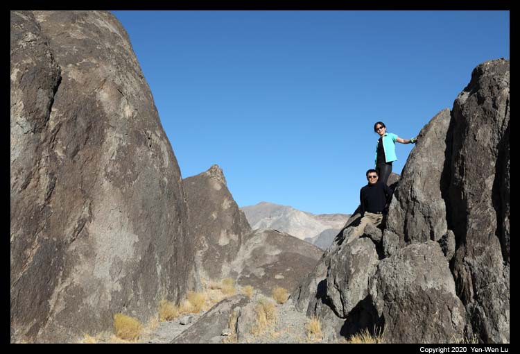
Death Valley, established as a National Monument in 1933 and
redesignated as a National Park in 1994, is the largest National
Park in the contiguous United States with more than 3.3 million
acres of desert wilderness. Death Valley is a place of extreme:
the hottest and driest place in US with summer high temperatures
commonly running above 120F (134F, the highest ambient air temperature ever
recorded at the surface of the Earth , was noted in 1913), and the lowest point (282 feet
below sea level at Badwater) in the Western Hemisphere.
Getting there ...
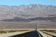
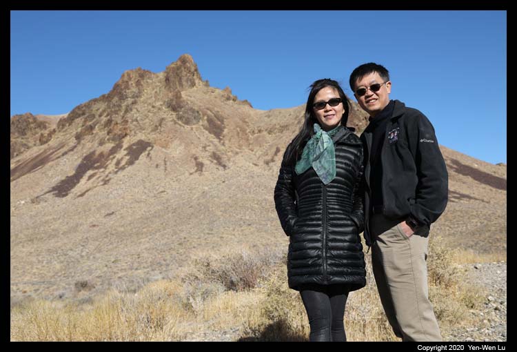
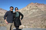
| It's a long drive from our Bay Area home to Death
Valley (~450 miles). We started in the early morning at 7AM, with
only a quick stop at a McDonald's (drive-through and restroom) and gas
station in Bakersfield, and we entered the park on the western side
(Panamint Valley) at about 2:30PM. The pandemic during this
Thanksgiving holiday was definitely a concern for many people to travel.
We hoped our long drive (instead of flight) could provided us a safe and
enjoyable way to spend our holidays (as we did not let Linus and Iris
fly home to be with us). |
 |
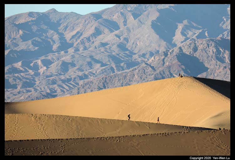
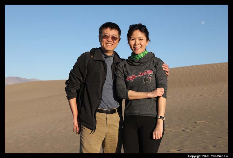
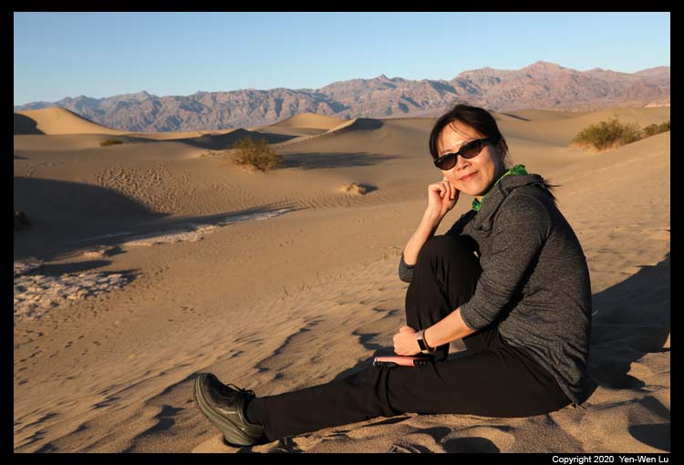
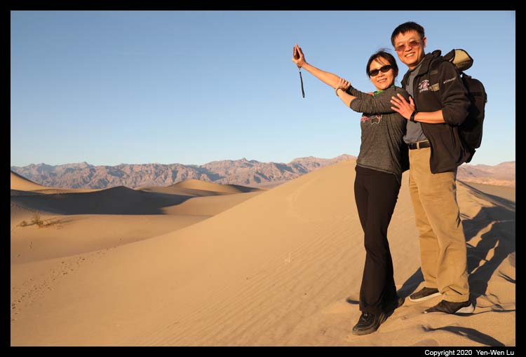
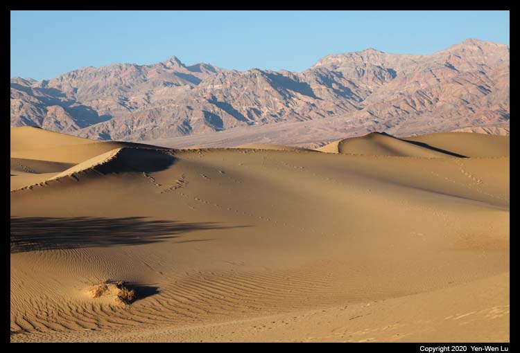
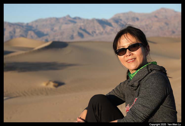
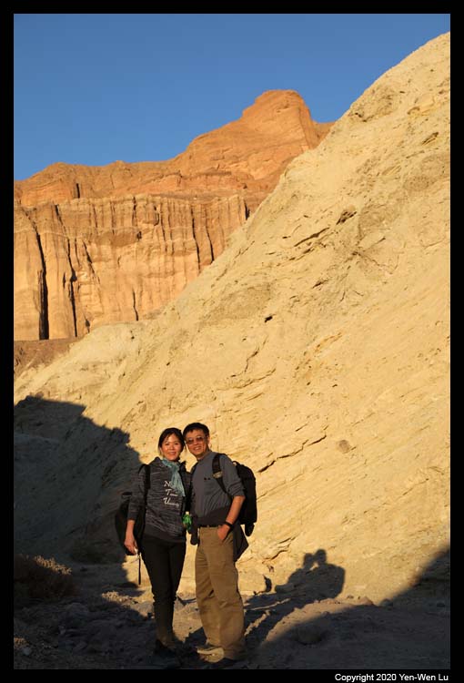
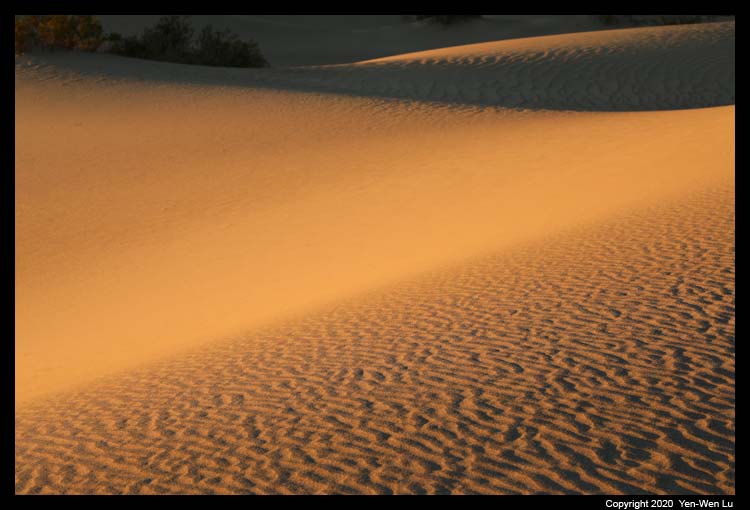
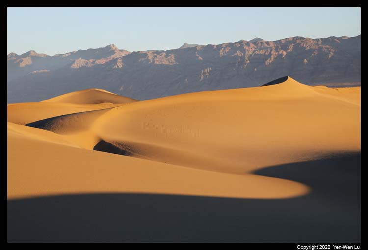
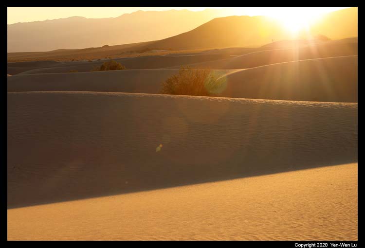
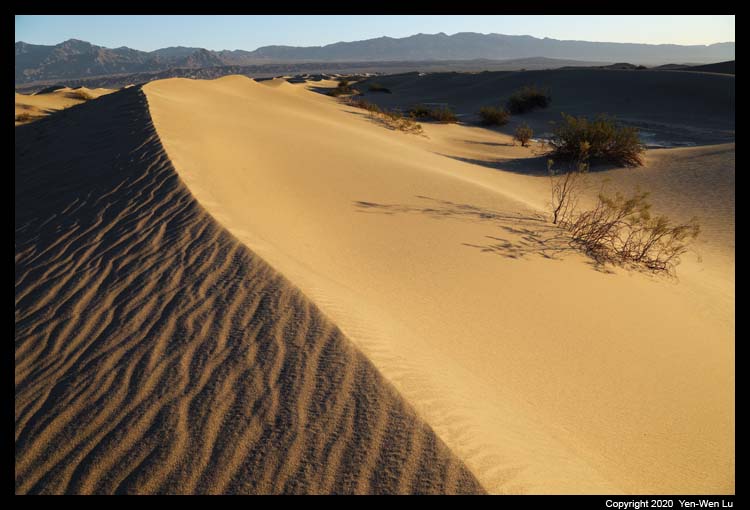
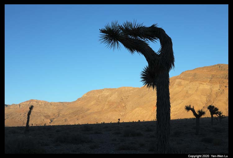
- Mesquite Flat Sand Dunes
Mesquite Flat Sand Dunes, located at the northern end of the valley
floor and nearly surrounded by mountains on all sides, are the largest and
most accessible dune field in the park. When we got there after 3PM,
the parking lot was completely full, and many people were still coming as
this is one of the most popular attractions in the Death Valley. Since
the dune field covers a huge area, people were dispersed quickly after a few
steps away from the parking lot. The late afternoon sunlight was good,
but the footprints were everywhere that it was difficult to find a place
which we could have some clean sand dune background for pictures.
The Second Day (11/26)...
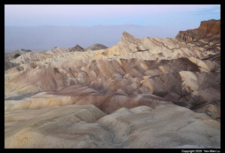
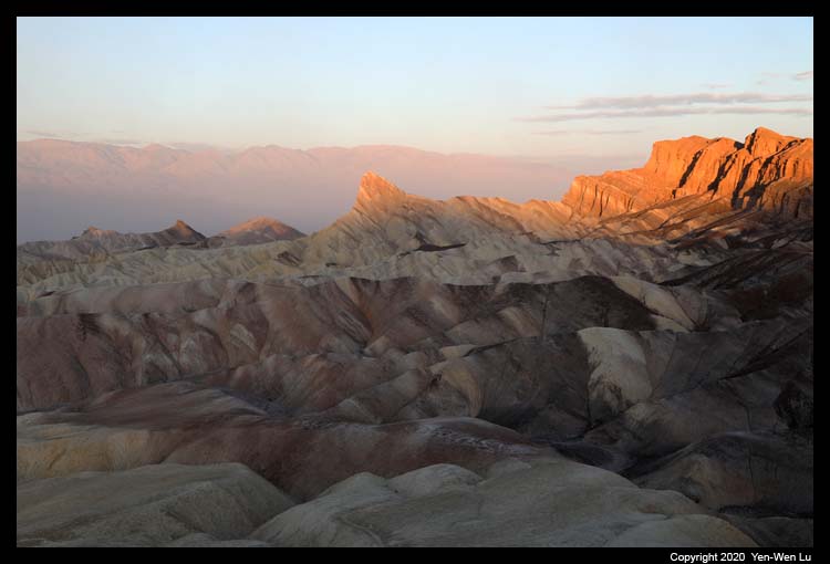
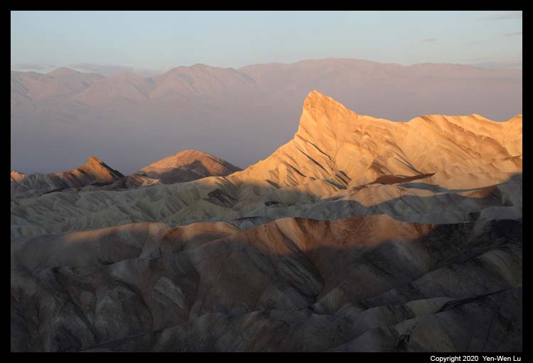
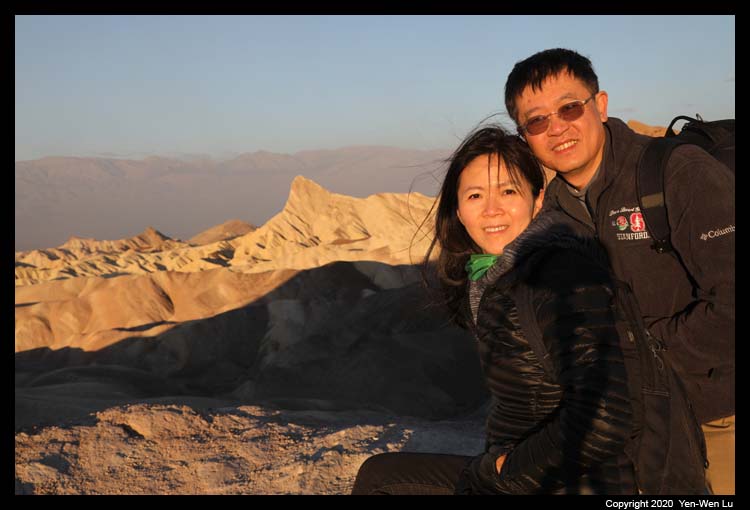
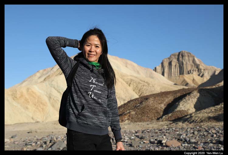
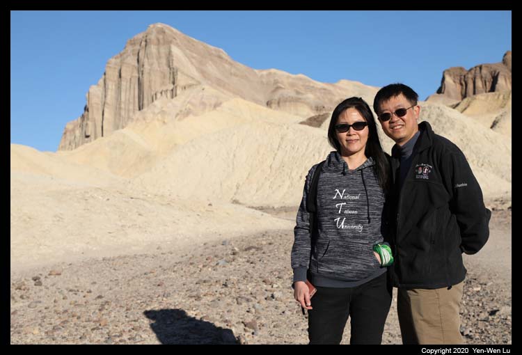
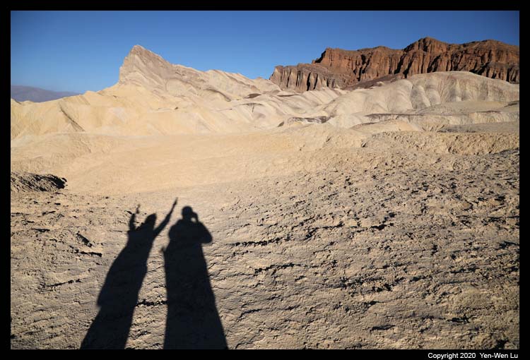
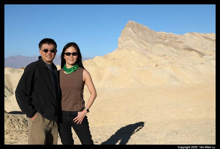
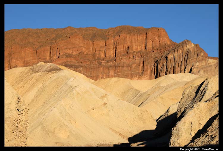
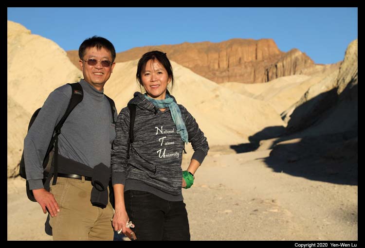
- Sunrise at Zabriskie Point
We got up early to go to Zabriskie Point
for the sunrise. It is one of most popular places in the park for the
early morning and there was already a small crowd at the view point when we
got there. The golden light gradually moved up and illuminated
the Manly Beacon Peak and Red Cathedral, and the surrounding badlands
provided a nice foreground for a picture-perfect sunrise morning.
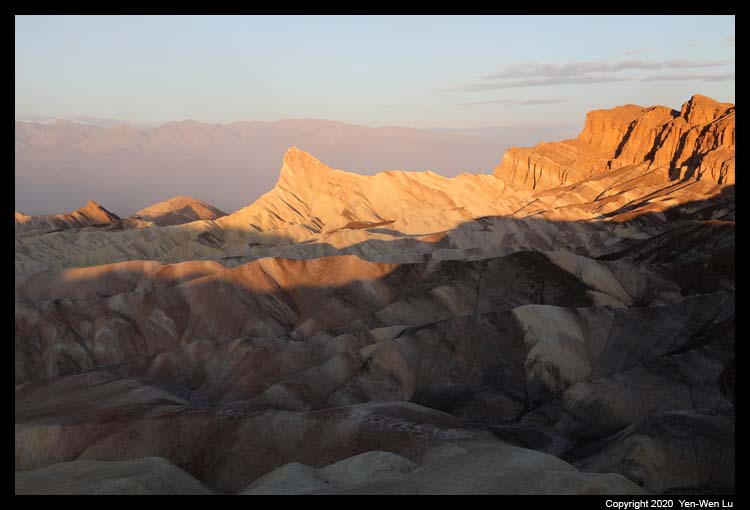
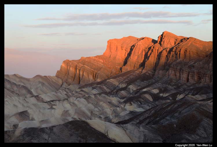
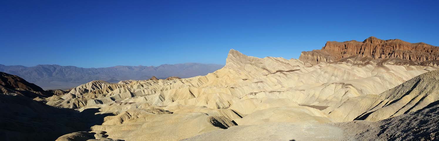
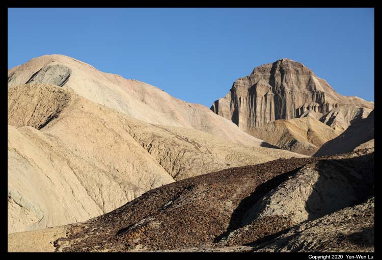
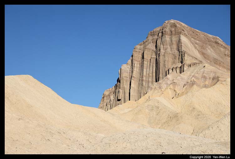
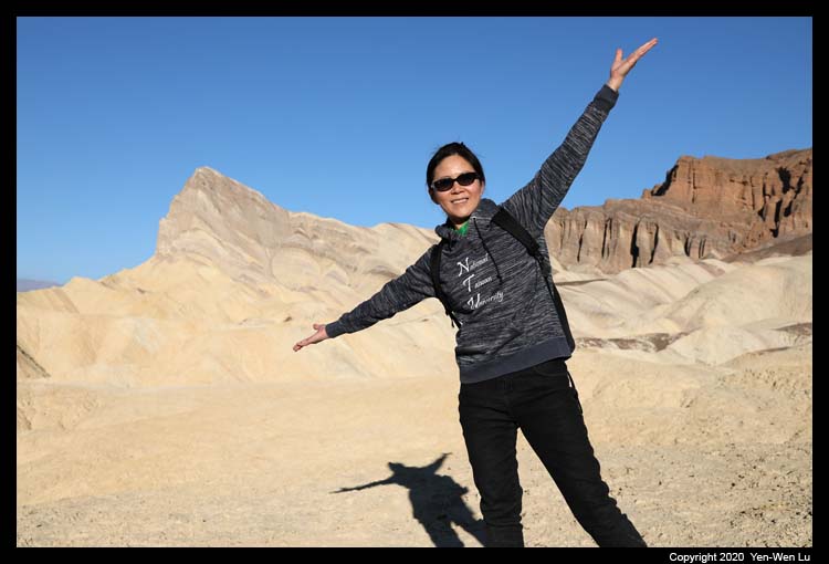
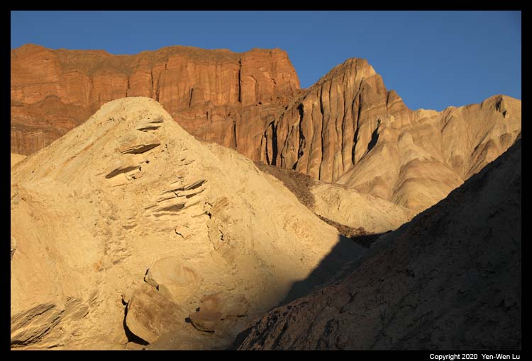
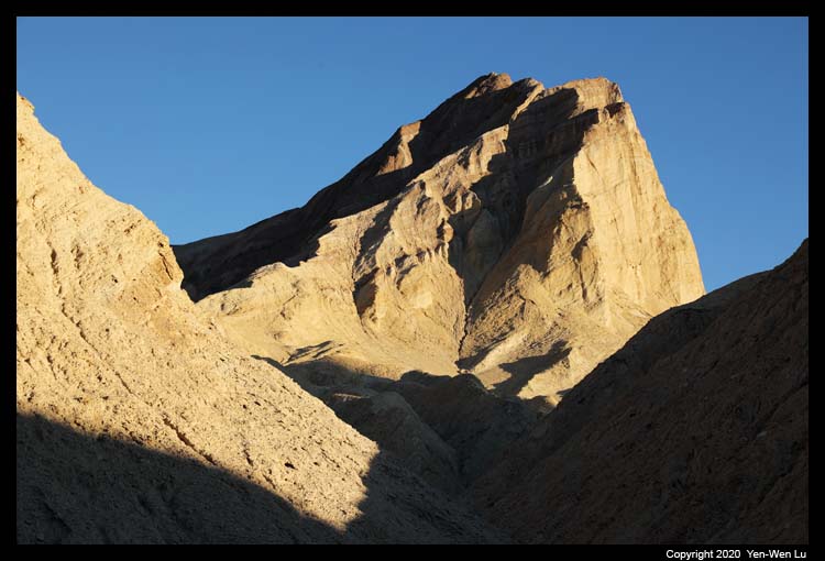
- Badlands Loop
After the sunrise photo time, we directly went down to the canyon to
take the 2.7-mile Badlands Loop trail. The trail winds through
colorful badlands composed of an ancient lakebed. It had a
different angle view of Manly Beacon, which was really standing out in the
warm morning light.
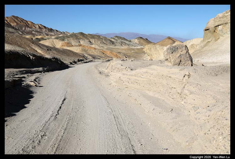
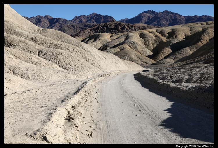
- Twenty Mule Team Canyon Road
Twenty Mule Team Canyon Road is a 2.7-mile unpaved, one-way,
lightly-used track that leads up a dry wash then winds through colorful,
eroded badlands back to the highway. The eroded badlands at either
side have greatly contrasting colors - black or dark brown to the west,
cream, yellow and white to the east. The unpaved road is good for most cars
and drivers.
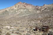
The mines in this region, along the northern foothills of
the Black Mountains, were established in the early 1900s by prospectors
looking for borax and gypsum. Excavated ore from other Death Valley
borax mines was transported by hardworking teams of 20 horses and mules,
after which the canyon is named, though it is thought the teams were not
employed in this particular area.
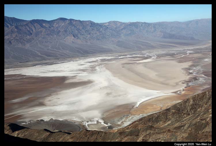
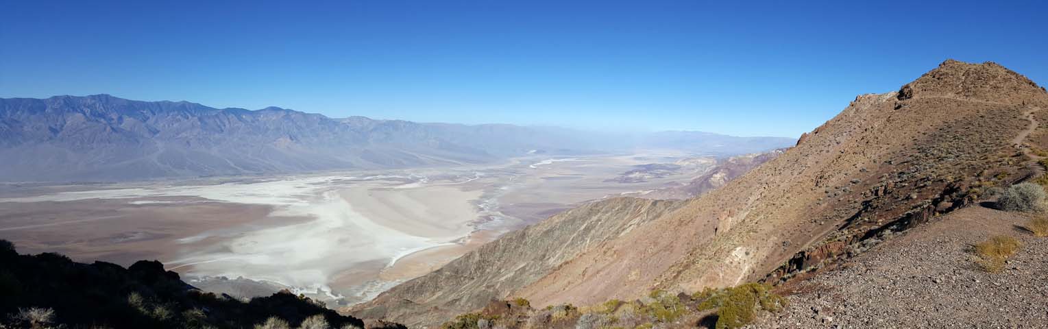
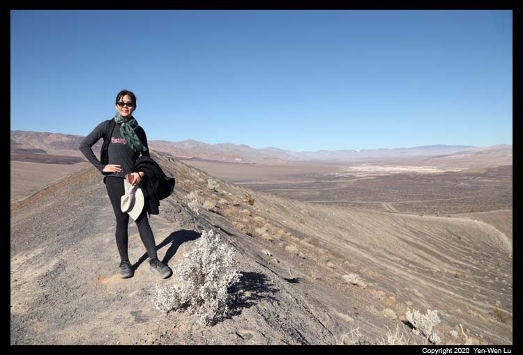
- Dante's View
At 5,475 ft (1,669 m), Dante's View is the most breathtaking viewpoint
in the park. Facing west, the view of the Panamint Mountains (highest point
Telescope Peak at 11,331 feet (3,454 m)) towers over the lowest point
(-282ft / 86m) in North America (Badwater Basin). Dante's View
was used as a filming location for the 1977 film Star Wars (Episode IV, A
New Hope) as the characters overlook the fictional Tatooine spaceport of Mos
Eisley.
We went back to our hotel room at Furnace Creek to have
an early lunch in our room. We took a short break before we went to the
Badwater Road for our afternoon journey.
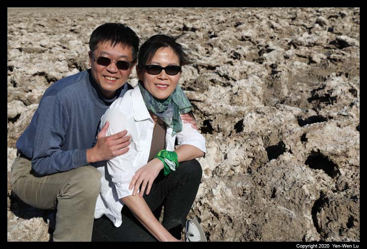
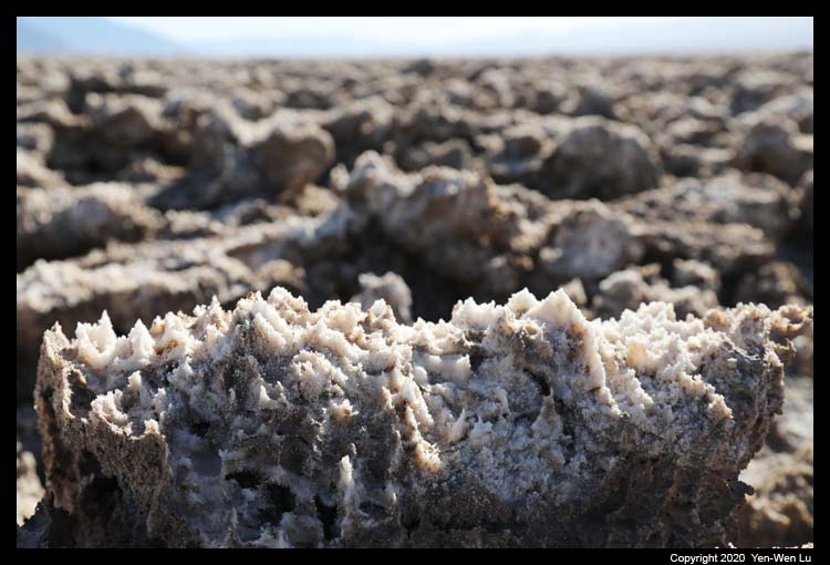
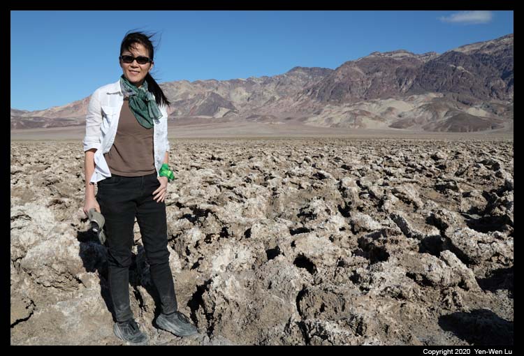
- Devil's Golf Course
The Devil's Golf Course is a large salt pan on the floor of Death Valley. It
is an immense area of rock salt eroded by wind and rain into jagged spires.
It was named after a line in the 1934 National Park Service guide book to
Death Valley National Monument, which stated that "Only the devil could play
golf" on its surface, due to a rough texture from the large halite salt
crystal formations.
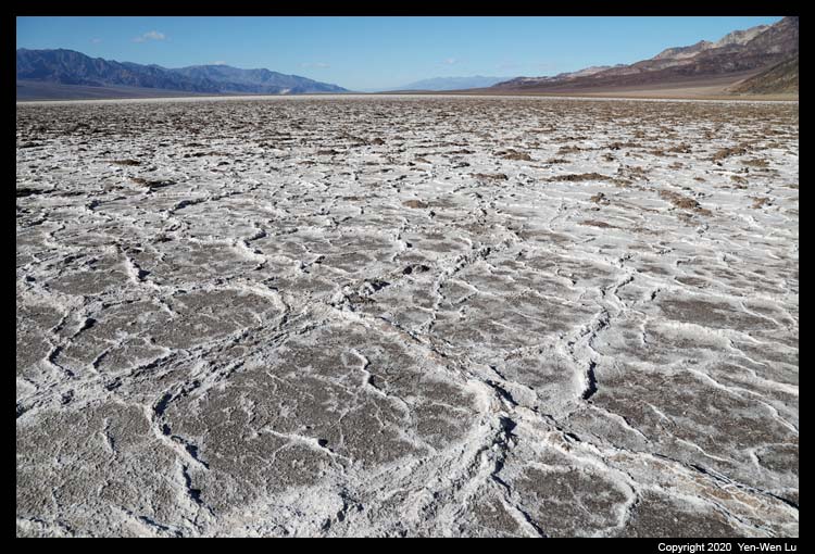
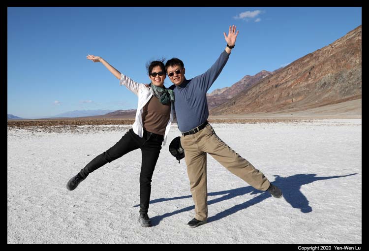
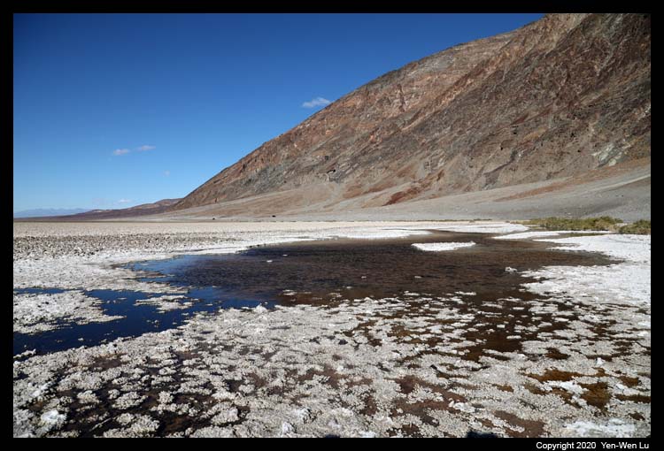
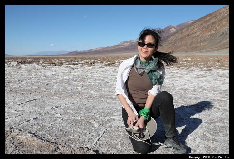
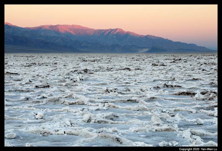
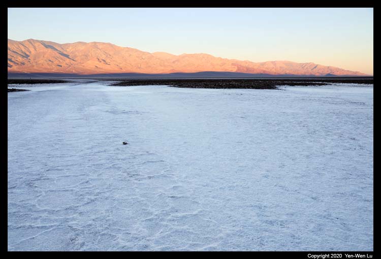
- Badwater Basin
This large salt flat is home to the lowest
elevation in North America, at - 282 feet (-86 m) below sea level. The
massive expanse of white is made up of almost pure table salt. The
site itself consists of a small spring-fed pool of "bad water" next to the
road in a sink; the accumulated salts of the surrounding basin make it
undrinkable, thus giving it the name "badwater".
This pan was
first created by the drying-up of 30-foot (9.1 m) deep Recent Lake 2000 to
3000 years ago. Unlike at the Devils Golf Course, significant
rainstorms flood Badwater, covering the salt pan with a thin sheet of
standing water. Each newly formed lake doesn't last long though, because the
1.9 inches (48 mm) average rainfall is overwhelmed by a 150-inch (3,800 mm)
annual evaporation rate.
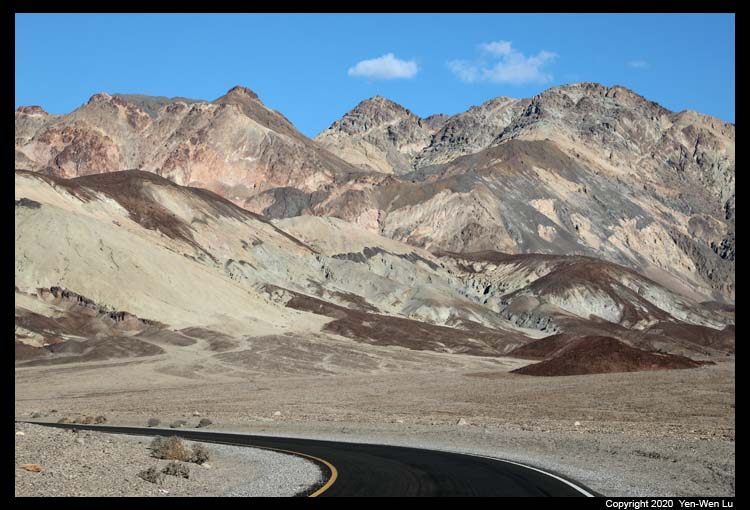
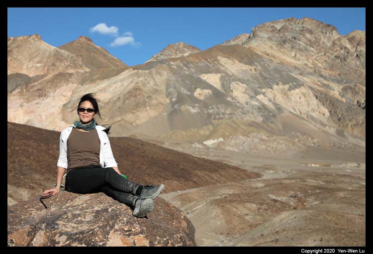
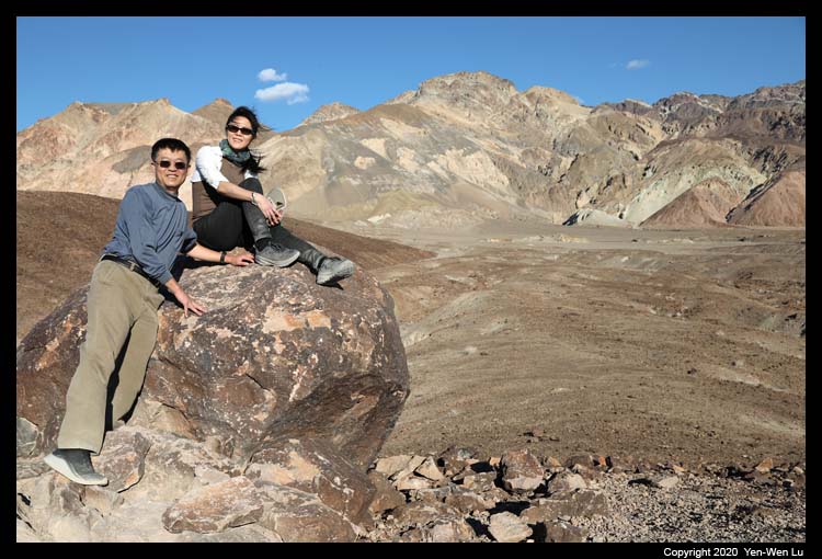
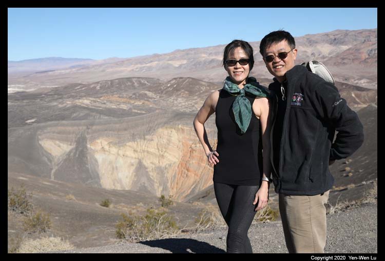
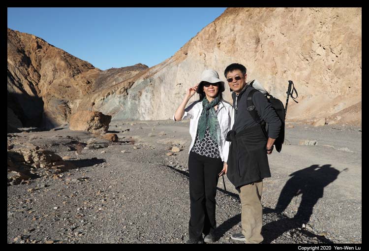
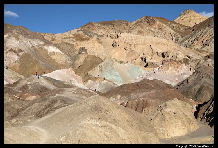
- Artists Drive
Artists Drive is a 9-mile scenic drive will wind you
through a patchwork of multicolored, eroded hills.
Artist's Palette is an area on
the face of the Black Mountains noted for a variety of rock colors. These
colors are caused by the oxidation of different metals (iron compounds
produce red, pink and yellow, decomposition of tuff-derived mica produces
green, and manganese produces purple).
At a corner not far from the exit of the Artists Drive,
there is a special rock which we had a picture when we first visited Death
Valley in 1997. We paid a
special attention and found the same rock on the way. It's interesting to
have the same picture after so many years....
 |
 |
|
|
| 1997 |
2020 |
|
|
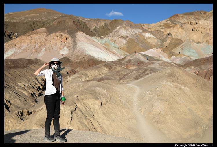
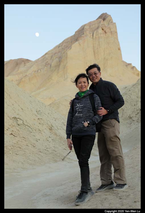
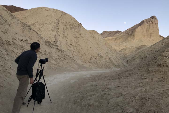
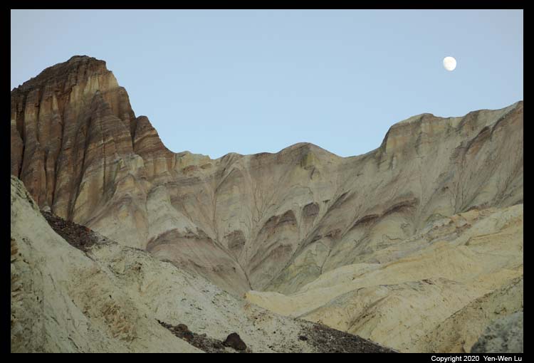
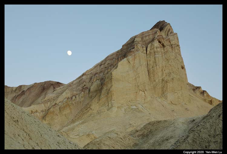
- Golden Canyon
Golden Canyon trail is one of our favorites as the Red
Cathedral and Manly Beacon are bathed in the golden light in the late
afternoon. The route up Golden Canyon is gradually uphill through a
rocky corridor of towering golden walls. The sun was set behind the
Panamint Mountains on the western side earlier than I expected (more than 30
minutes before the sunset time), and it lost the golden light suddenly
before we reached the Red Cathedral. Luckily, the
moon was rising beside
the Manly Beacon Peak, which was quite a surreal scene (and most
tourists/hikers have been long gone by this time).
The Third Day (11/27) ...
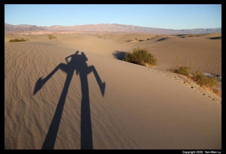
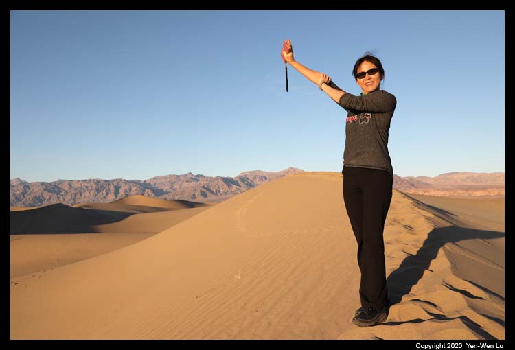
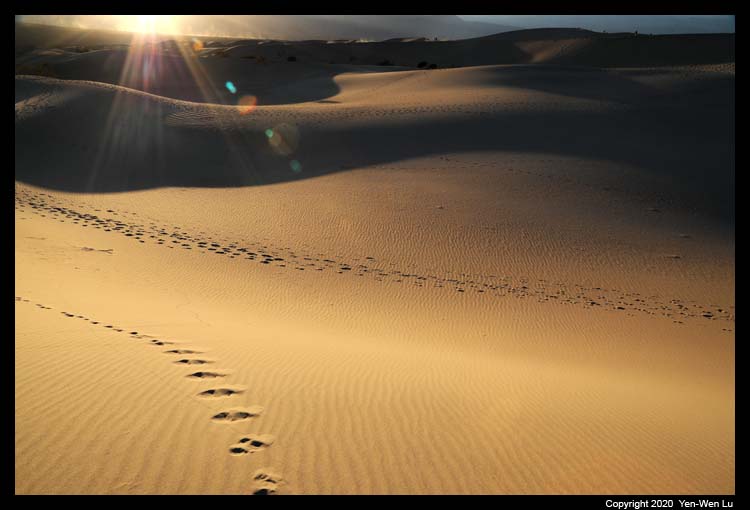
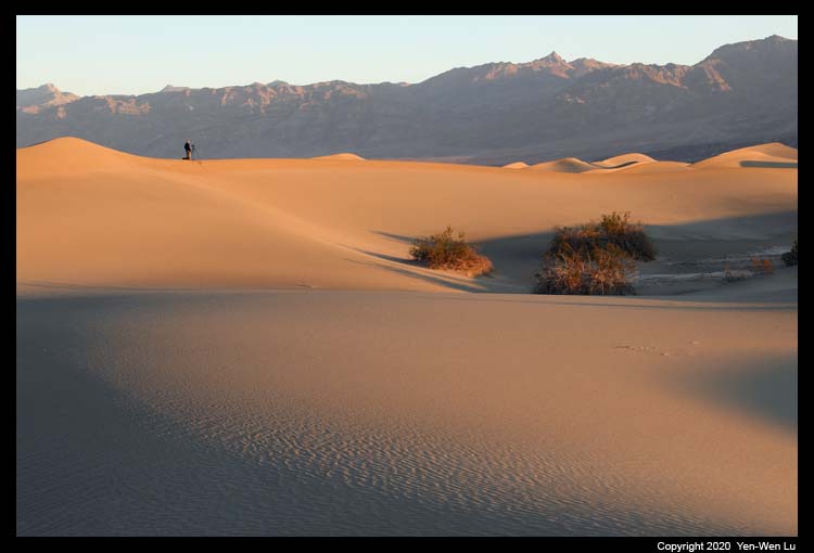
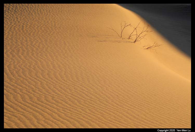
- Mesquite Flat Sand Dunes
I got up early and headed to the Mesquite Flat Sand Dunes again for sunrise. It's quite a challenge to photograph sand dunes because: 1) it is difficult to scout a place on the previous days since there
is no trail and there is no way to find the exact same place again, and 2)
it is also very tricky to avoid all those footprints and when you want to
try different composition, you have to be very careful not to create too
many footprints to ruin yourself. It had been quite windy yesterday
and I had hoped it would be able to clean up most footprints overnight.
When I got to the parking lot (about 40 min before sunrise time), there were
already more than 10 cars around. Luckily I did find an area of sand
dunes without footprints on the east side of the main dunes (as most people
were still going toward the tallest dunes). I think I am happy with
all the conditions and the results.
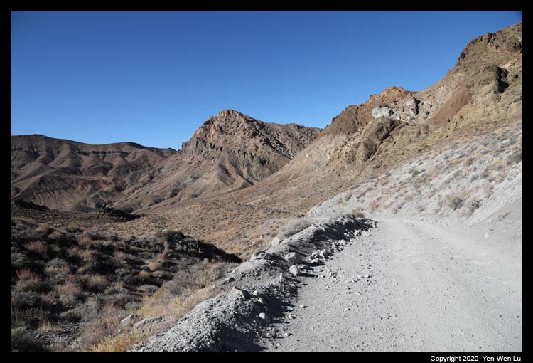
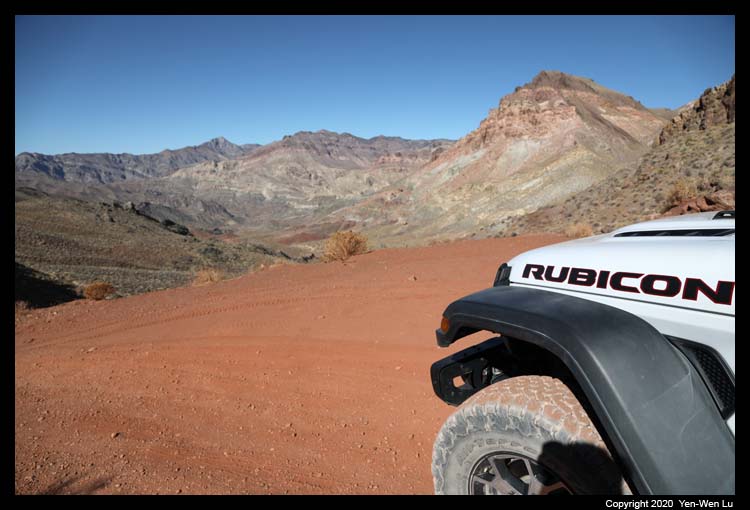
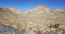
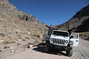
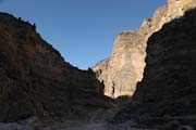
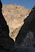
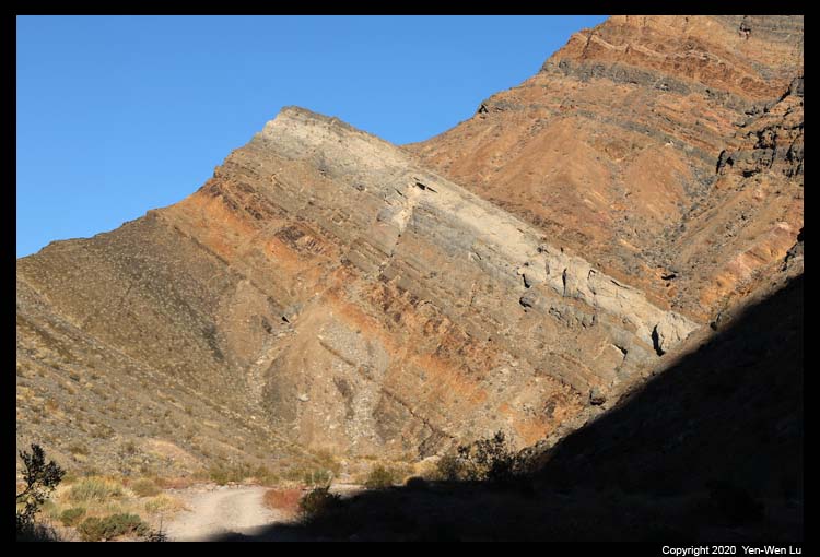
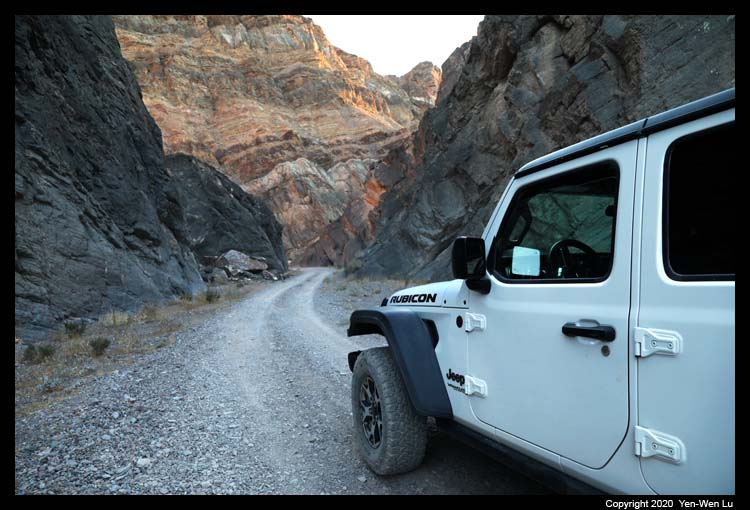
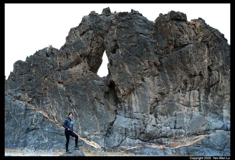
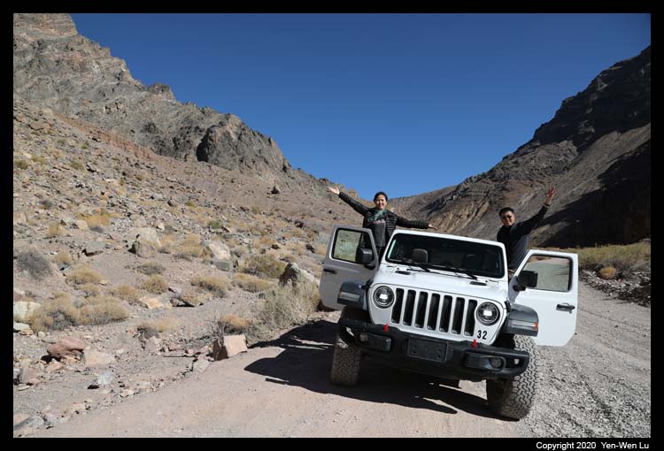
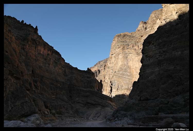
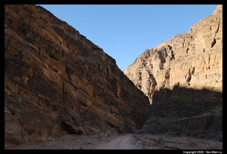
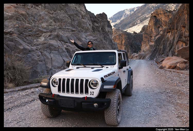
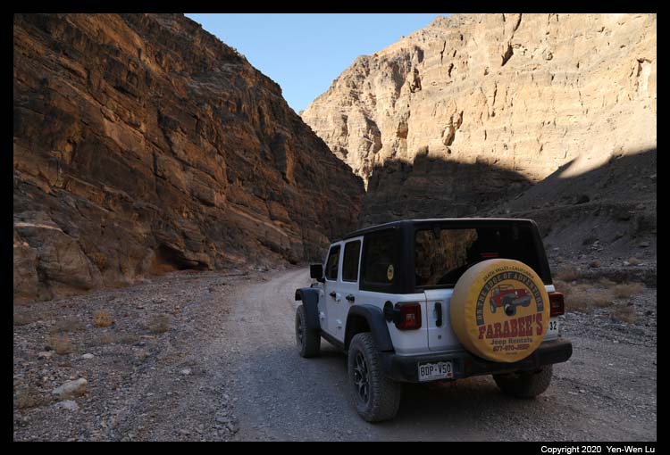
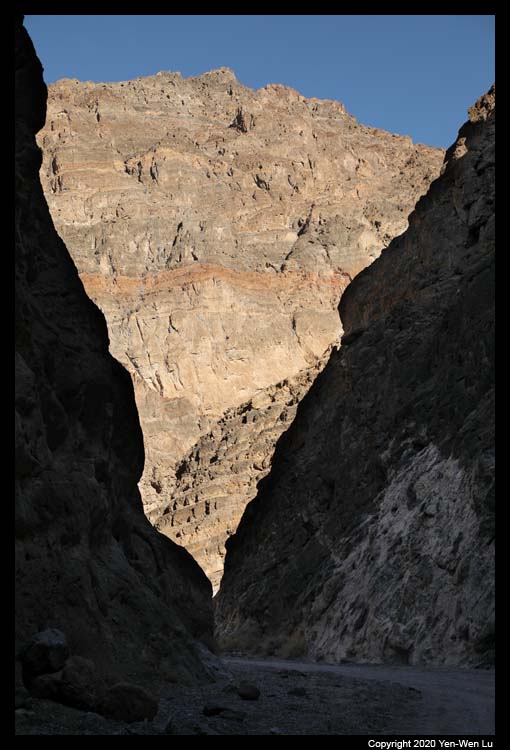
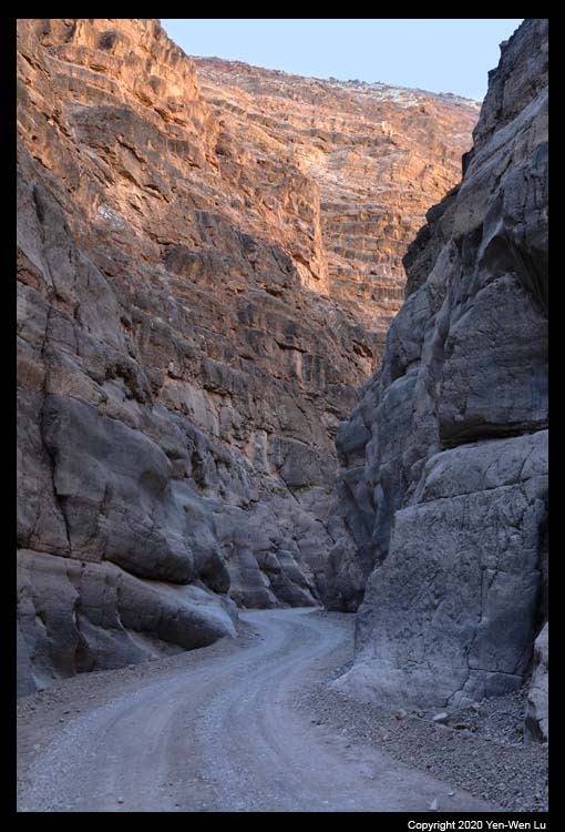
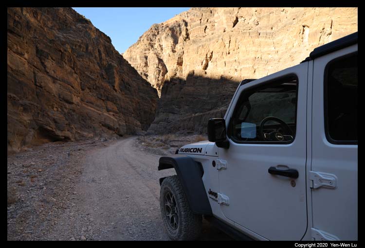
- Titus Canyon
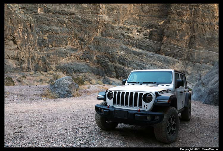
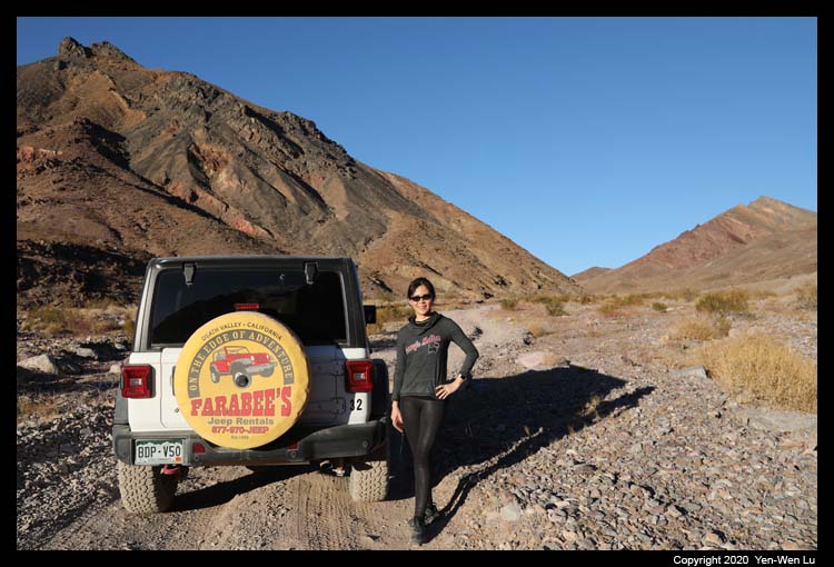
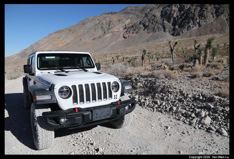
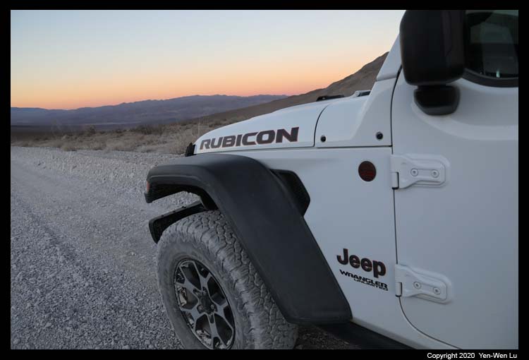
In order to explore more backcountry side of the Death Valley, I rented
a 4x4 Jeep from Farabee's for 2 days.
In addition to a cooler with bottles of water, it also came with a special
GPS Spot Unit which can send out help signals in case of emergency.
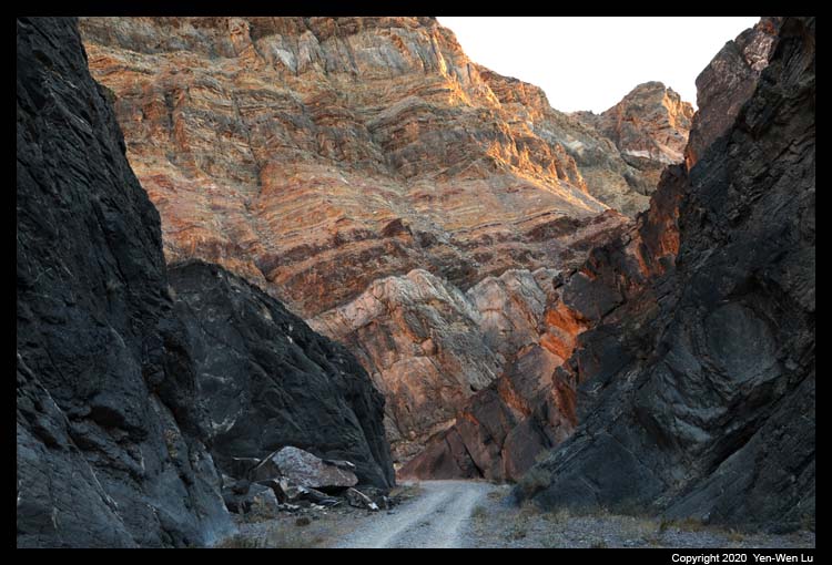
Titus
Canyon is one of the most popular backcountry roads in the park and it is
one-way from east to west starting from Nevada outside the park boundary.
Winding through the Grapevine Mountains, the road climbs to roughly 5000
feet in elevation at Red Pass, drops back down into Leadfield Ghost Town and
also passes by petroglyphs at Klare Spring made by the Nevares Timbisha
Shoshone Native Americans. Ending this trail is a beautiful and spectacular
slot canyon gleaming with quarts and many other minerals.
Established as a settlement for mining copper and lead, the area around
Leadfield began attracting miners in the early 1900s. It was a mining boom
town founded on wild and distorted advertisement by an investor named
Charles C. Julian in 1926. A post office was established in August
1926, but in February 1927, the post office closed and the town died.
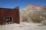
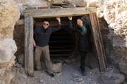
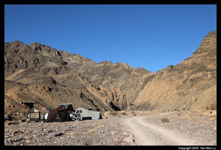
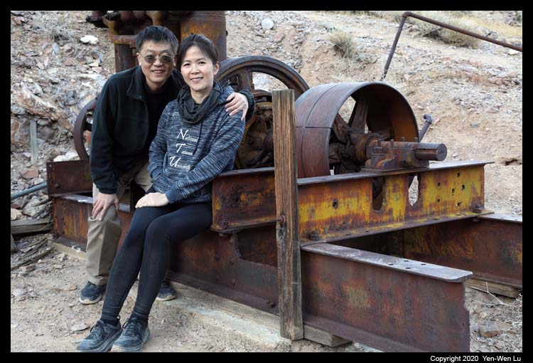
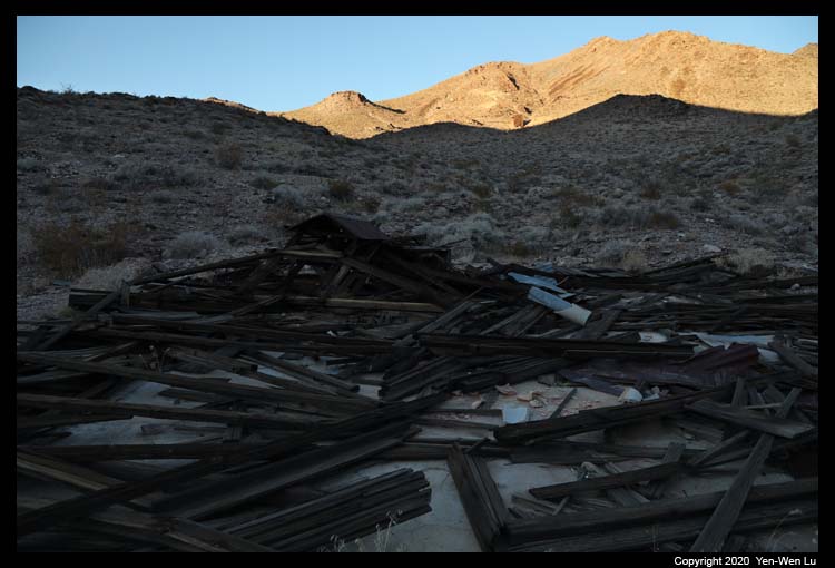
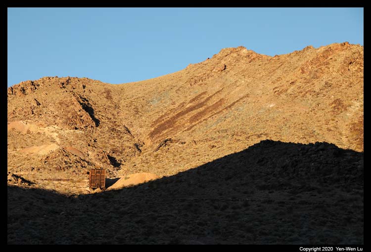
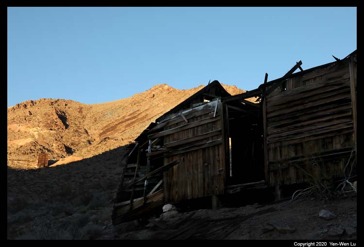
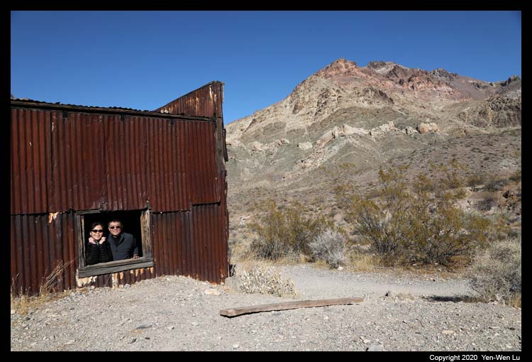
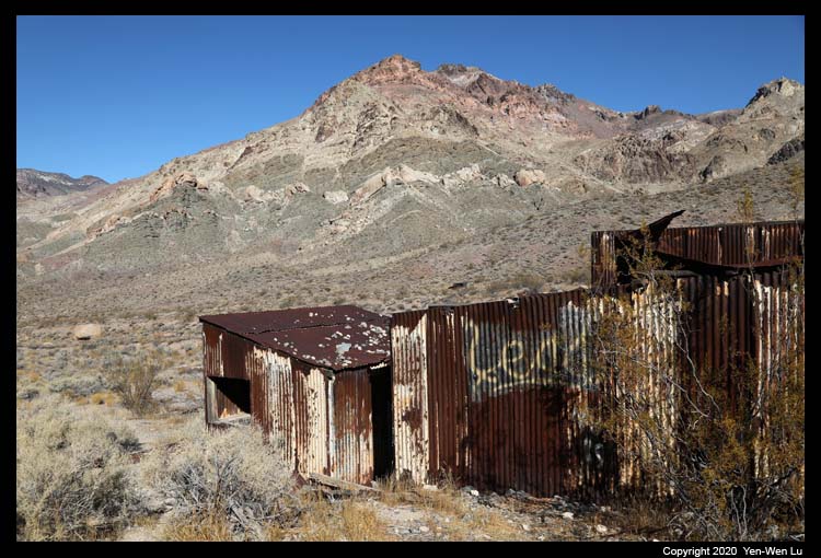
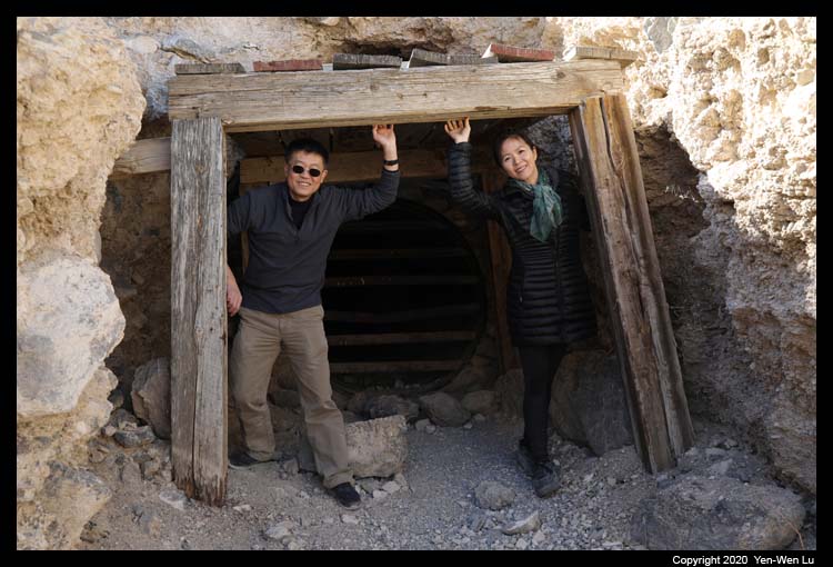
- Echo Canyon & Inyo Mine
After a late lunch at the hotel room (as we spent a lot of extra time in
Titus Canyon taking pictures...), we headed out to another backcountry road
to the Echo Canyon. After following a few slow vehicles in the first
few miles on the dirt road, we entered a section of slot canyon which
did have echoes when you talked in the canyon. The trail ends at the
well preserved Inyo Mine, a mine complete with large historical equipment
The Fourth Day (11/28) ...
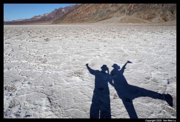
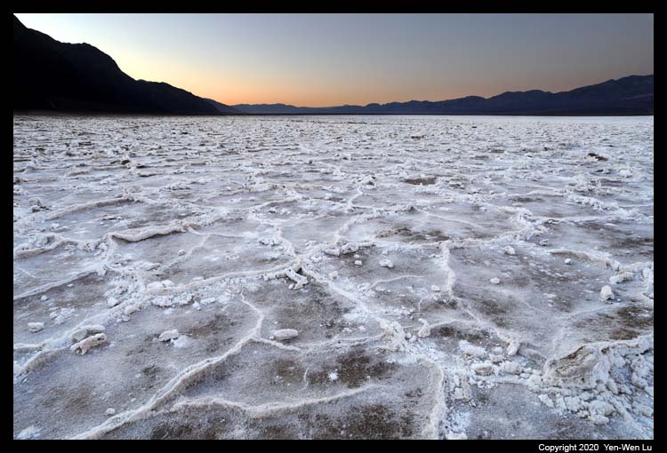
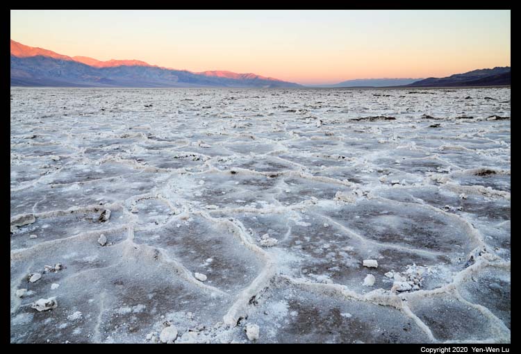
- Sunrise at Badwater
I walked toward the center of the salt pan at Badwater in the dark before
sunrise for about 30 minutes until I reached a region with nice hexagonal
saucer patterns. The southern/eastern sky started to brighten up and
the pink/orange color started to glow on the other side of the sky.
It's a very tranquil feeling to stand in the middle of the expansive salt
flat without any soul around you.
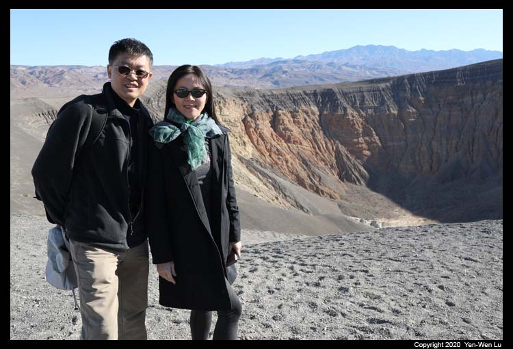
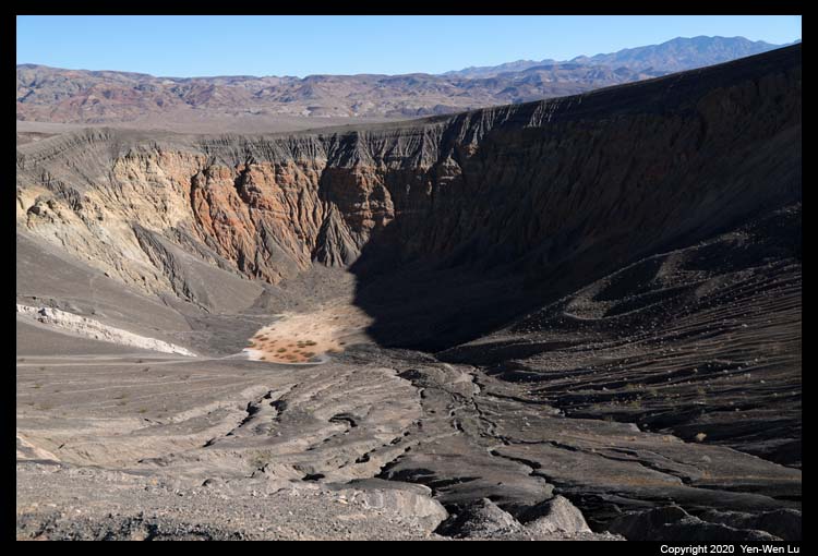
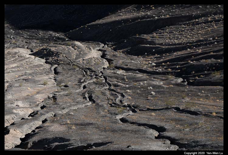
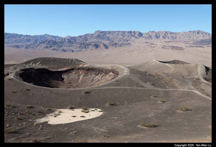
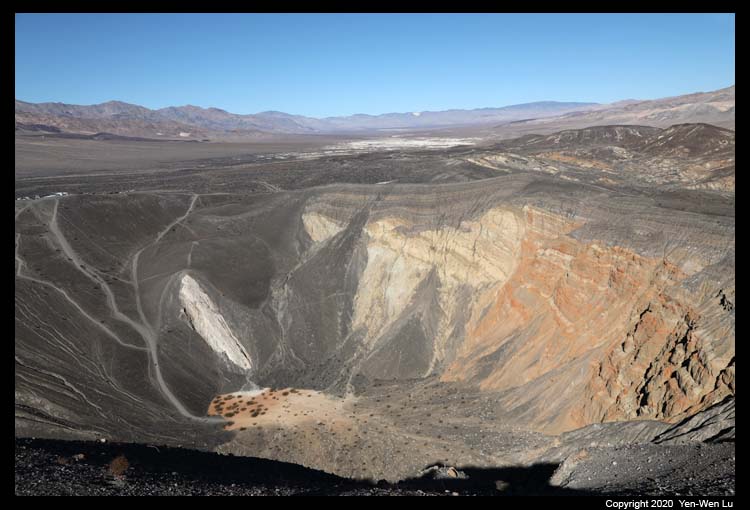
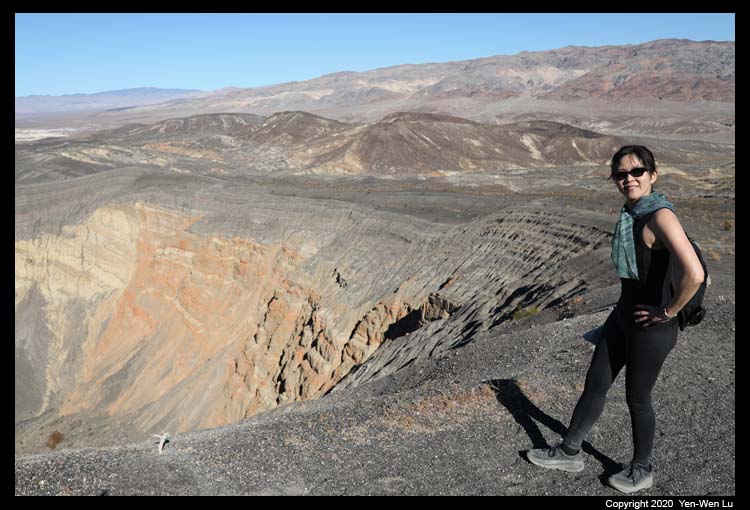
- Ubehebe Crater
We headed north to Ubehebe Crater in the morning (the nearby Scotty's
Castle was closed due to a serious flood damage in 2015). Ubehebe
Crater is the largest of more than a dozen of in the Ubehebe Craters field,
which consists of 14-16 craters in a 3-square-kilometre (1.2 sq mi) area.
The largest Ubehebe Crater is half a mile (800 meter, 2600 feet) wide and
771 feet (235 meters) deep. Recent research has shown that the Ubehebe
Craters all formed in a single phreatomagmatic eruption episode about 2,100
years ago, making it one of the most recent volcanic events in southern
California.
We took the 1.5-mile rim loop trail in the
counter-clockwise direction where hikers begin with the uphill section first
and within 0.5 mile the Little Hebe Crater comes into view for a moon-like
landscape. We did not want to go down to the crater as we know it will
be very hard to walk back up on the steep ash/gravel slope from our
experience at the Cinder
Cone at Lassen.
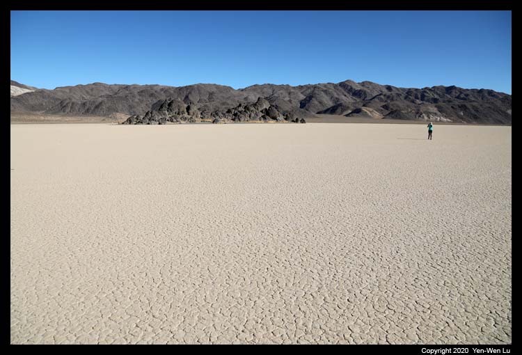
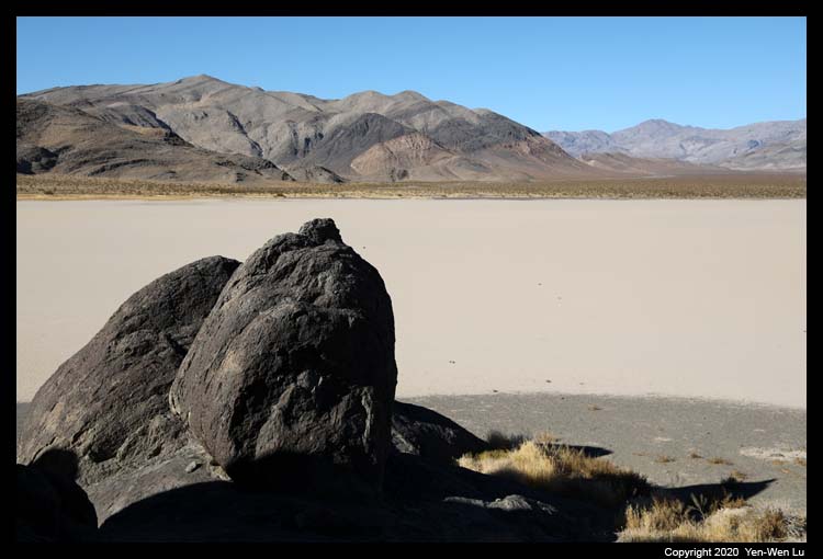
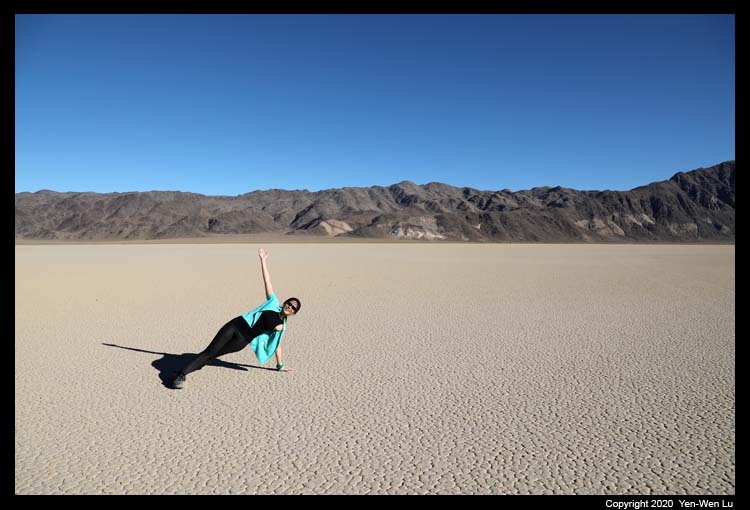
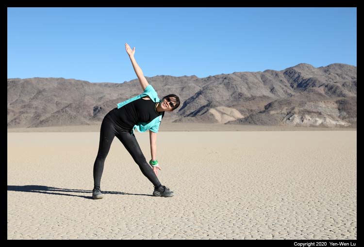
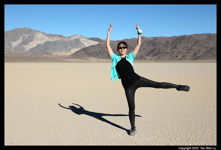
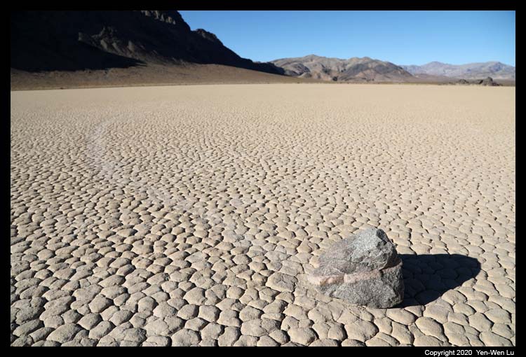
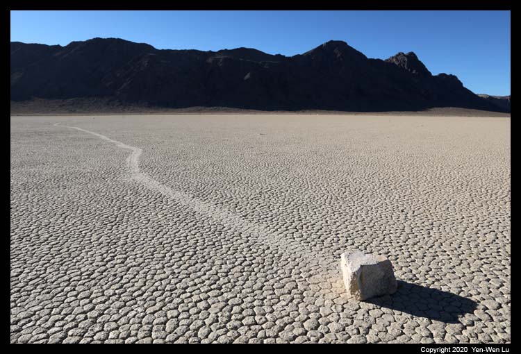
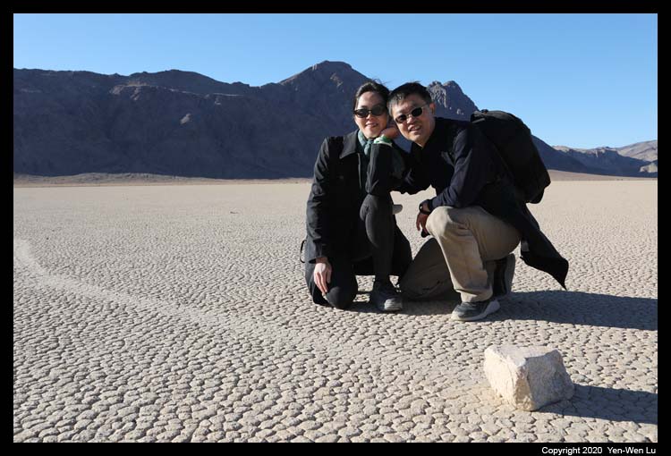
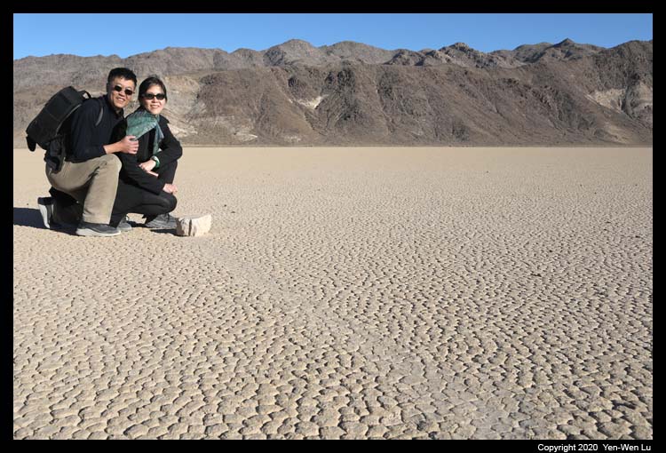
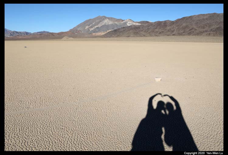
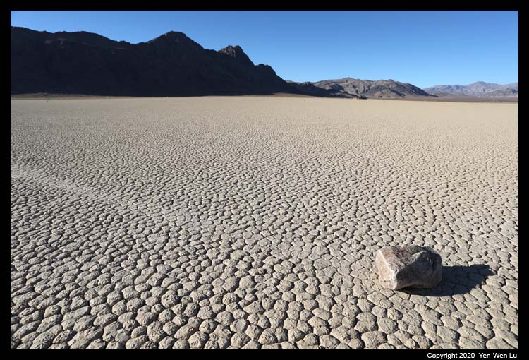
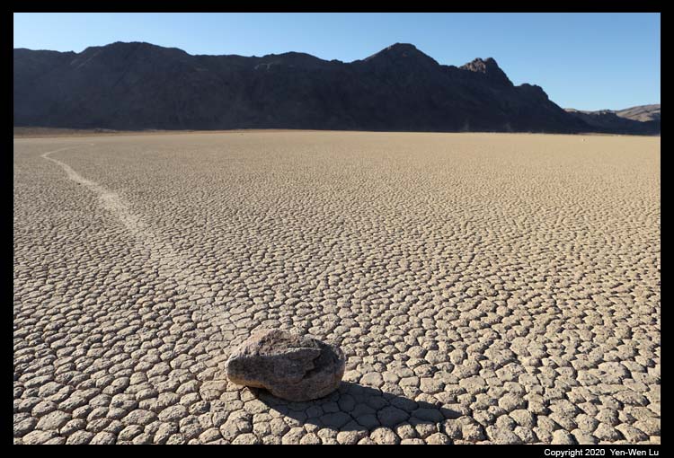
- Racetrack
Playa
The Racetrack Playa is a dry lake (playa) located in the
northern part of the Panamint Mountains that is famous for rocks that
mysteriously move across its surface and left "racetrack" imprints.
The Racetrack Playa is 3,714 feet (1,132 m) above sea level, and 2.8 mi
(4.5 km) long (north-south) by 1.3 mi (2.1 km) wide (east-west). The playa
is exceptionally flat and level with the northern end being only 1.5 inches
(3.8 cm) higher than the southern. The road to the Racetrack is
rough, and good tires, 4x4 and high clearance are usually required.
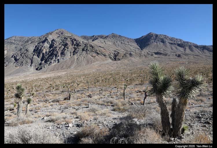
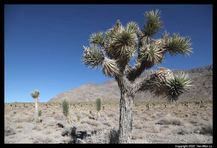
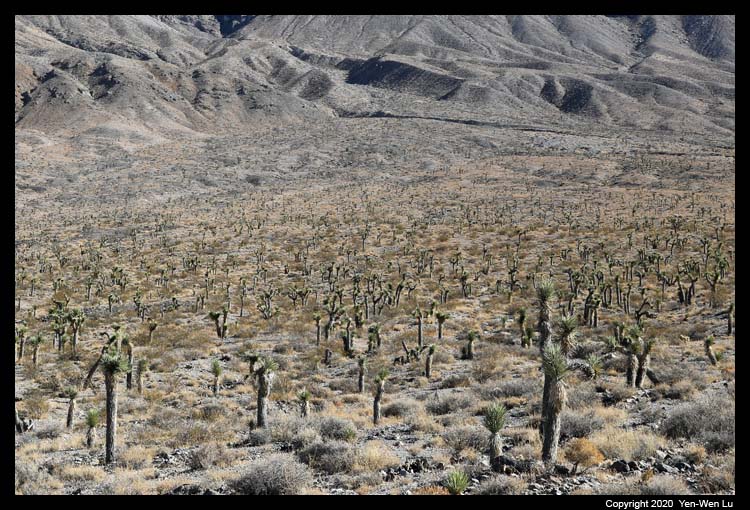
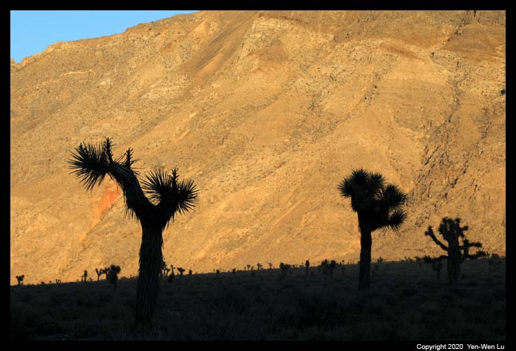
Along the way, there is a region with a field of Joshua Trees.
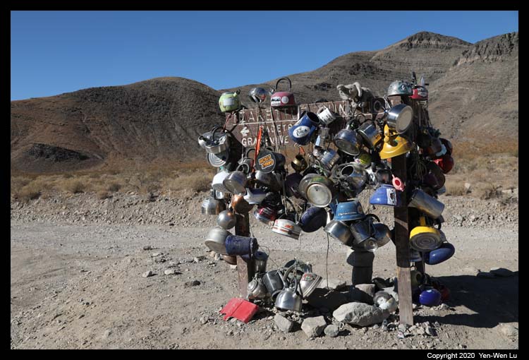
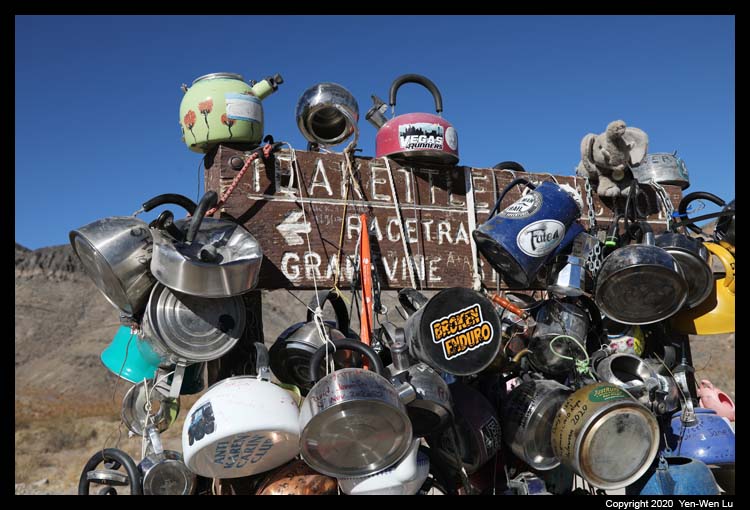
After ~20 miles we reached the Teakettle Junction, where
it has a tradition for visitors to attach teakettles to the sign with messages
written on them.
Continuing for another few miles, it was quite impressive
when the Racetrack Playa came into our view, and we could see the "Grandstand",
a 73-foot (22 m) high bedrock of island, rises up in the middle of dry lake.
It's a short walk from the road side to the Grandstand, and we found the first
"sailing" rock not far from the Grandstand.
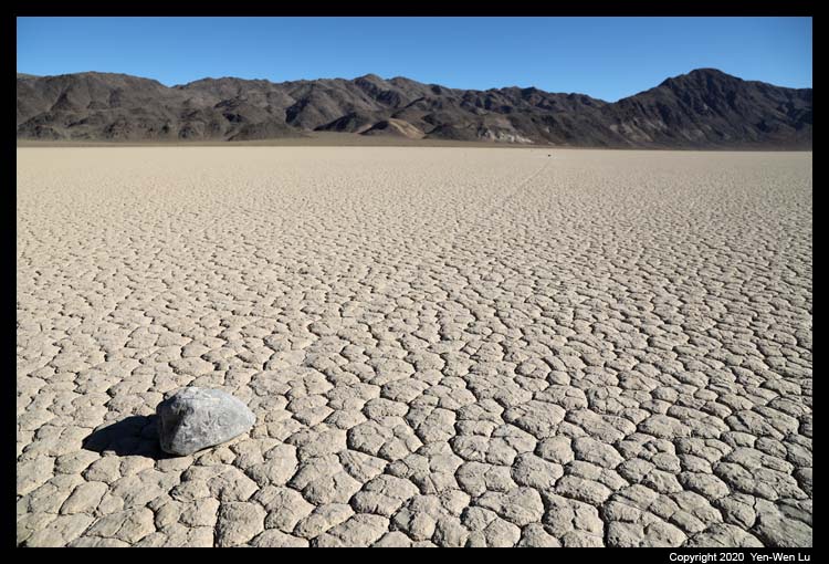
To find more "sailing" (or "moving") rocks, we continued
to drive for another 1-2 miles, and walked about half mile toward the southeast
corner of the playa. We did find about 10 rocks worth taking pictures
with. It's an interesting feeling to see these rocks in person: they
did appear bigger in the pictures we saw because most of the photos were taken
with wide angle lens and close distance! Nonetheless, we were always
amazed by the mystery of nature.
The Last Day (11/29) ...
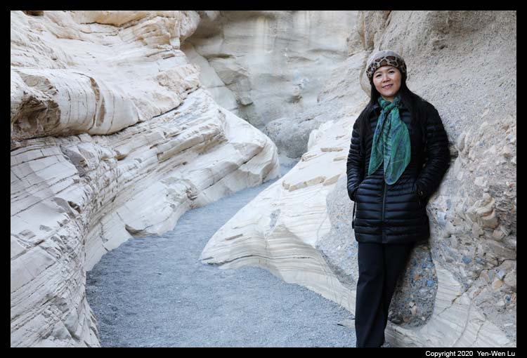
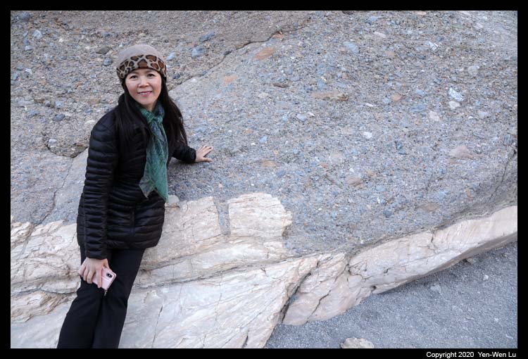
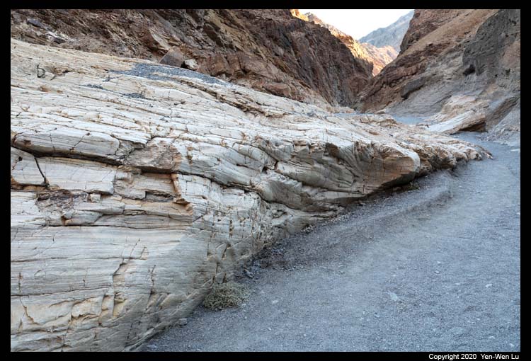
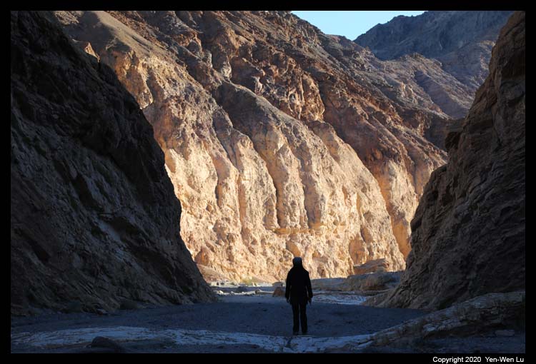
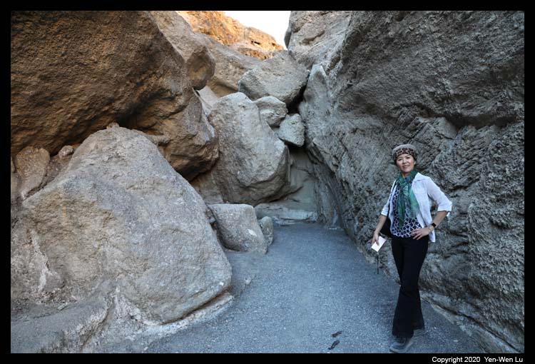
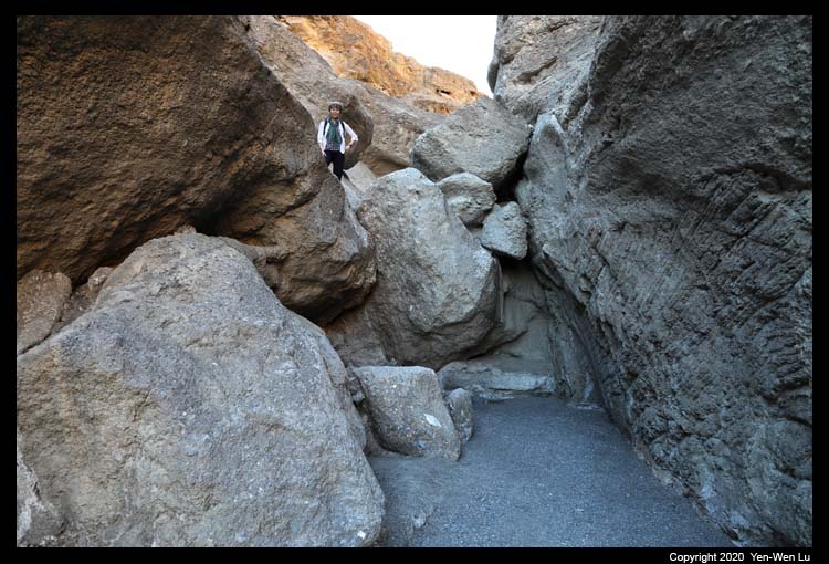
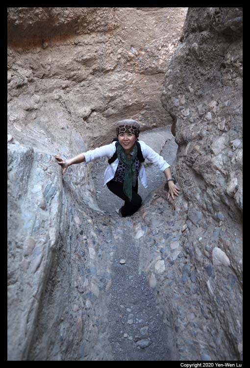
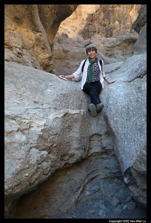
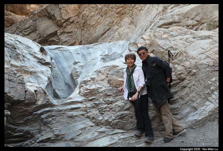
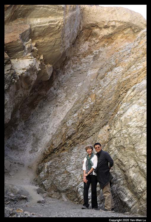
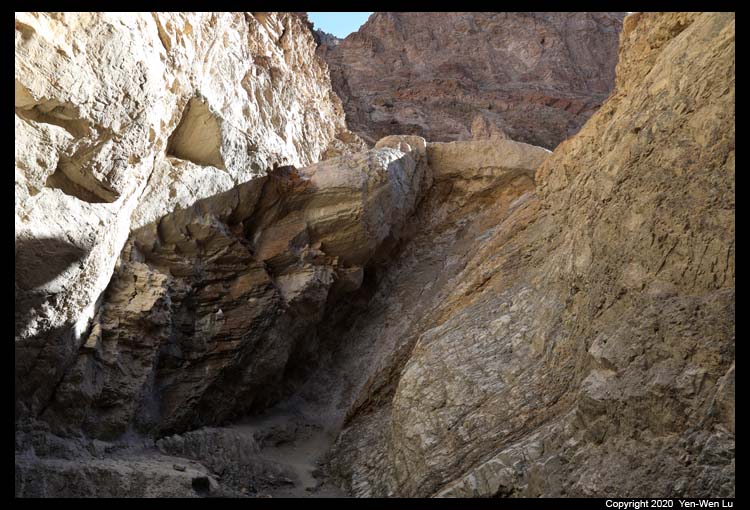
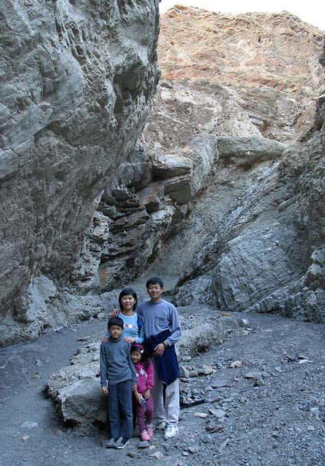
- Mosaic Canyon
Mosaic Canyon is another place which we have hiked every time when we
visited Death Valley. Within the first 0.25mi, the canyon
abruptly narrows as the smooth marble walls take shape around you. The
first real obstacle, a seemingly
impassable boulder jam,
appears at approximately 1.3mi (2km) into the canyon. A
hidden route against the
canyon wall on the far left side gave us a challenge passage to scramble up
to continue. After a series sets of narrows and dryfalls, we
reached a 20ft (6m) high
slanted dryfall pinned deep between vertical canyon walls where we
stopped here in 2004
(we were very amazed that Linus and Iris could get this far back then).
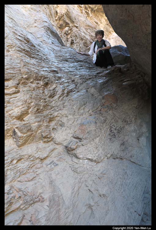
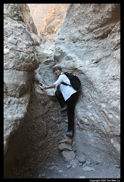
This time I learned to backtrack down the canyon approximately 180ft (55m)
and look for a faint footpath up the western wall. A well-defined bypass
trail is revealed 40ft (12m) above the canyon floor leading you up the
canyon above the dryfall.
Although we could go on to finish the trail, we decided to turn back here as
we need to start to prepare our long drive home. We will come back to
finish the Mosaic Canyon next time!
Going Home ...
After a short restroom break at the Stovepipe Well, we started our long drive
home. The traffic on Highway 5 was bad from time to time and it took us
one more hour to get home compared to 4 days ago when we drove to Death Valley.
In spite of the concerns about the COVID-19 pandemic, we felt safe with our
travel: driving instead of flying, social distancing and masks when we were
hiking, hotel room cleaning and no house keeping during our stay, and most
importantly we prepared all our food and did
not go to restaurants (except driving through McDonald's on the road). In
fact, I think our own food was so delicious that I looked forward to our dinner
every day as the highlight of the trip!
[Back to Photo Page]
[Go to Death Valley Gallery]


