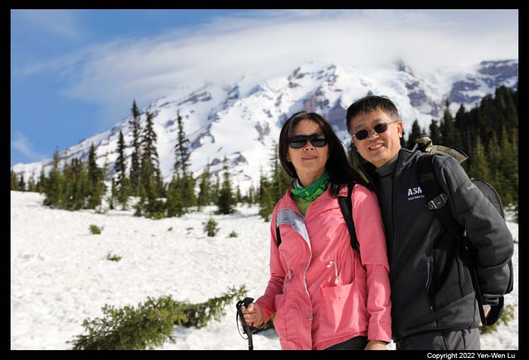
Ascending to 14,410 feet (4,392 m) above sea level, Mount Rainier is the highest
mountain in the U.S. state of Washington and the Cascade Range, and it is the
most glaciated peak in the contiguous U.S.A., spawning five major rivers.
Mount Rainier is a large active stratovolcano in the Cascade Range. The
volcano is highly eroded with the present cone of more than 500,000 years old.
There was a major collapse about 5,000 years ago that reduced its height from
probably more than 16,000 feet. Subsequent eruptions built up the modern
summit cone until about as recently as 1,000 years ago and the most
recent recorded volcanic eruption was between 1820 and 1854. In
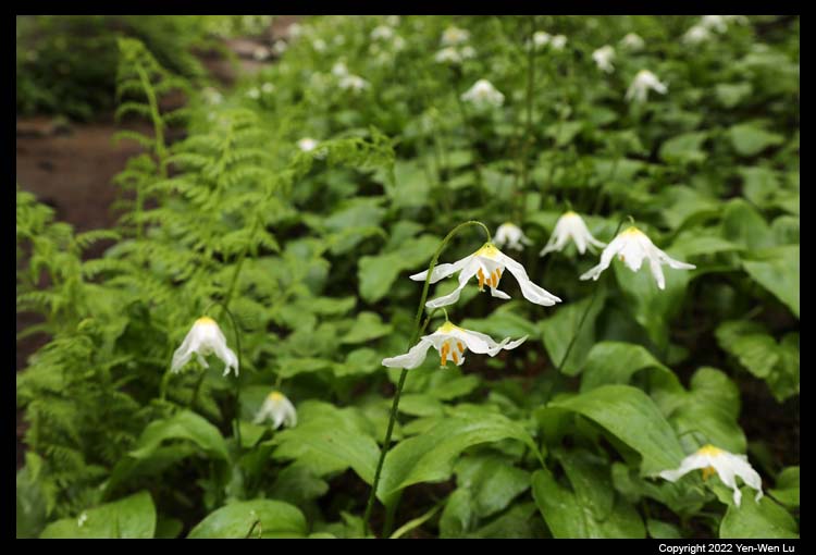
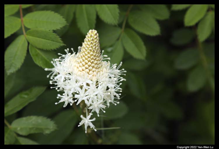
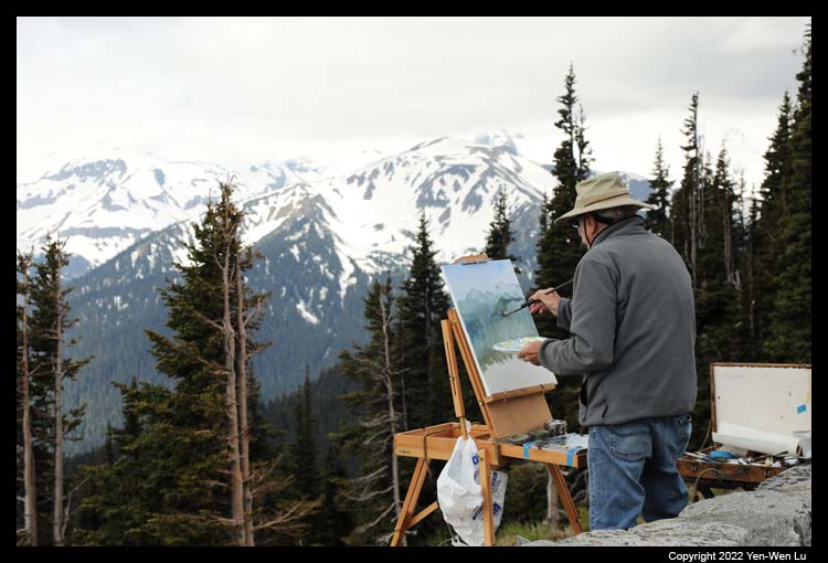
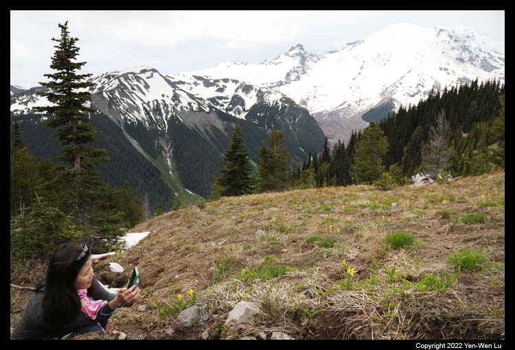
summer, subalpine wildflower meadows ring the icy volcano and they become the
paradise for hikers and nature lovers.
7/4 (Day 4) ...
We continued our trip from Seattle.
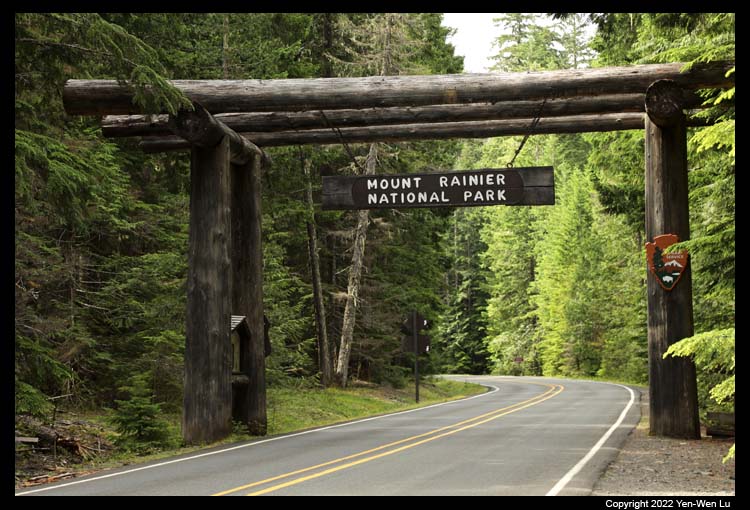
Since it was the 4th of July holiday, we started early to go to Sea-Tac Airport
to pick up our rental car, and had a smooth 2-hour drive to Longmire, Mount Rainier.
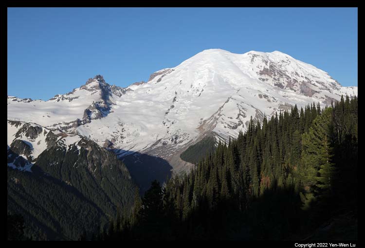
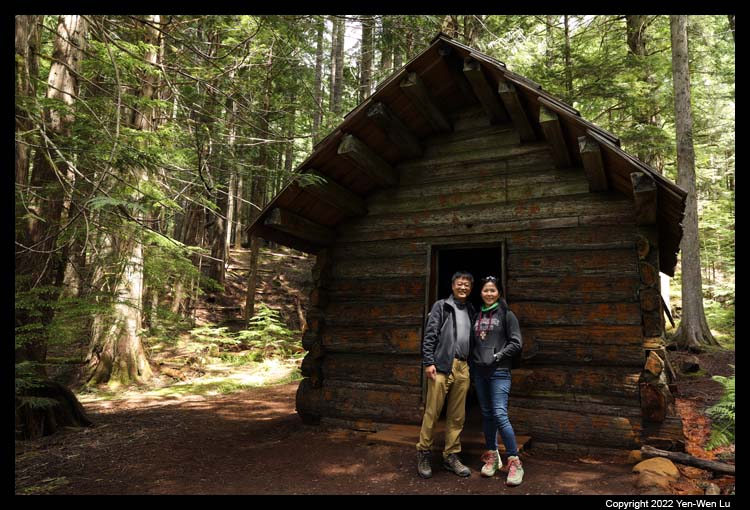
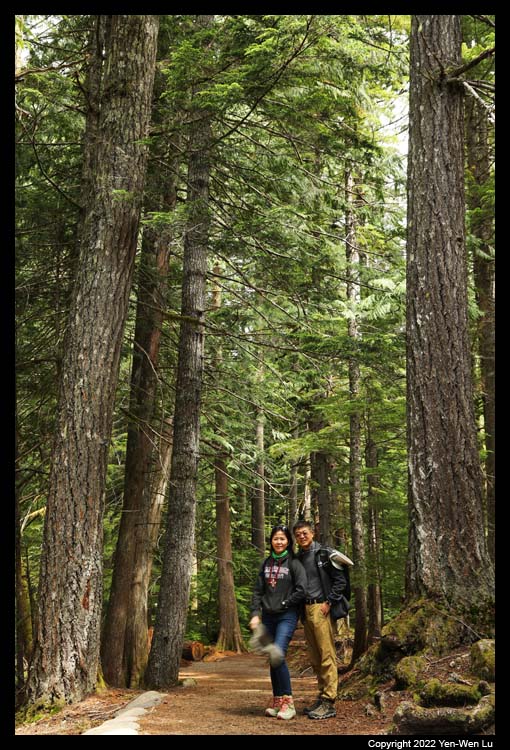
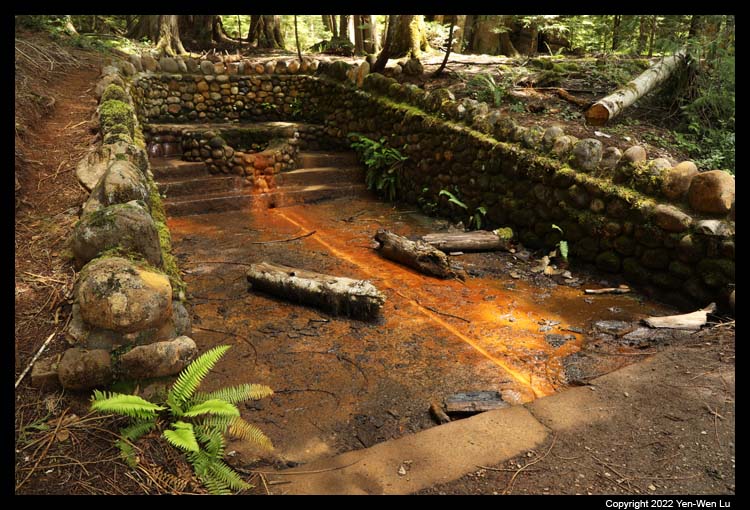
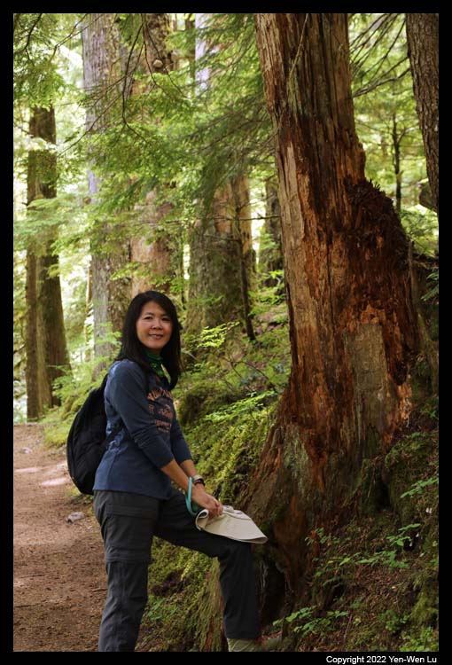
- Trail of the Shadows, Longmire
After a quick lunch (sandwiches & chips) at the patio of the National Park
Inn in Longmire (the restaurant was not open for lunch due to short of staff
during pandemic), we started with a simple 0.7-mile hike, Trail of the
Shadows. It winds through forests and meadows, and has a good glimpse
of Mount Rainier at the west end of the meadow.
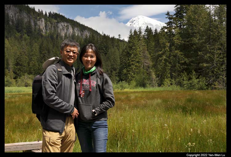
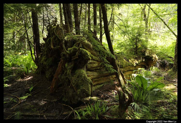
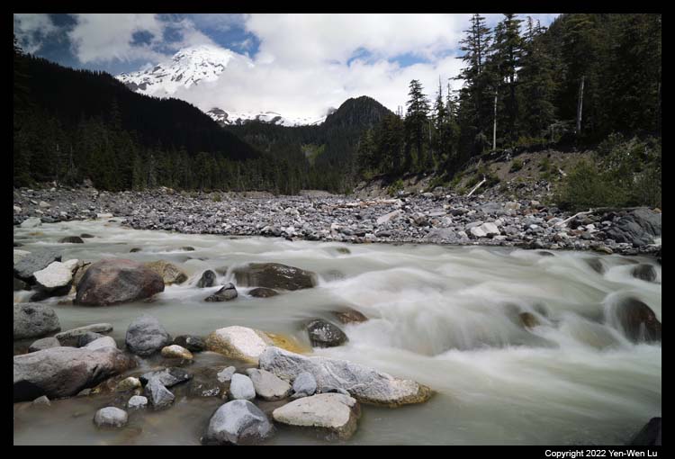
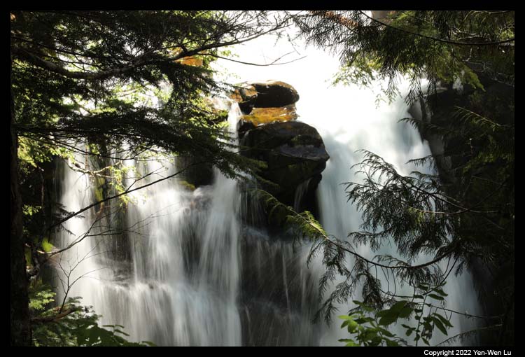
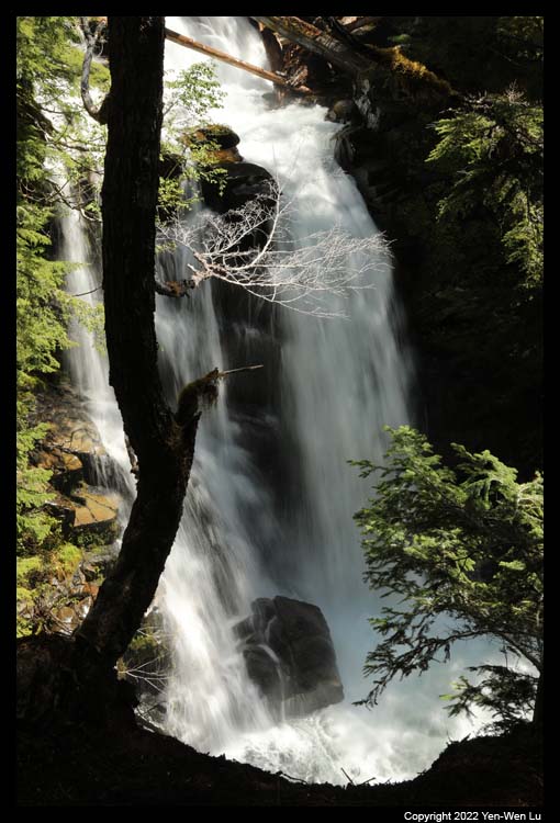
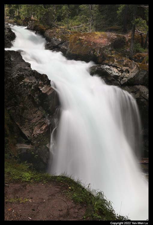
- Carter Falls and Madcap Falls
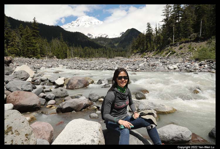
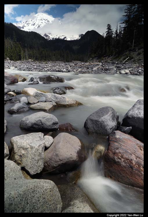
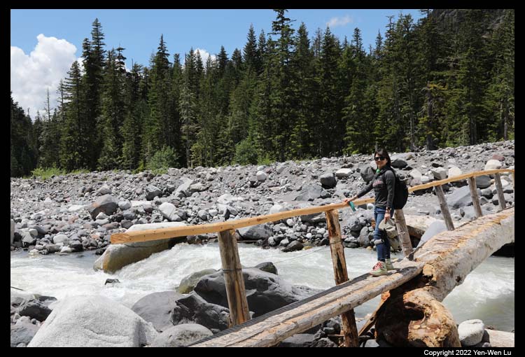
The trail to the Carter Falls and
Madcap Falls is part of the Wonderland Trail (a 93-mile trail encircling the
Mount Rainier) starting from the Cougar Rock campground. It is an easy
2.5-mile round-trip hike and starts with
Nisqually River crossing on a
log bridge.
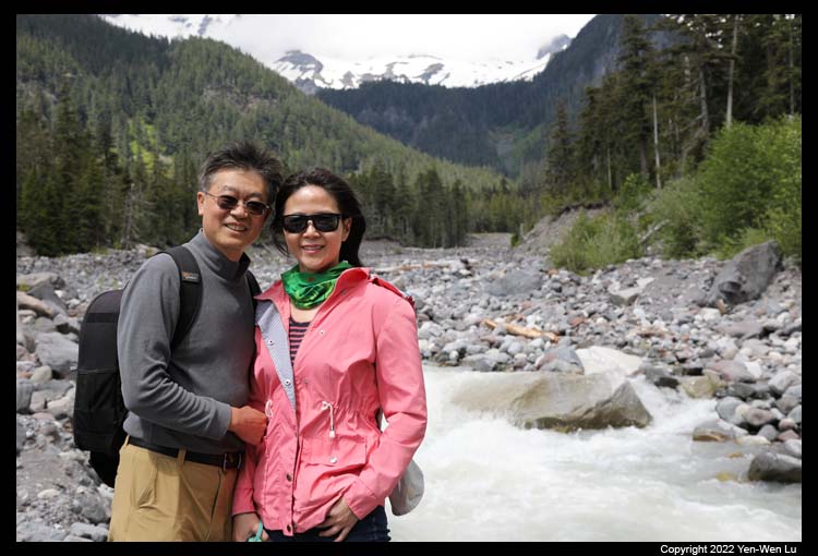
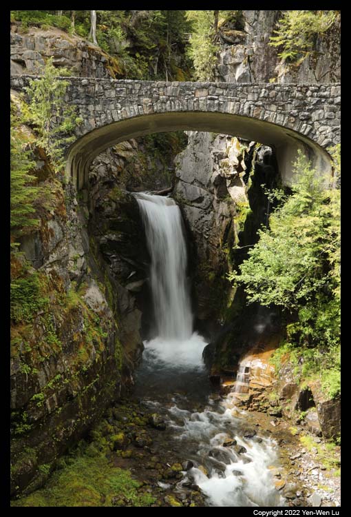
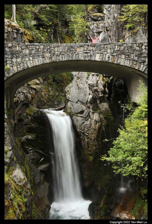
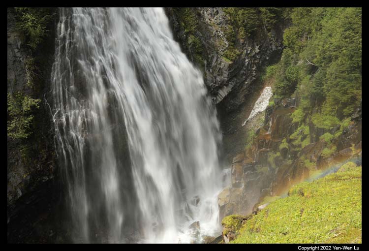
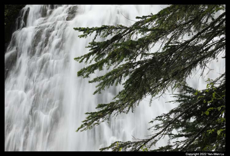
- Christine Falls & Narada Falls
On the way to the Paradise region
(where we will stay for 3 nights), we stopped by another two popular
waterfalls, Christine Falls & Narada Falls. Both are just right on the
roadside with a short walk to their viewpoints.
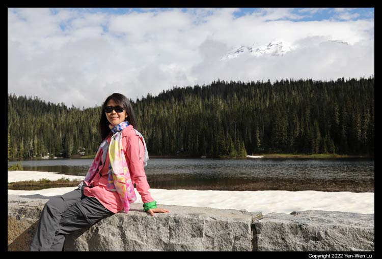
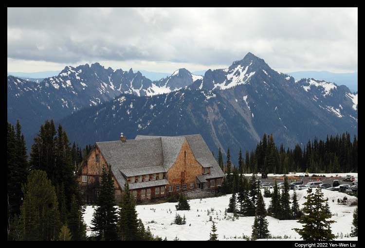
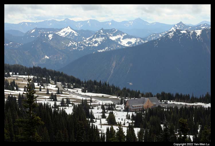
We had an early dinner at 4:30PM at the Paradise Inn because our
room was not ready yet. It was perfectly fine for us
since we did not have a dinner reservation originally and we did not have a full
lunch when we entered the park.
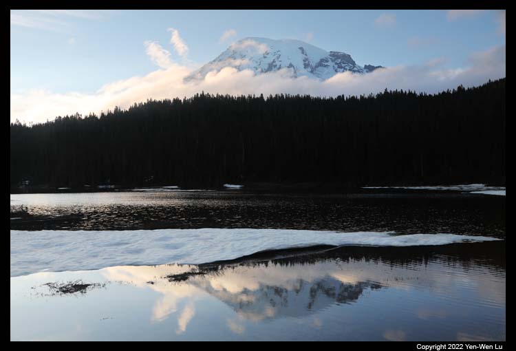
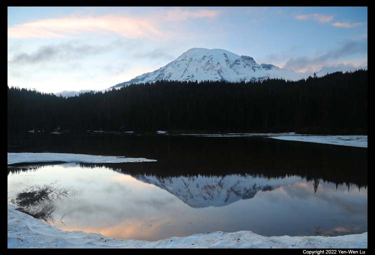
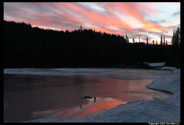
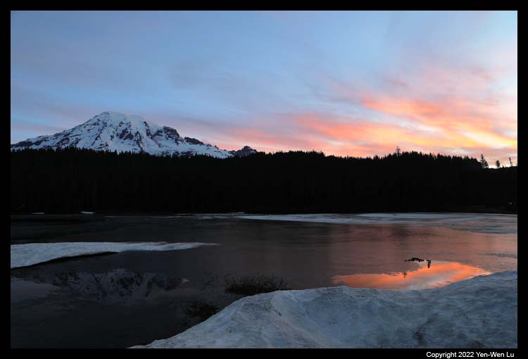
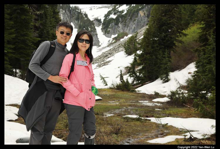
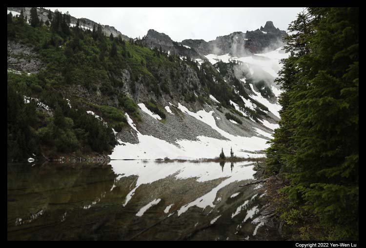
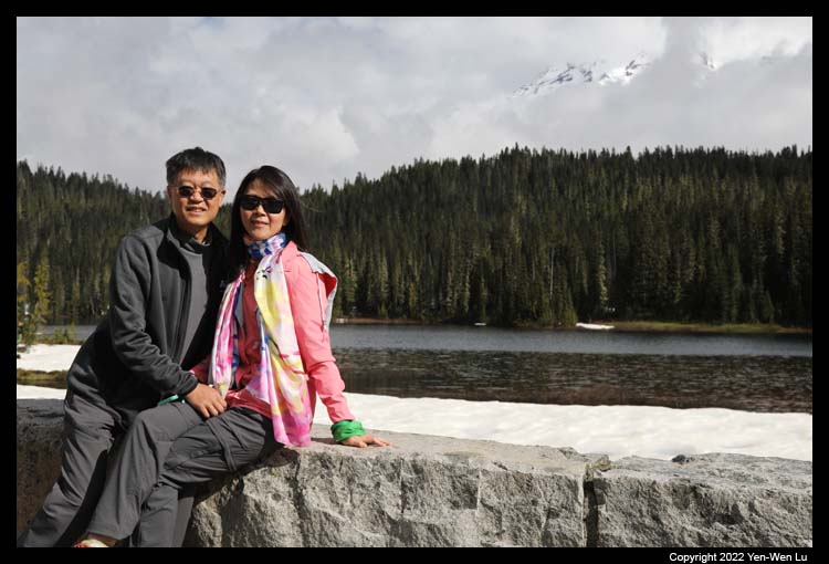
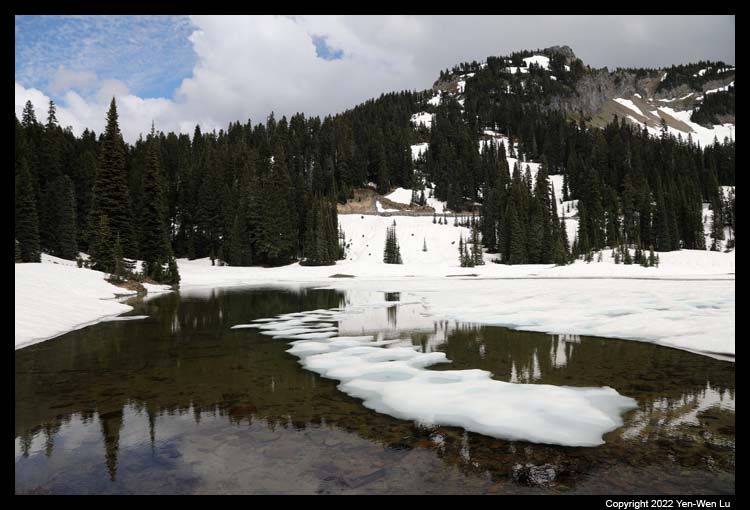
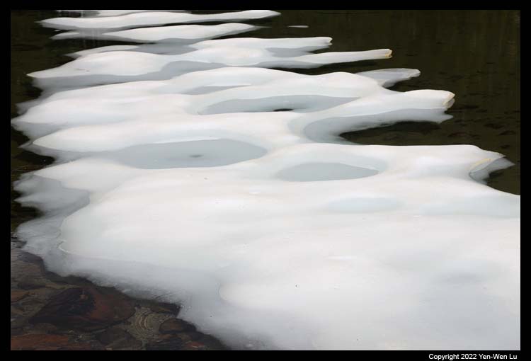
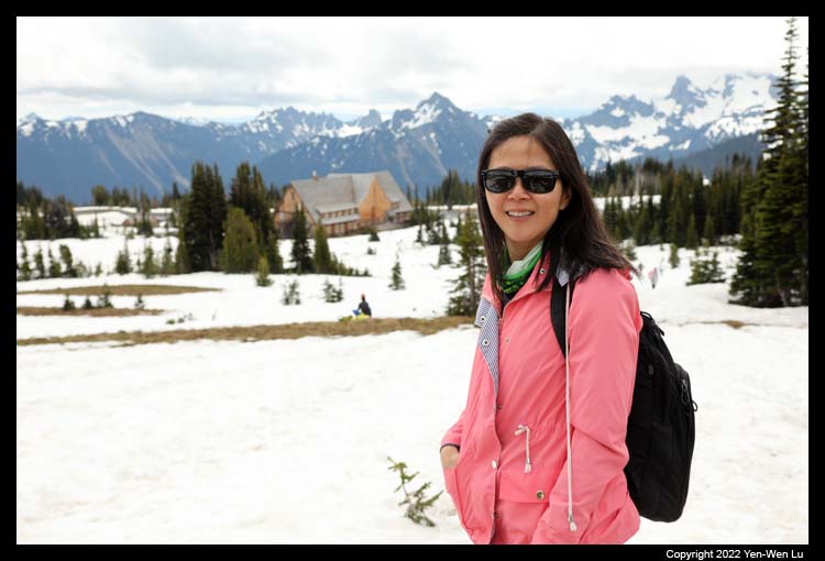
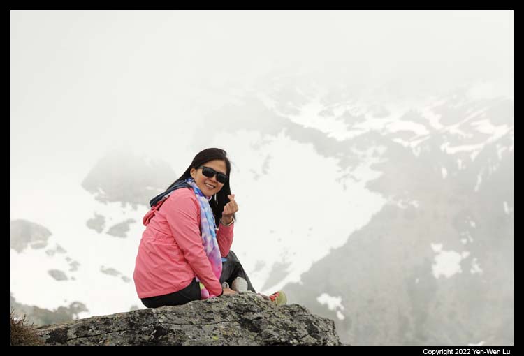
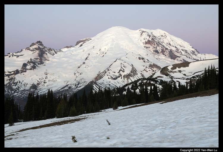
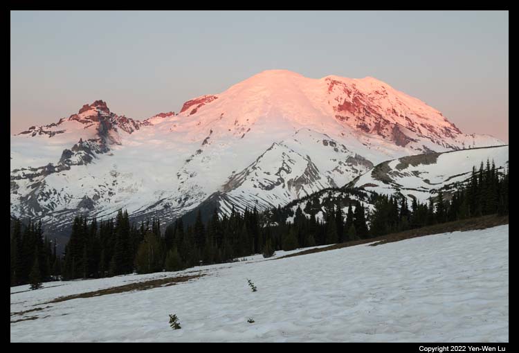
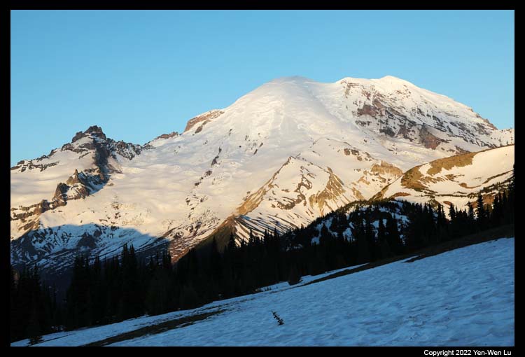
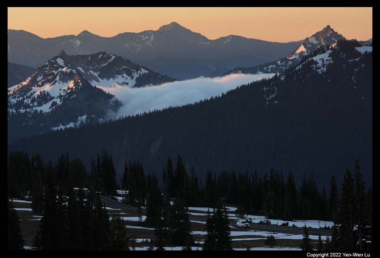
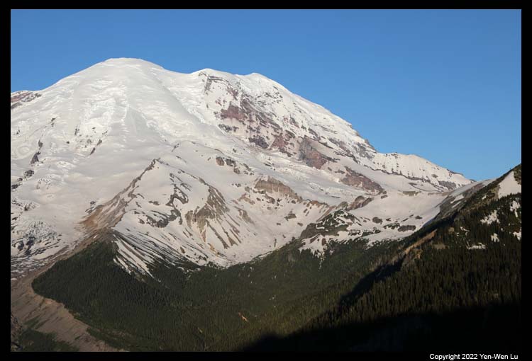
- Reflection Lake
After a short break in our room, we headed to
the Reflection Lake to capture the sunset reflection of Mount Rainier.
7/5 (Day 5) ...
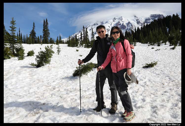
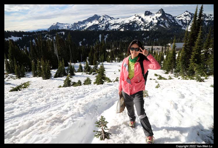
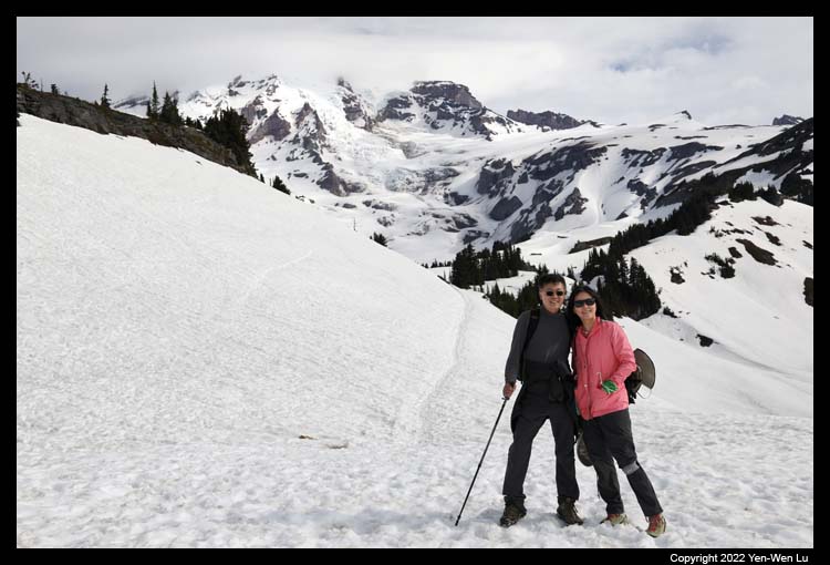
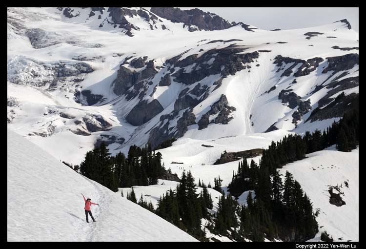
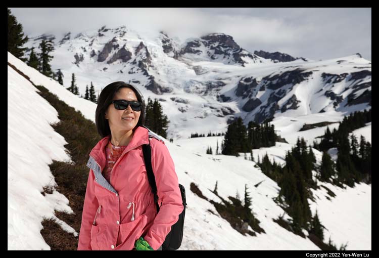
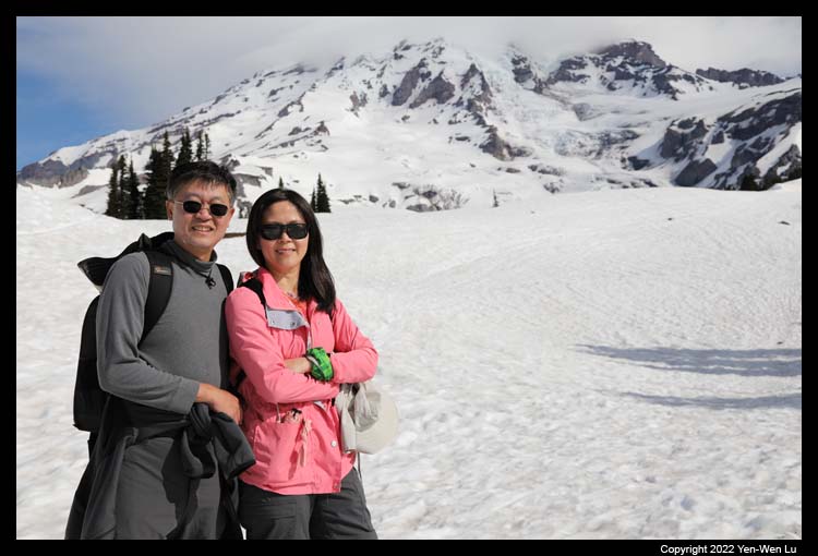
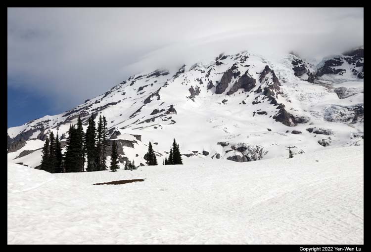
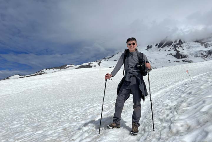
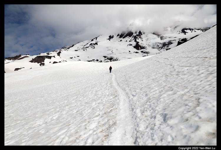
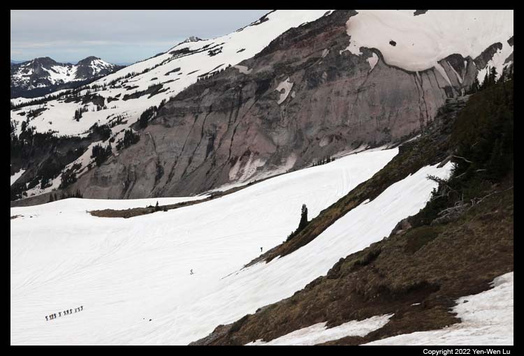
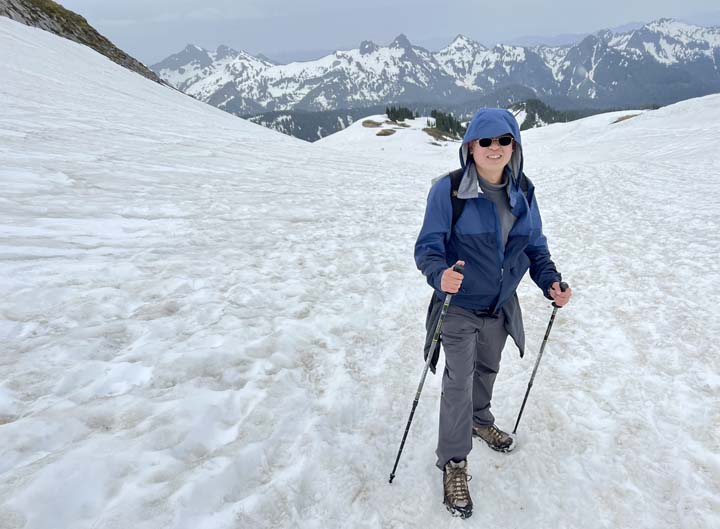
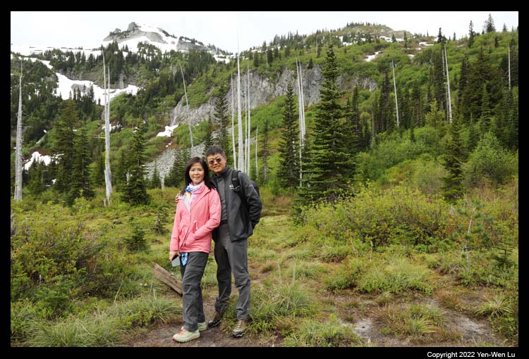
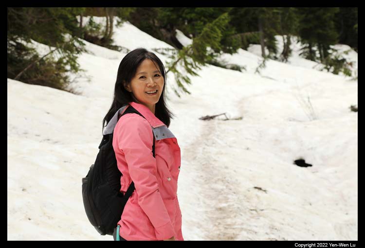
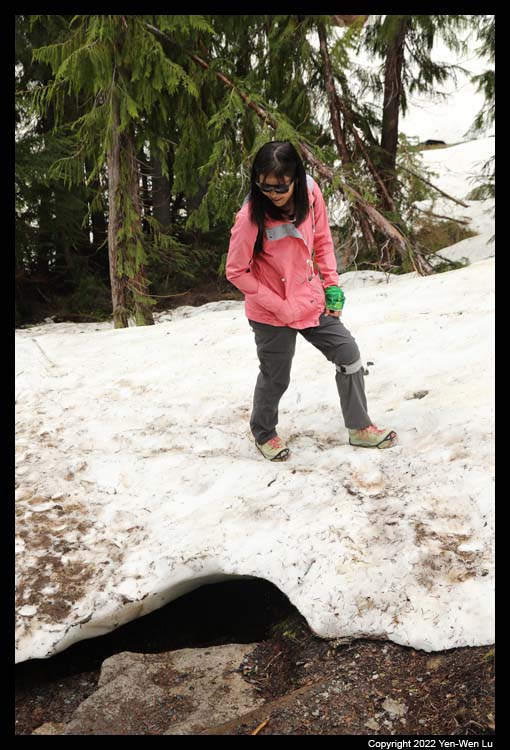
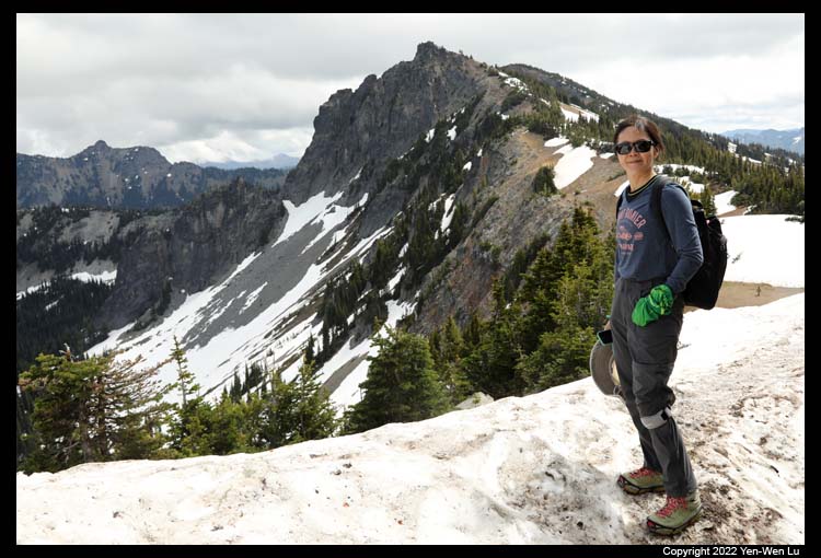
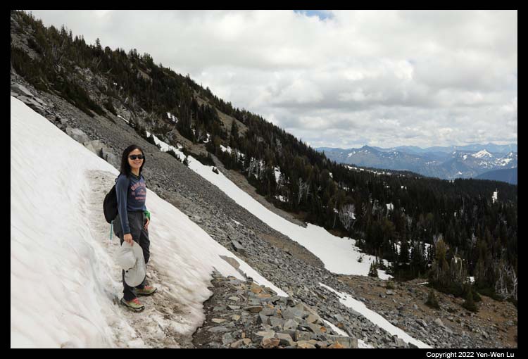
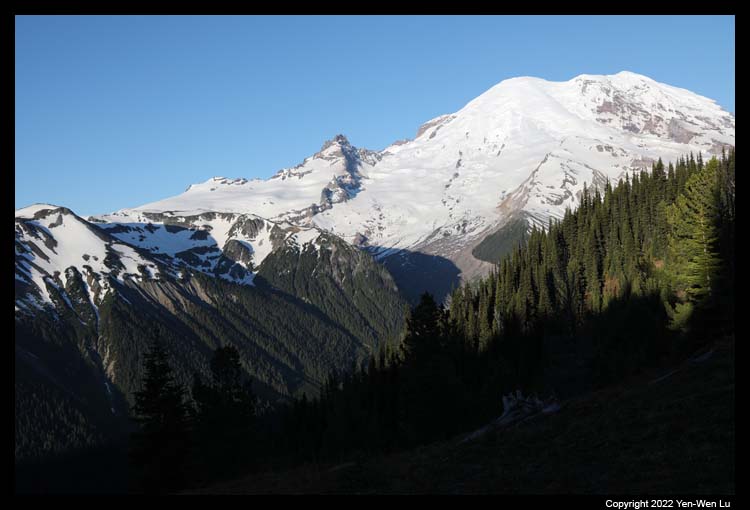
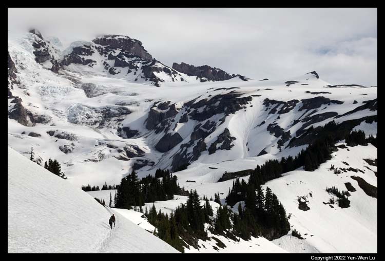
- Skyline Trail to Panorama Point
The Skyline Trail is one of the most
popular trails in the Paradise area which climbs 2 miles and 1,300 ft to the
Panorama Point. The trail was still 100% covered by snow and still
looked like a winter wonderland. We have prepared to take the "Yaktrax"
with us to improve the traction on the snow/ice trail conditions. We
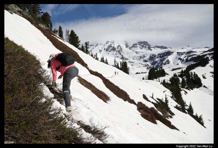
went up on the Skyline Trail, but we actually took a turn to the Alta Vista Trail which is
in general parallel to the Skyline but
on a slope to the east before
merging back to the Skyline Trail It provided some different views from
the main Skyline Trail, but it was quite slippery for a few sections where
ground plants covered the trail (I lost my footing at one place, and Woanyu
had to come back to rescue me...).
After the trail merged back to the main Skyline trail, it
became much wider and easier until the last rocky section with steeper climb to
the Panorama Point.
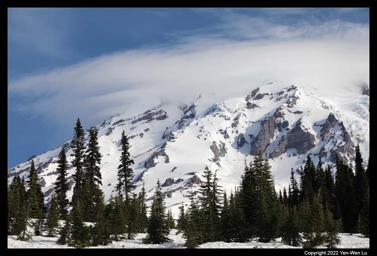
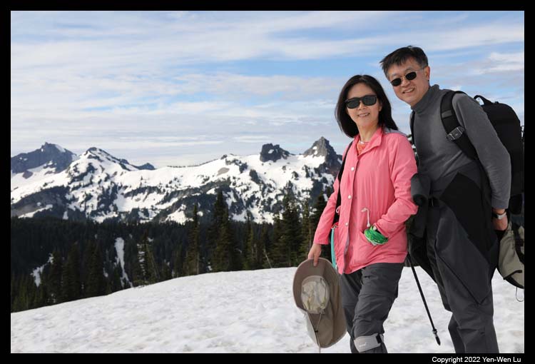
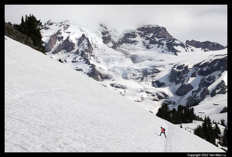
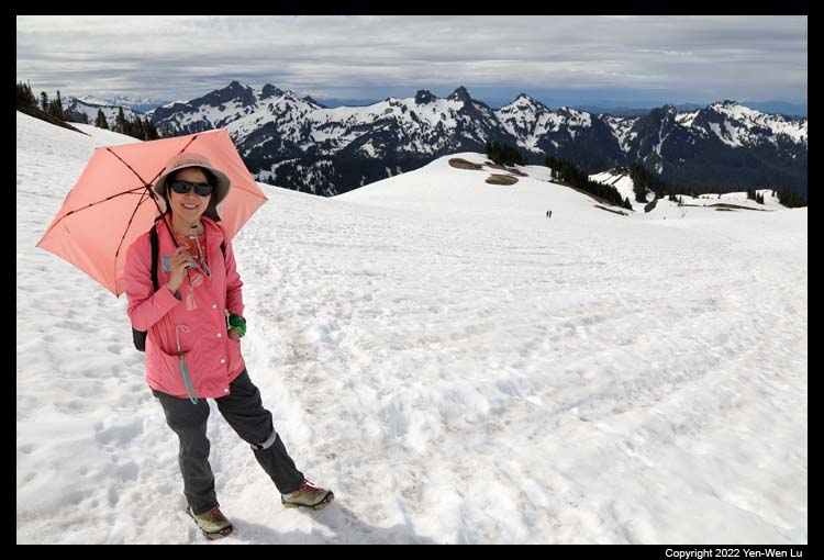
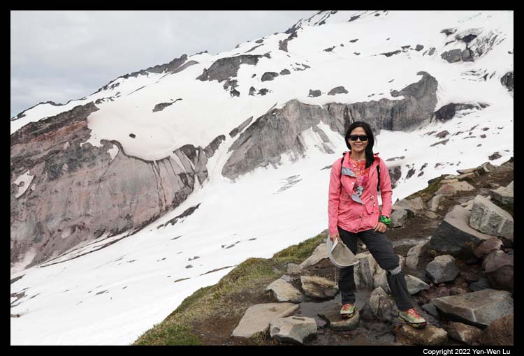
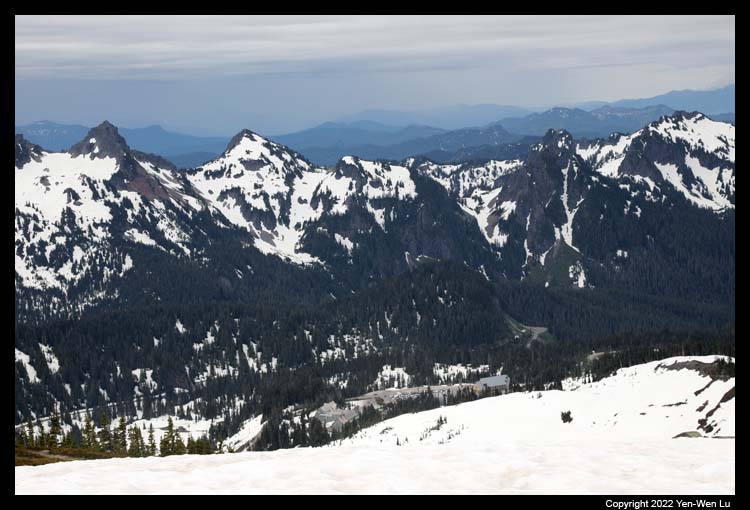
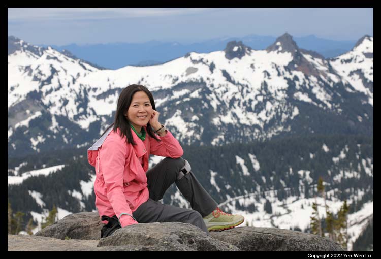
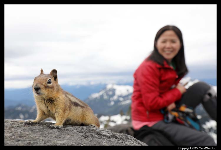
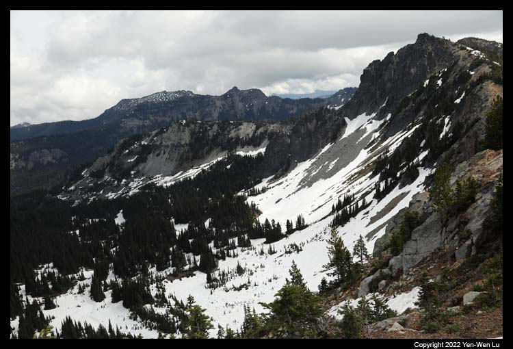
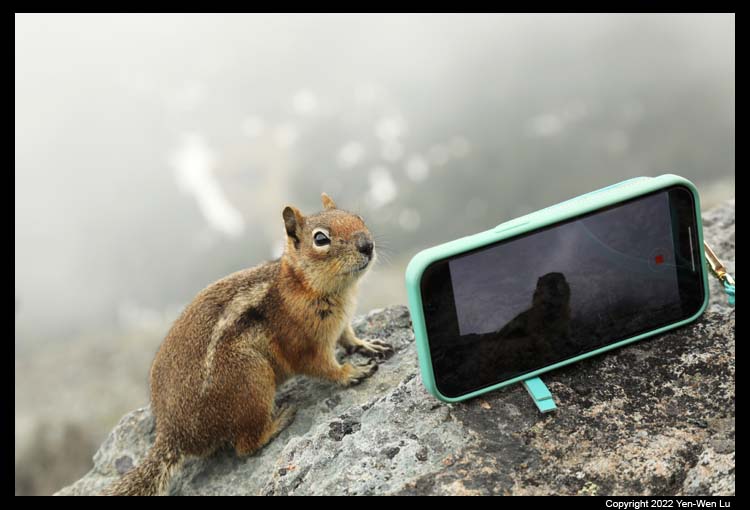
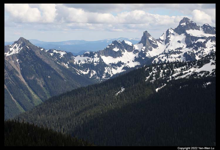
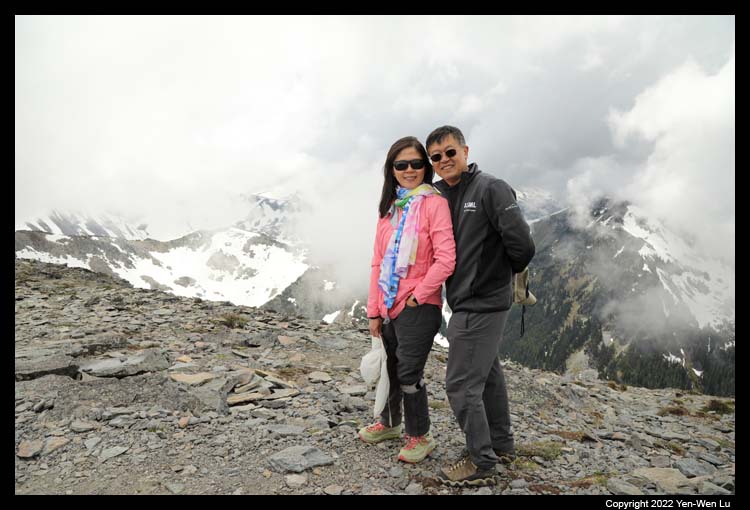
- Panorama Point
At the elevation of about 6.750 ft, Panorama
Point provides stunning views of the Paradise valley, Mount St. Helens,
Mount Adams and even Mount Hood on a clear day. We had a nice snack lunch
break with a good company of a few
chipmunks (or ground
squirrels).
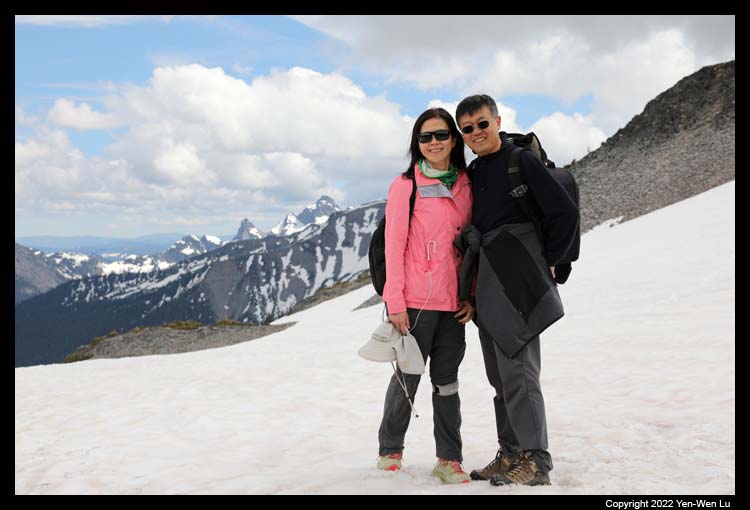
The weather has changed from sunny to partially cloudy
and to completely cloudy. It's time to head back down before the weather
was getting worse. The Skyline Trail is supposed to be a loop, but its
eastern end was very difficult to follow and traverse under this snow covered
condition, so we decided to go down from the same Skyline route. It
started to drizzle and rain when we were getting closer to the Paradise parking
lot, and I had to put away my camera to focus on our descent on the snowy trail.
7/6 (Day 6) ...
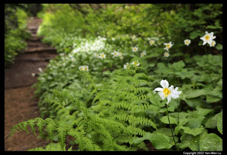
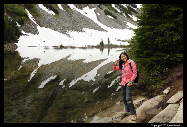
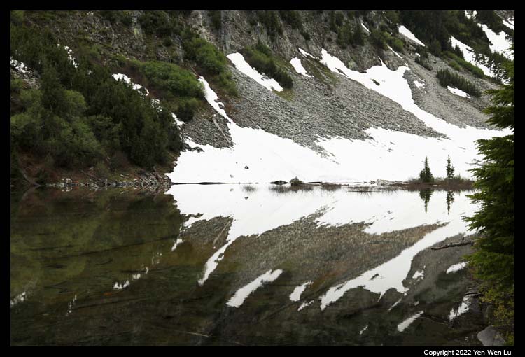
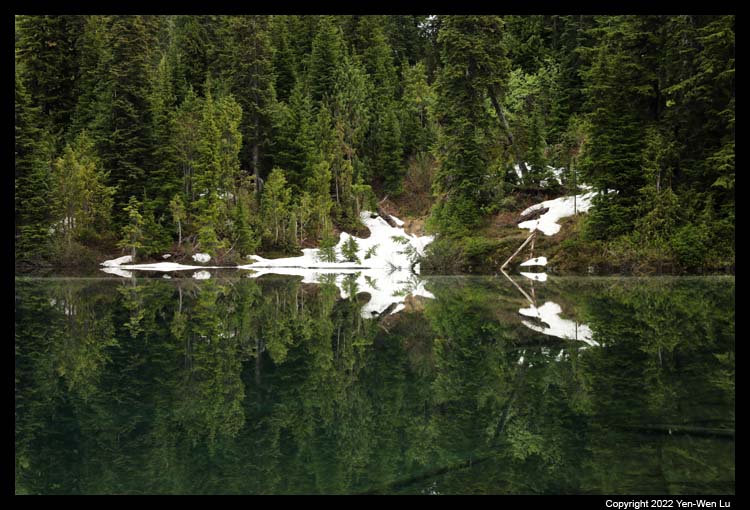
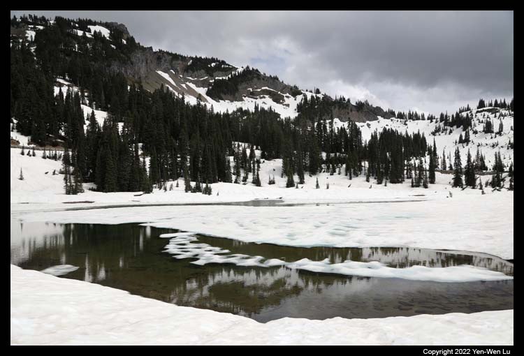
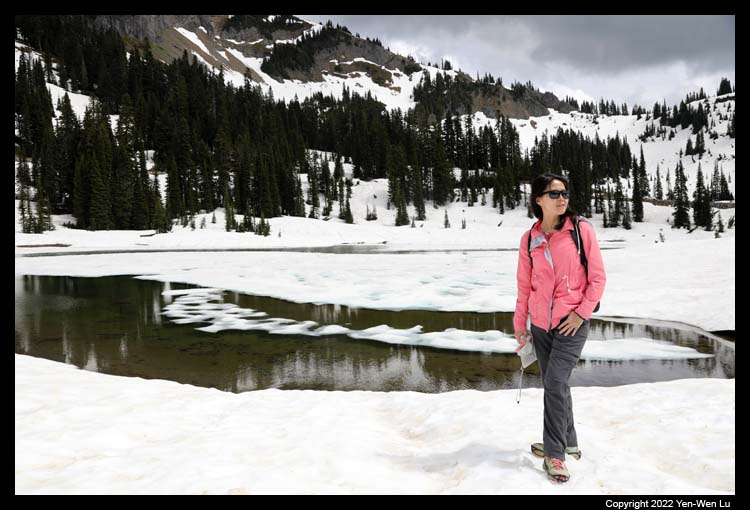
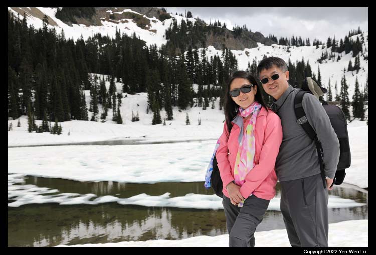
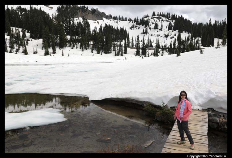
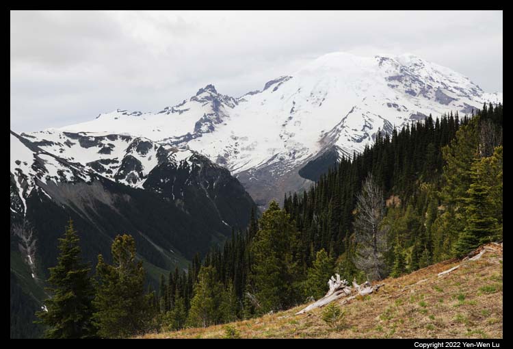
- Bench and Snow Lake
The weather today was still not very good:
totally cloudy without any sight of Mount Rainier. We decided to take
a shorter trail (2.2-mile round-trip) to the Bench and Snow Lake. The trail was full of wildflowers and free of snow until the
last quarter mile before reaching the Snow Lake. Although it was
cloudy, the reflection in the Snow Lake was so perfect and amazing.
Like yesterday, it started to rain when we were half way back on the trail,
and we rushed back to the car before it was getting too wet.
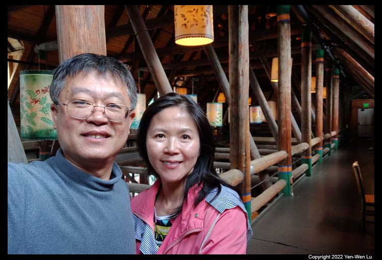
- Paradise Inn
We went back to Paradise Visitor Center and bought
some sandwiches, salads, coffee, and beer, and went to the Paradise Inn to
have a relaxed lunch (it's surprisingly quiet on the
2nd floor above the lobby).
We decided to go back to our room to take a break from the rainy day, and
enjoyed the good 5G signal at the Paradise :-)
7/7 (Day 7) ...
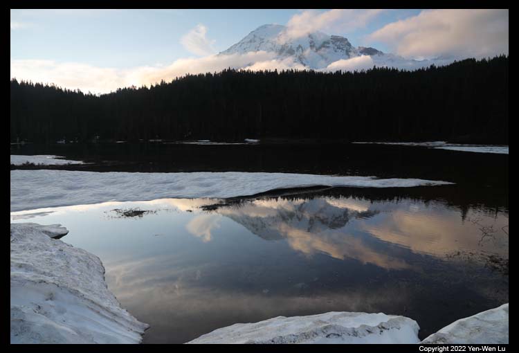
- Reflection Lake
Before we left the Paradise area, we went back to the
Reflection Lake and see if we were lucky enough to see the Mount Rainier.
I think our luck last less than 3 minutes...
- We were moving to the eastern side of the park (Sunrise area) for the next
2 days. Since the Stevens Canyon Road was closed for construction
after the trailhead to the Bench and Snow Lake, we
had to drive back to Longmire and go through NF-52 to Packwood (where we
had a nice burger lunch), and turned to US-12 and WA-123 to enter the park
again from the Stevens Canyon Entrance. A 40-minute route (if the
Stevens Canyon Road was open) became a 2.5-hour detour!
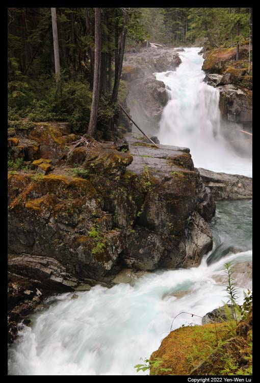
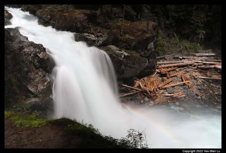
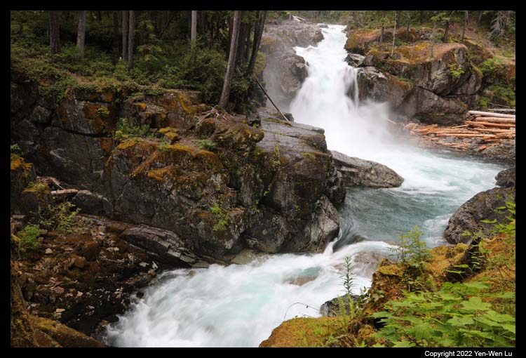
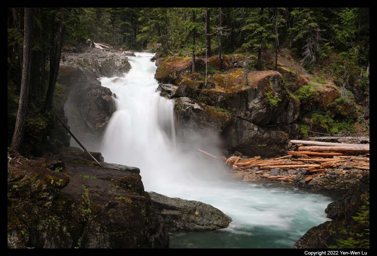
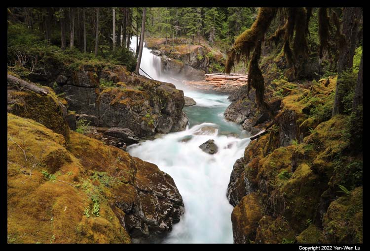
- Silver Falls
After entered the park, we parked at the Grove of the
Patriarchs (unfortunately the trail to the grove was closed due to the flood
damage in Nov 2021) to take the trail to the Silver Falls.
- Tipsoo Lake & Chinook Pass
Tipsoo Lake is a popular summer
destination on the eastern edge of Mount Rainier National Park. Located at
Chinook Pass along State Route 410, this subalpine lake is set in a
glacier-carved basin and surrounded by subalpine wildflower meadows in
summer. It is also often cited as one of the best places to photograph
Mount Rainier (for sunrise or sunset). However, the region was still
all covered by snow and Mount Rainier was still not visible at all.
I booked a vacation home managed by
Alta Crystal Resort (the resort
is just
outside the Sunrise entrance). It turned out the vacation home is actually
located in Greenwater, an additional 15-min drive on WA-410. Although it was
a little farther away, we had a full kitchen, 2 bedrooms, and washer/dryer for
laundry.
7/8 (Day 8) ...
- Sunrise
At an elevation of 6,400 feet, Sunrise is the highest
point that can be reached by vehicle at Mount Rainier National Park. In
summer, mountain meadows abound with wildflowers. On clear summer days,
Sunrise provides breathtaking views of Mount Rainier and Emmons Glacier.
Sunrise Road was just open last week, and the Sunrise Visitor Center was
just open today for this season.
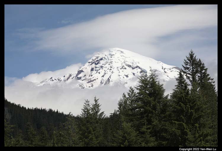
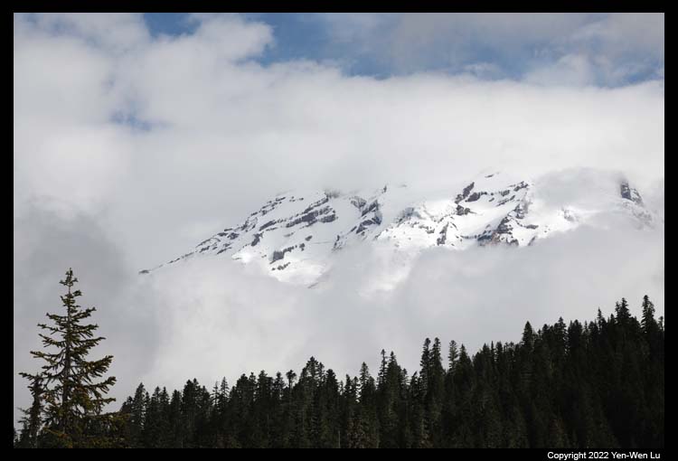
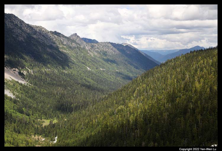
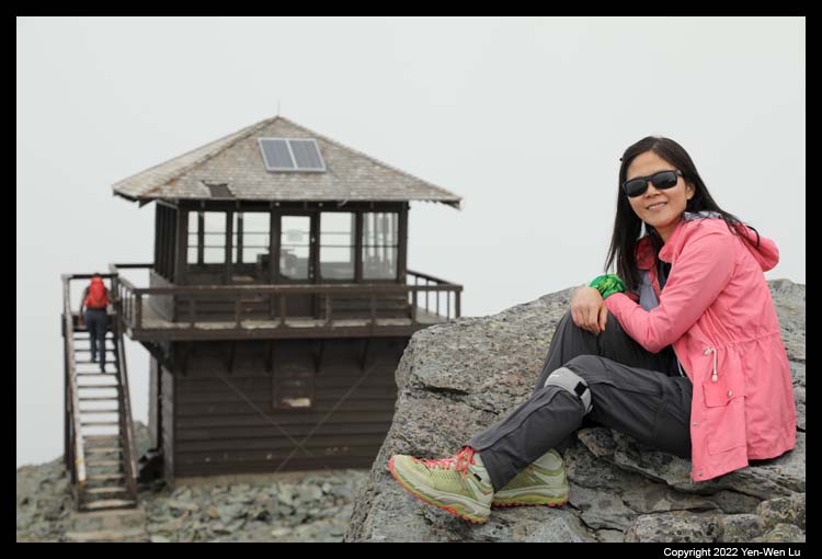
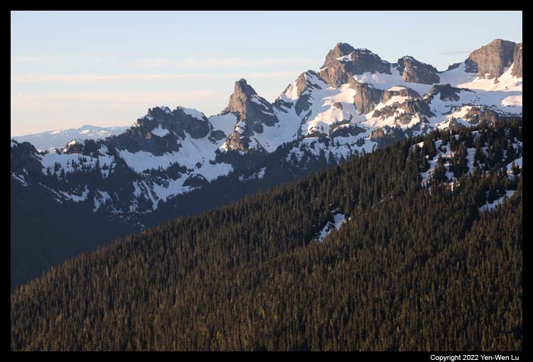
- Mount Fremont Lookout
The trail (5.7-mile round-trip with 1,100 ft
elevation gain) starts at 6,400 feet elevation at Sunrise and climbs
moderately a short distance to the top of Sourdough Ridge. Follow the
Sourdough Ridge trail west to the five-way trail intersection at Frozen
Lake. From there, the trail to Mt. Fremont traverses the west side of a
rocky ridge for another 1.3 miles to a fire lookout built in the 1930s.
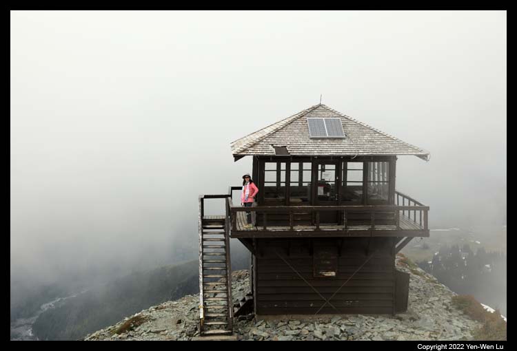
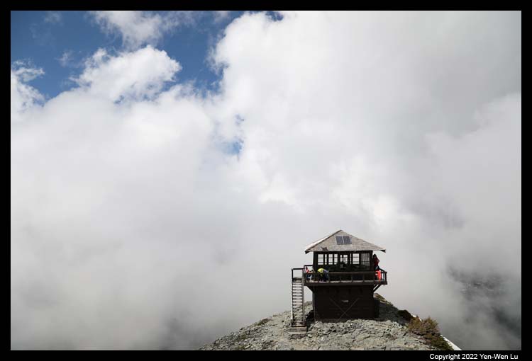
Although it was very cloudy most of the time, the views of surrounding
mountains and valley were still incredible (still no sight of Mount
Rainier...).
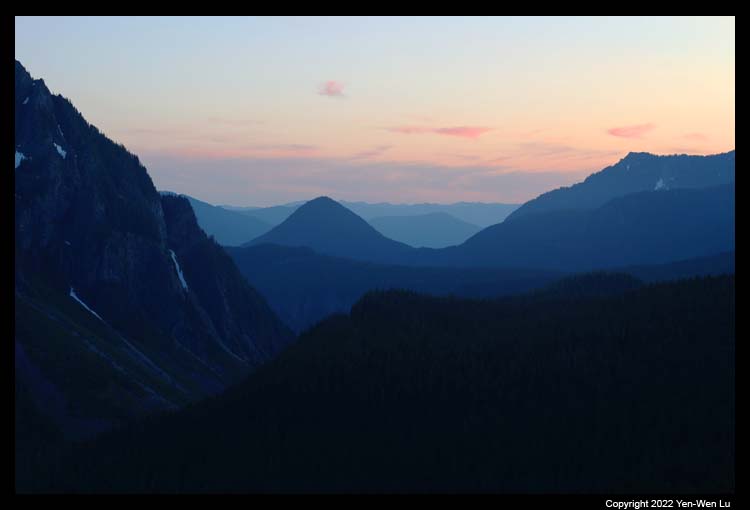
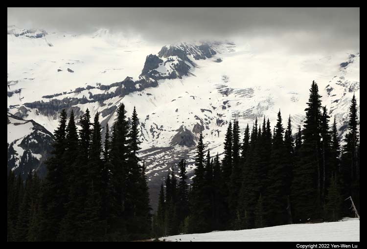
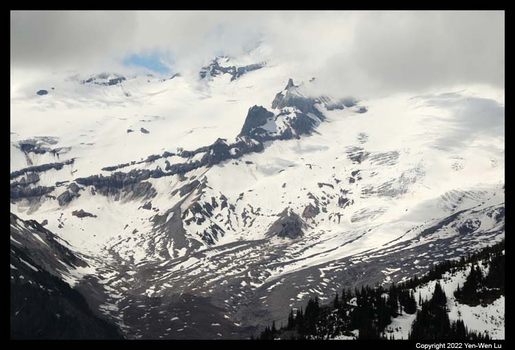
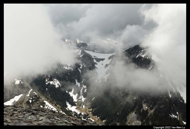
When we got to the fire lookout, we could see the cloud
move in and out very fast. We stayed there for about an hour to check if
we could be lucky enough to see the sky open up for Mount Rainier.
Unfortunately, the best view we could see is like
this photo.
After got back down from Sunrise, we decided to drive
to Enumclaw, a relative bigger town at the north-western corner of Mount
Rainier, to have a nice dinner (pre-celebration for Woanyu's birthday :-)).
7/9 (Day 9) ...
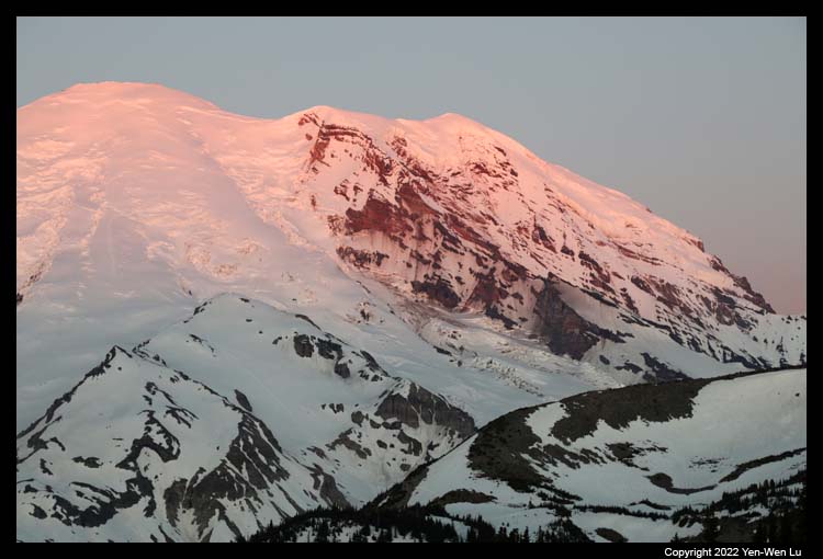
- Sunrise
The weather forecast finally showed a clear morning today.
I woke up early at 4AM and started to drive to Sunrise (~50-min drive)
for sunrise (at ~ 5:20AM). It's a big contrast compared to previous
few days: clear sky without a single cloud in sight. The first
sunray brushed the top of Mount Rainier and warmed up the mountain like a
candle lighted up a dark room.
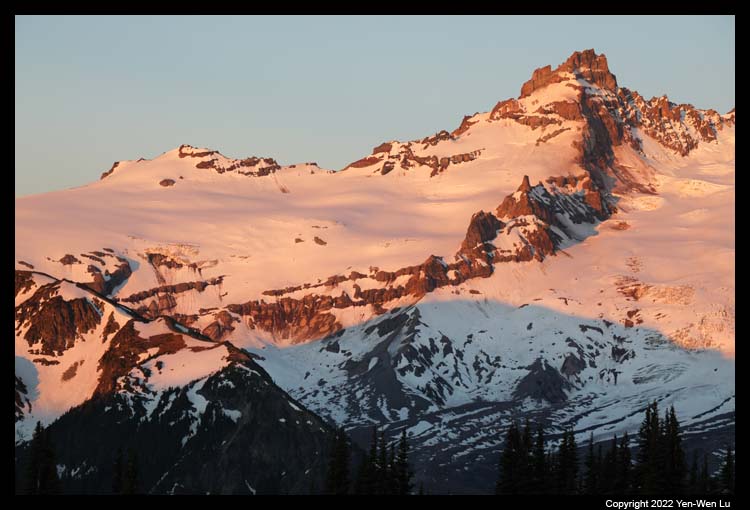
- Silver Forest
After taking a few sunrise photos, I walked to the
Emmons Vista and hiked a small section of the Silver Forest Trail which has a
magnificent view of Mount Rainier and surrounding mountain range and valley.
I went back to our vacation home for breakfast and
started to pack our luggage. We decided to come back to Sunrise and
took the Silver Forest Trail (again for me) as our final visit to Mount Rainier.
Within less than 4 hours, the sky had changed dramatically from totally clear to overcast!
- Drive to Sea-Tac to fly to Anchorage
We stopped by Enumclaw and found
a good enough Chinese restaurant for a quick lunch before heading to the
airport. Although the weather conditions were not always the best, we
had many spectacular views of mountain scenery and a few different hiking
experiences (snow trails in July!). July is probably too early to be
able to fully explore the beauty of Mount Rainier (especially for the
subalpine meadows and wildflowers).
We were now ready for our next
leg of the trip:
Wrangell-St. Elias National Park in Alaska.
[Back to Photo Page]
[Gallery]


