Switzerland (officially the Swiss Confederation) is a landlocked country located
at the intersection of Central, Western, and Southern Europe.
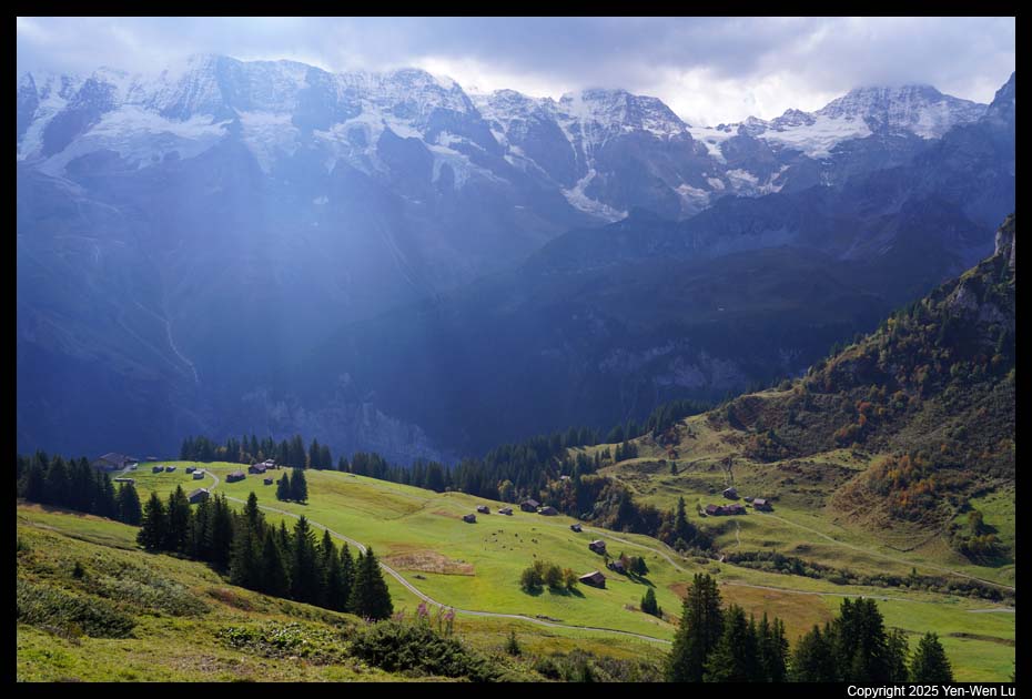
Switzerland is geographically divided among the Swiss Alps, the Swiss Plateau,
and the Jura mountains. While most of the country's 9 million people are
concentrated on the plateau, which hosts many of its largest cities including
Zurich, Geneva, Lausanne, and Lucerne, the Swiss Alps cover the majority
(~60%) of Switzerland's territory. Despite the fact that Switzerland
covers only 14% of the Alps total 192,753 square kilometers (74,422 sq mi) area,
the Swiss Alps comprise almost all the highest mountains of the Alps: 48 out of
82 alpine four-thousanders are located in the Swiss Alps and practically all of
the remaining 34 are within 20 kilometers (12 mi) of the country's border.
Getting there ...
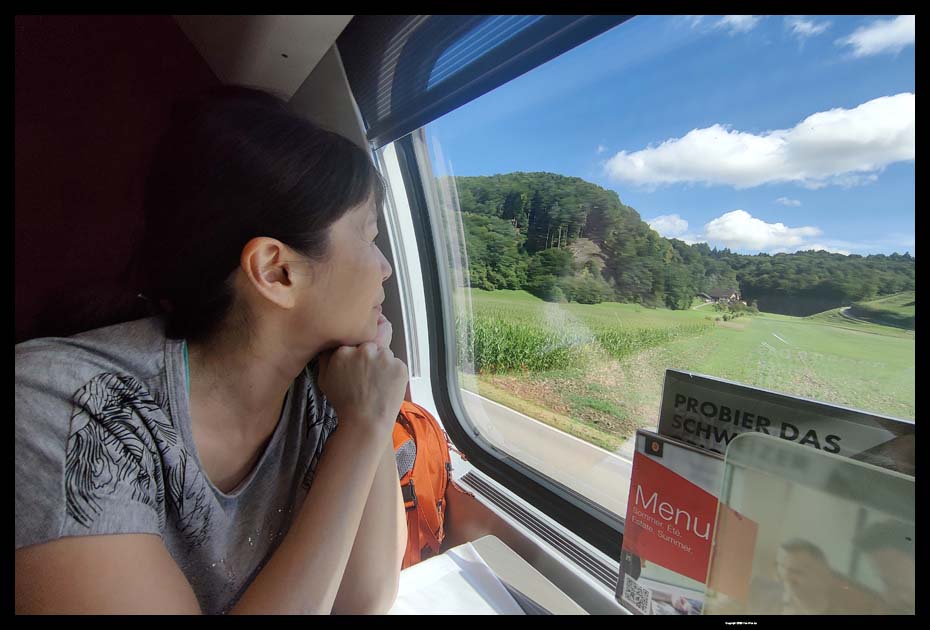
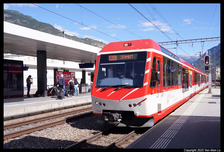
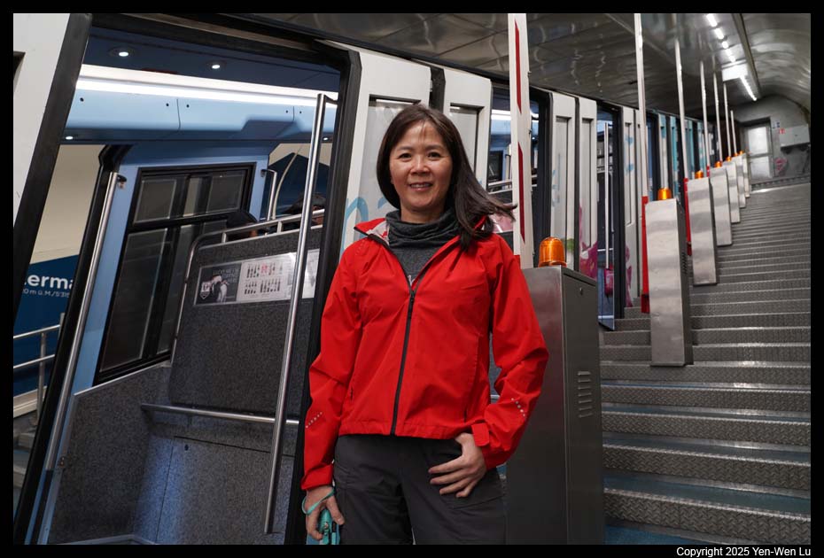
We had an afternoon flight on 9/13 (day 0) from SFO directly to Zurich (ZRH),
Switzerland, and arrived at ZRH at about 10:30AM on 9/14 (day 1). Then it
was a series of train rides (Zurich Flughafen to Zurich HB, Zurich HB to Bern,
Bern to Visp, and finally Visp to Zermatt), and took a little over four hours to
reach our first destination, Zermatt. It may sound complicated with so many
train connections, but the SBB Mobile App really made the train ride an easy and
convenient way to travel in Switzerland. In this Switzerland trip, we will
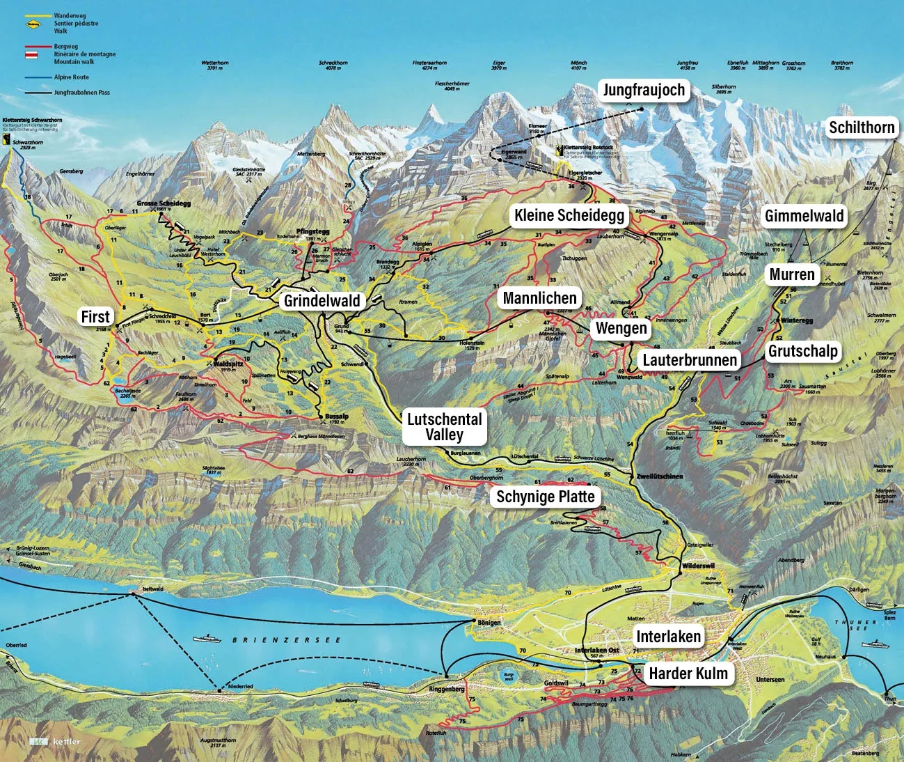
focus on Zermatt and Jungfrau region in Swiss
Alps.
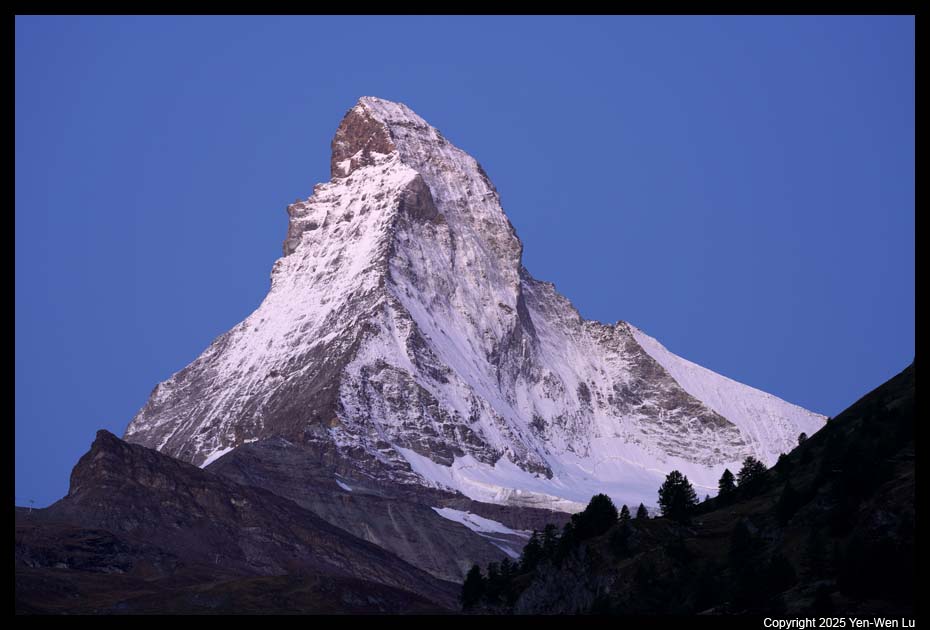
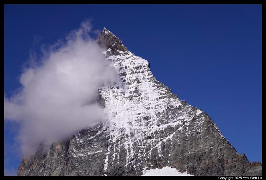
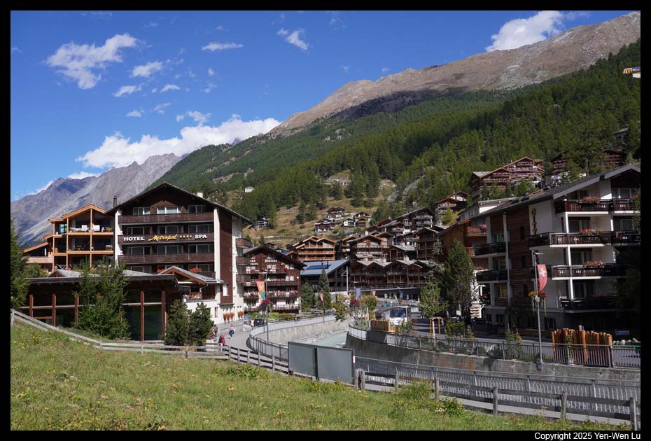
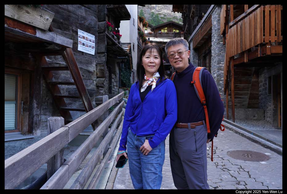
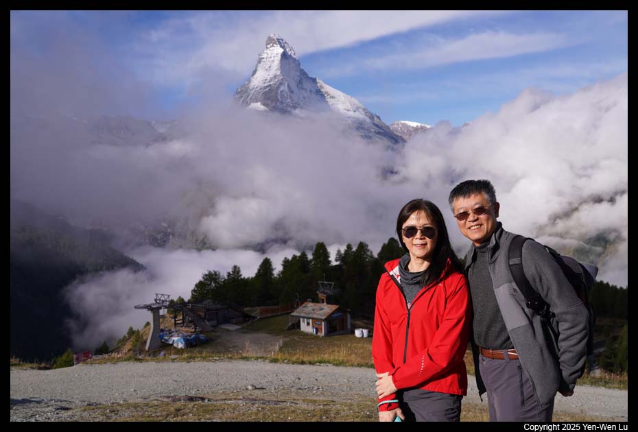
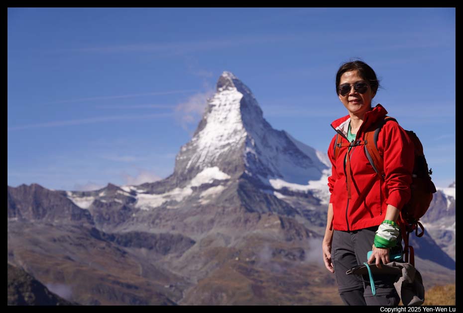
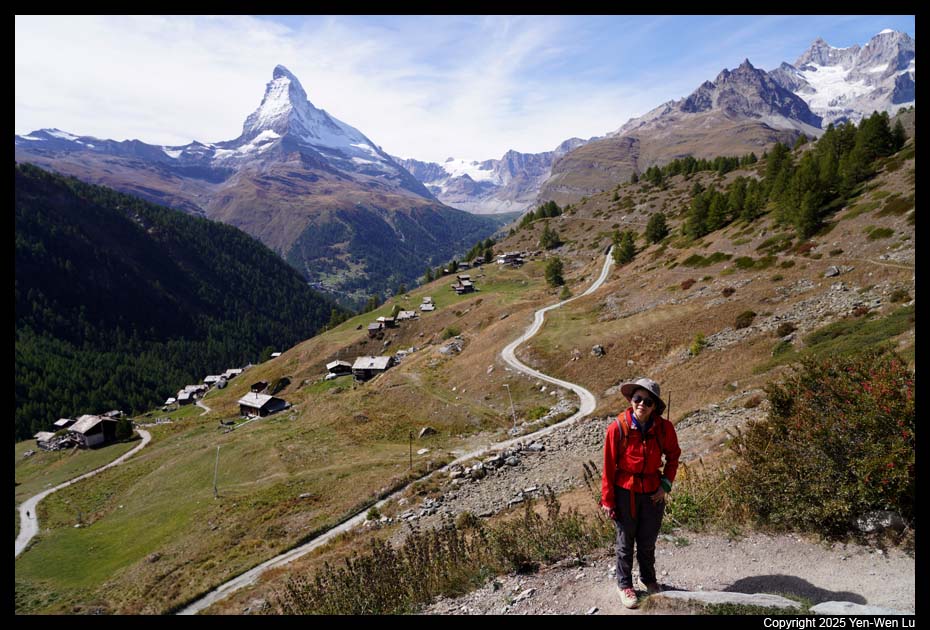
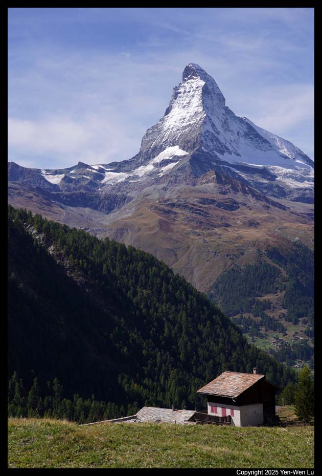
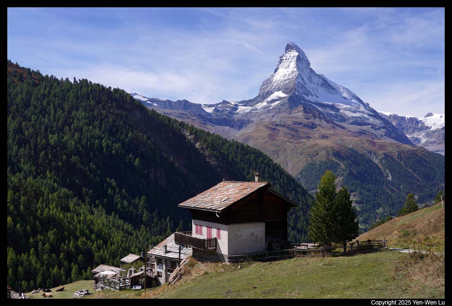
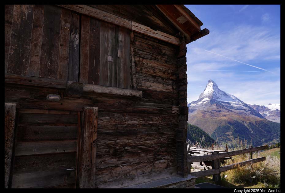
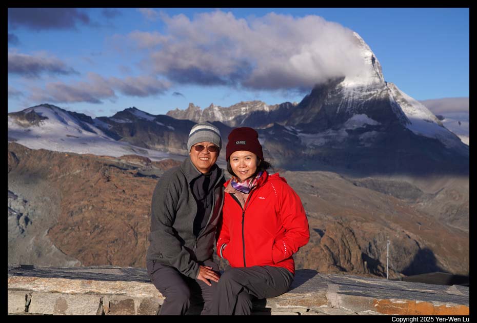
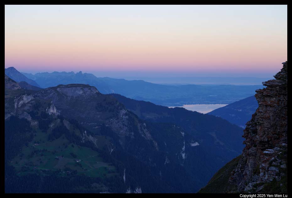
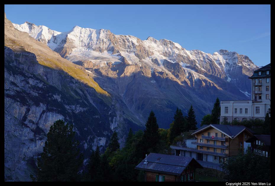
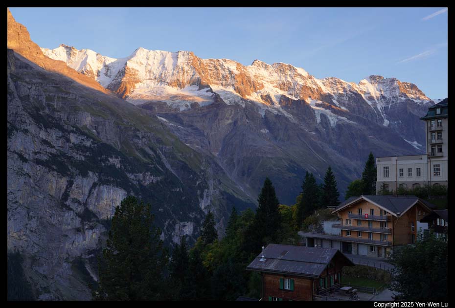
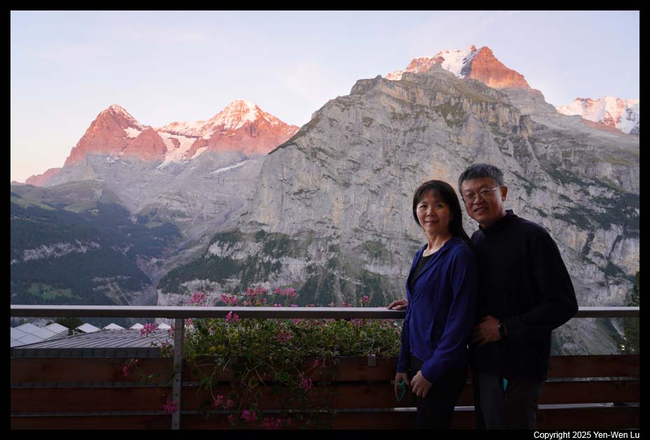
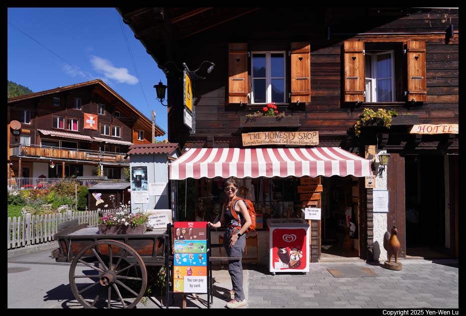
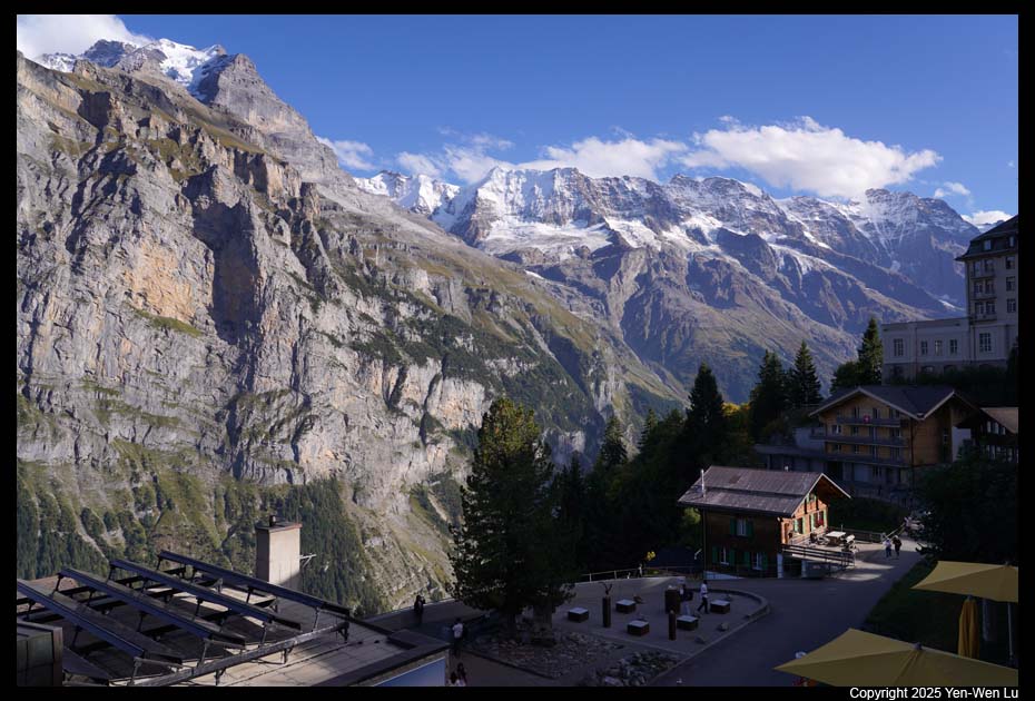
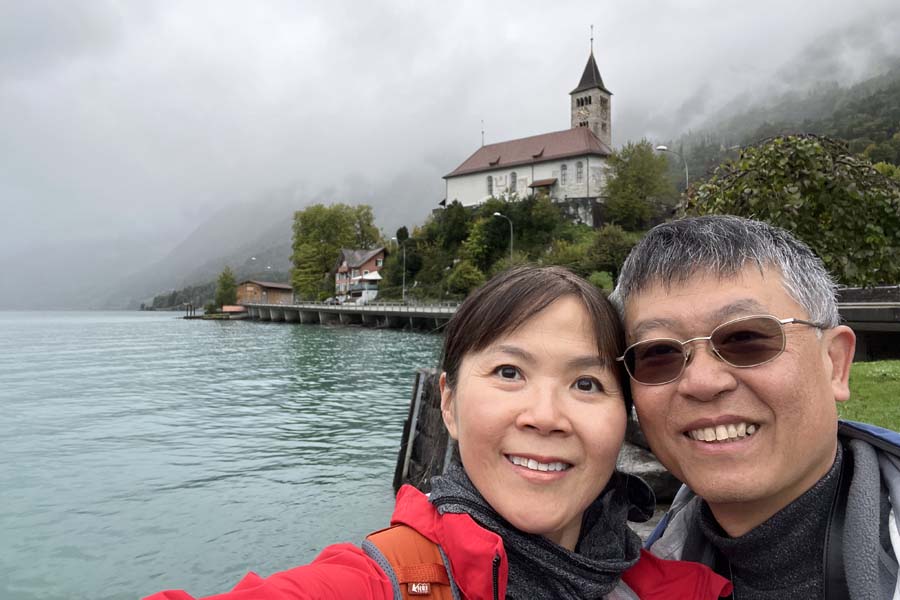
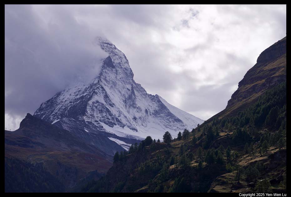
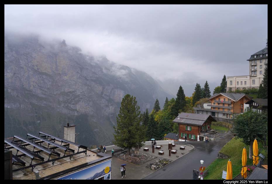
When we checked in our hotel in Zermatt (BEAUSiTE)
in the late afternoon, we had a first glance of
Matterhorn from our
balcony even though it was
surrounded by cloud.
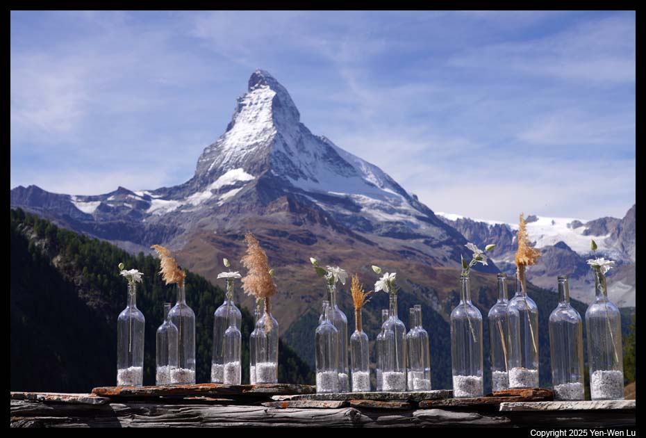
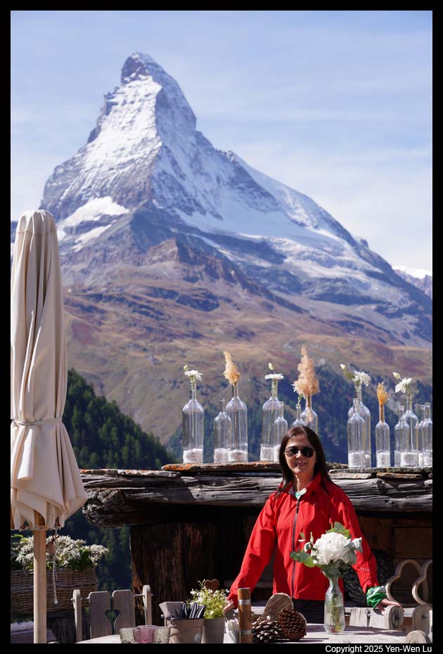
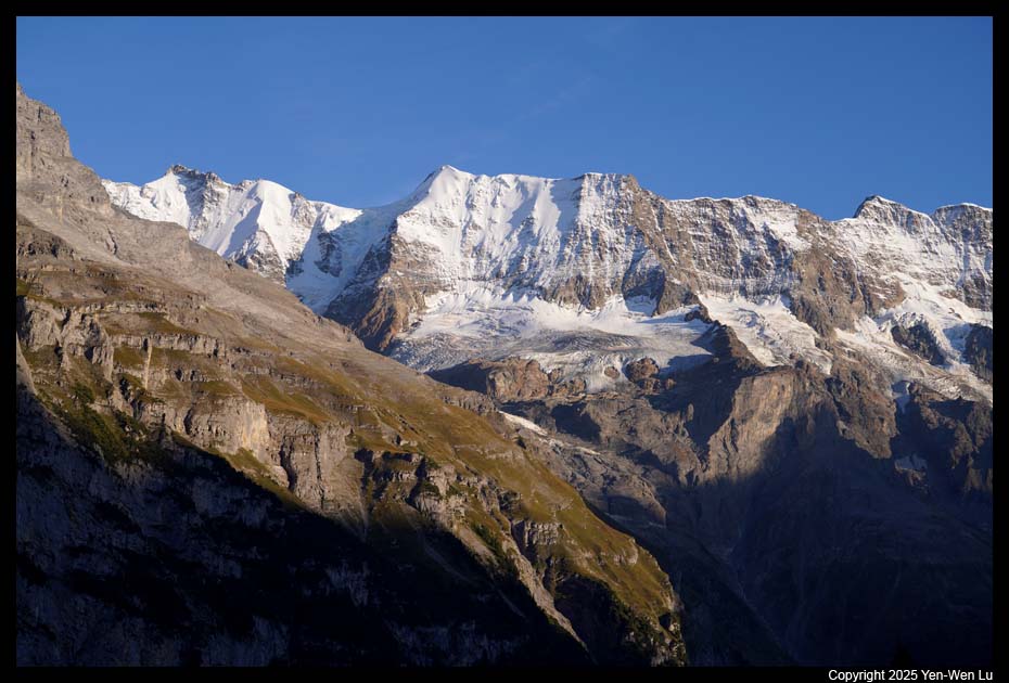
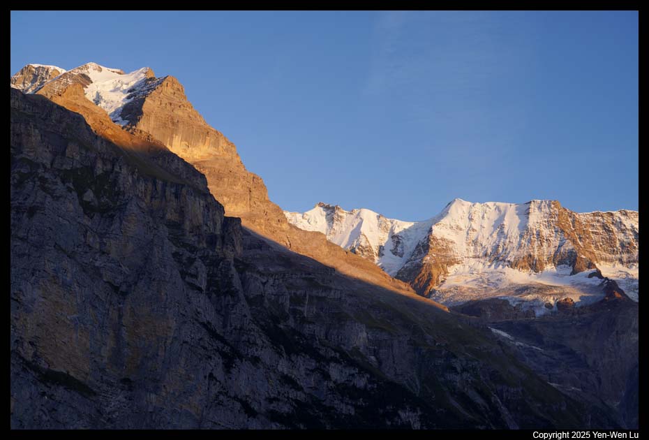
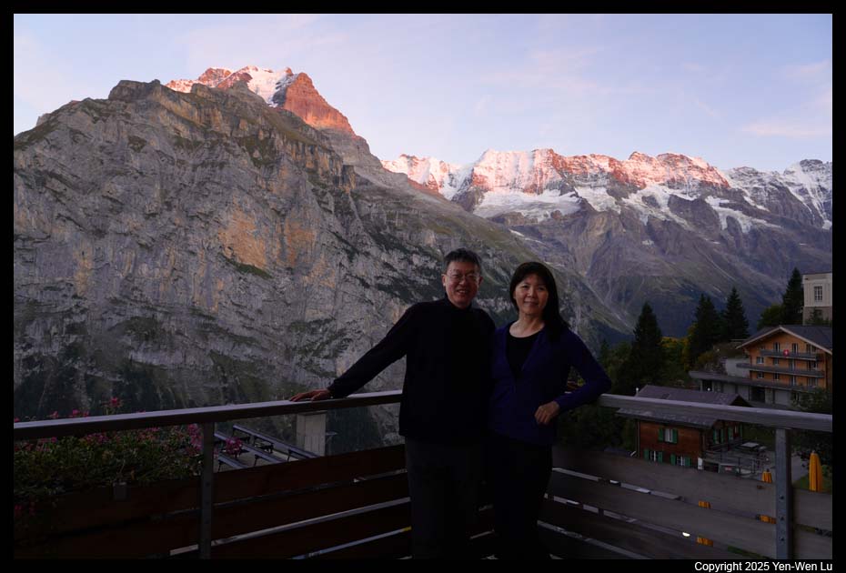
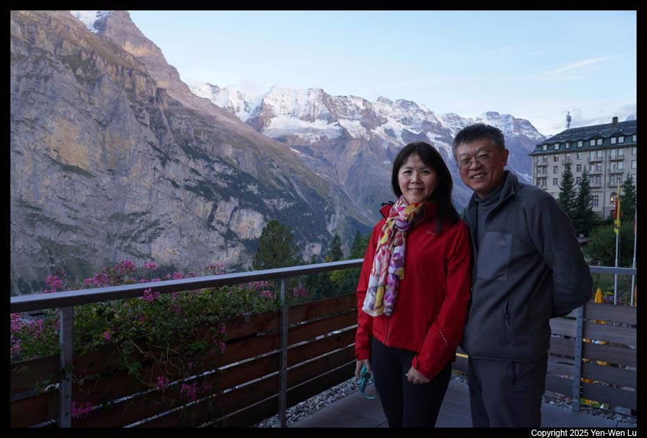
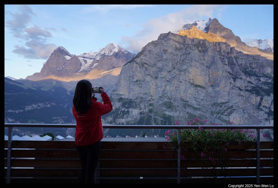
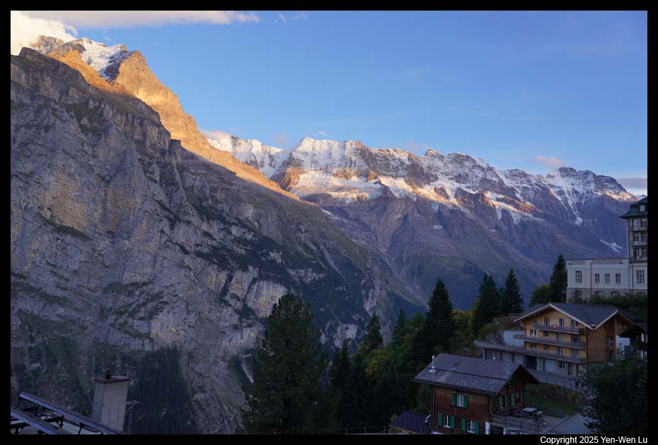
Day 2 (9/15) ...
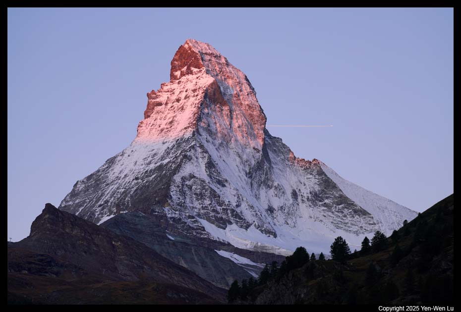
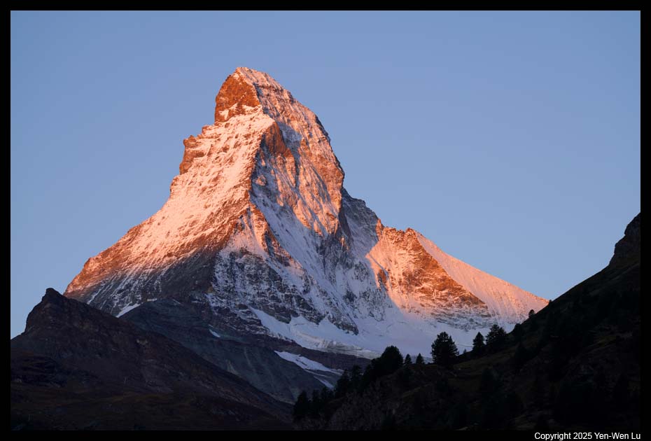
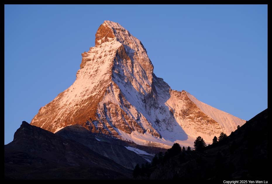
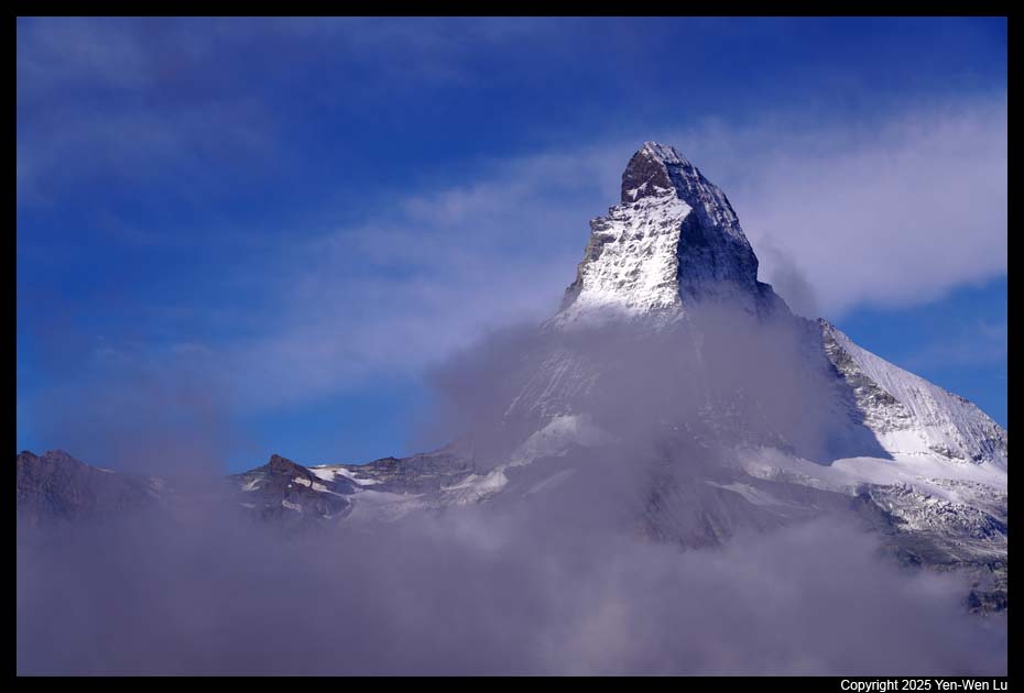
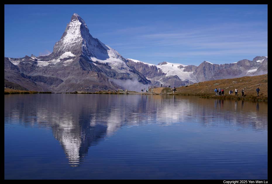
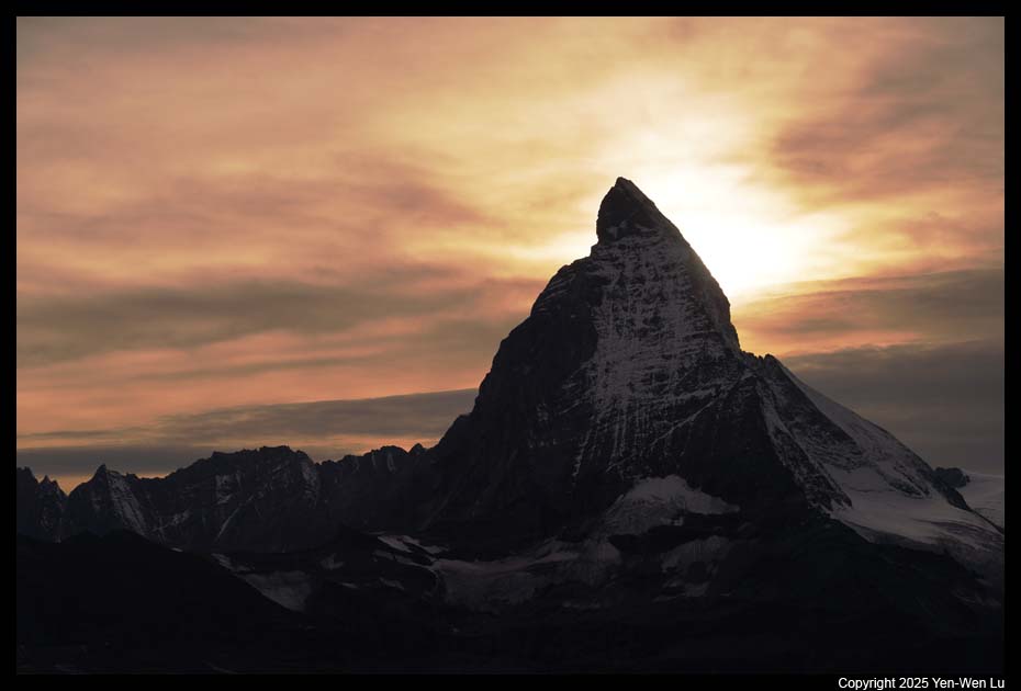
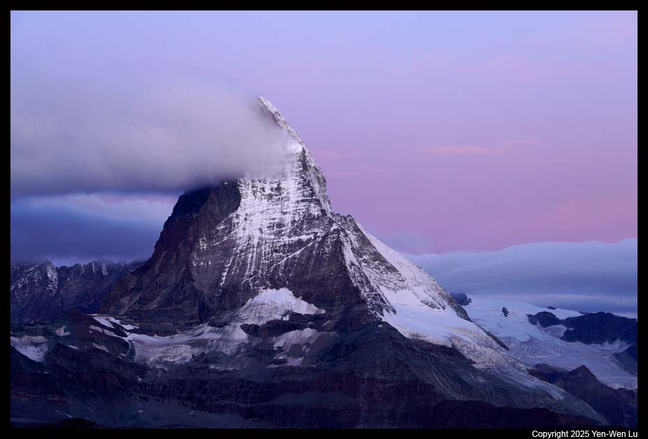
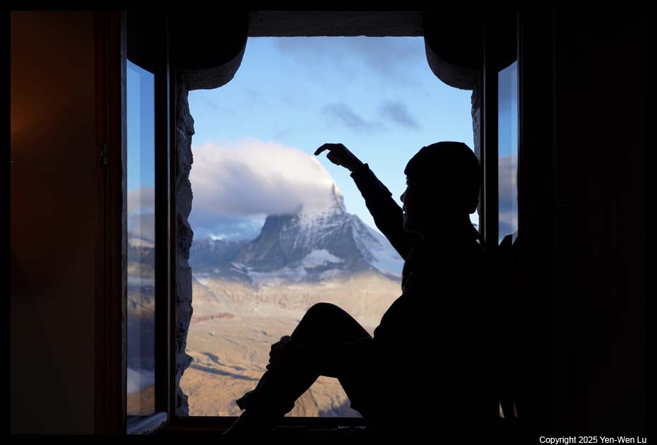
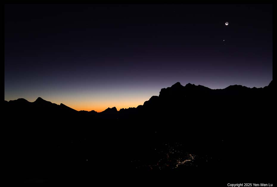
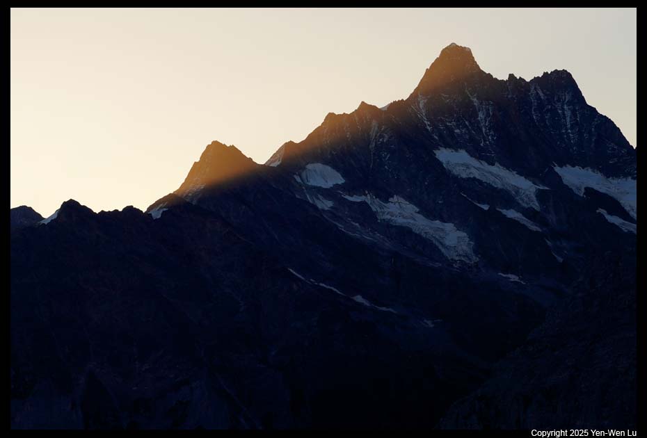
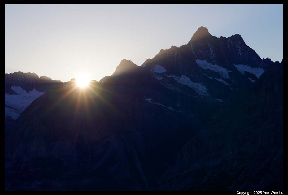
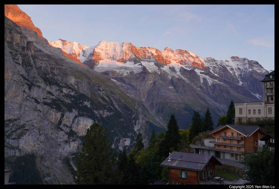
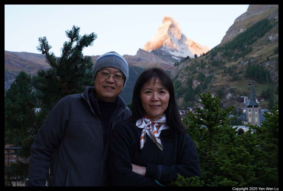
- Sunrise
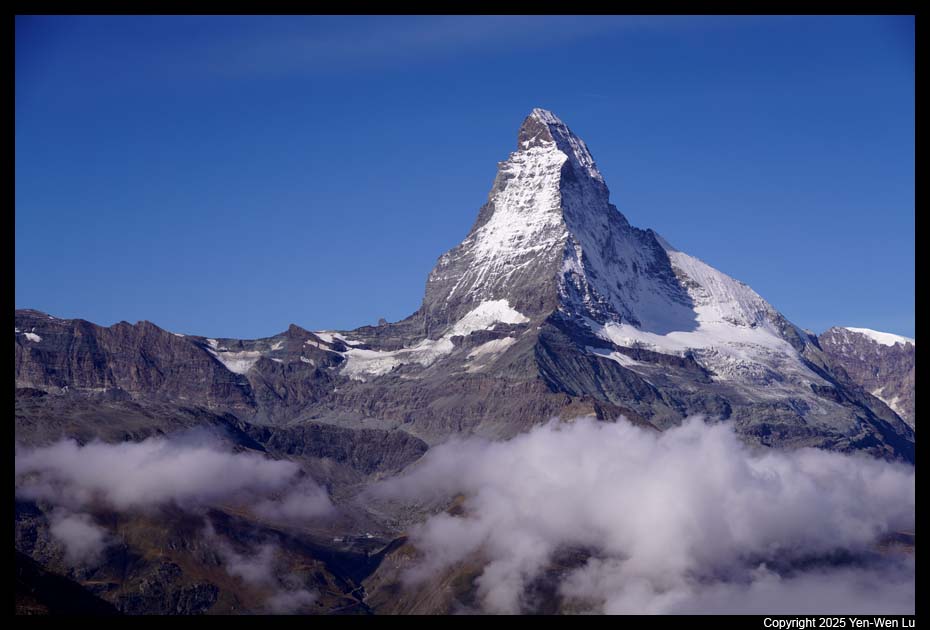
It was a clear morning and I had the best view of Matterhorn
right from our balcony.
-
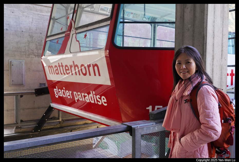
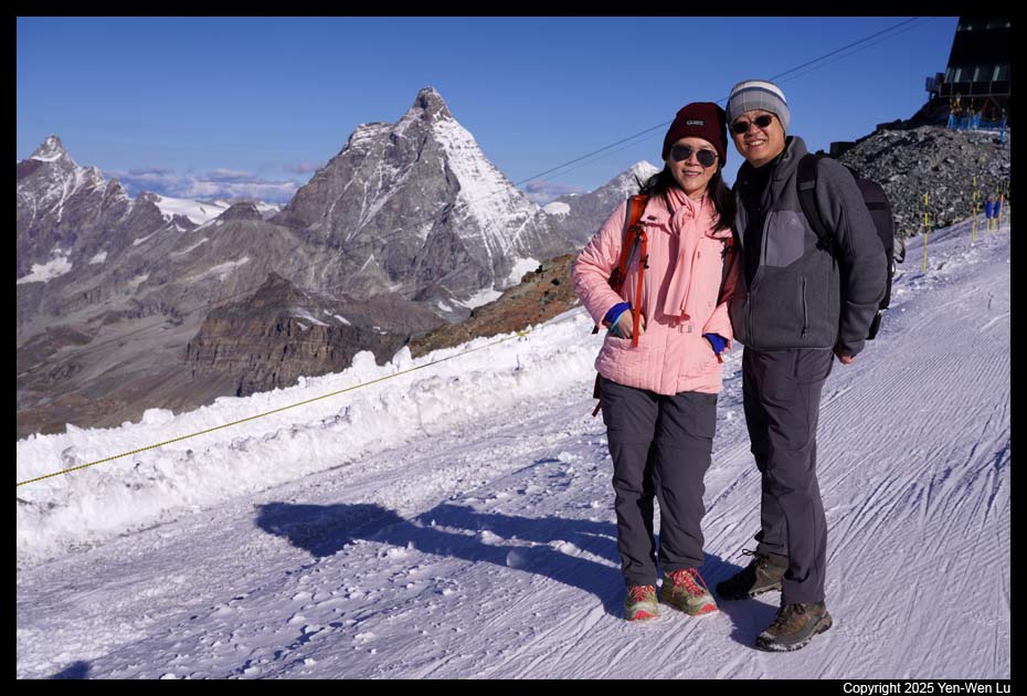
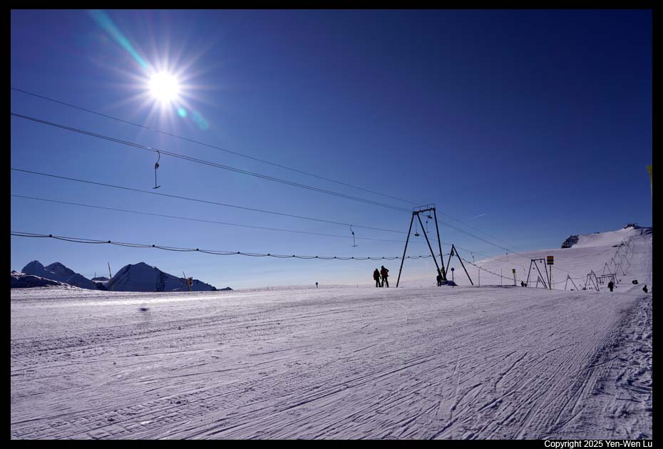
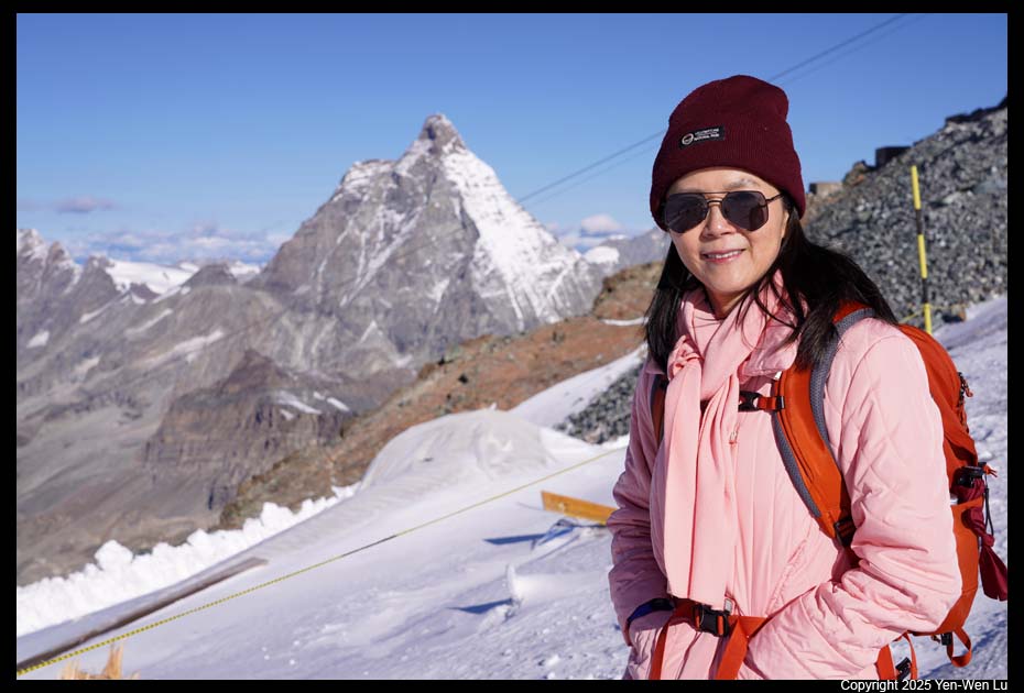
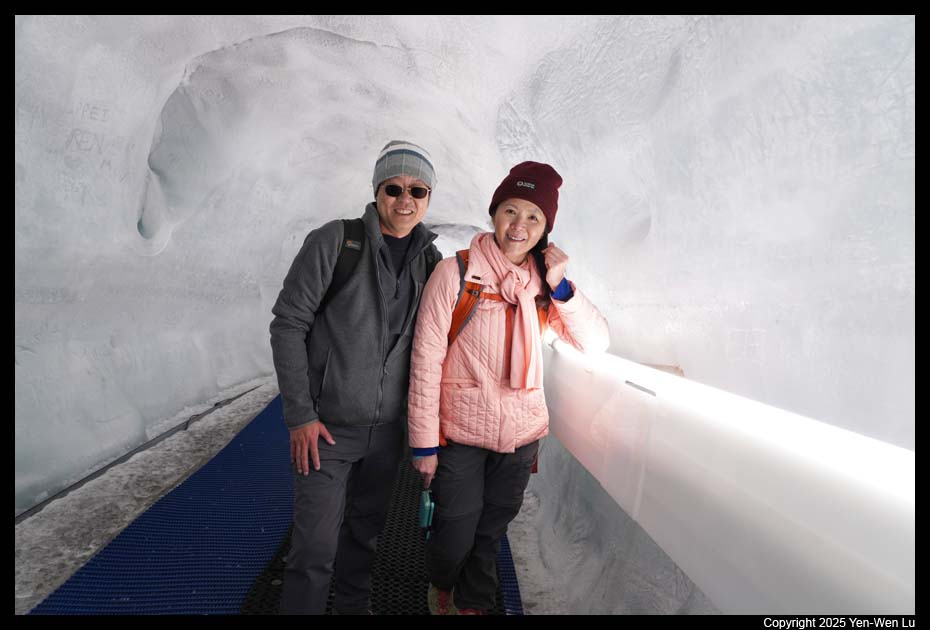
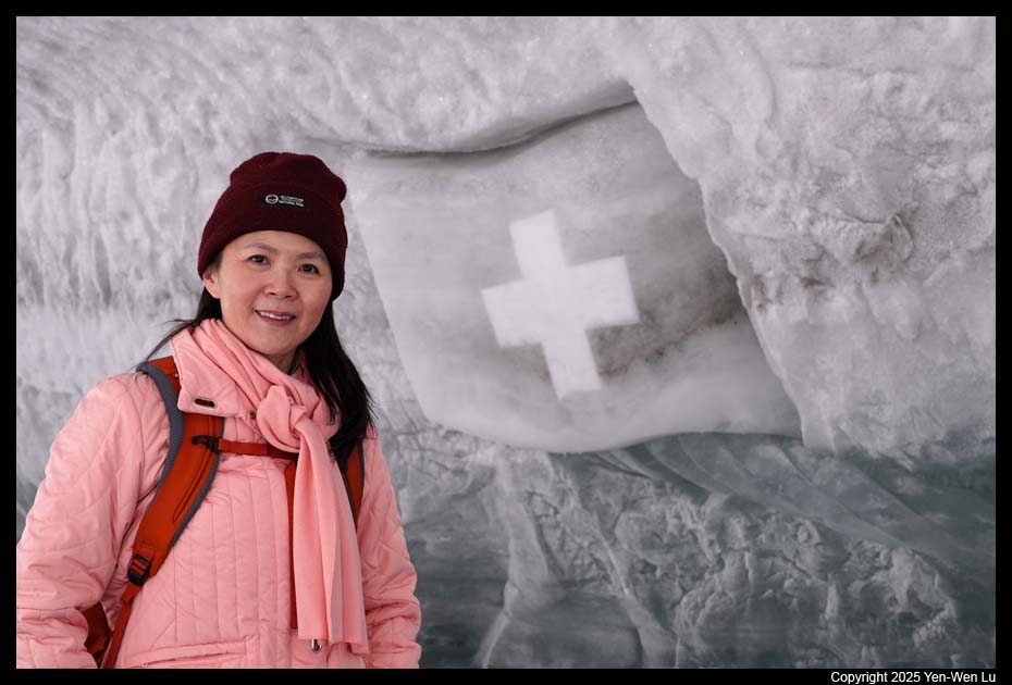
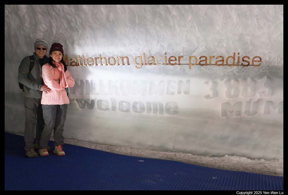
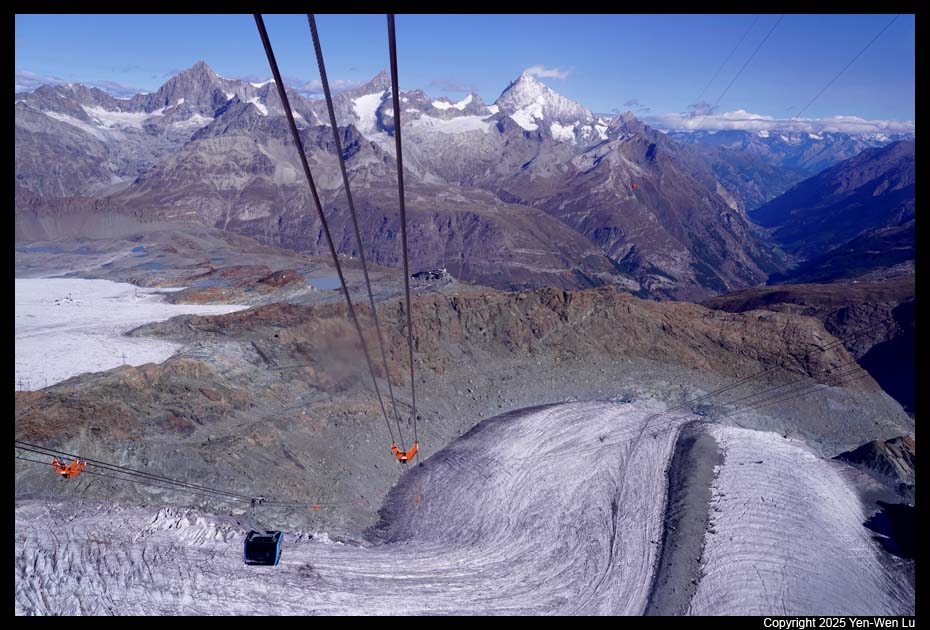
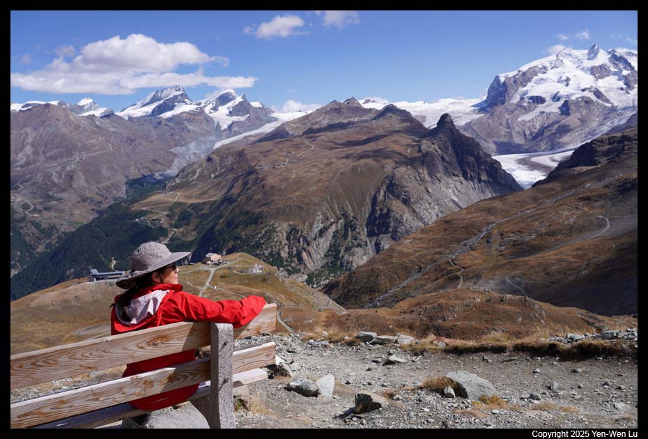
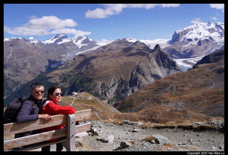
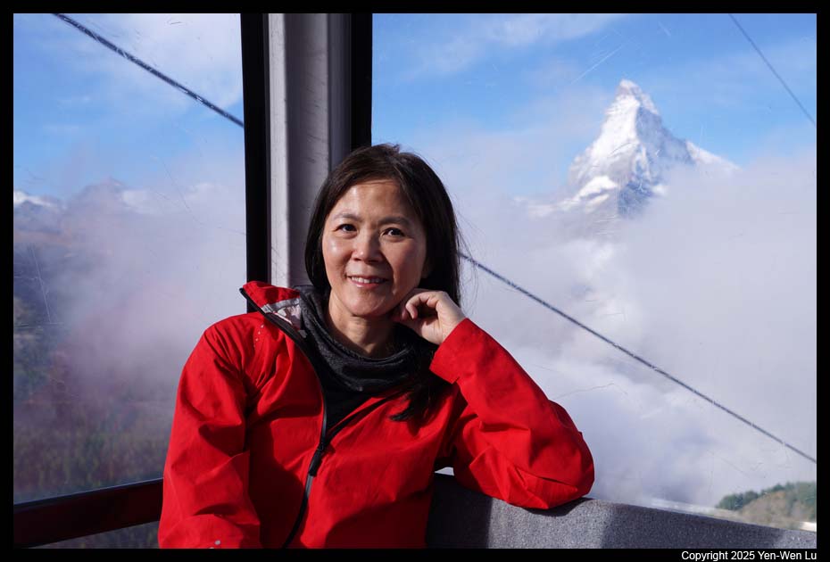
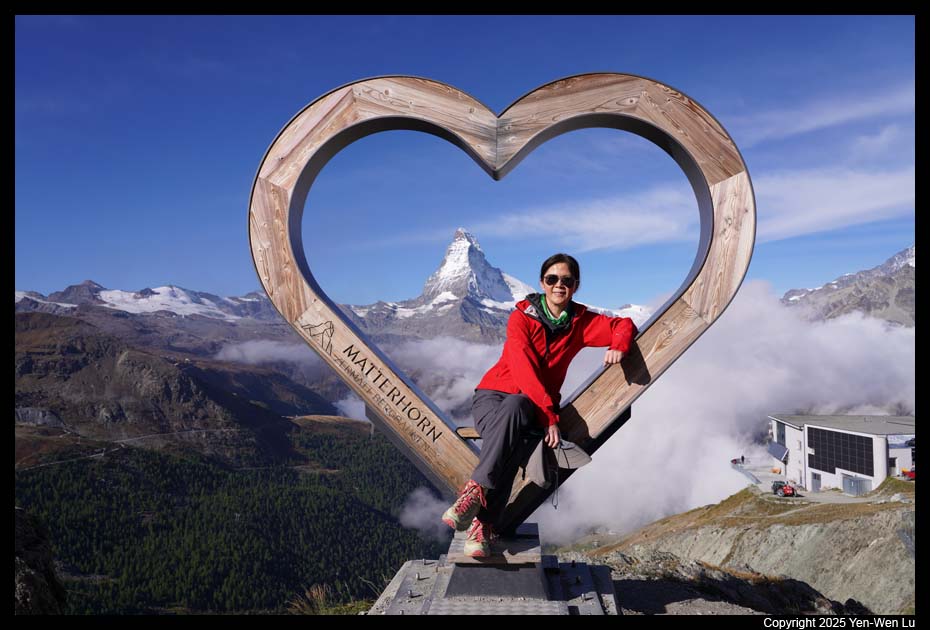
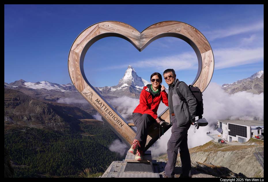
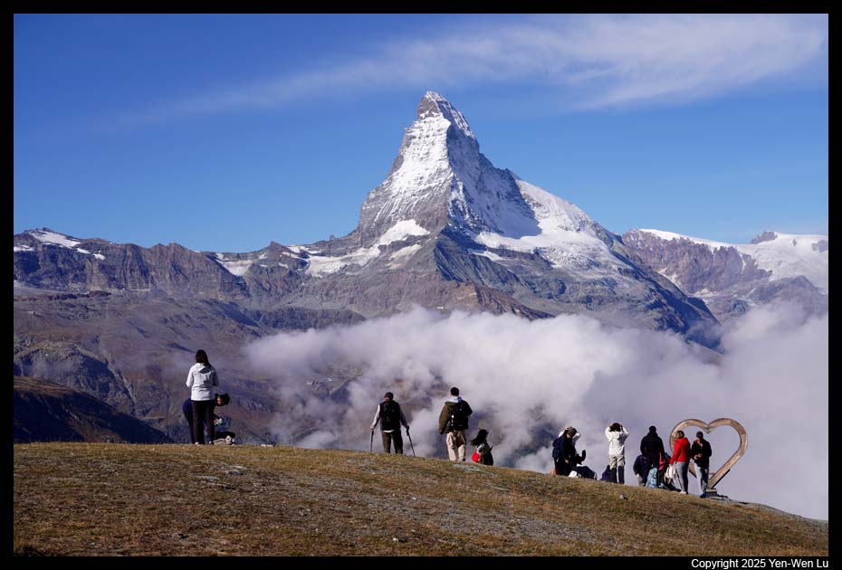
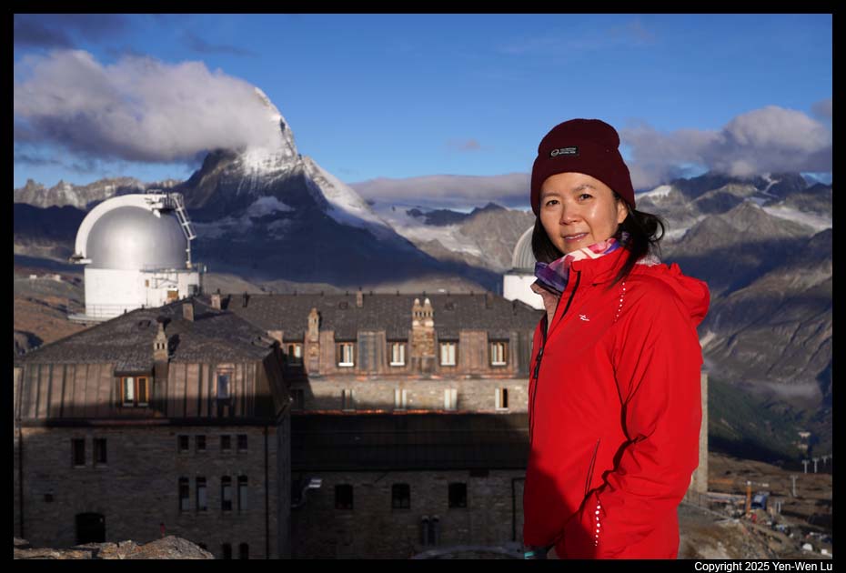
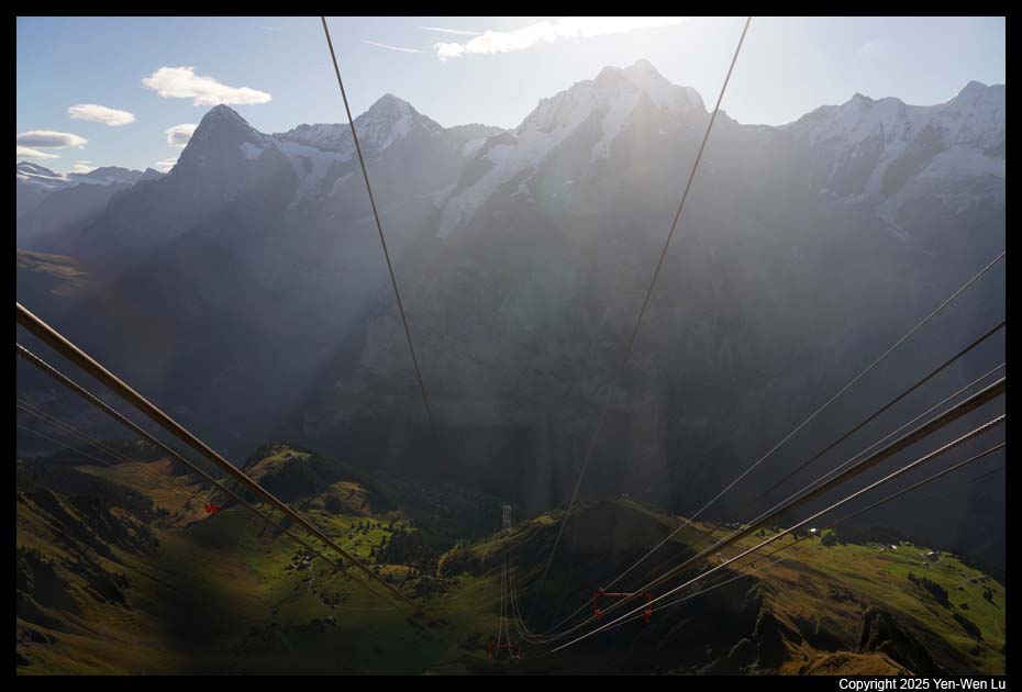
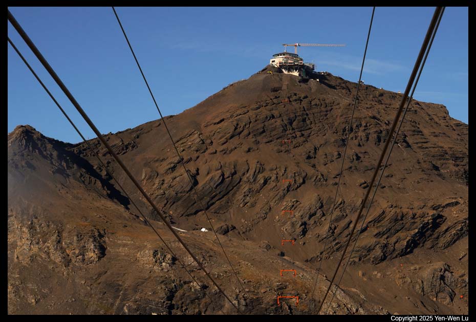
Matterhorn Glacier Paradise
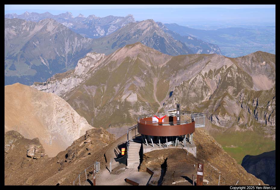
At an altitude of 3883 meters, the
Matterhorn Glacier Paradise (the Klein Matterhorn) is the peak on which the
highest mountain station in Europe is located. We walked to the
Zermatt cable car station at about 8:30AM to take the gondola to Furi.
From Furi, we transferred to a cable car to Trockener Steg, and then got on
another cable car from Trockener Steg for the final leg up to the Matterhorn
Glacier Paradise. From the highest viewing platform in Europe visitors
can enjoy a unique Alpine view that knows no national boundaries. The 360°
panorama opens up over 38 four-thousanders and 14 glaciers in France, Italy
and Switzerland.
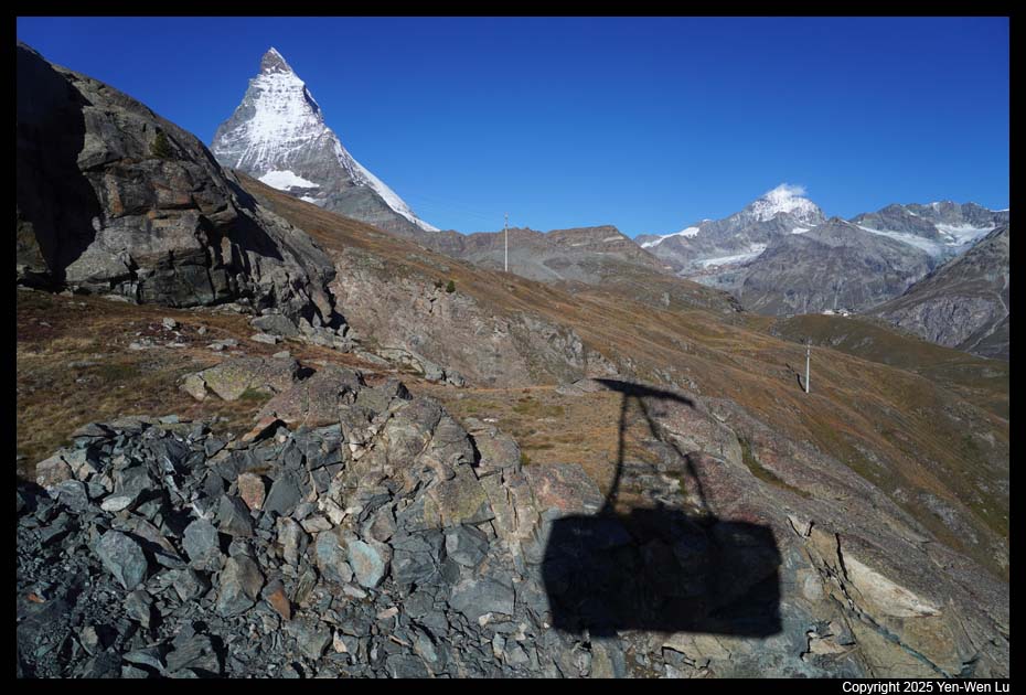
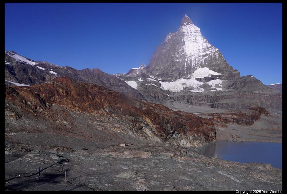
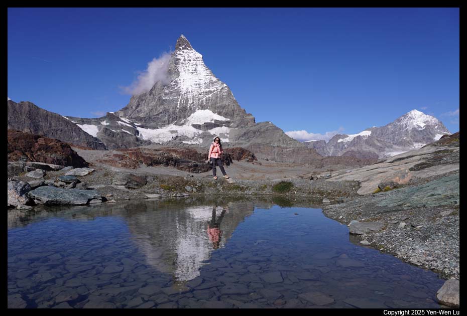
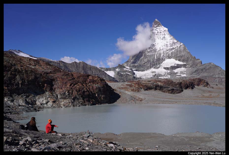
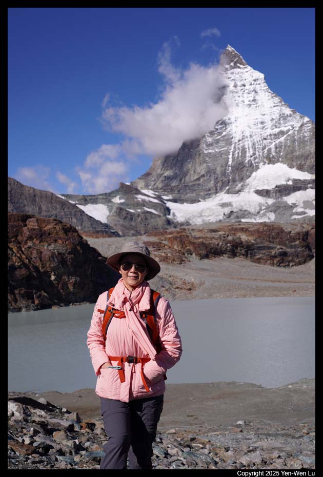
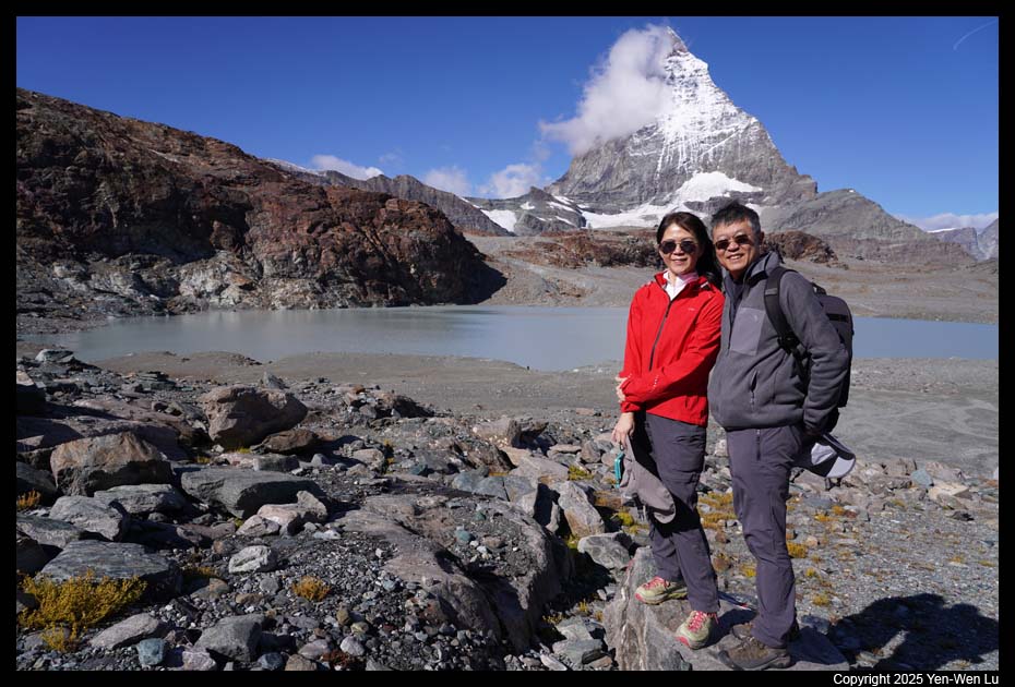
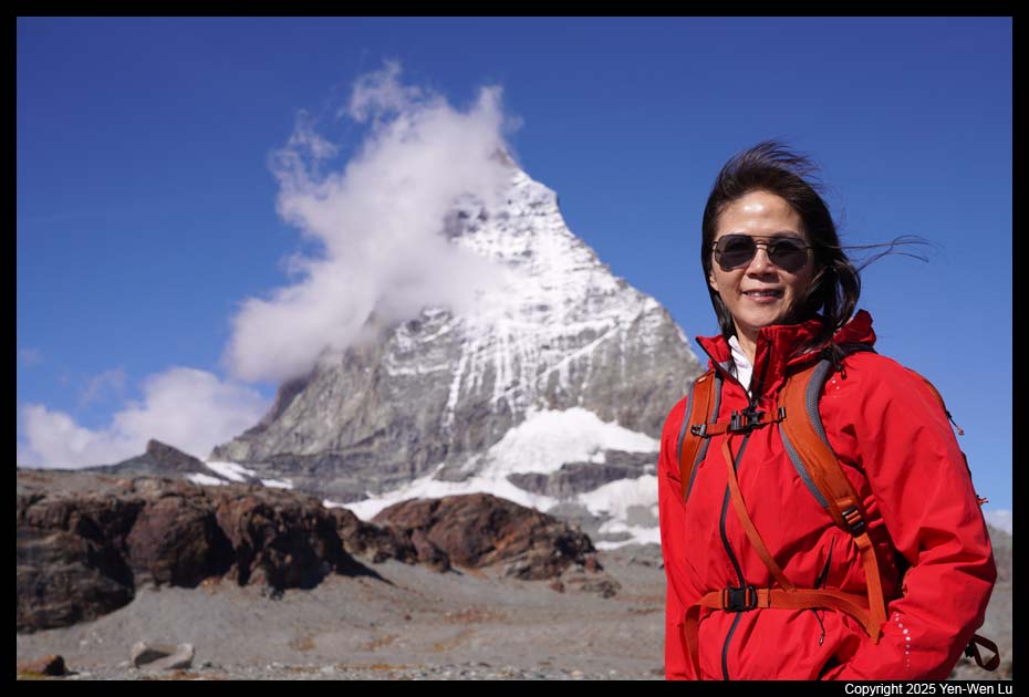
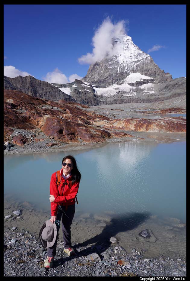
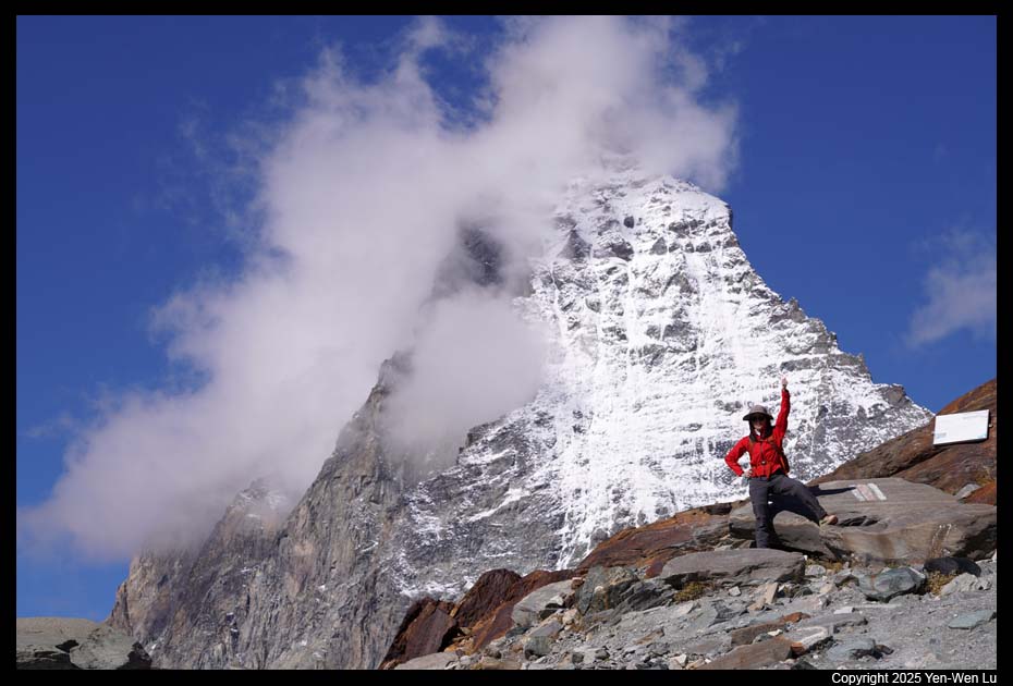
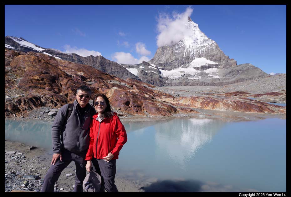
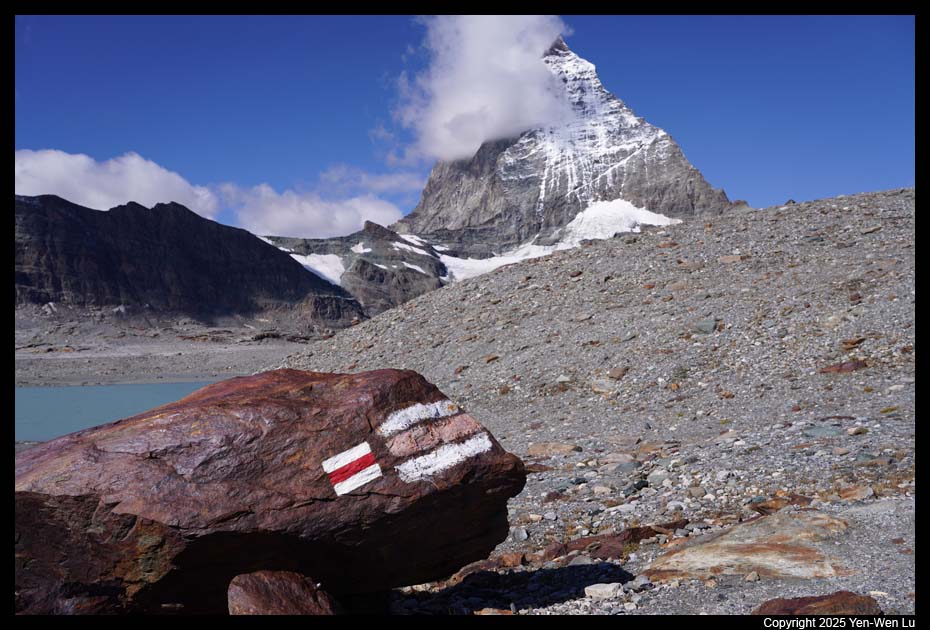
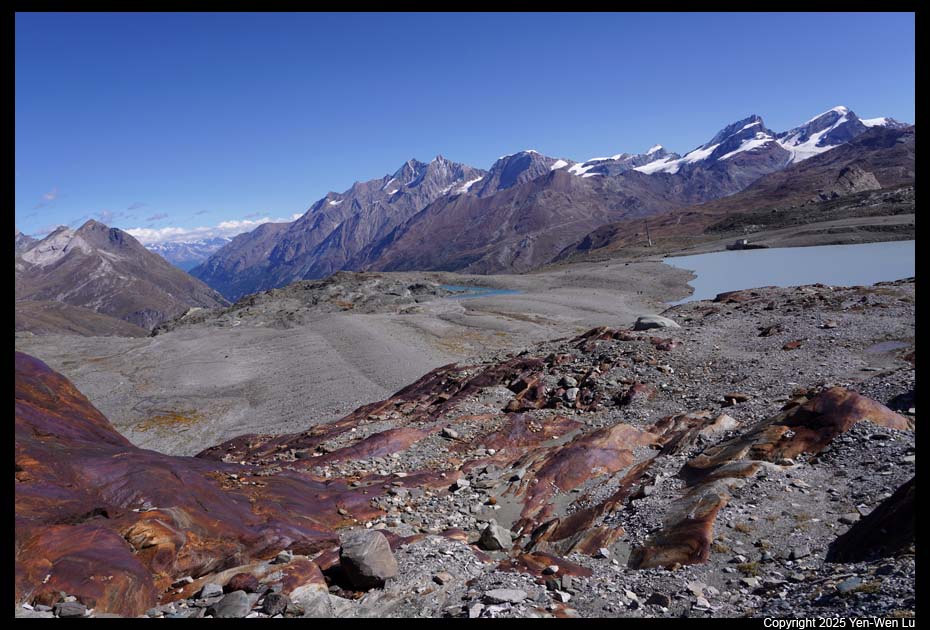
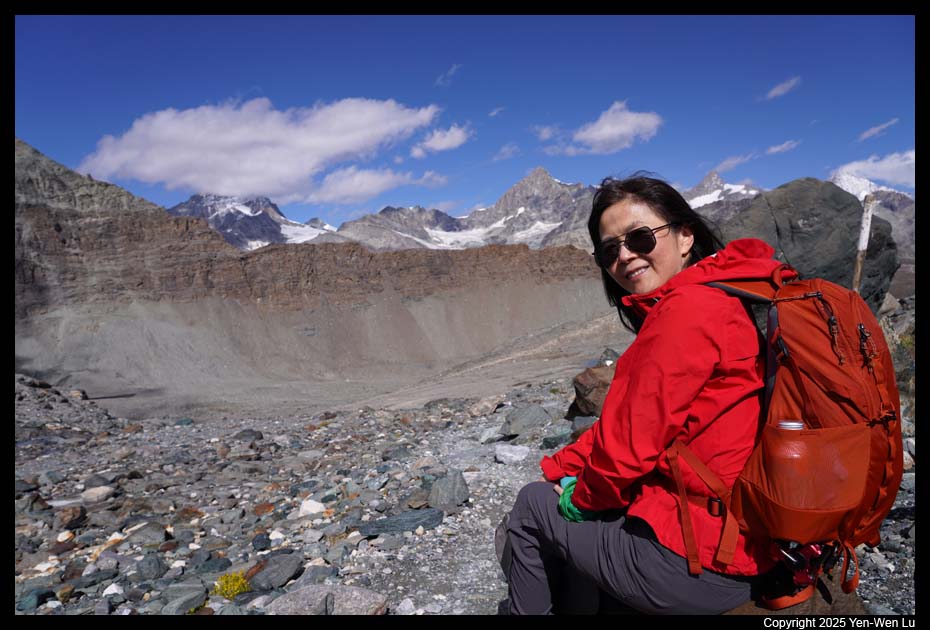
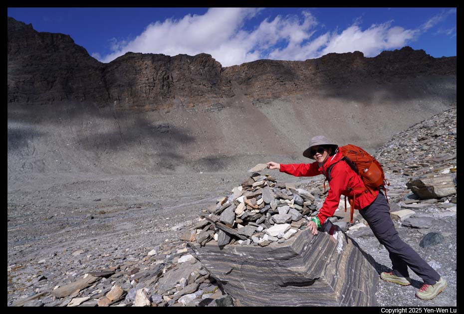
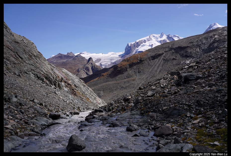
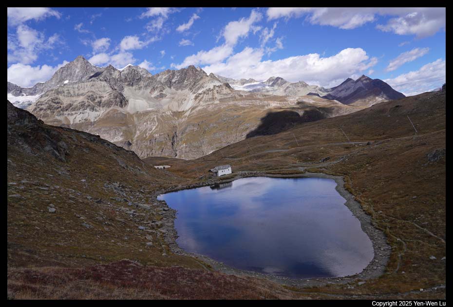
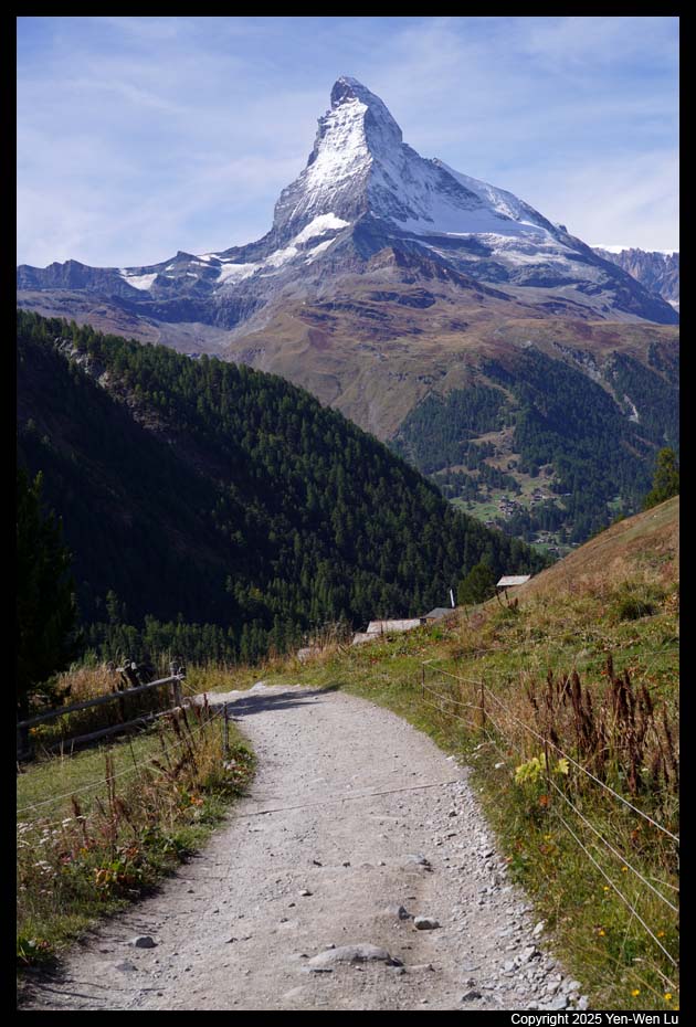
- Matterhorn Glacier Trail
We took the cable car down to Trockener Steg
at about 10:20AM and started our first hike of the trip, the Matterhorn
Glacier Trail from Trockener Steg to Schwarzsee (4.25miles, 750ft up, 1900ft
down). The Matterhorn Glacier Trail travels through a barren, rocky
wilderness with very little signs of life. Since 1850, the Furgg and Theodul
Glaciers have retreated, leaving behind this almost lunar landscape.
The Matterhorn Glacier Trail provides an insight into the different stages
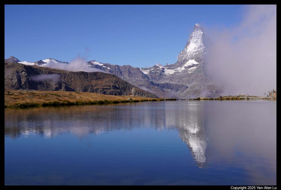
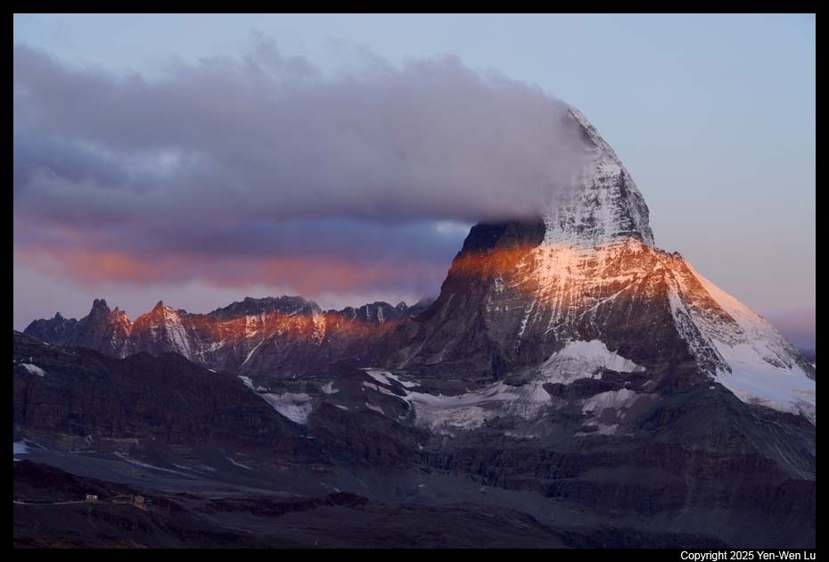
of glacial retreat. The views along the trail were truly incredible.
We could see cloud start to form around Matterhorn to create some
mysterious mood of this majestic mountain peak.
We had our instant rice bowls as a quick lunch at about
2/3 of the trail (after crossing a metal bridge and before a stretch of steady
ascent). After the climb, it was a steep downhill for the last mile down
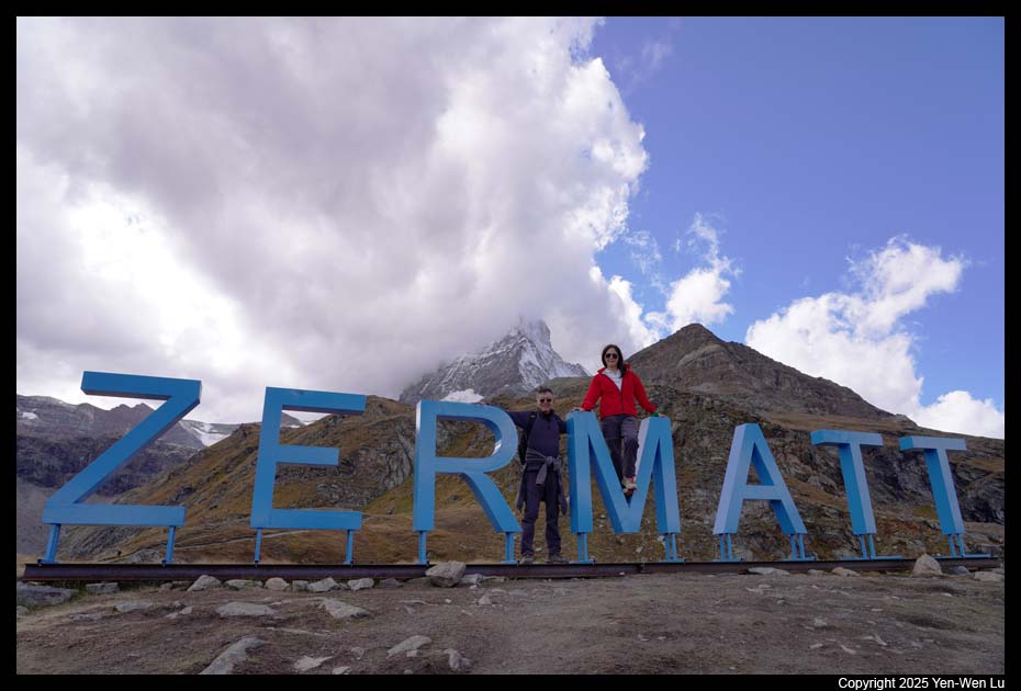
to Schwarzsee. When we reached Schwarzsee and took a picture with the
Zermatt sign at ~ 2:30PM, Matterhorn was already not visible at all.
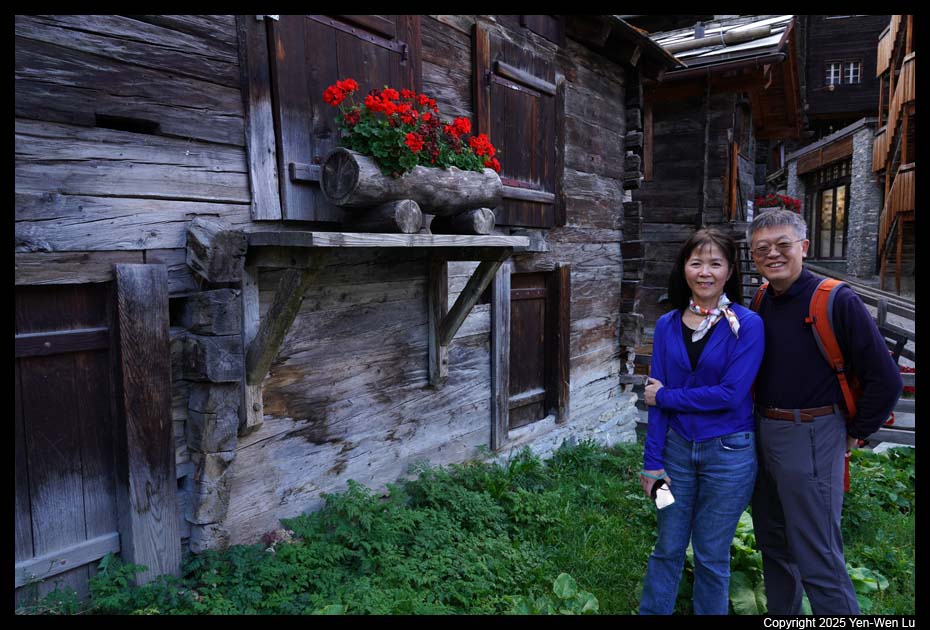
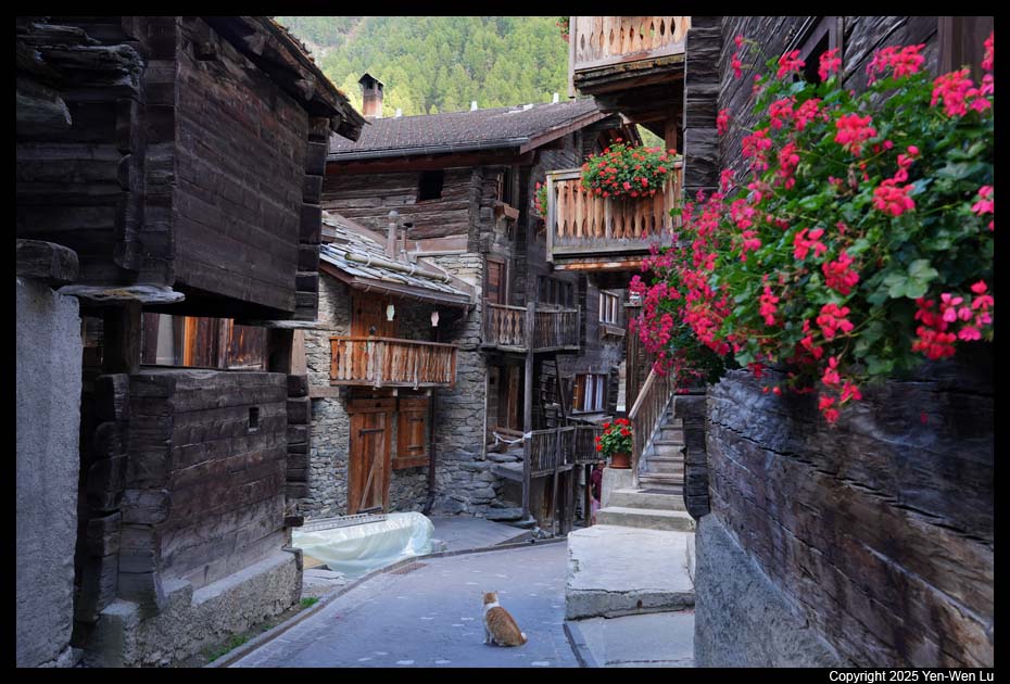
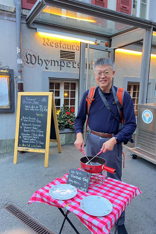
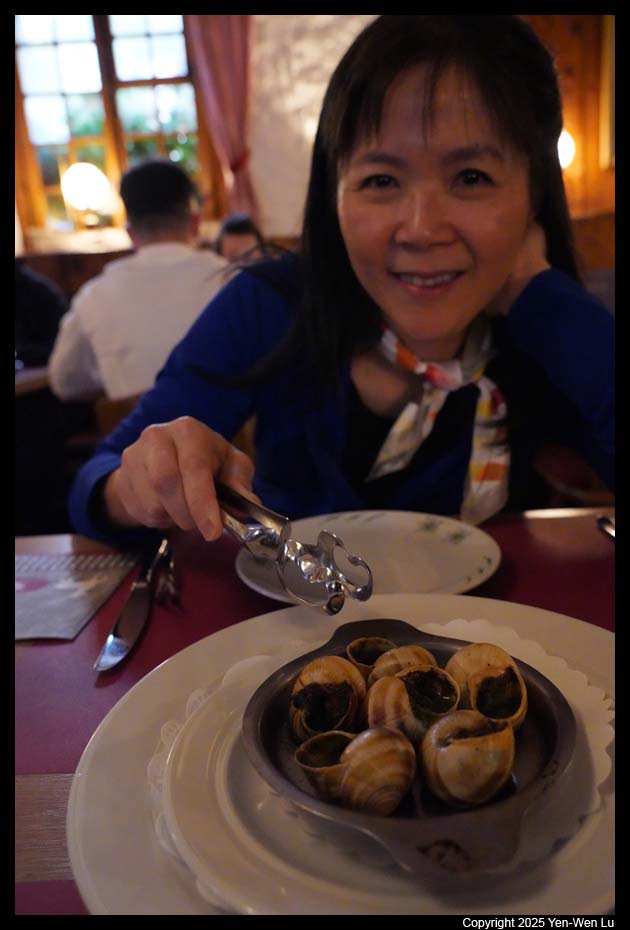
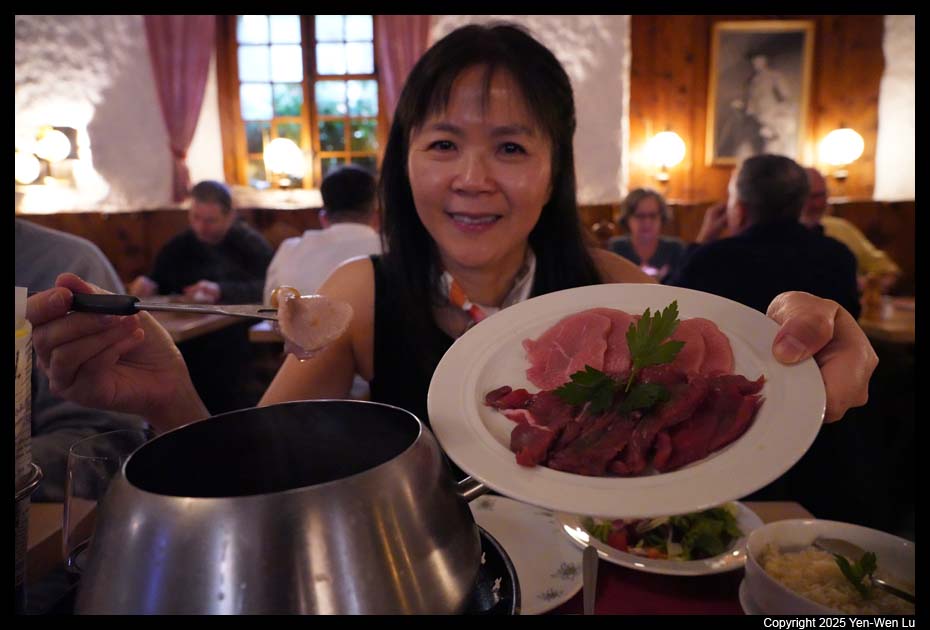
- Zermatt
We were back to Zermatt at about 3PM (we took a bus from the
cable car station back to the hotel). After some very needed rest, we
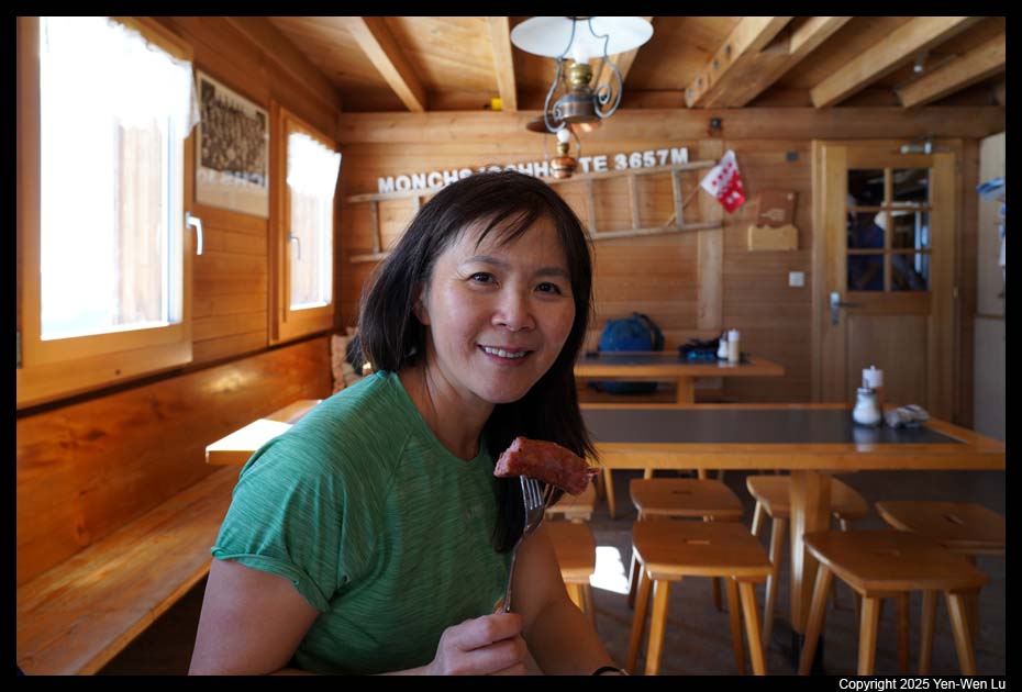
walked to Zermatt town center to have a nice
meat fondue dinner.
Day 3 (9/16) ...
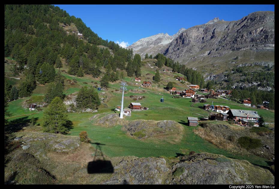
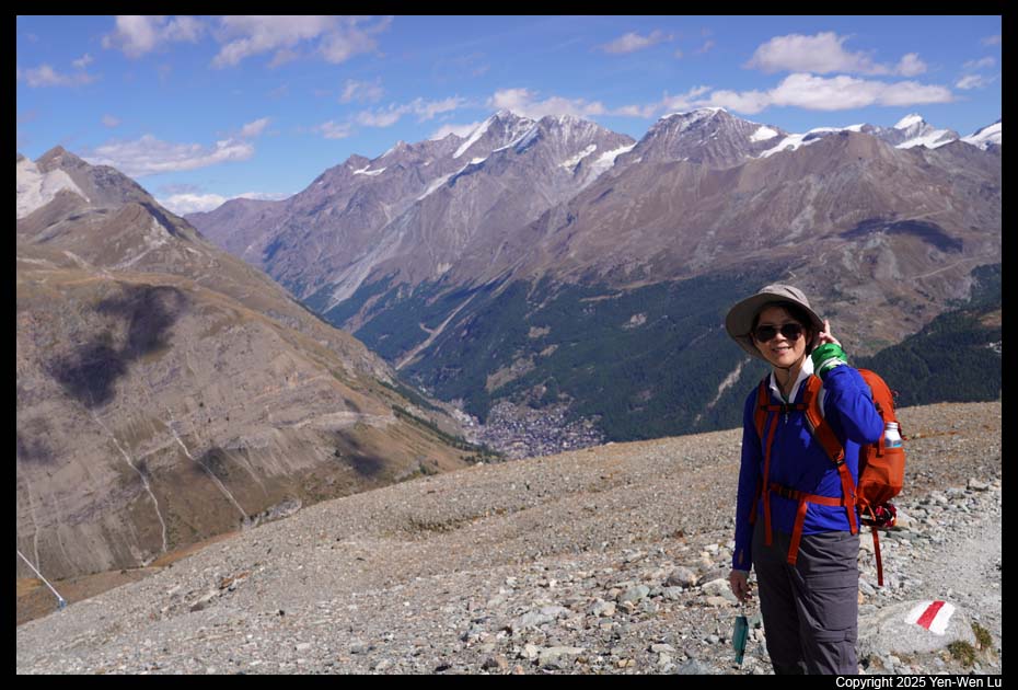
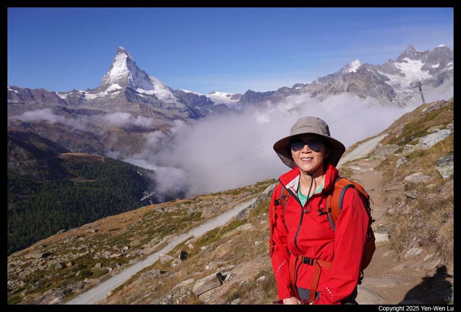
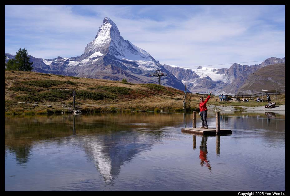
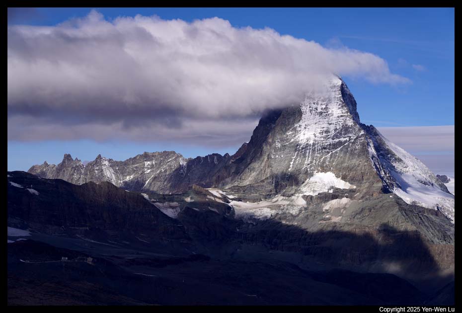
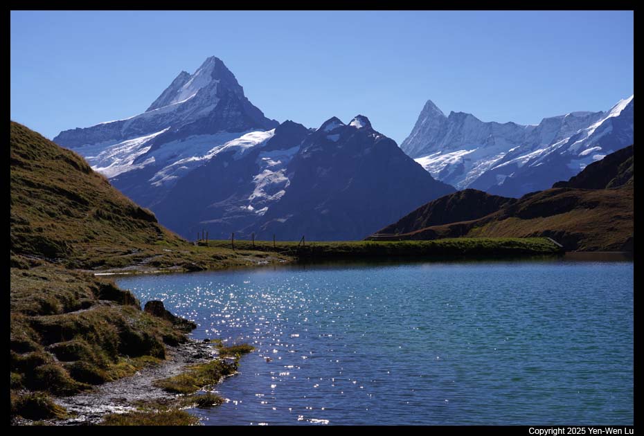
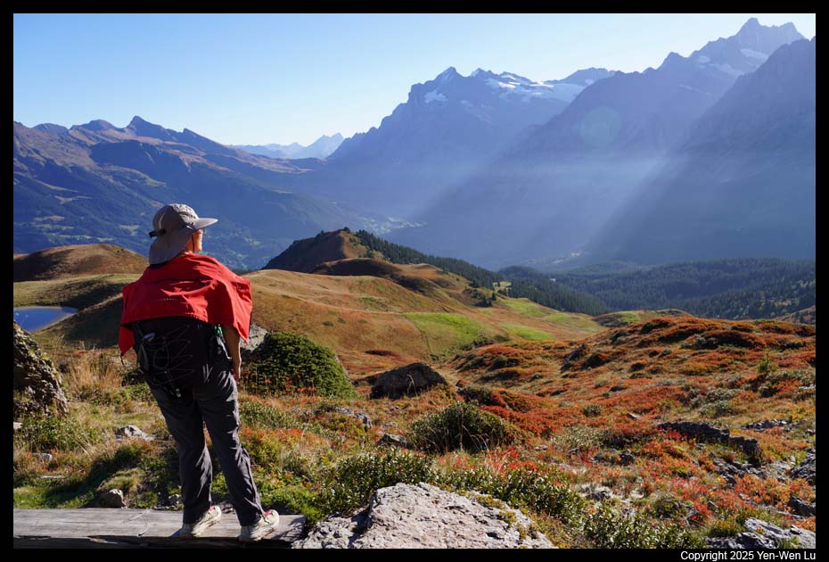
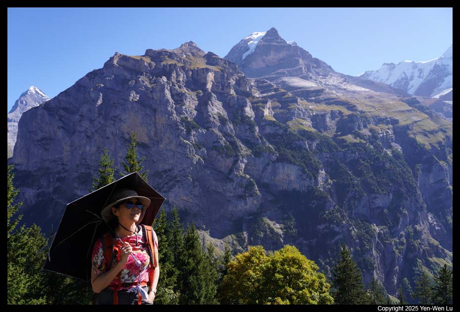
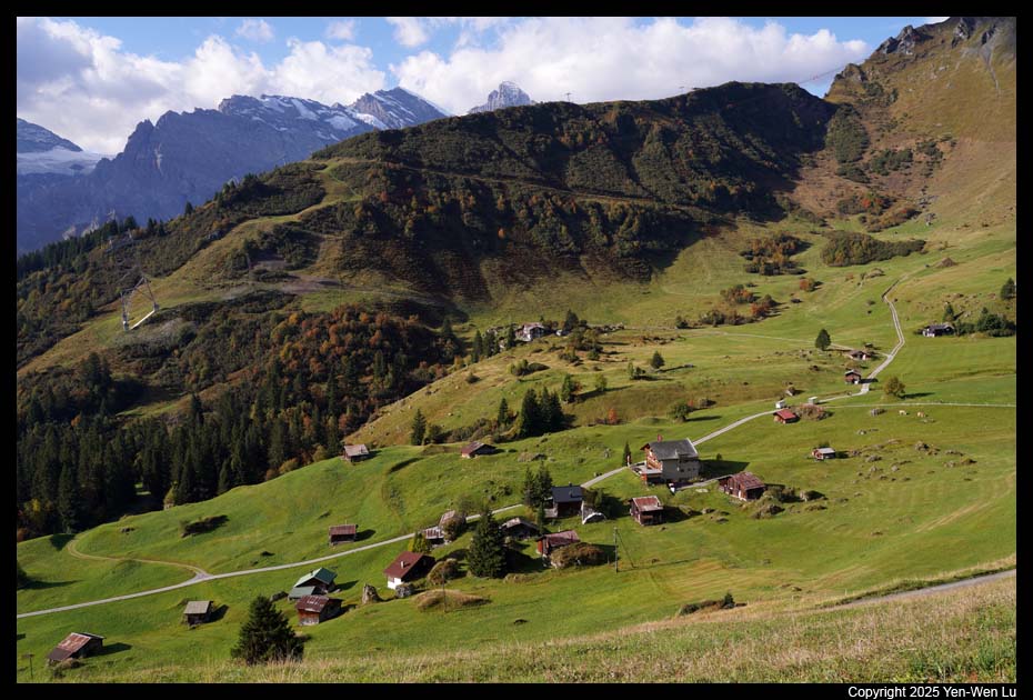
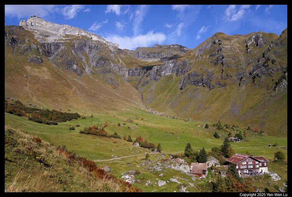
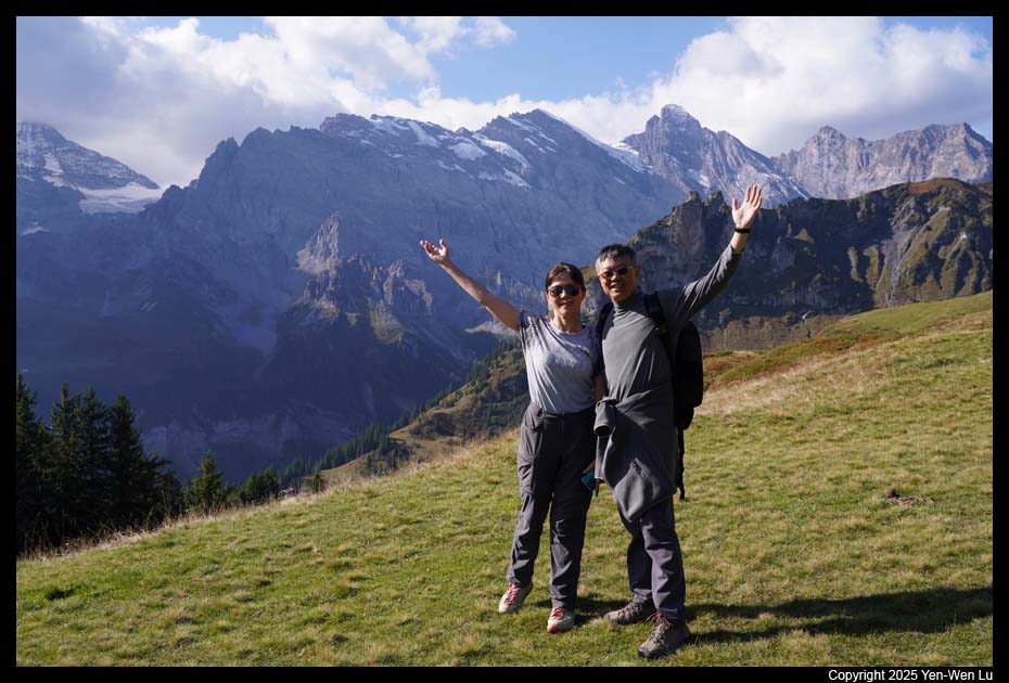
- Zermatt -- Sunnegga -- Blauherd
It started as a cloudy morning so we
did not go out until after 9AM when the sky showed signs of clearing
up. The typical route for this part of mountains is Zermatt -- Sunnegga -- Blauherd --
Rothorn. However, the section Blauherd -- Rothorn was closed for this
season because of rock slides a few months ago. The funicular
from Zermatt to Sunnegga is entirely inside a tunnel. When we exited at
the Sunnegga station to switch to a gondola ride, we saw Matterhorn start to
emerge from the cloud, and when we got to Blauherd, Matterhorn had stood out
above the low cloud.
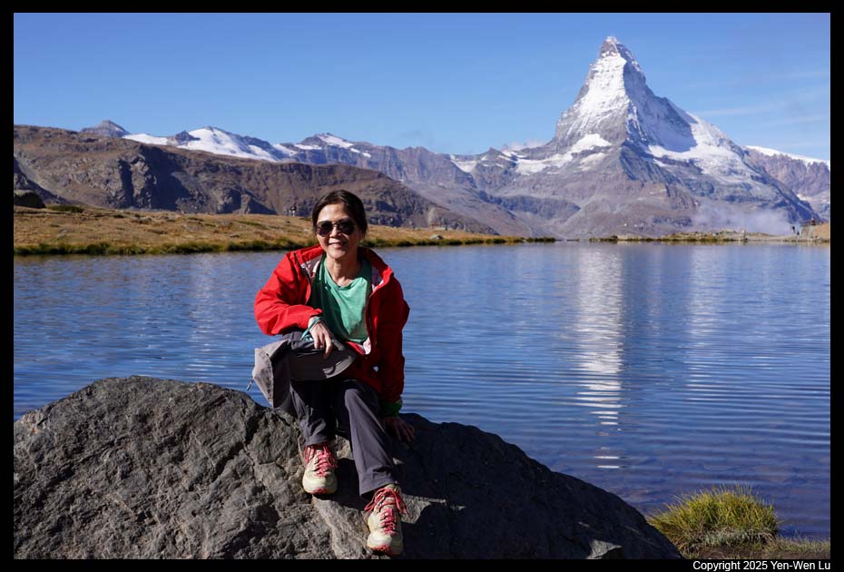
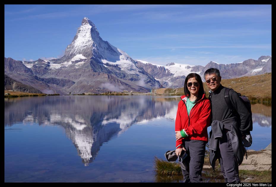
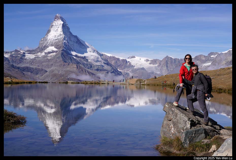
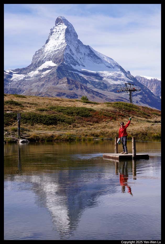
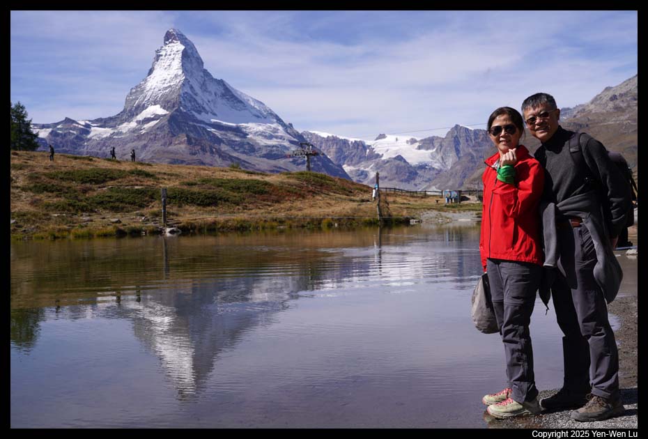
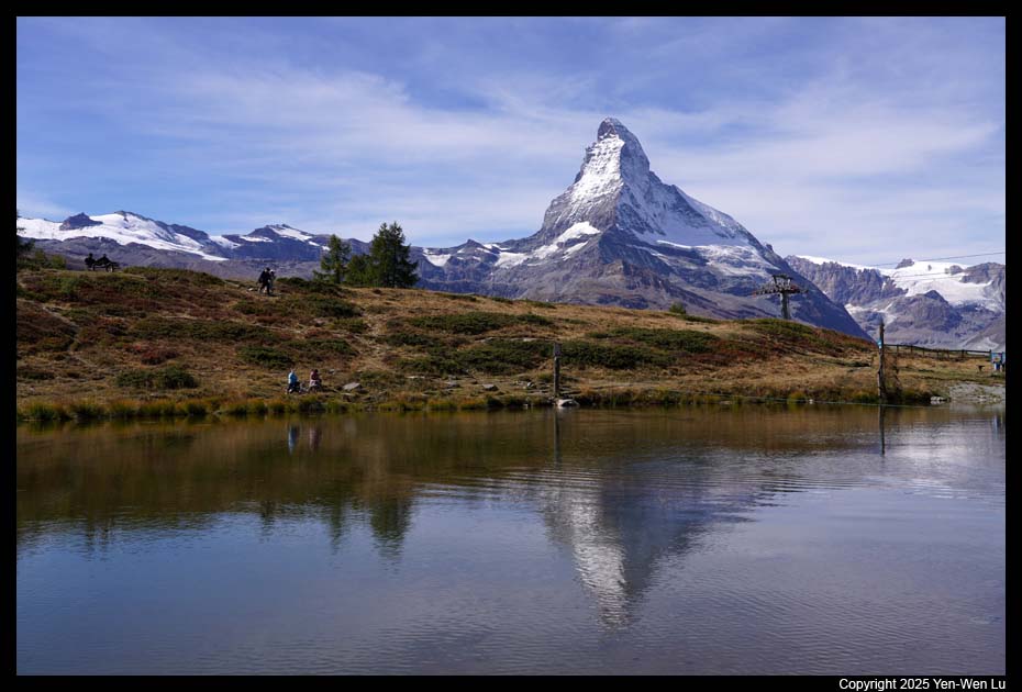
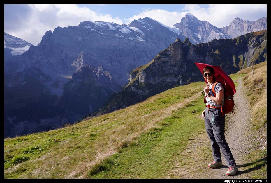
- Blauherd - Stellisee
Blauherd is the starting point of the popular
five-lake trail (Stellisee, Grindjisee, Grünsee, Moosjisee and Leisee).
Instead of doing the full 5 lakes, I decided to just walk to the first lake,
Stellisee (because I wanted to try mountain carts from Blauherd to
Sunnegga). It was a perfect day to be at Stellisee!
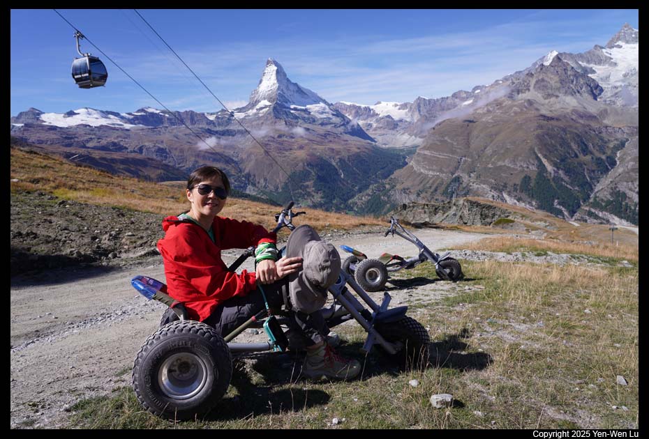
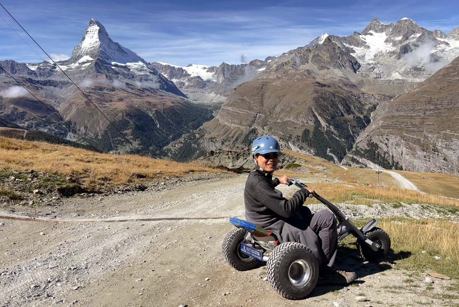
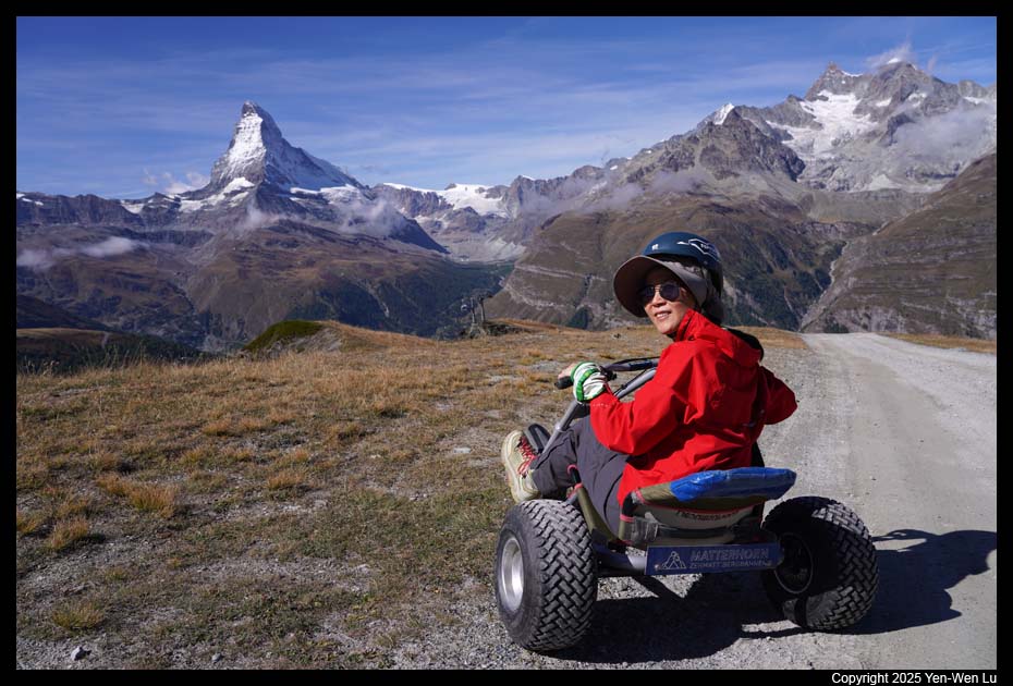
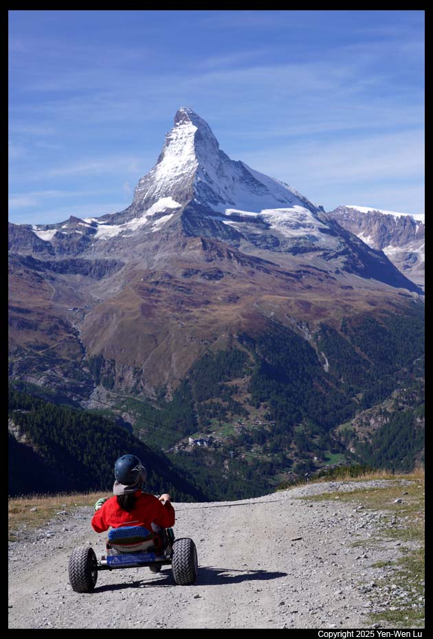
- Blauherd - Sunnegga (Mountain Cart)
We walked back to Blauherd and
rented mountain carts (video) to ride down to Sunnegga. Mountain carts are
three-wheel go-carts with very low center of gravity (so it is almost
impossible to flip or fall). It was a short 1-mile (~1.6 km) ride on a
dirt road with ~300 meters elevation drop. It was a lot of fun
even we were riding so slowly that we even lost our momentum for a short
section of gradual uphill. We were surprised that there was no
one else doing the mountain carts...
- Sunnegga - Leisee
We walked to Leisee (the last lake of the five
lakes) from Sunnegga to take a few pictures. It was another
picture-perfect moment.
- Sunnegga - Chez Vrony
The gourmet trail from Sunnegga to Findeln is
famous for both its gorgeous views and restaurants along the trail.
We went to Chez Vrony, one
of the best (for both food and view) around the area (it is actually a
Michelin-guide restaurant!), for a delicious traditional Swiss Rösti
lunch.
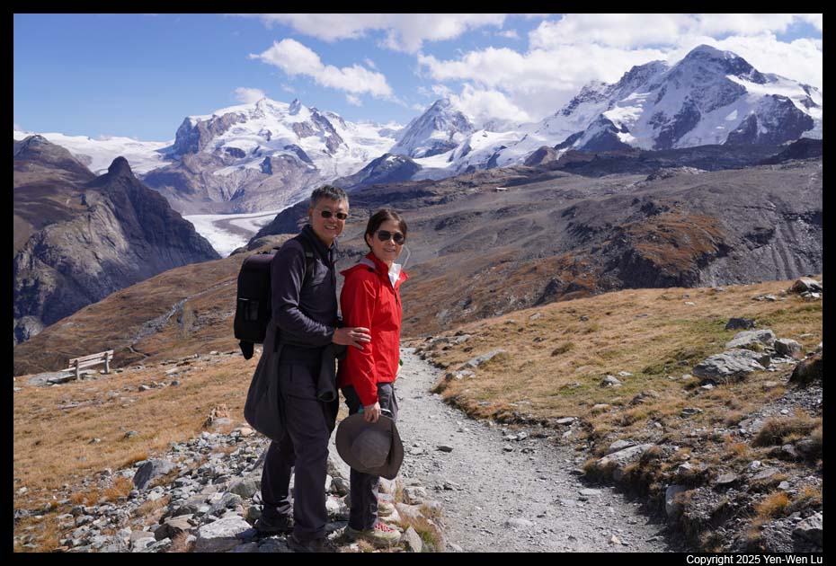
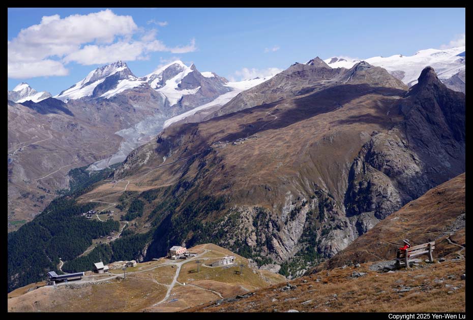
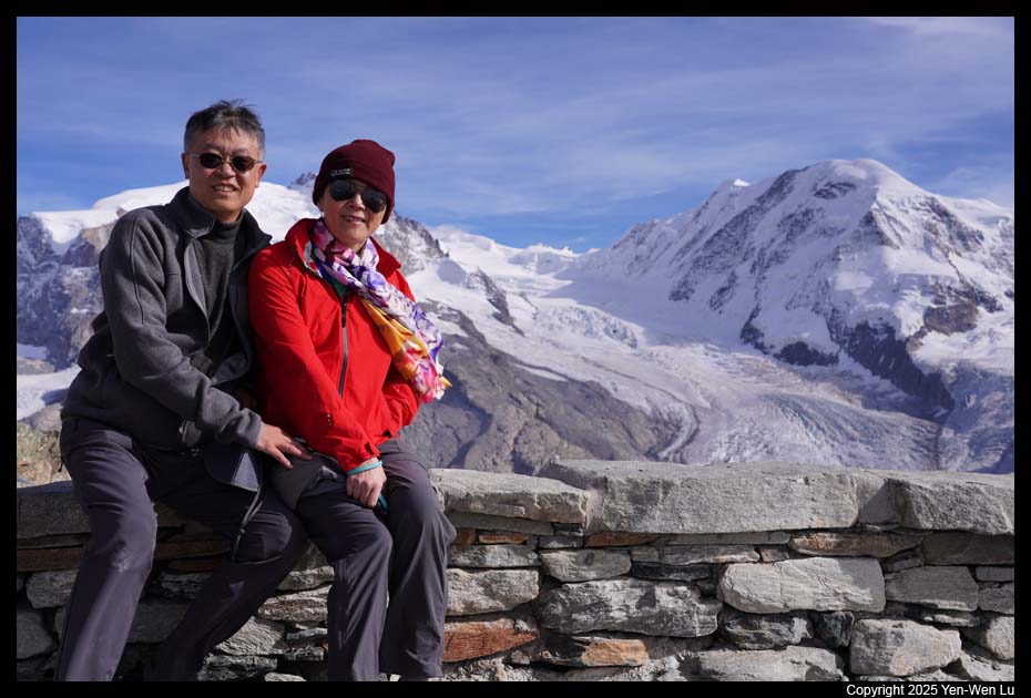
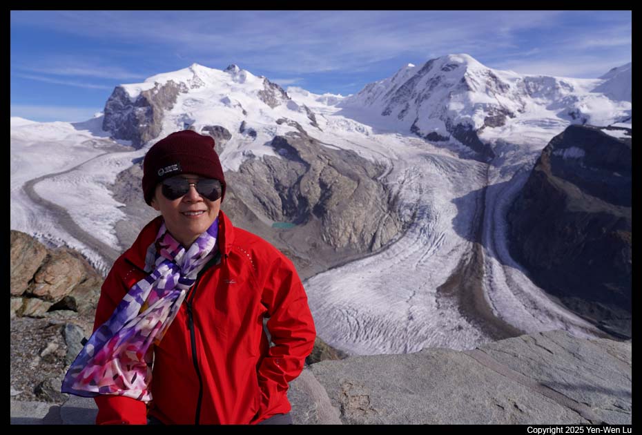
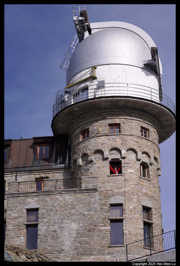
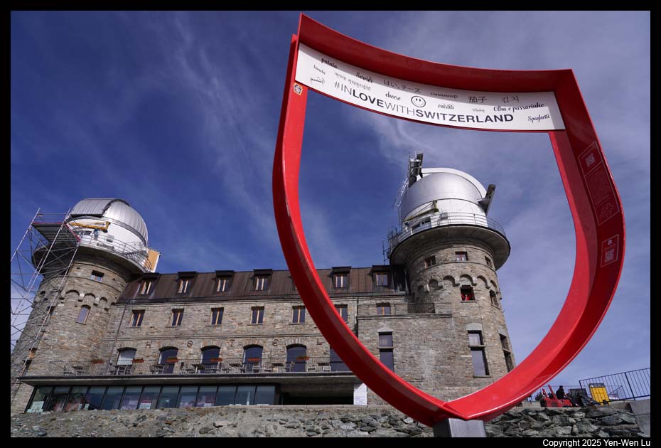
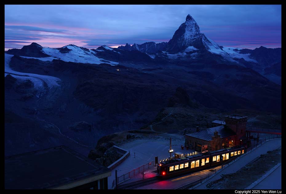
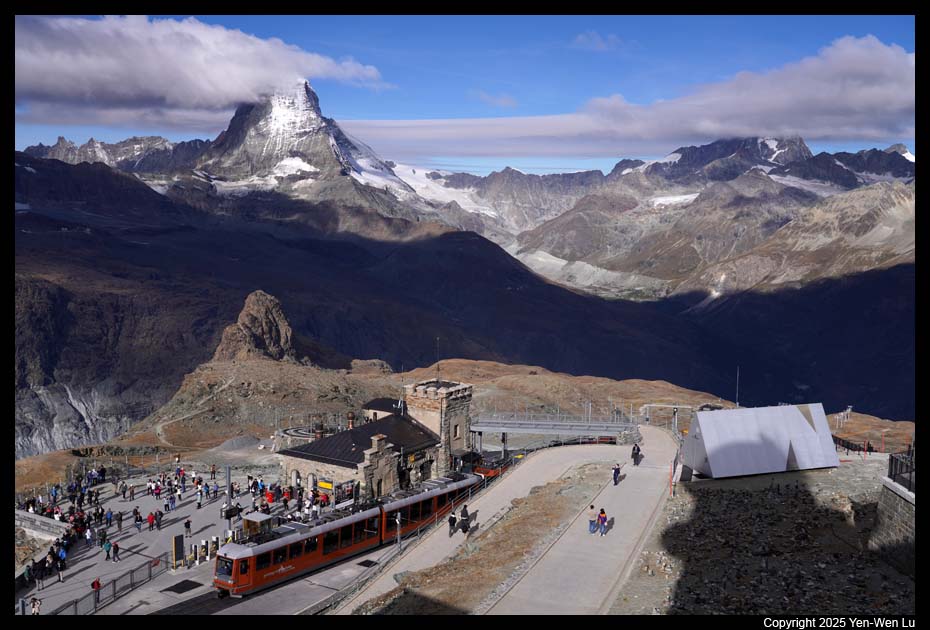
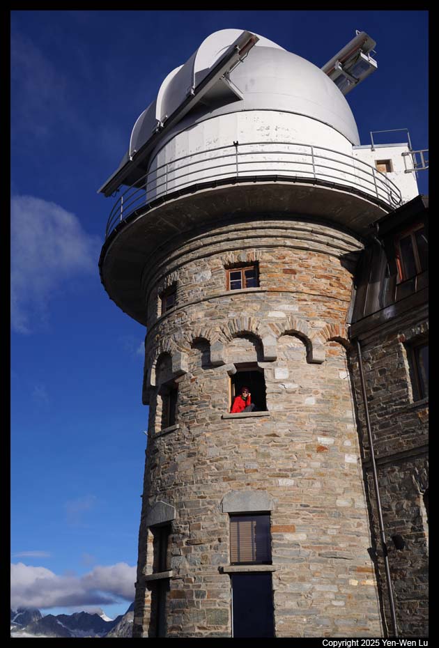
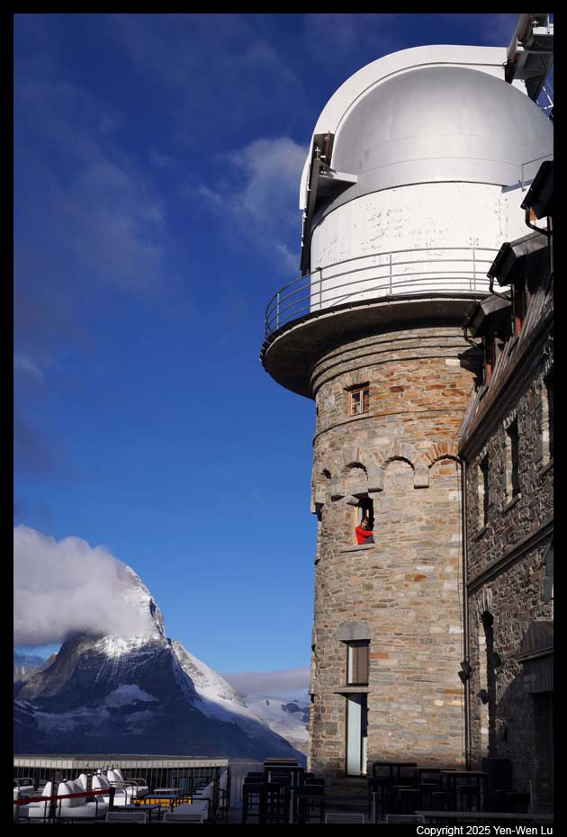
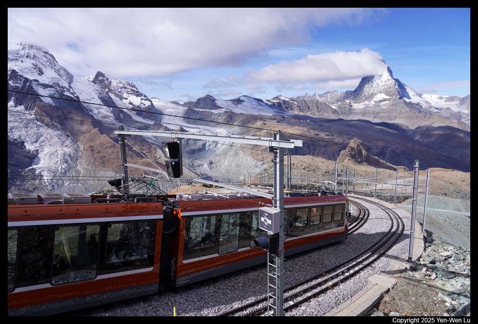
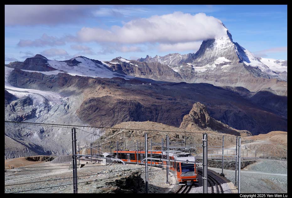
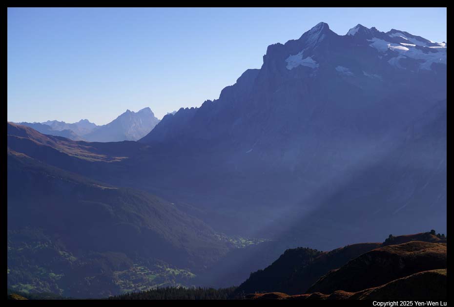
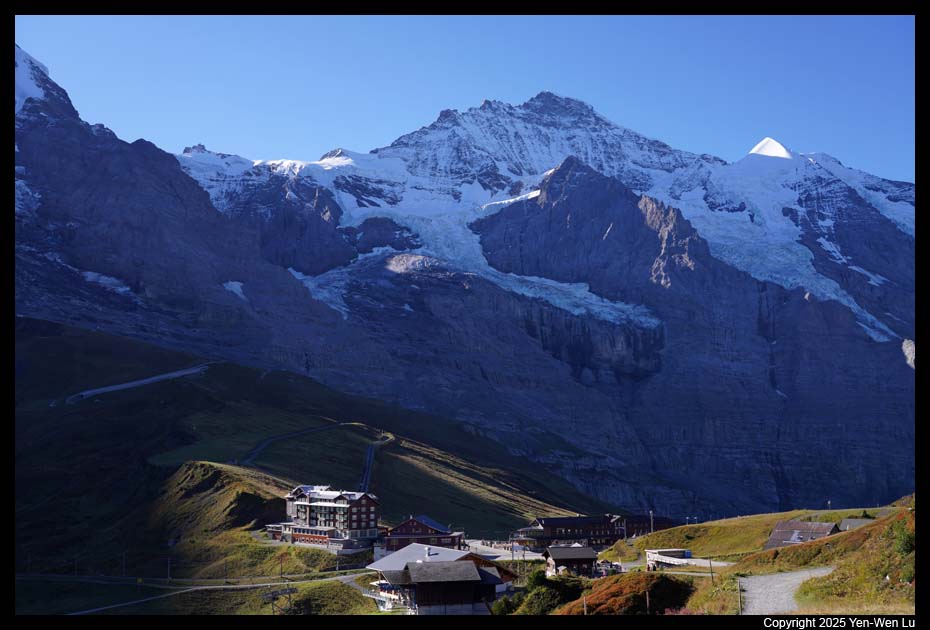
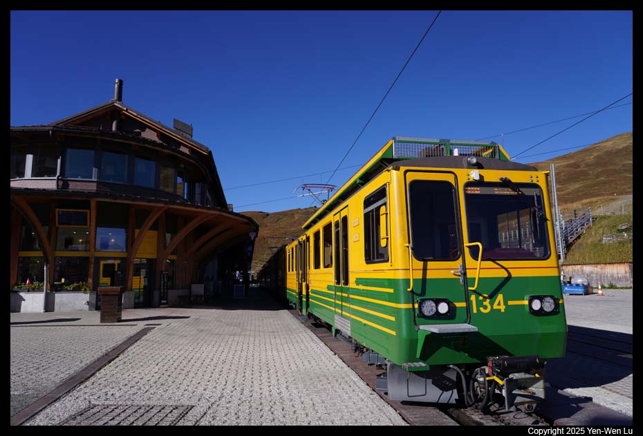
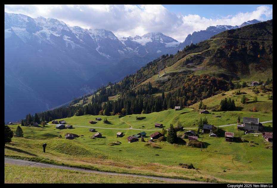
- Gornergrat
We went back to our hotel in Zermatt at about 2:30PM to
pick up our luggage and rushed to the train station (thanks to the hotel
staff to drop us off) to catch the 2:48PM train to Gornergrat, where we will
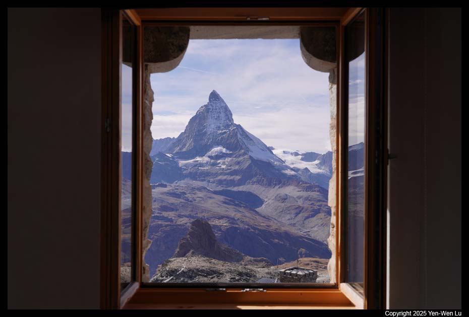
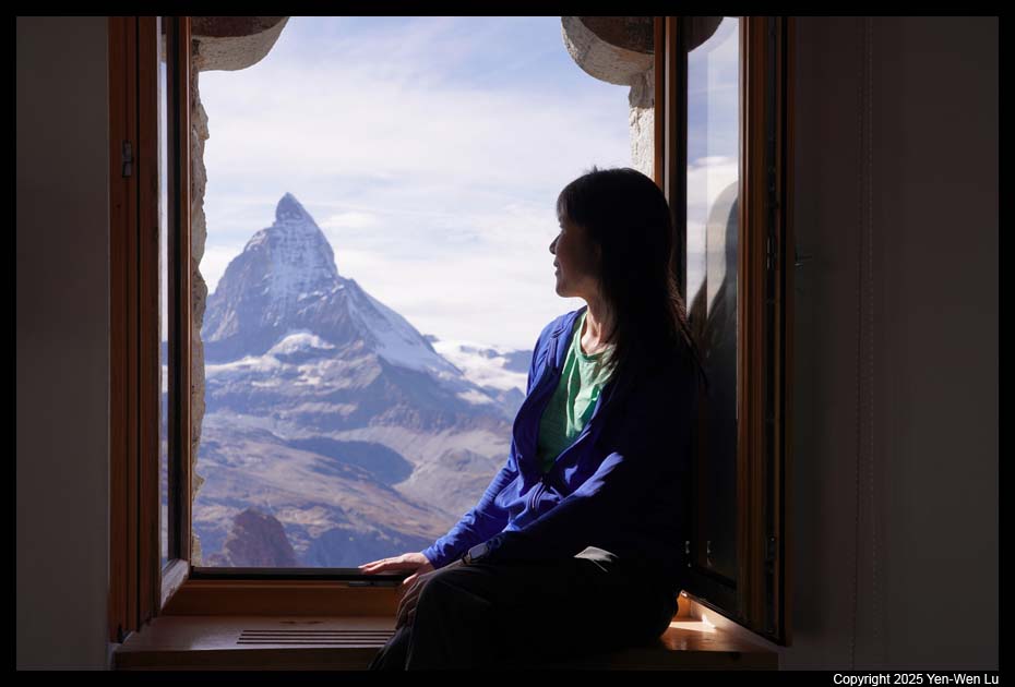
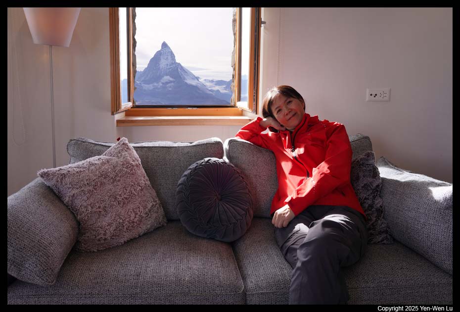
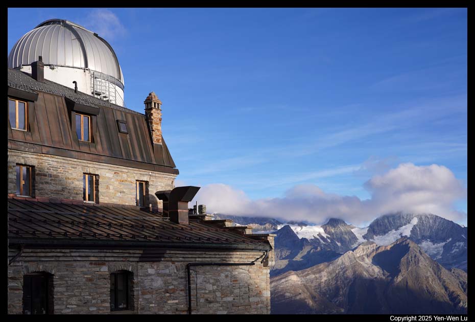
stay for one night at the
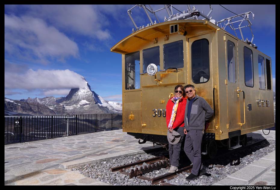
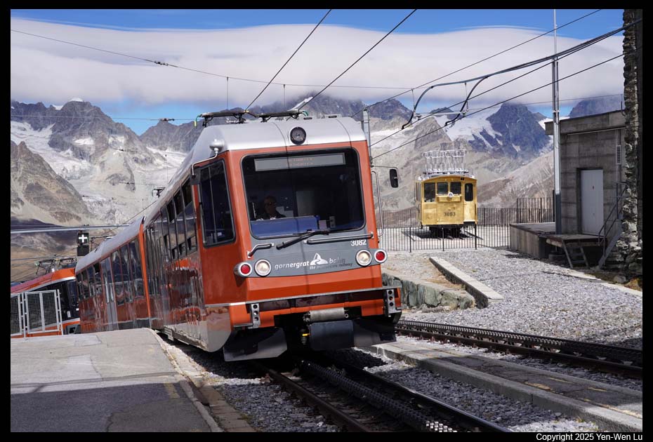
3100 Kulmhotel Gornergrat, the highest hotel (3,120 m (10,240 ft)) in
the Swiss Alps. The Gornergrat train, opened in 1898, which climbs
almost 1,500 m (4,900 ft) through Riffelalp and Riffelberg, is the highest
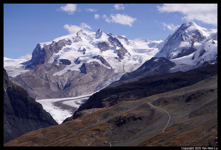
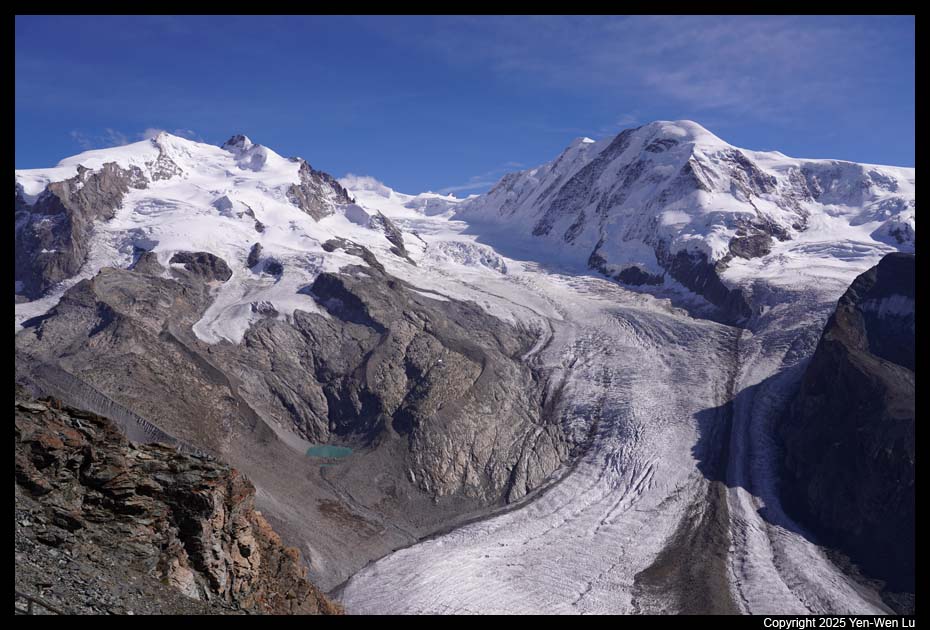
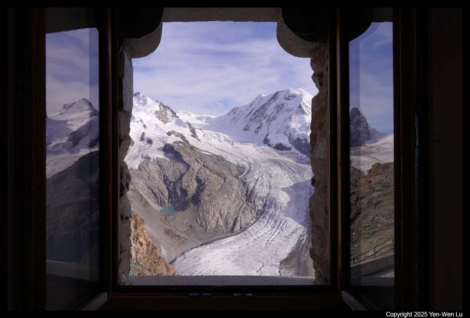
open-air railway in Europe. Gornergrat is located between the
Gornergletscher and Findelgletscher and offers panoramic views of 29
mountains above 4,000 m, including Switzerland’s highest peak Dufourspitze
(in the large Monte Rosa massif) and Matterhorn, and the second largest
glacier in the Alps (Gorner Glacier).
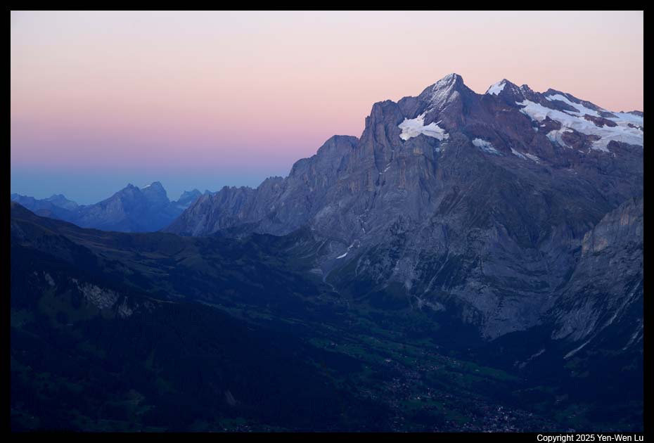
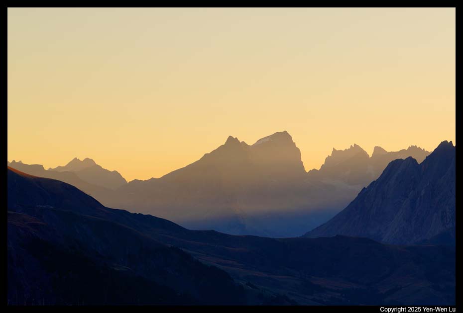
Day 4 (9/17) ...
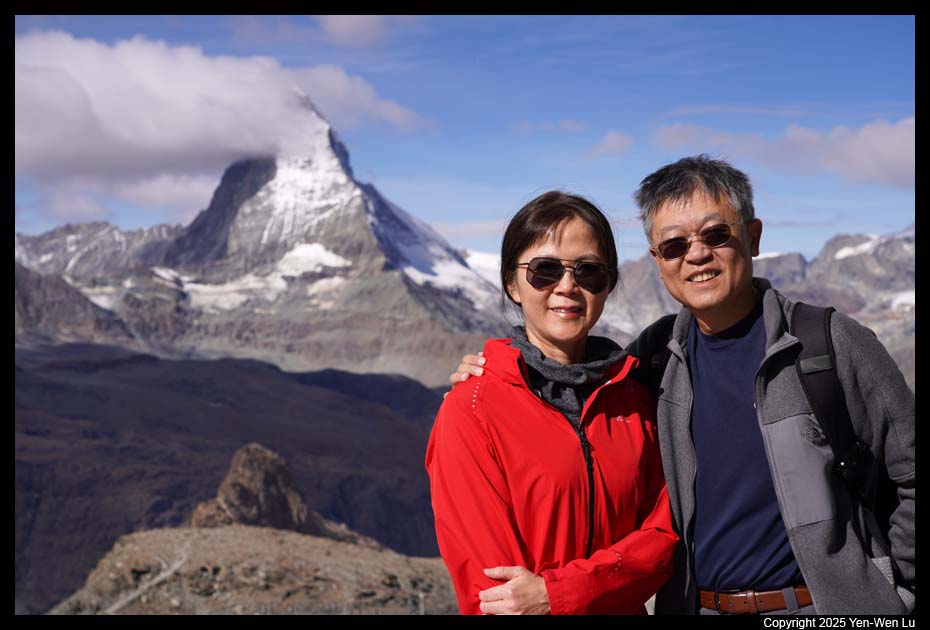
- Gornergrat
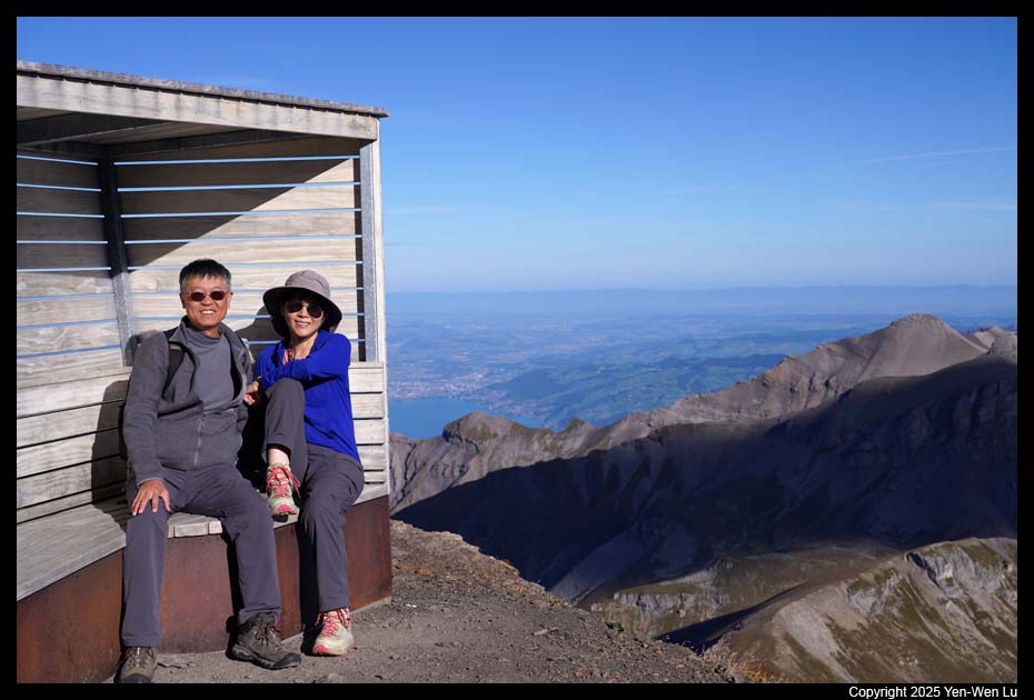
We had a leisure morning to walk around Gornergrat.
I originally planned to hike to Rotenboden (1.6km one-way) to see the
reflection of Matterhorn in Riffelsee during sunrise, but decided to give it
up because there was a lot of cloud at dawn and it was a little bit too cold
for us... Although we did not visit Riffelsee this time, I think I am
happy with the pictures of Matterhorn I had in the past 3 days :-)
After checked out by 11AM, it's time to move on to our
next destination, Jungfrau region, with 5 different train connections (Gornergrat to
Zermatt to Visp to Spiez to Interlaken to Lauterbrunnen).
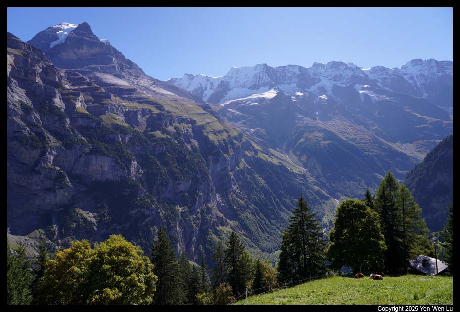
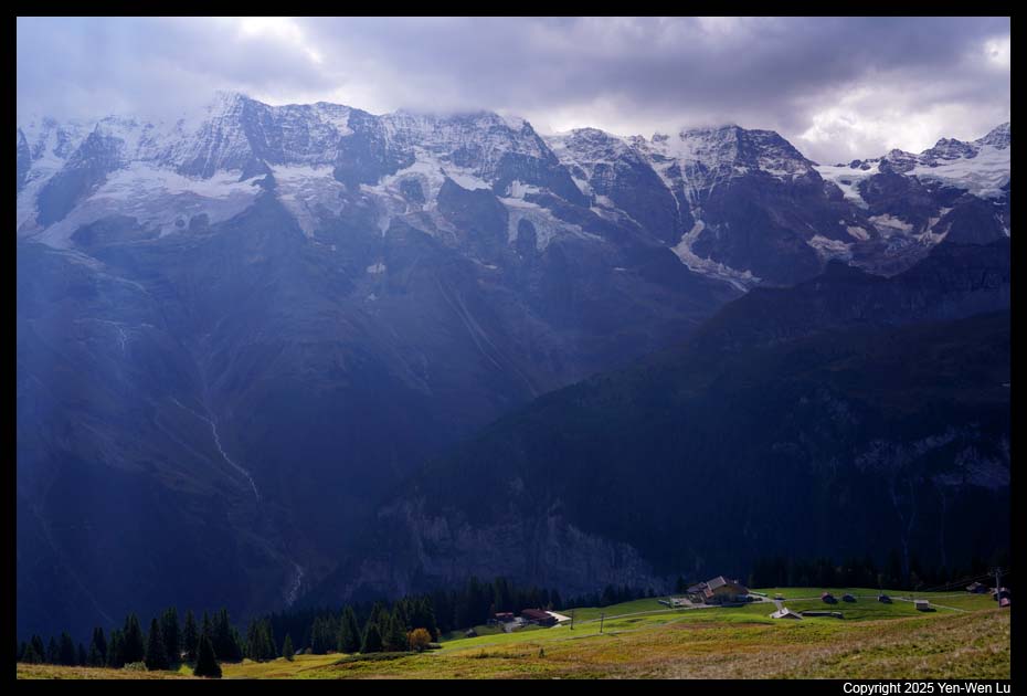
The
Jungfrau Region is a region of the Bernese
Oberland, at the foot of the Bernese Alps. It consists of two valleys south of
Interlaken: Grindelwald Valley and Lauterbrunnen Valley. The Jungfrau
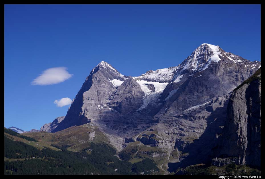
Region is named after the highest mountain in the area: the Jungfrau. It is also
notably dominated by the Eiger and Mönch.
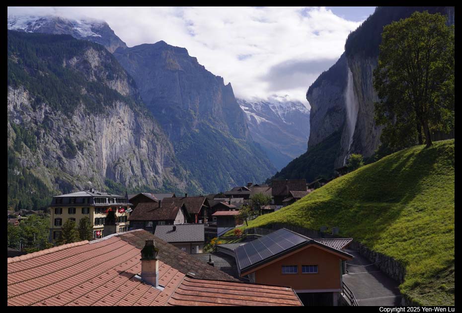
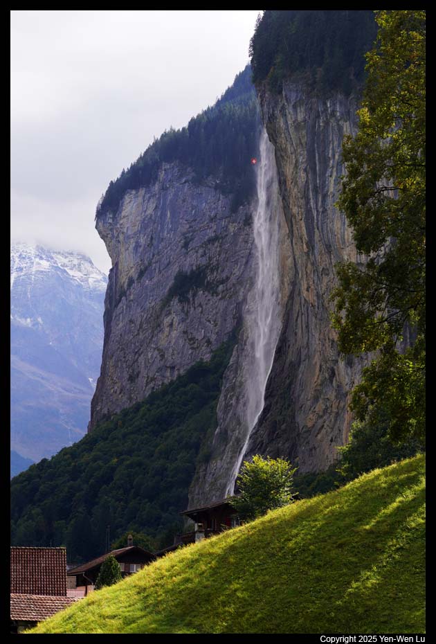
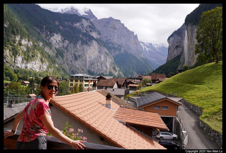
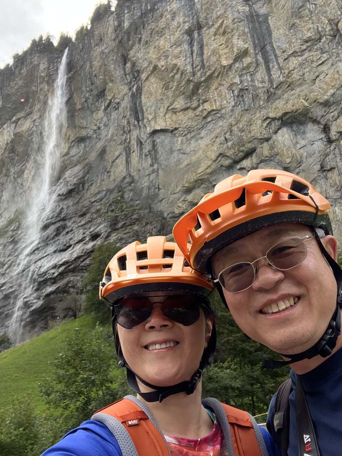
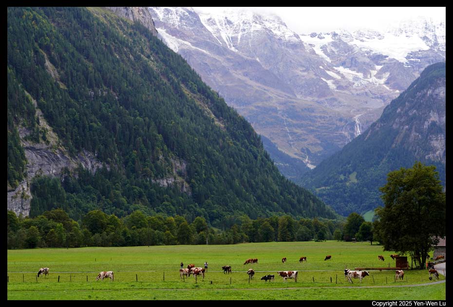
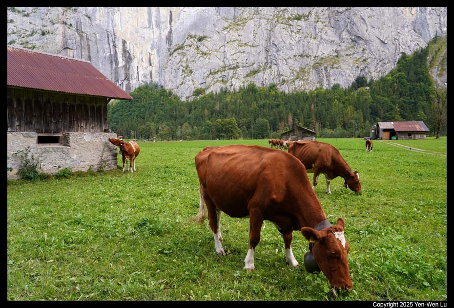
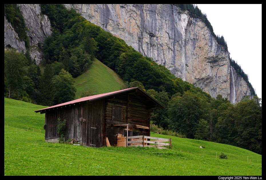
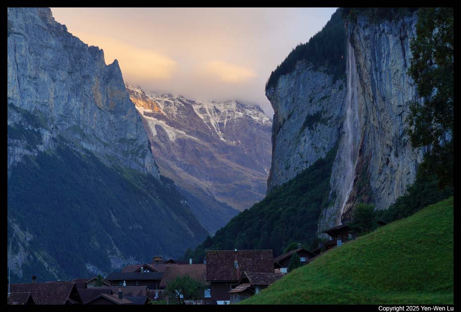
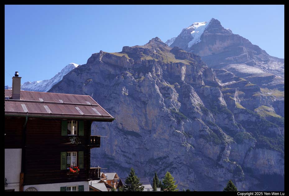
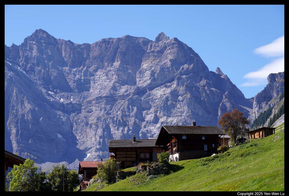
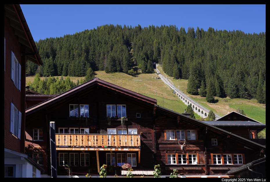
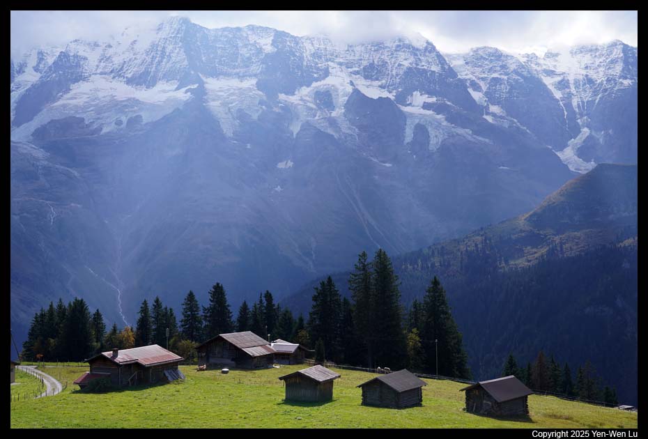
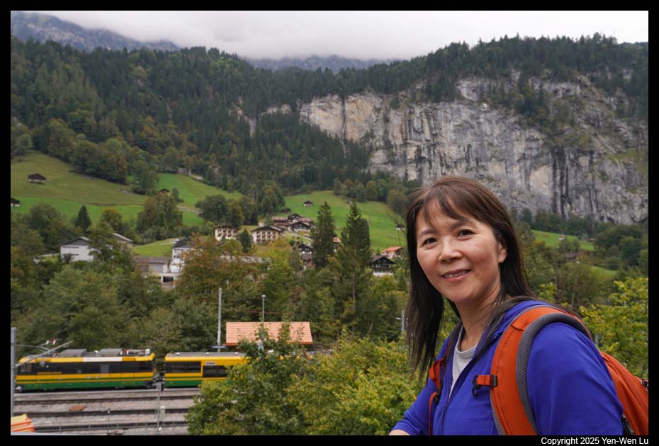
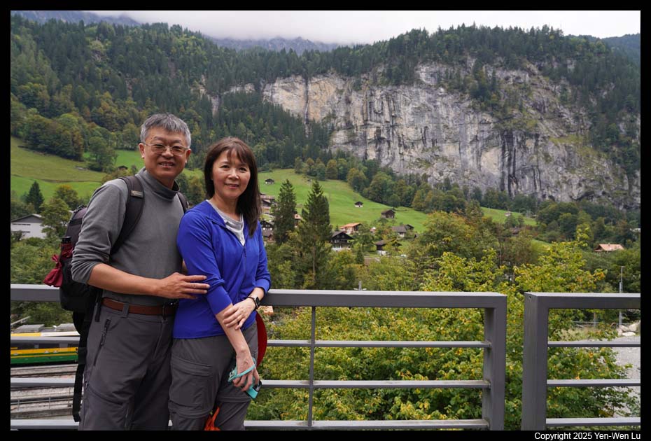
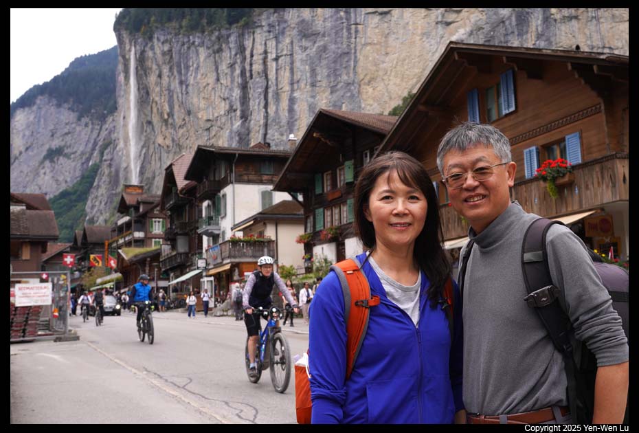
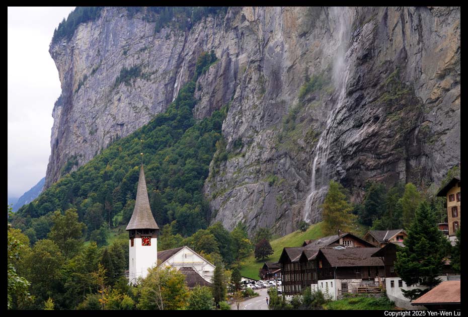
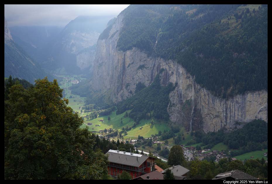
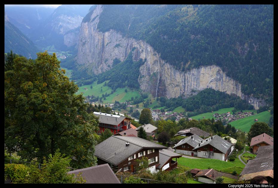
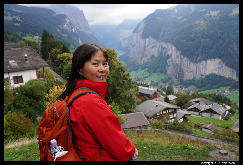
- Lauterbrunnen
Lauterbrunnen lies at the bottom of a U-shaped valley
that extends south and then south-westwards from the village to meet the
8-kilometer (5.0 mi) Lauterbrunnen Wall. The Lauterbrunnen Valley is
one of the deepest in the Alpine chain. It is a true cleft, rarely
more than one kilometer in width, between limestone precipices, sometimes
quite perpendicular and everywhere of extremely steep. In places the cliff
walls are up to 1,000 m (3,300 ft) high. The village gets its name –
Lauter Brunnen (loud springs) – from the 72 waterfalls that can be found in
the valley, including its landmark 297 m (974 ft) high Staubbach, the
highest free-falling waterfall in Switzerland. Also near Lauterbrunnen is
the highest waterfall in Switzerland, the 417 m (1,368 ft) Mürrenbach Fall.
Finally, the Mattenbachfall (cascade waterfall) with a height of 930 meters
is Europe's highest waterfall.
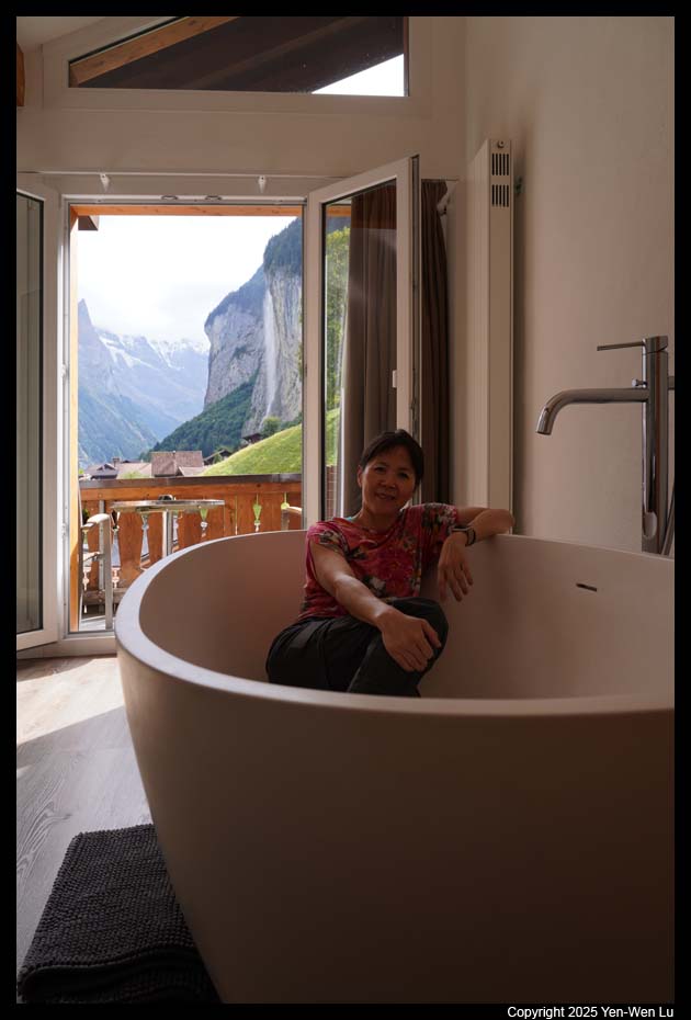
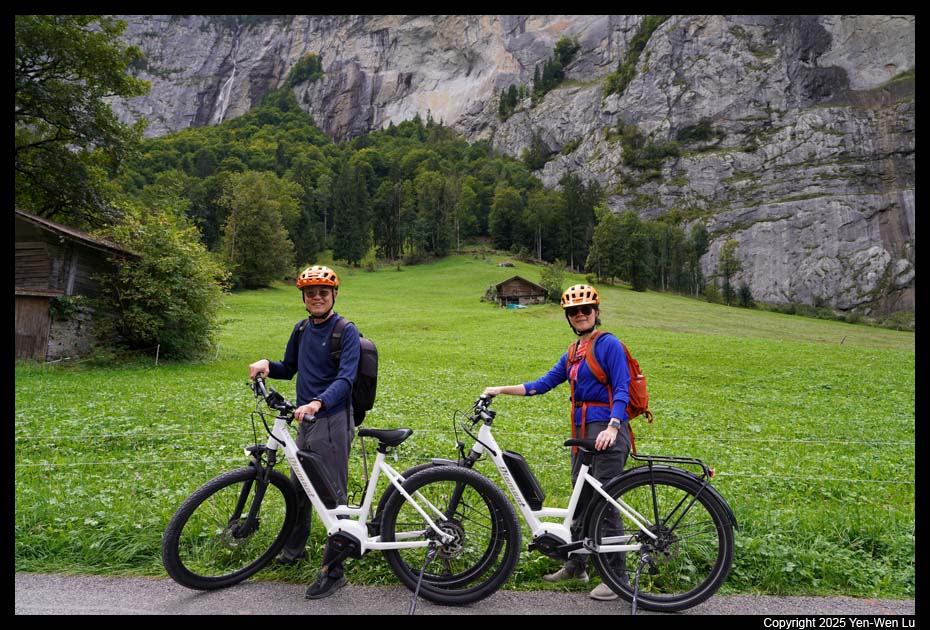
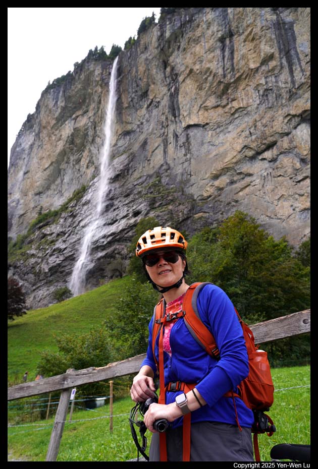
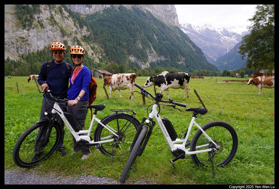
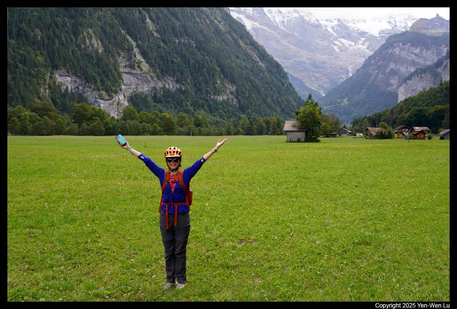
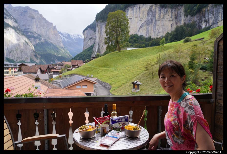
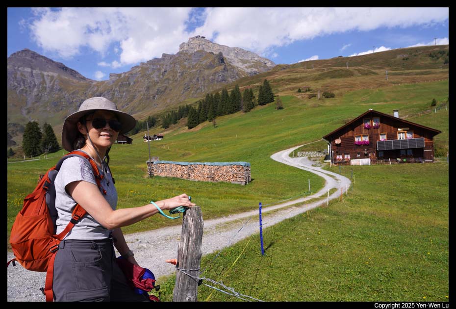
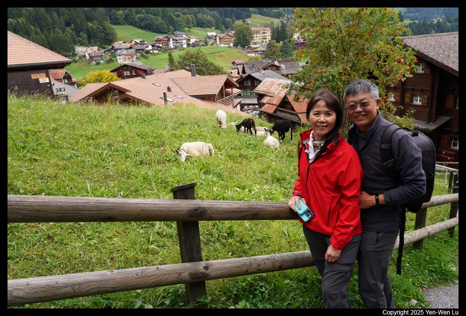
After checked in our hotel (Hotel
Silberhorn), we went to rent e-bikes to have a nice and easy ride in the
beautiful valley.
Day 5 (9/18) ...
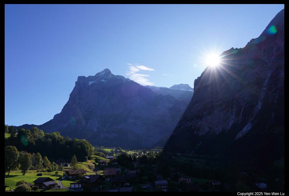
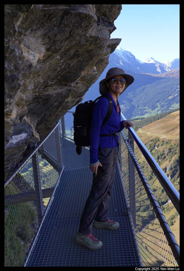
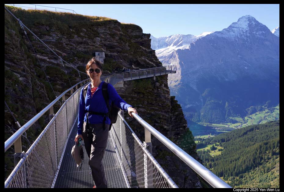
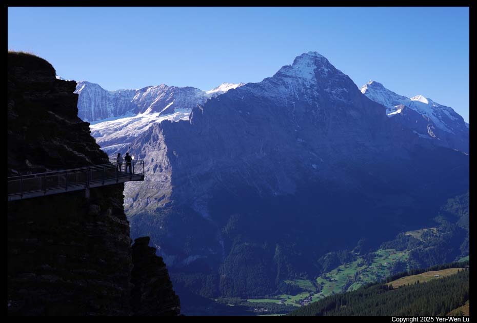
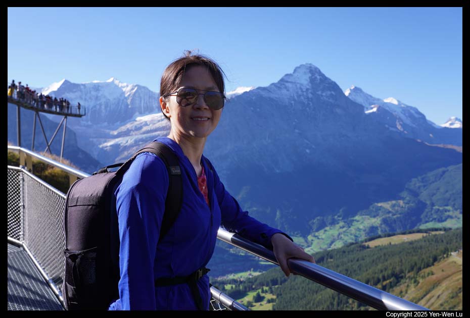
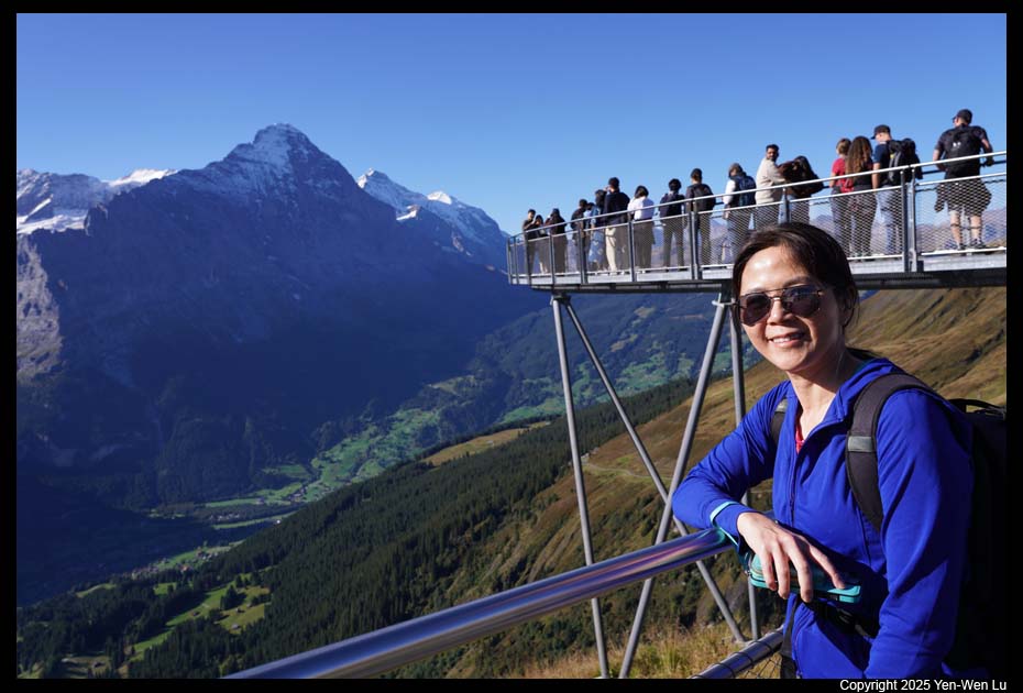
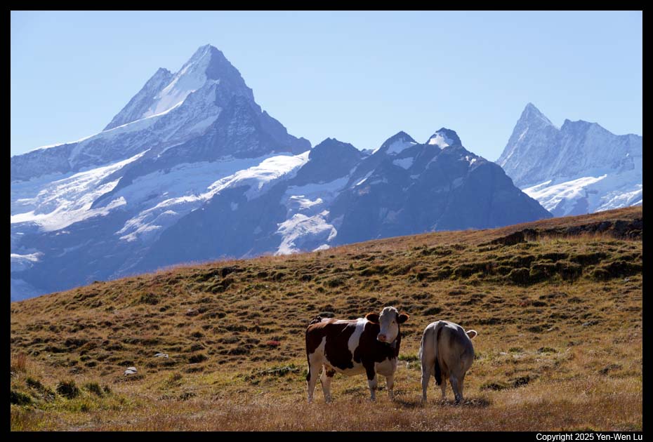
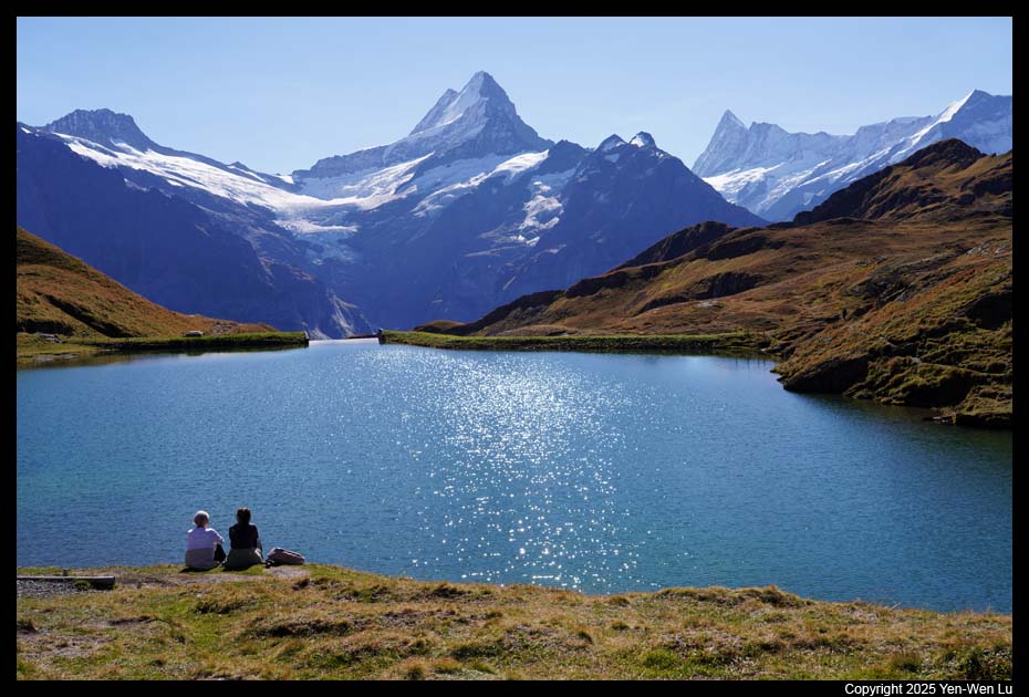
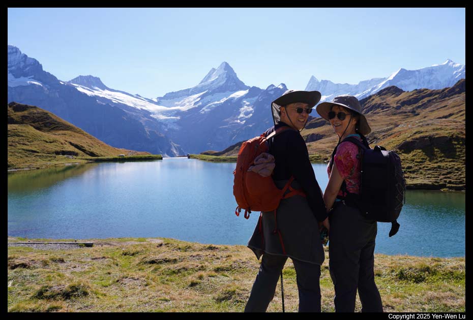
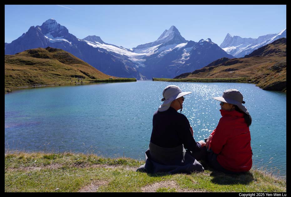
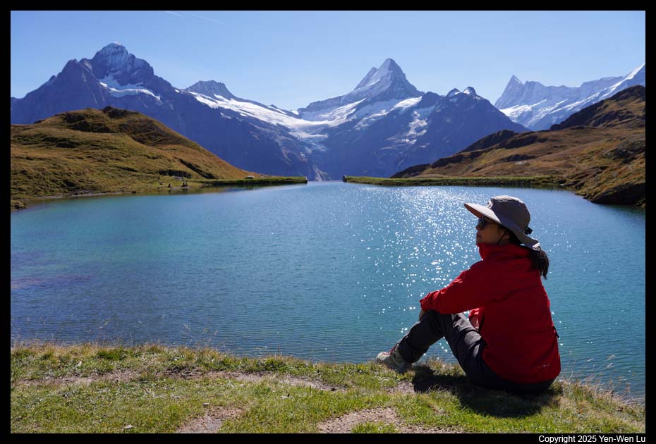
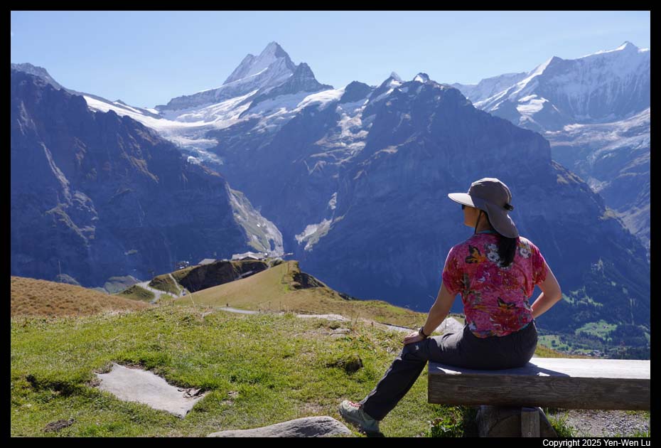
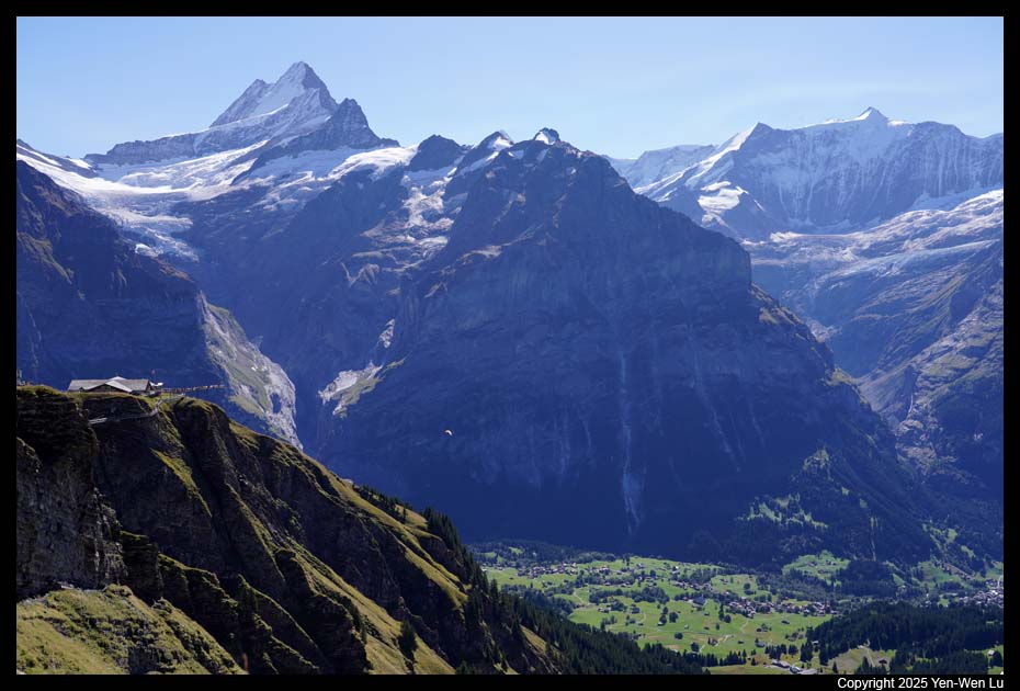
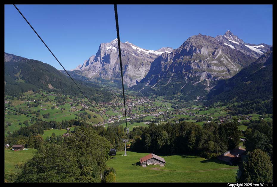
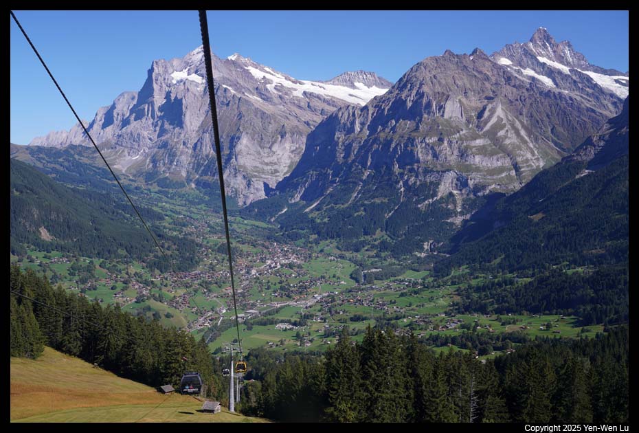
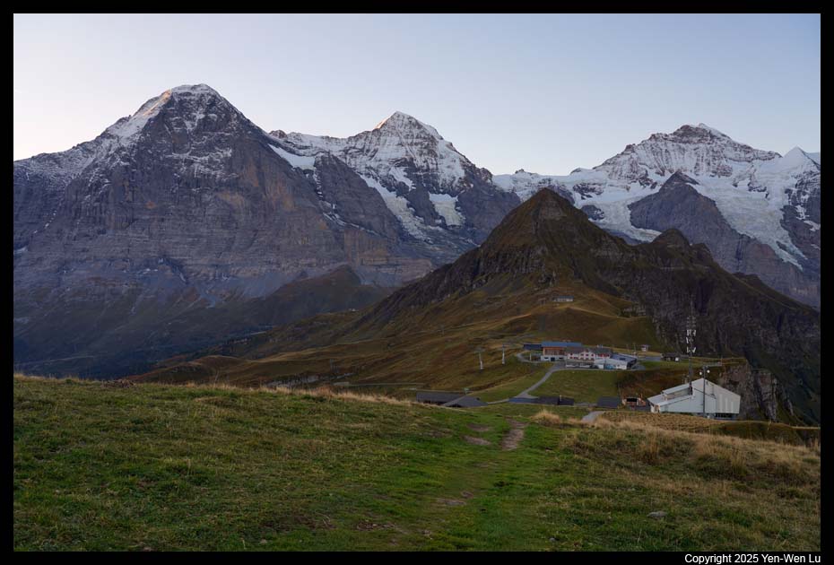
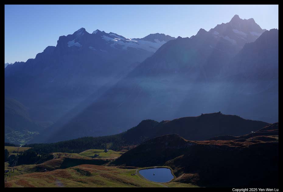
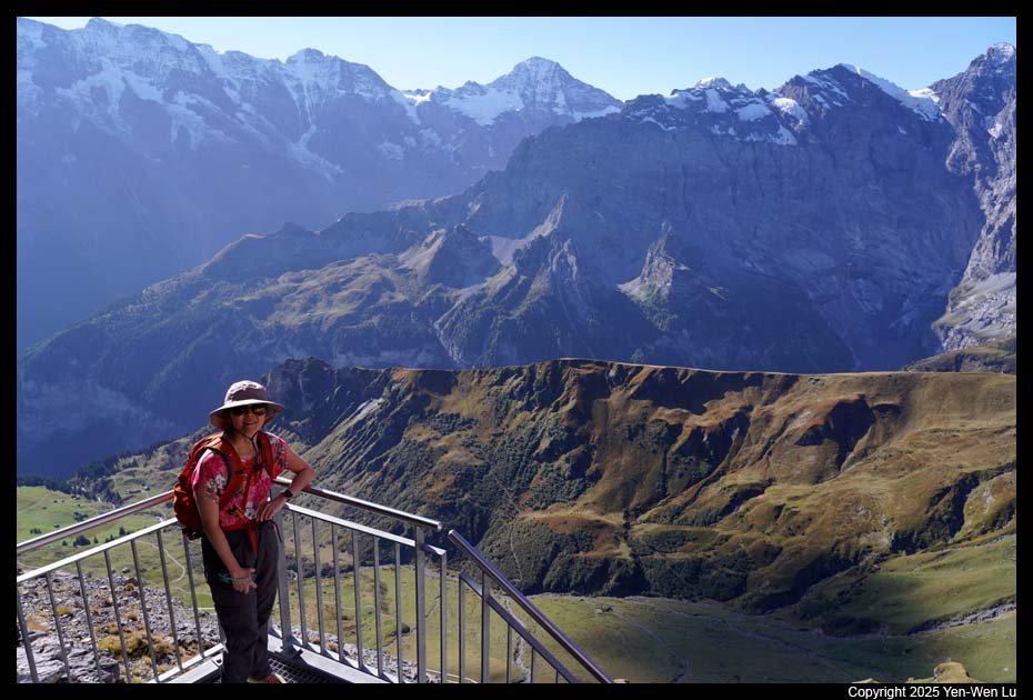
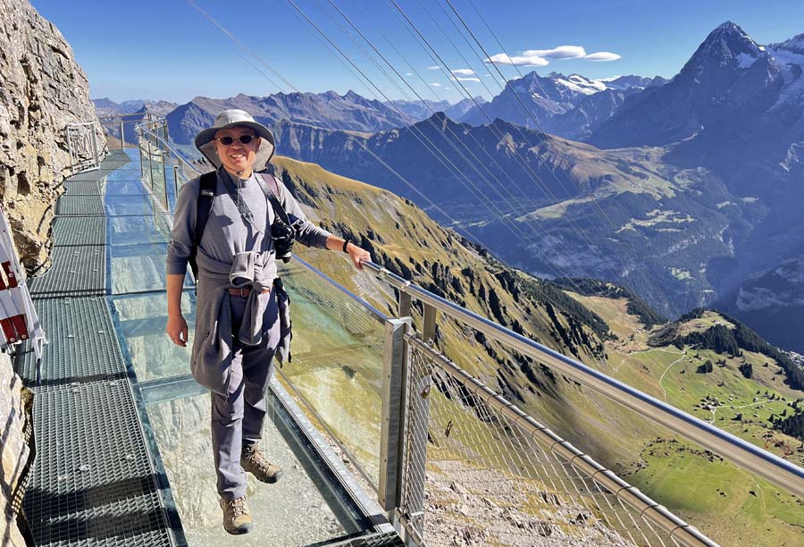
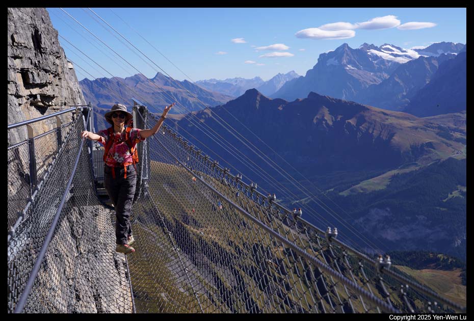
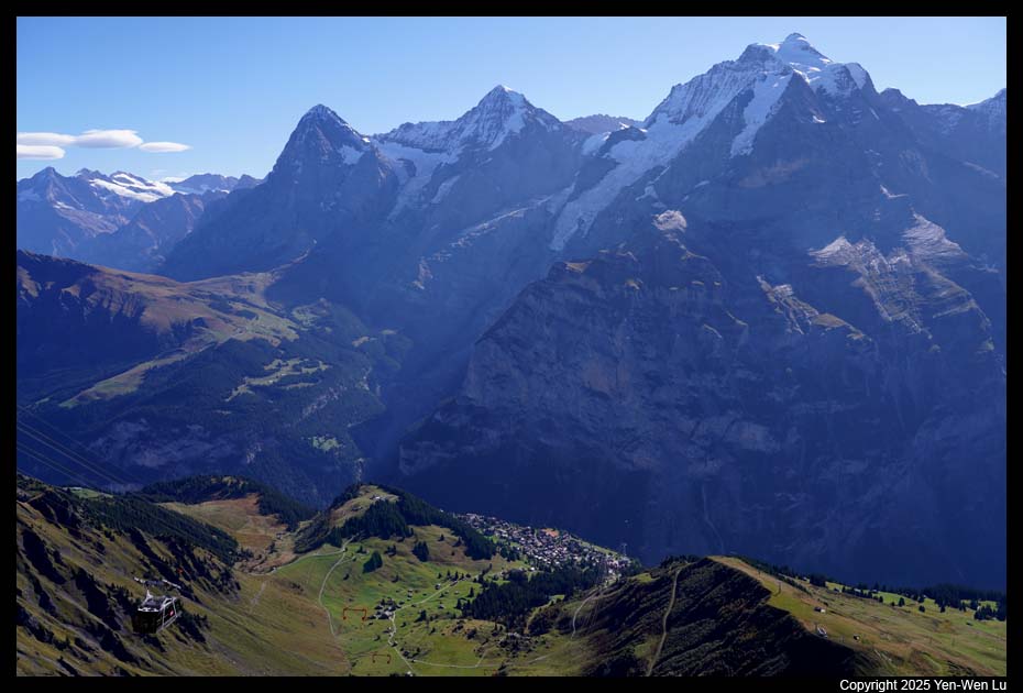
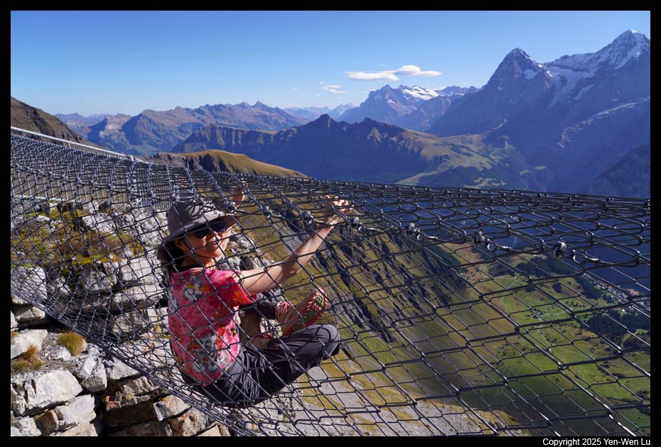
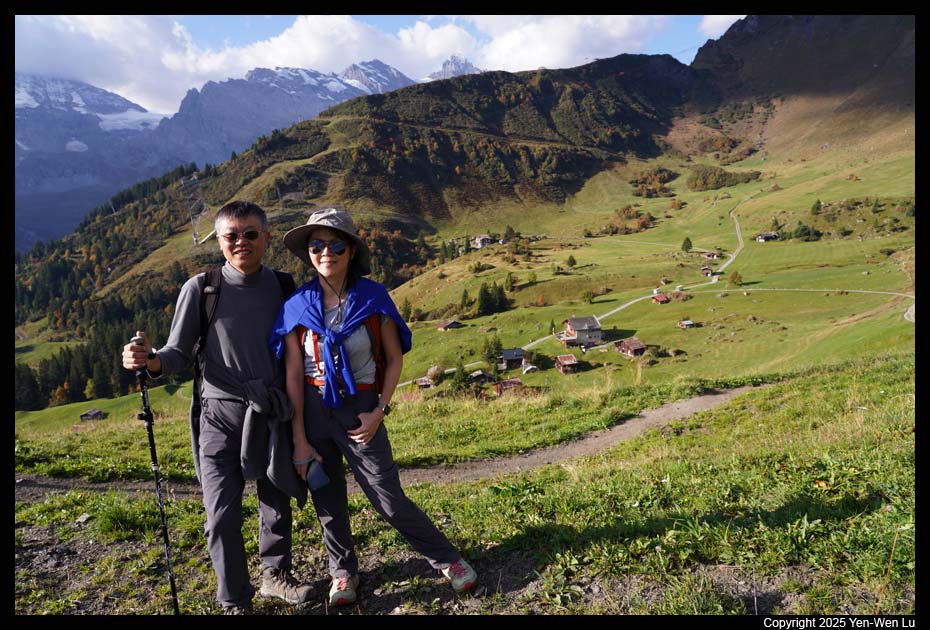
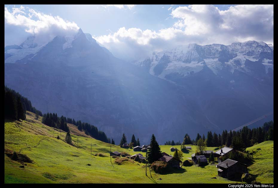
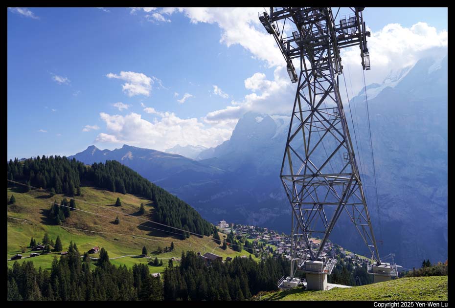
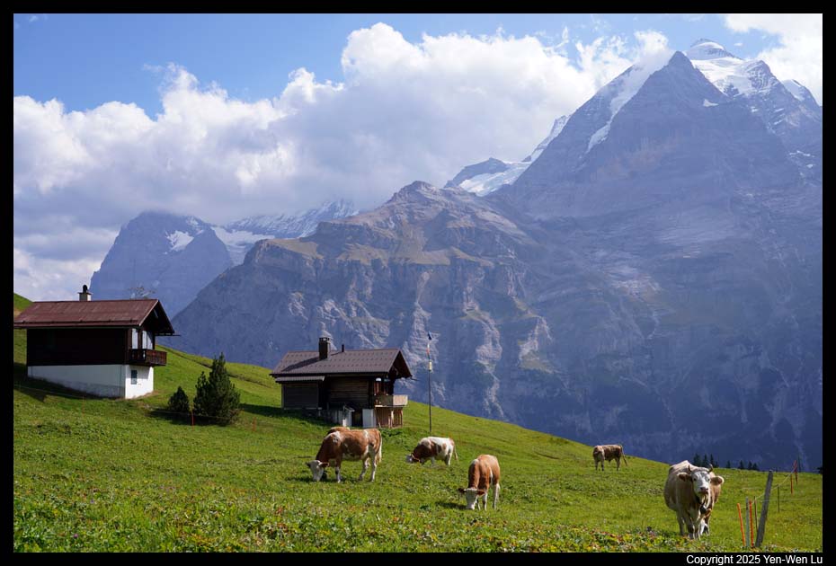
- First, Grindelwald
We took a train from Lauterbrunnen to Grindelwald,
and then a cable car up to First, 2168 meters above sea level and a hotspot
for adventure in summer. There are many attractions at First (First
Flyer, Glider, Mountain Cart, and Trottibike, etc.). We were not
interested in these attractions this time. We just walked through the
First Cliff Walk, metal walkways and platforms that are bolted onto the
cliffs, and started to hike to Bachalpsee.
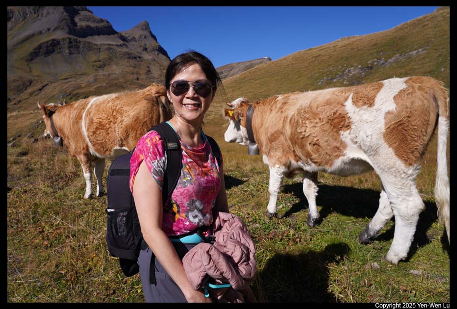
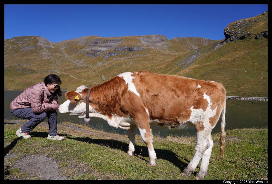
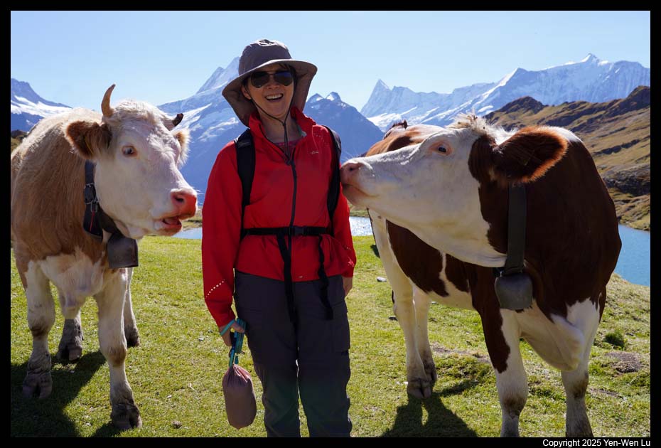
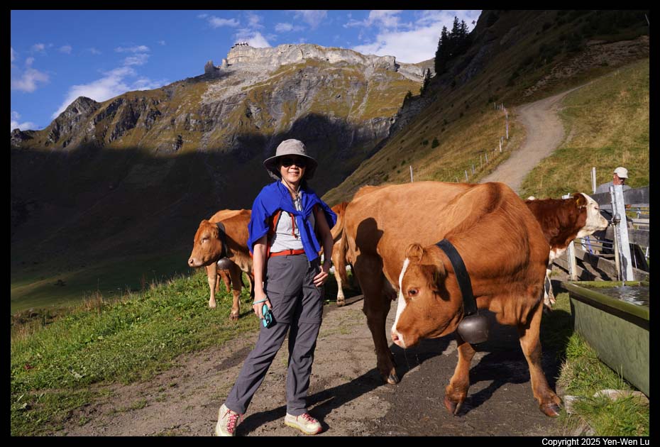
- Bachalpsee
Bachalpsee is a small but very pretty alpine lake.
It's about 3.9-mile hike (round-trip) from First. The trail was easy
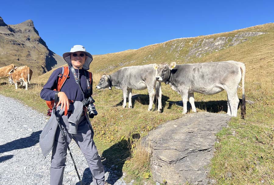
and crowded (many hikers and many cows). While we were eating our
lunch (instant rice bowls) by the lake, a cow came to chew on the strip of
my hiking stick.
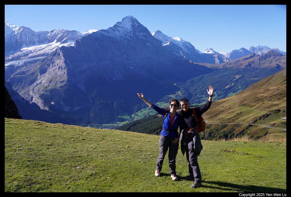
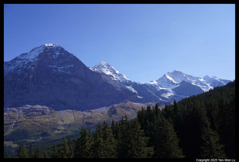
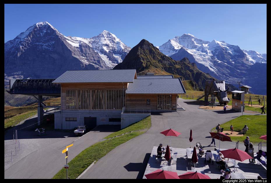
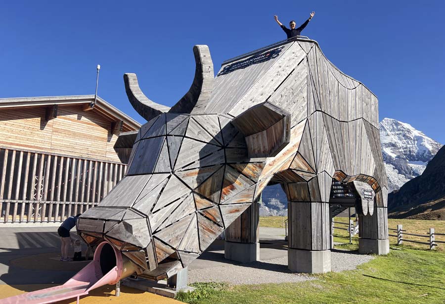
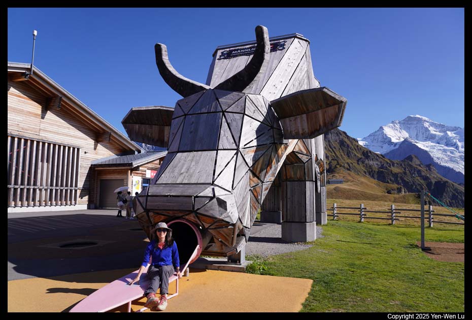
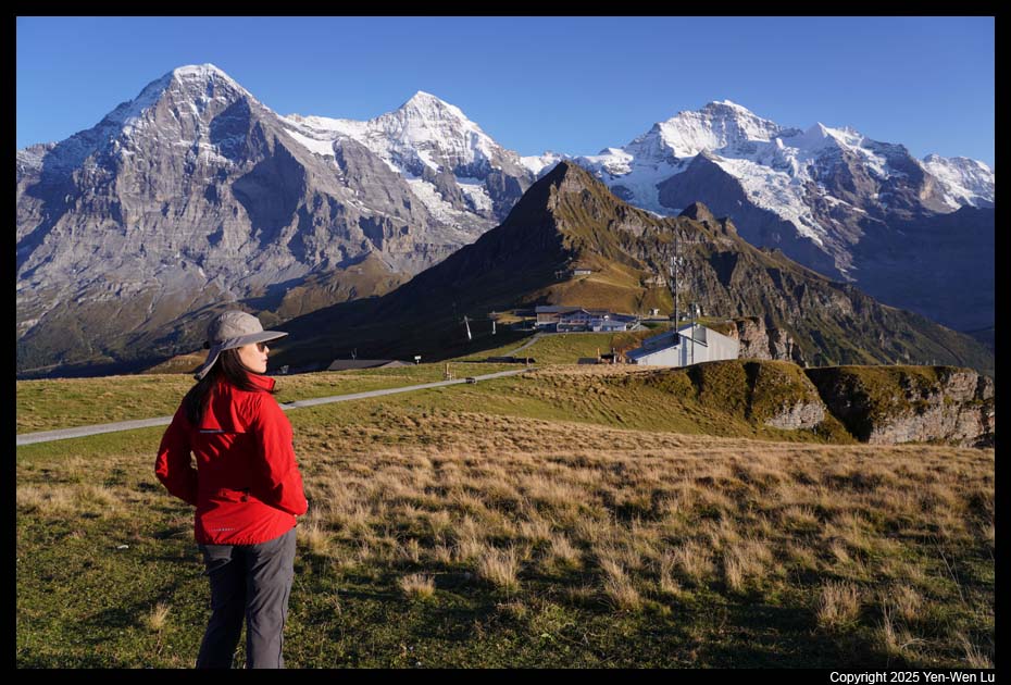
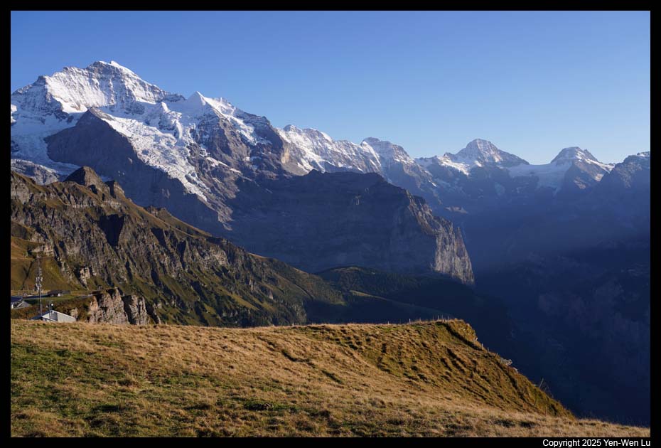
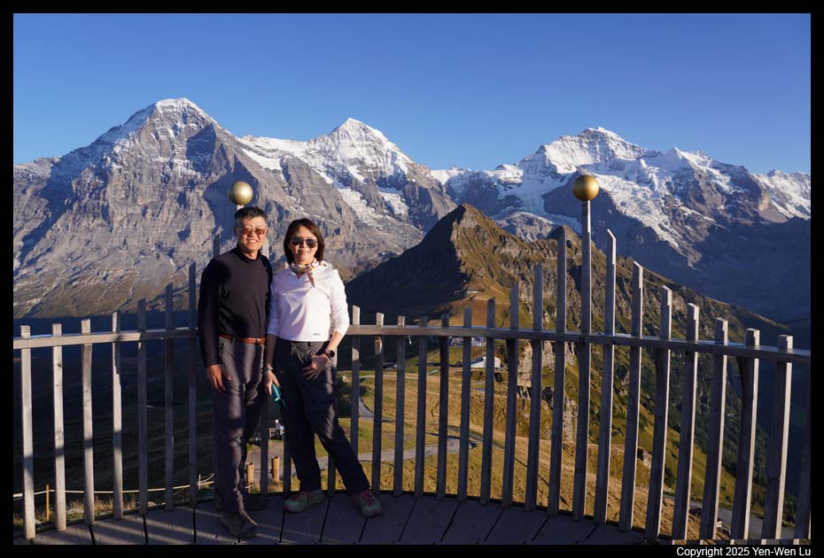
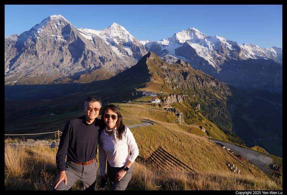
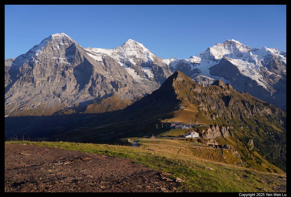
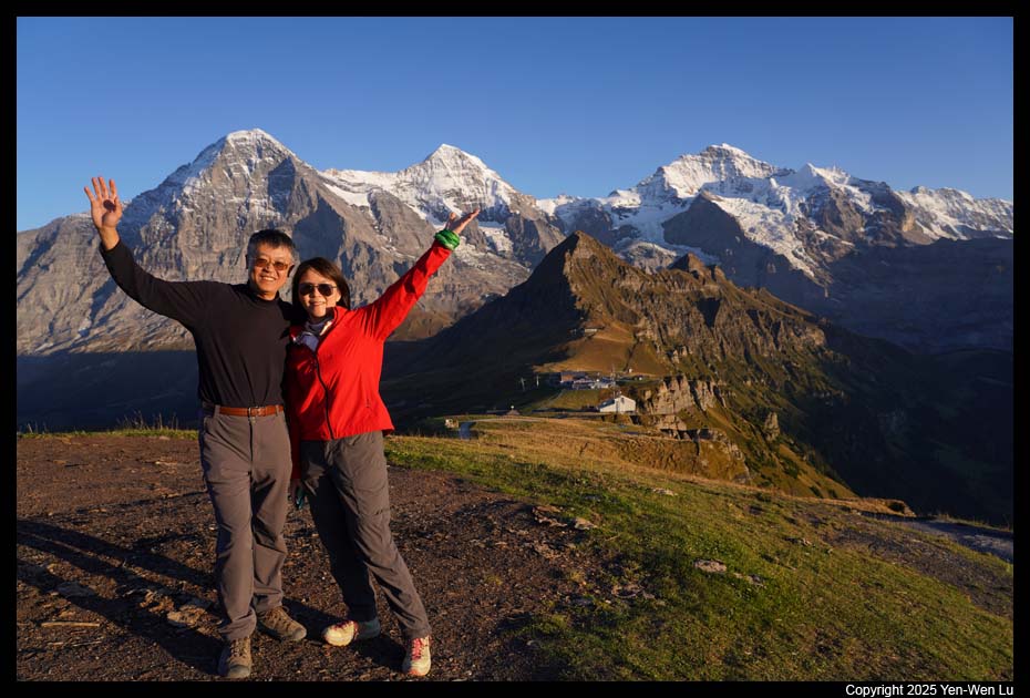
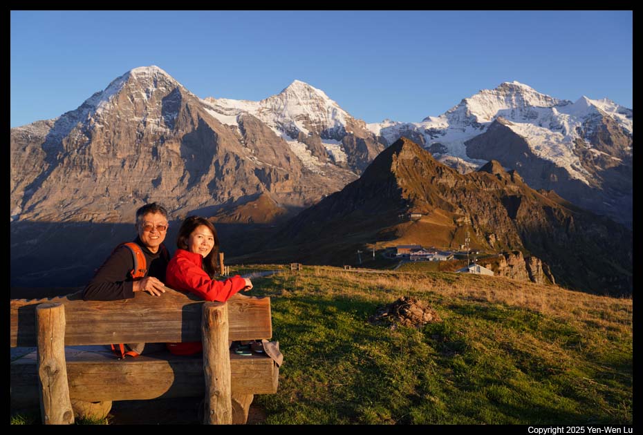
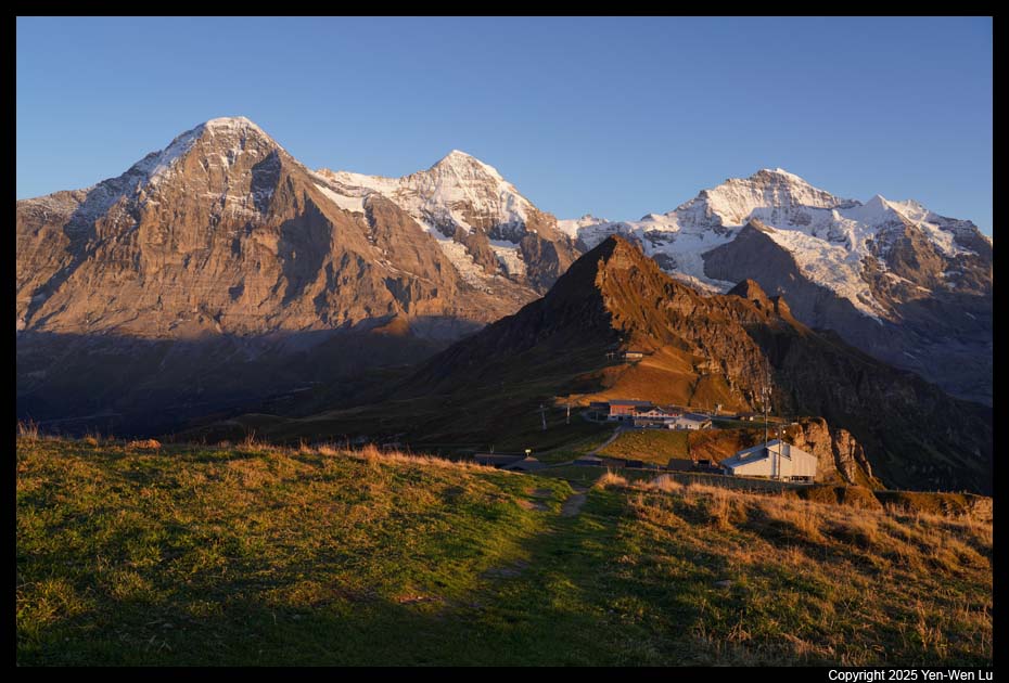
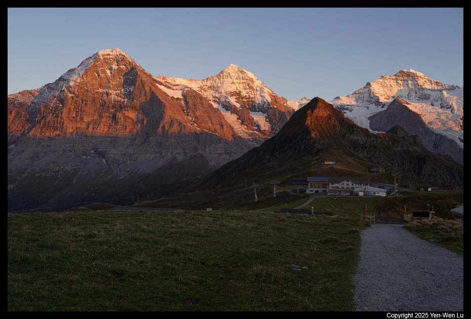
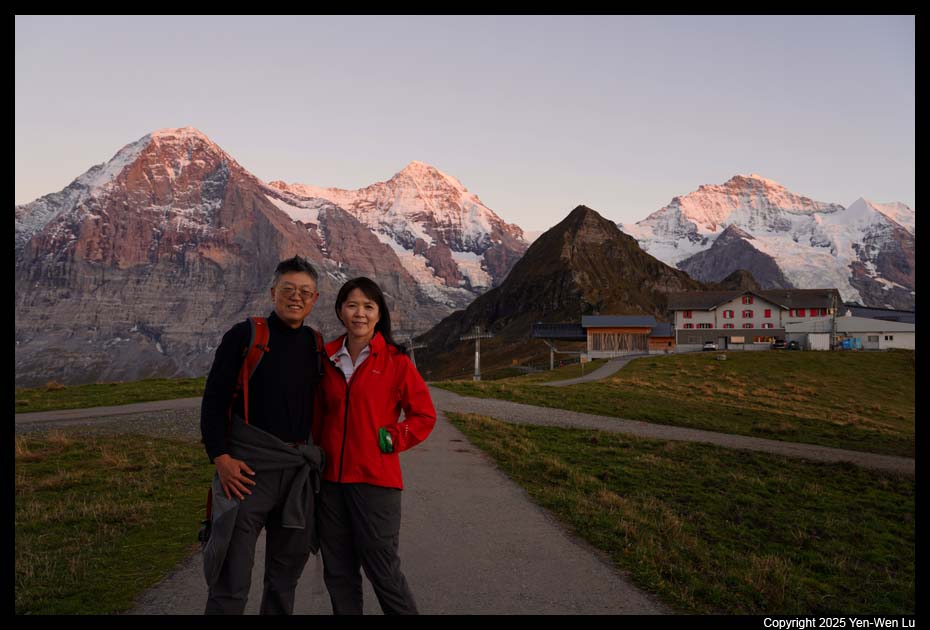
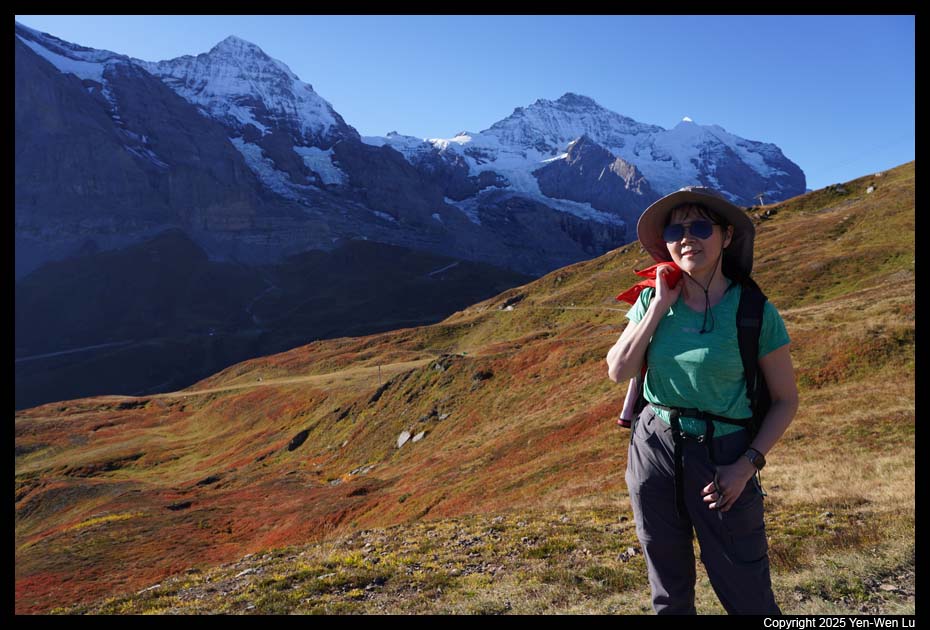
- Männlichen
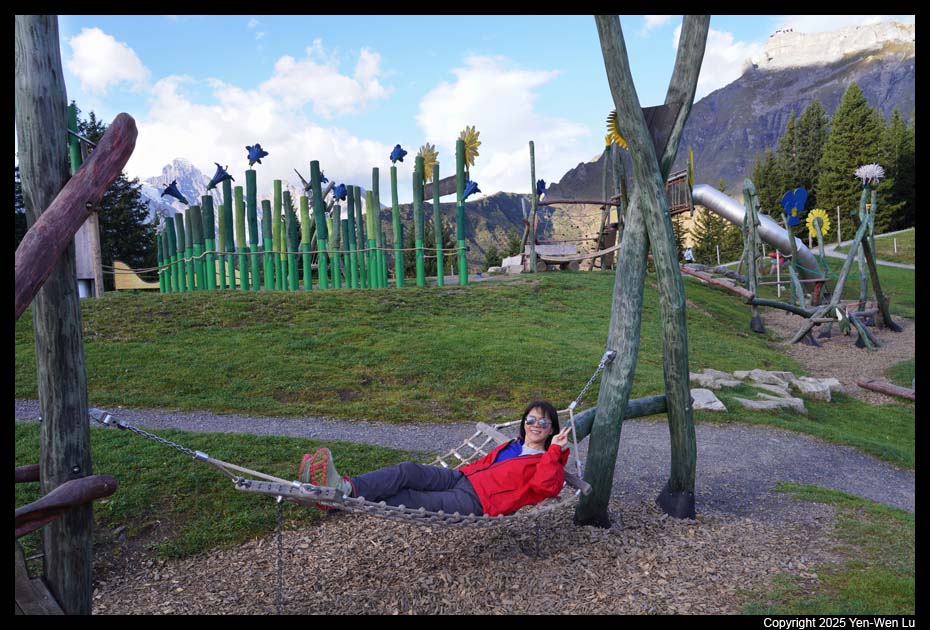
We took the gondola cableway from Grindelwald Terminal to
Männlichen. Männlichen has a nice playground and fantastic view of the
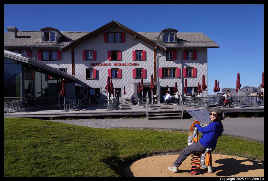
Eiger, Mönch and Jungfrau. We were going to stay one night
at Berghaus
Männlichen (we left our luggage in Lauterbrunnen and only had our
backpack with us today) so we could enjoy the quiet moments in the mountain.
After the cable cars (from Grindelwald and from Wengen) stopped operating at
about 5:30PM, there were no day tourists coming to Männlichen anymore.
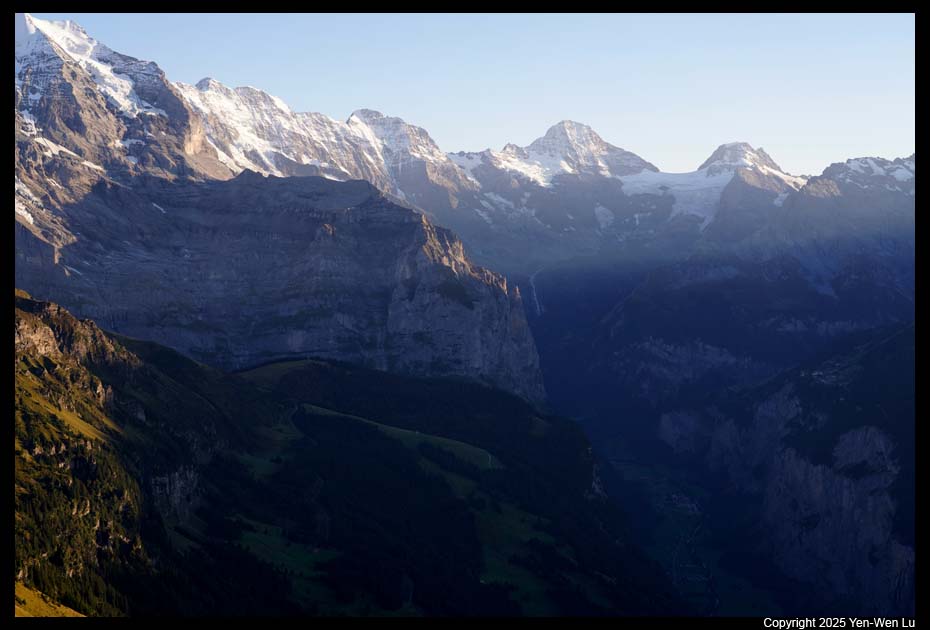
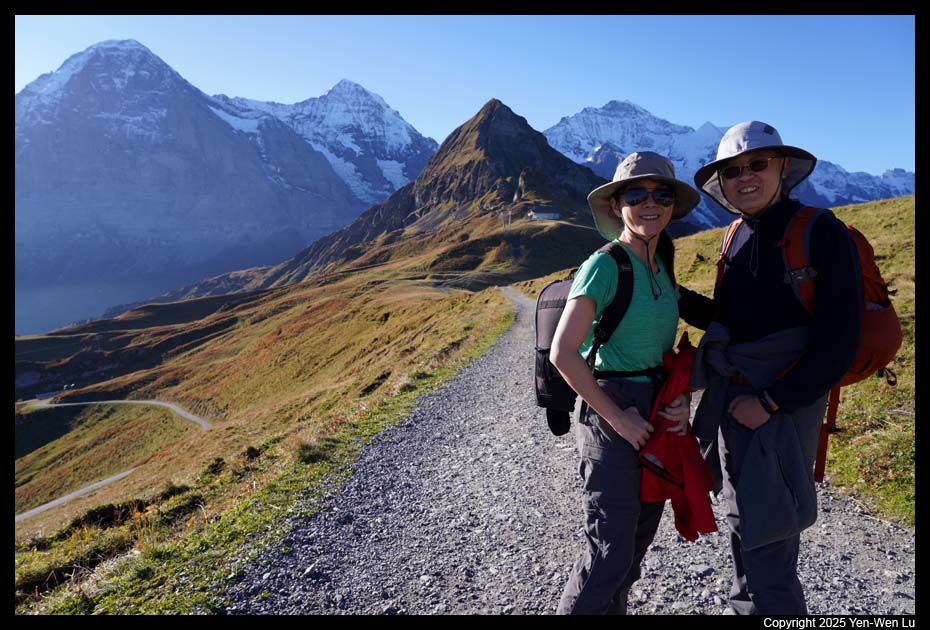
We went to the "Royal Walk" to the Männlichen summit
before sunset. It has the panoramic views of the Eiger, Mönch and Jungfrau
mountains, and also views of Grindelwald Valley and Lauterbrunnen Valley.
We stayed after sunset and went back to the hotel before 8PM just in time for
the dinner (before the kitchen closed).
Day 6 (9/19) ...
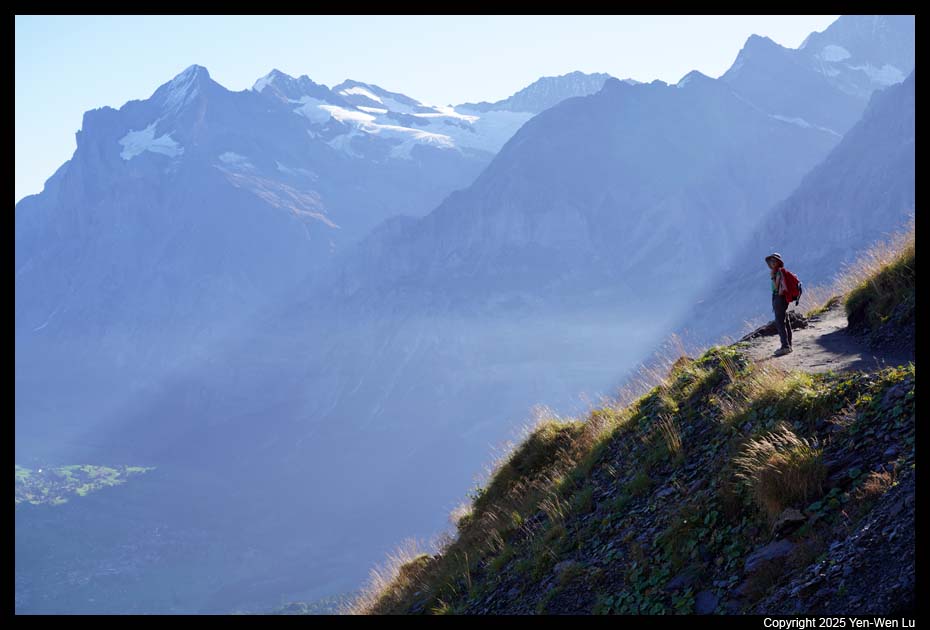
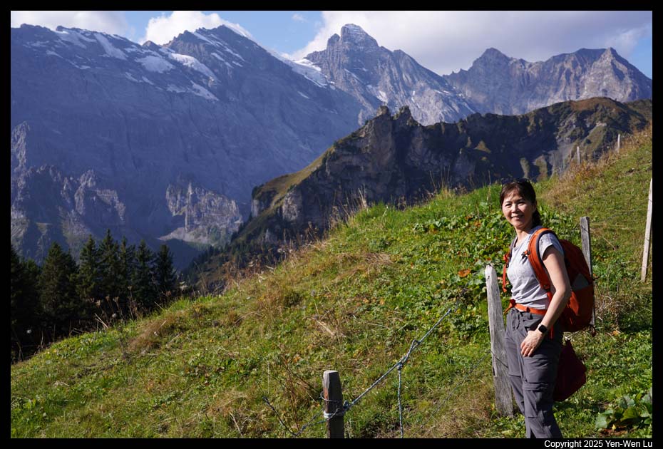
- Männlichen - Klein Sheidegg (Panorama Trail)
We checked out of the
hotel and started to hike at about 8:40AM. The Panorama Trail from
Männlichen to Klein Sheidegg is about 2.9 miles with mostly flat or
downhill. Although it offers spectacular views of the mountain peaks
of Eiger, Mönch, and Jungfrau, the trail is mainly toward south-east so we
were constantly facing the rising sun in the morning. When we
were getting closer to Klein Sheidegg, we thought we could hide behind the
shade of Eiger. But the sun was rising quickly. The shadow of
Eiger was retreating faster than we could walk so we were never be able to
reach the shade...
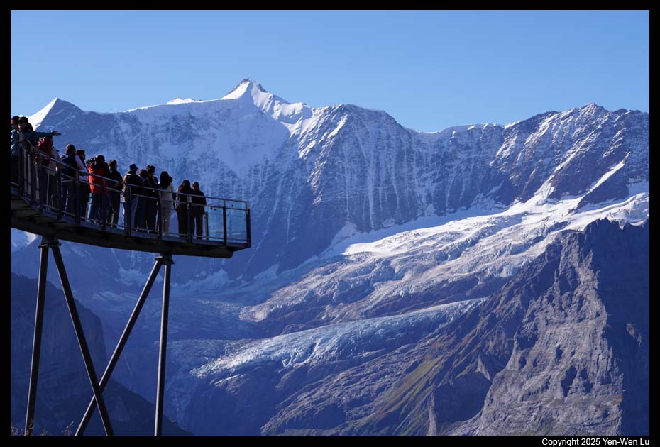
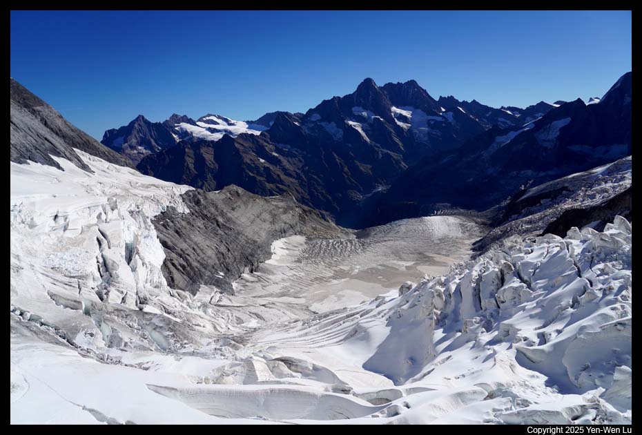
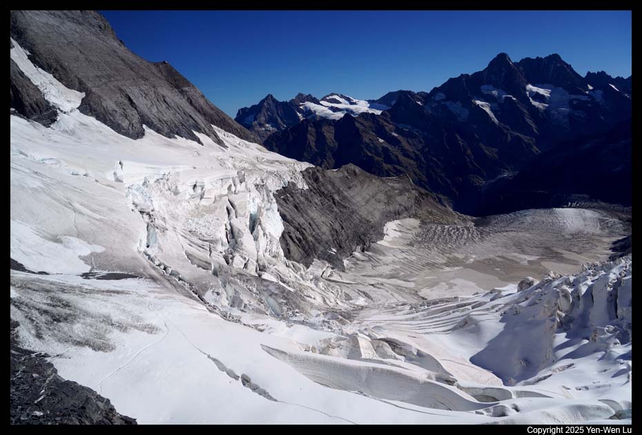
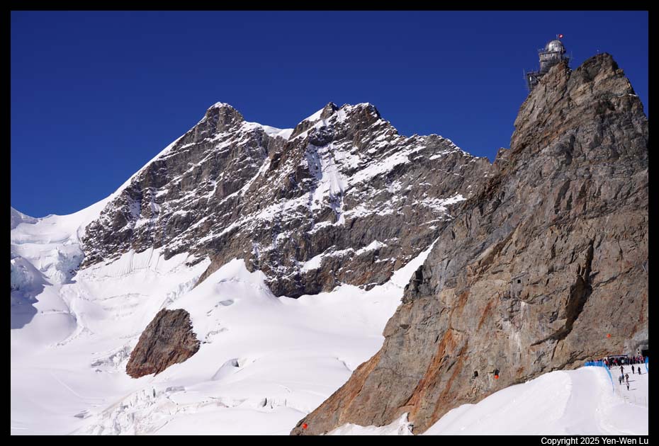
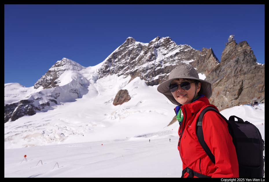
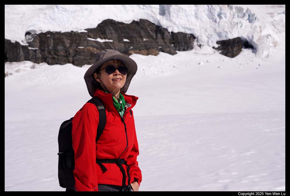
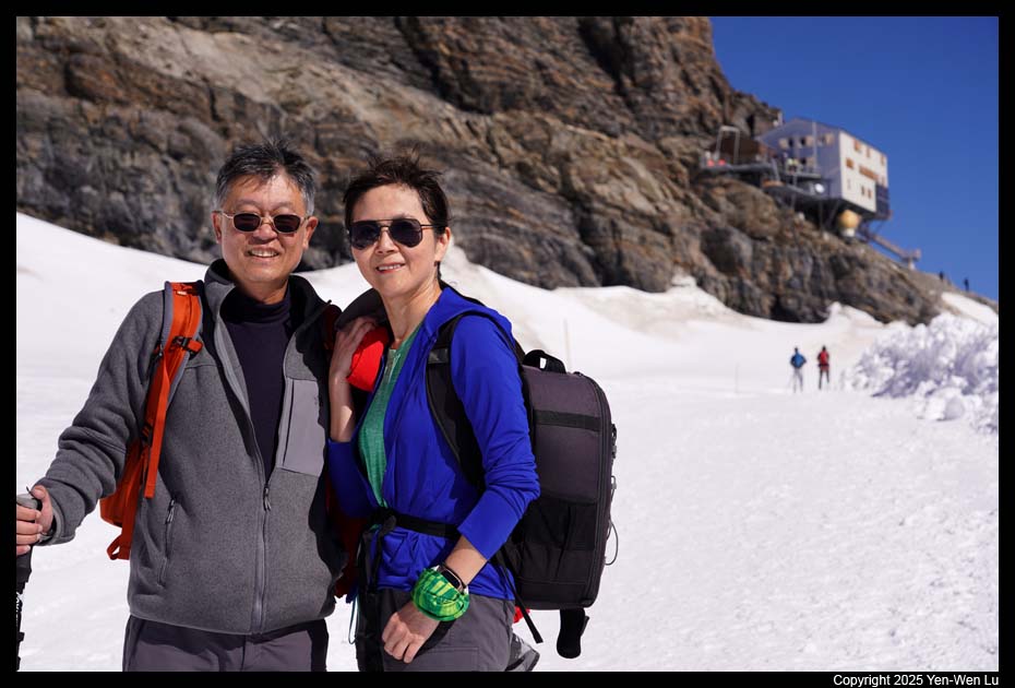
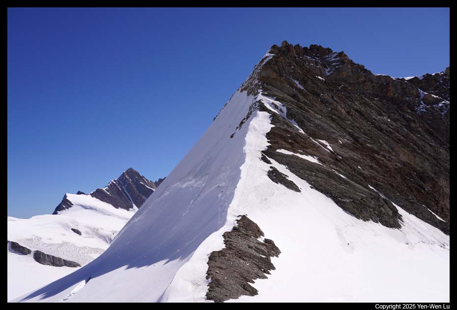
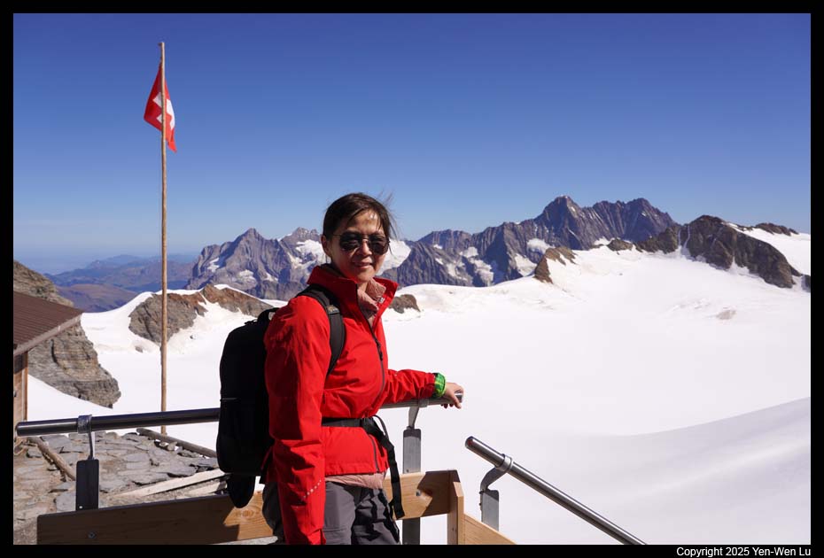
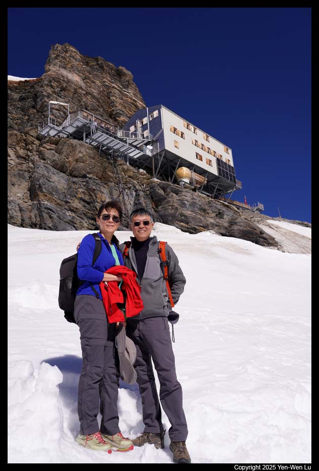
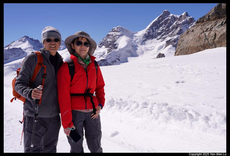
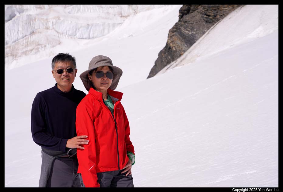
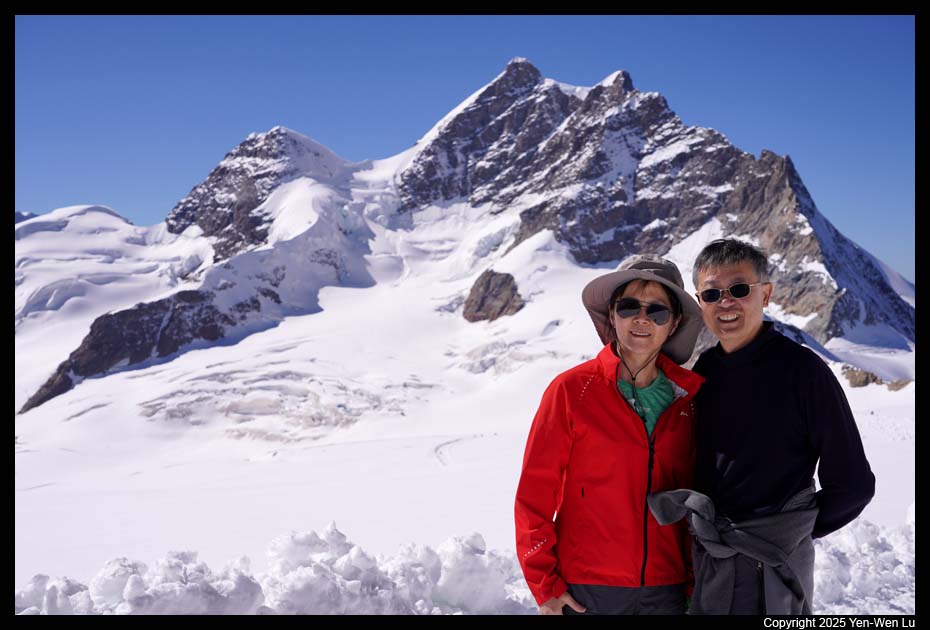
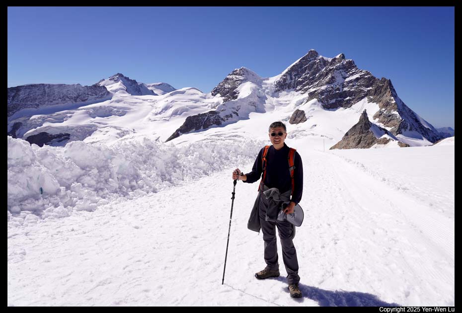
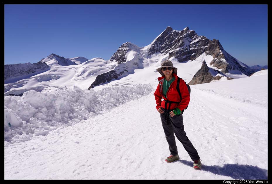
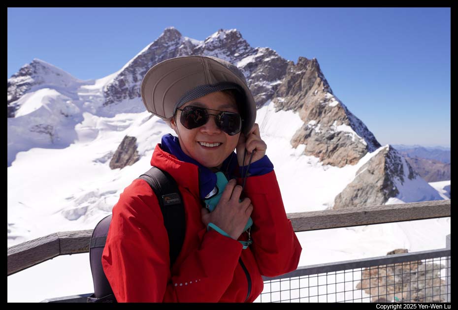
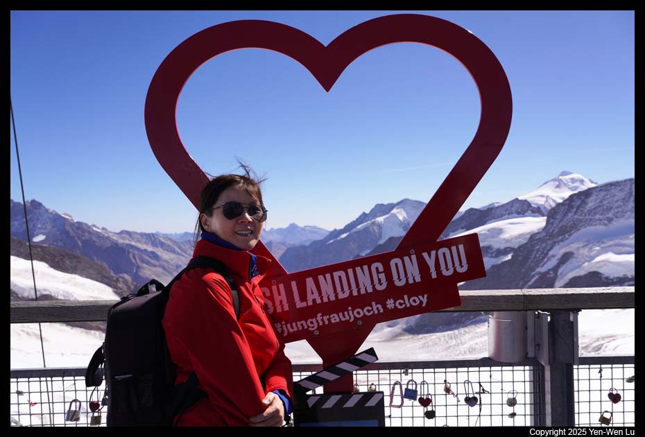
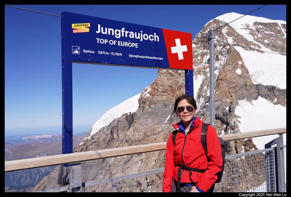
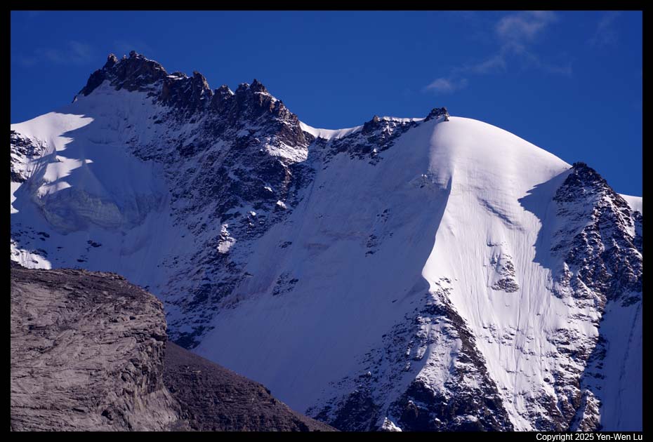
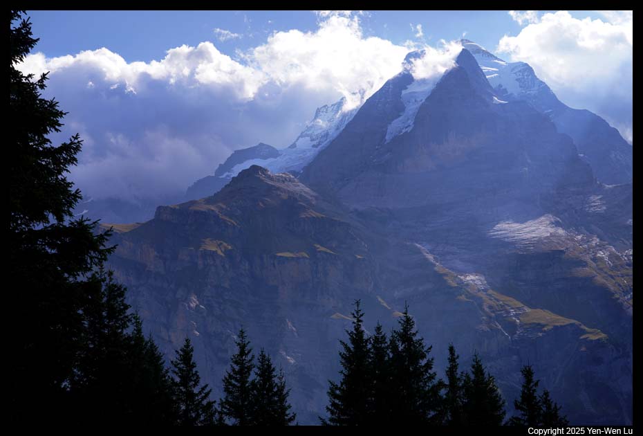
- Jungfraujoch
Jungfraujoch, known as "Top of Europe," is a mountain saddle and Europe's
highest railway station at 3,454 meters (11,332 ft) above sea level.
It is a saddle connecting two major 4000ers of the Bernese Alps: the
Jungfrau and the Mönch. Built from 1896 to 1912, the Jungfrau Railway
is the highest railway in Switzerland and Europe, running 9 kilometers (5.6
mi) from the station of Kleine Scheidegg (2,061 m (6,762 ft)) to the
Jungfraujoch (3,454 m (11,332 ft)). The railway runs essentially
within the Jungfrau Tunnel, built into the neighboring Eiger and Mönch.
Jungfraujoch is one of the most popular tourist
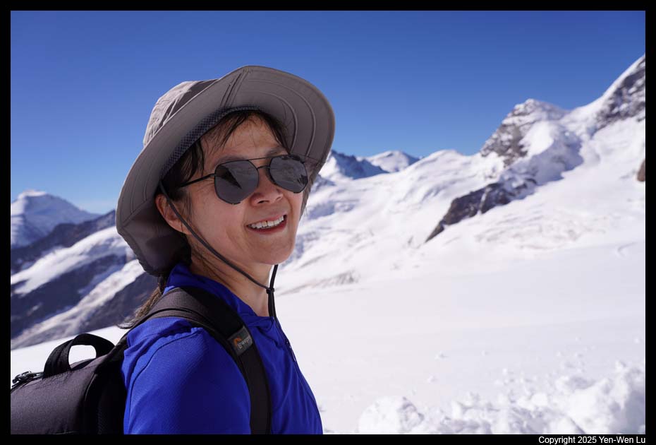
attractions in the Jungfrau region. The train was very full (seat
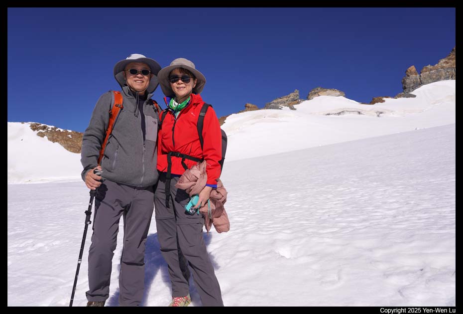
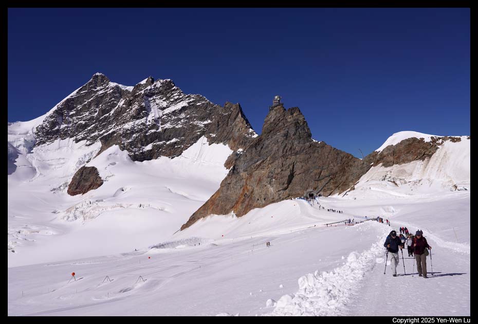
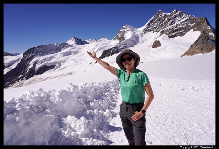
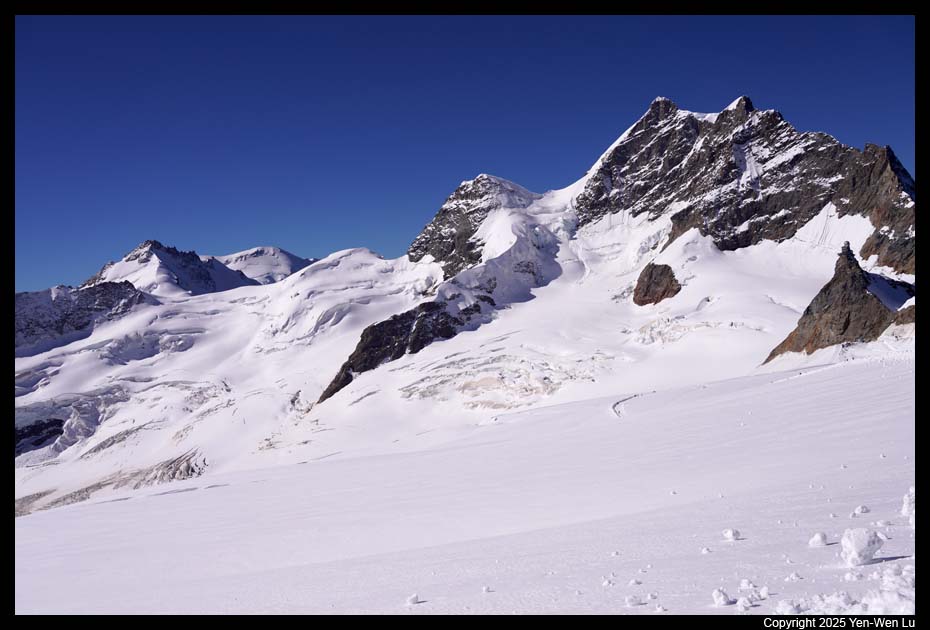
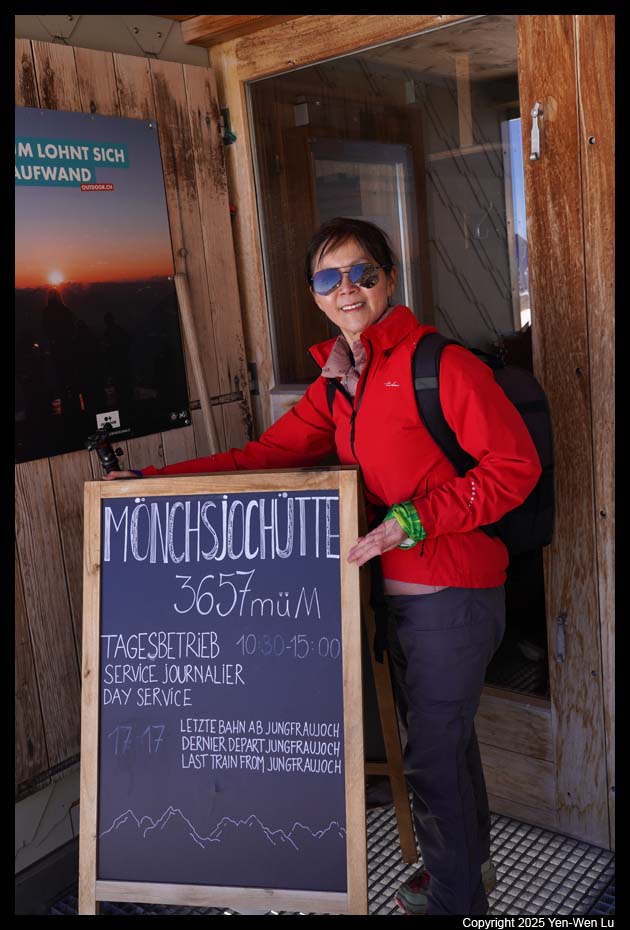
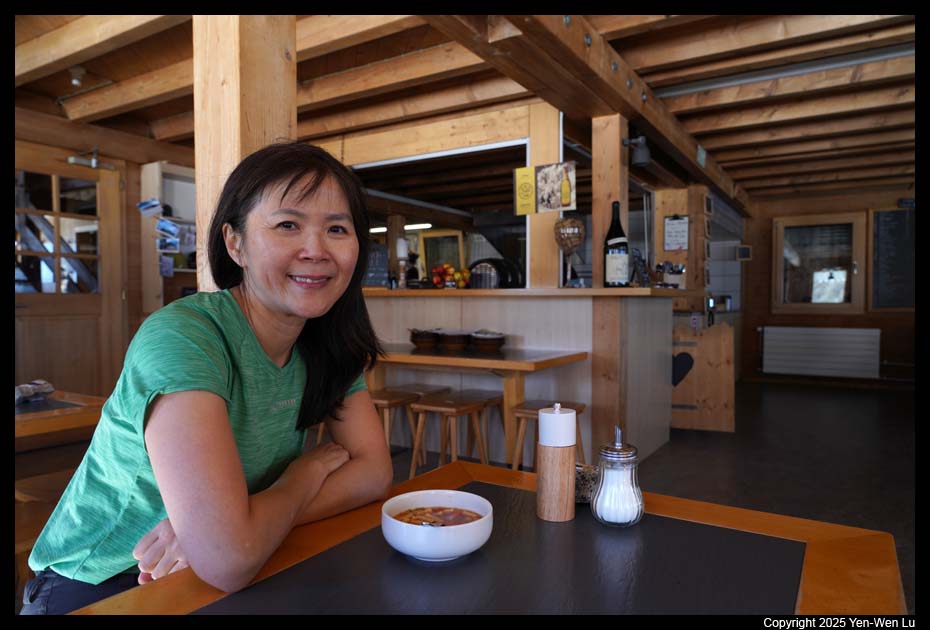
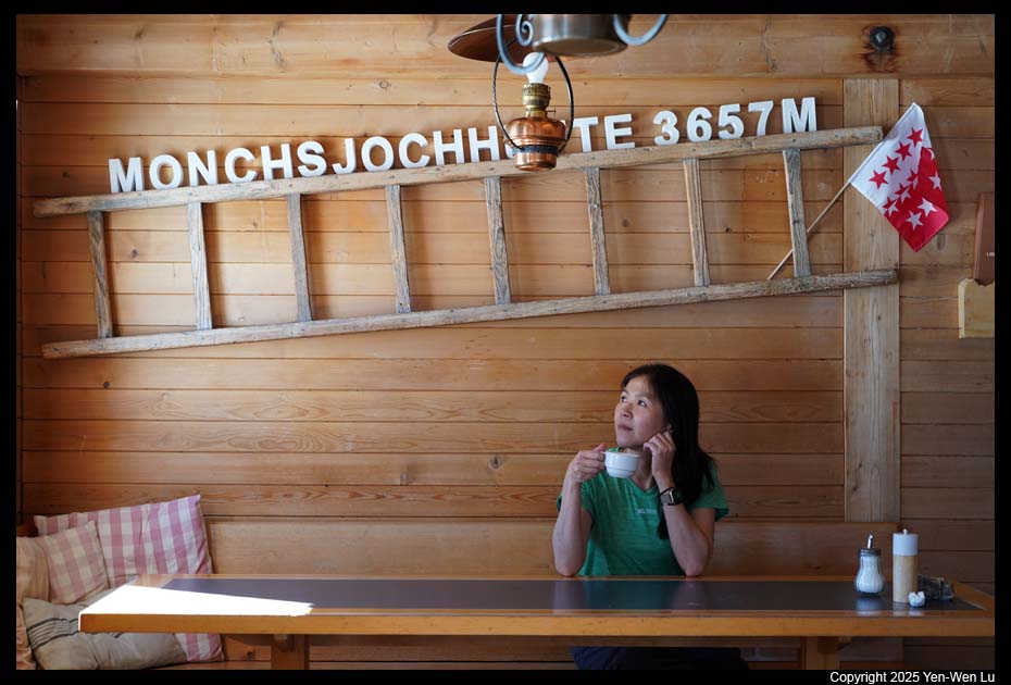
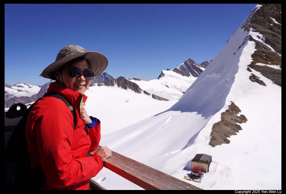
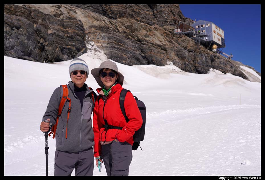
reservation was required in summer months). After reaching Jungfraujoch,
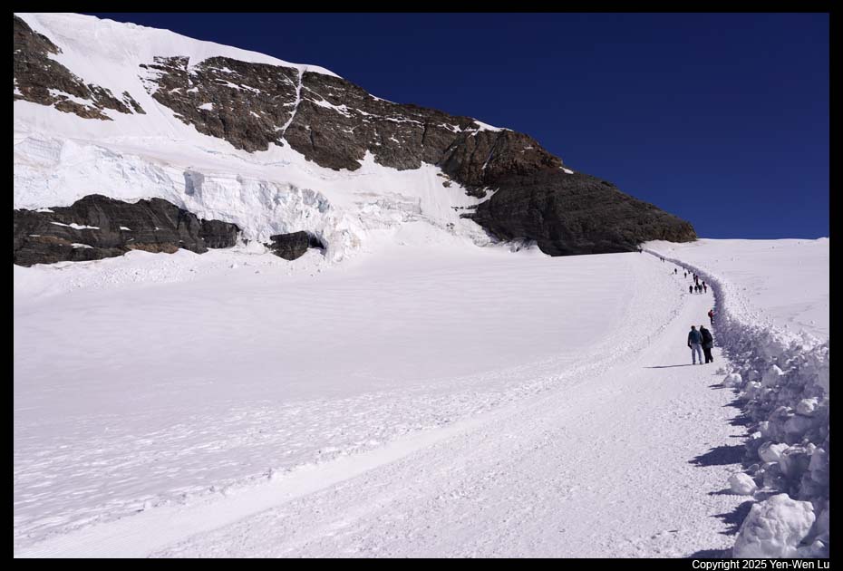
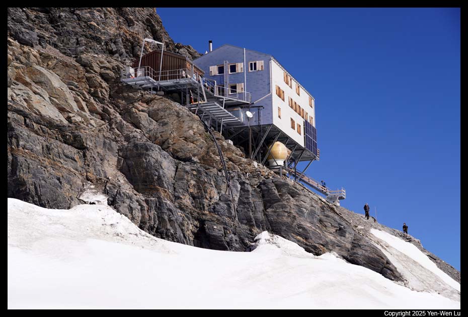
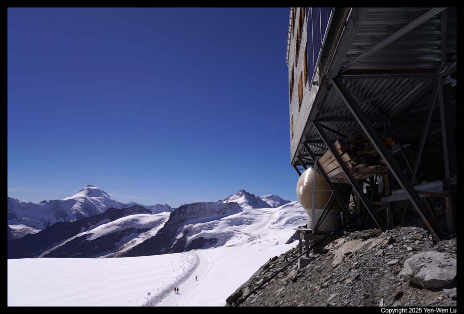
we decided to hike to the Mönchsjoch Hut, ~ 1.2 miles (one-way) with 660 ft
elevation gain. The entire trail is on a well-groomed snow path.
There were quite a few people at the beginning of the trail. But people
quickly disappeared after some distance on the trail. After about an
hour of hard work (Woanyu only wore her T-shirt), we finally reached the hut and
had a hearty lunch
at the hut as our best reward.
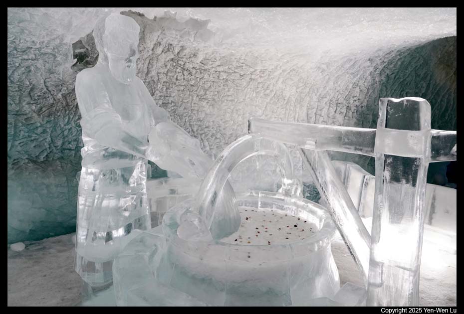
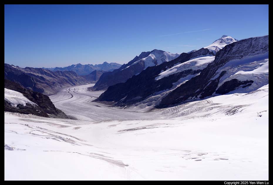
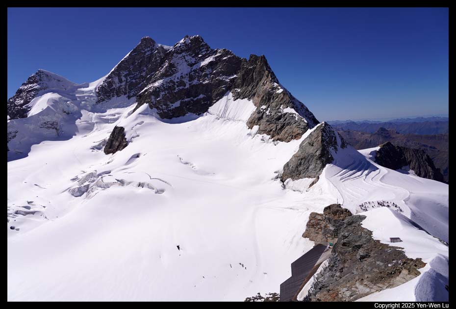
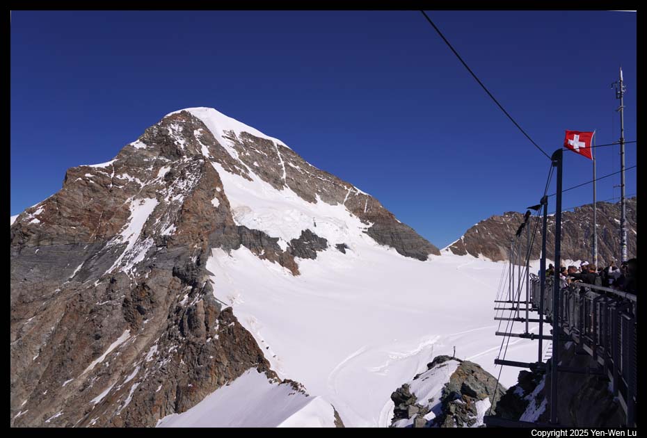
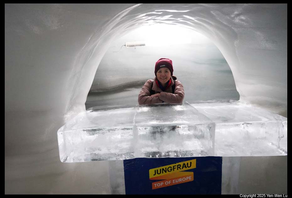
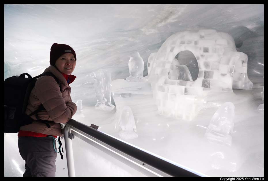
We returned to Jungfraujoch and visited a few tourist
attractions: the spectacular view of the longest glacier in the Alps from the
Sphinx observation deck, Ice Palace for awesome ice sculptures, and Glacier
Plateau for more amazing view of Jungfrau and the Alps.
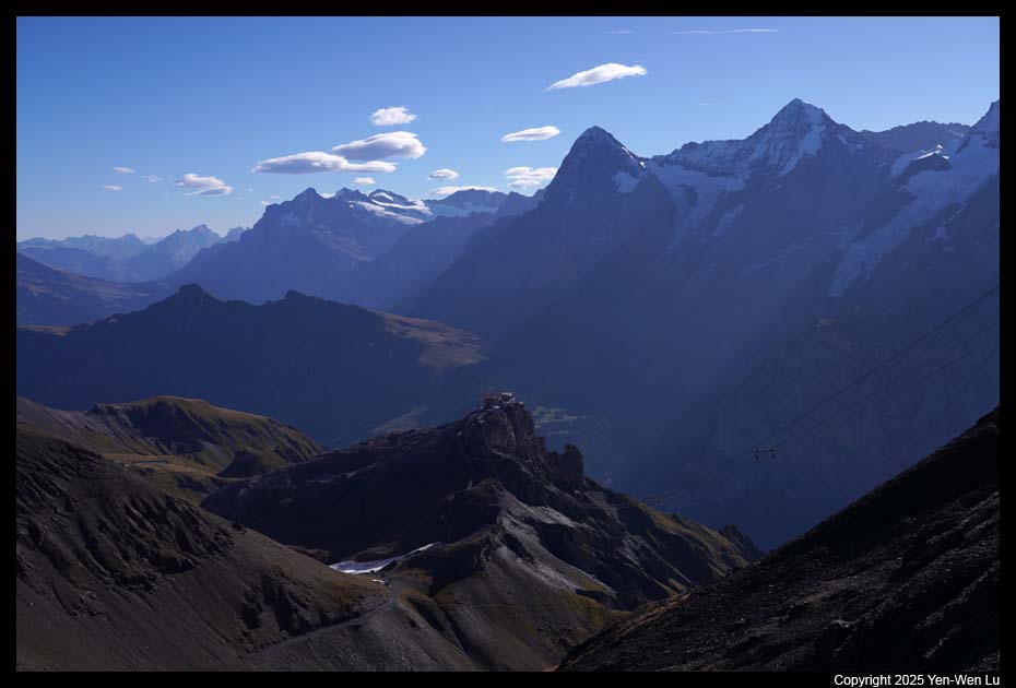
- Mürren
We took the train back down to Klein Sheidegg. We missed
our timed return slot so we need to wait in another queue.
Fortunately, it was not too bad in mid-September (I cannot imagine how crowd
it would be for summer months). From Klein Sheidegg, we changed the
train to Lauterbrunnen to pick up our luggage, and got on a cable car to
Grütschalp and got another train to our destination for the next 3 days:
Mürren. When we got off the train, there was a staff from our hotel (Hotel
Eiger) to collect our luggage and helped us transfer the luggage
directly to our room. Our room has a huge balcony with a
fantastic view of the mountains Eiger, Mönch and Jungfrau mountains.
We walked around the main street in Mürren to look for
dinner options. Most day-trip visitors had left Mürren and it became a
small quiet and serene village. We found a Chinese restaurant (Tham) to
have some delicious fried rice and spring rolls.
Day 7 (9/20) ...
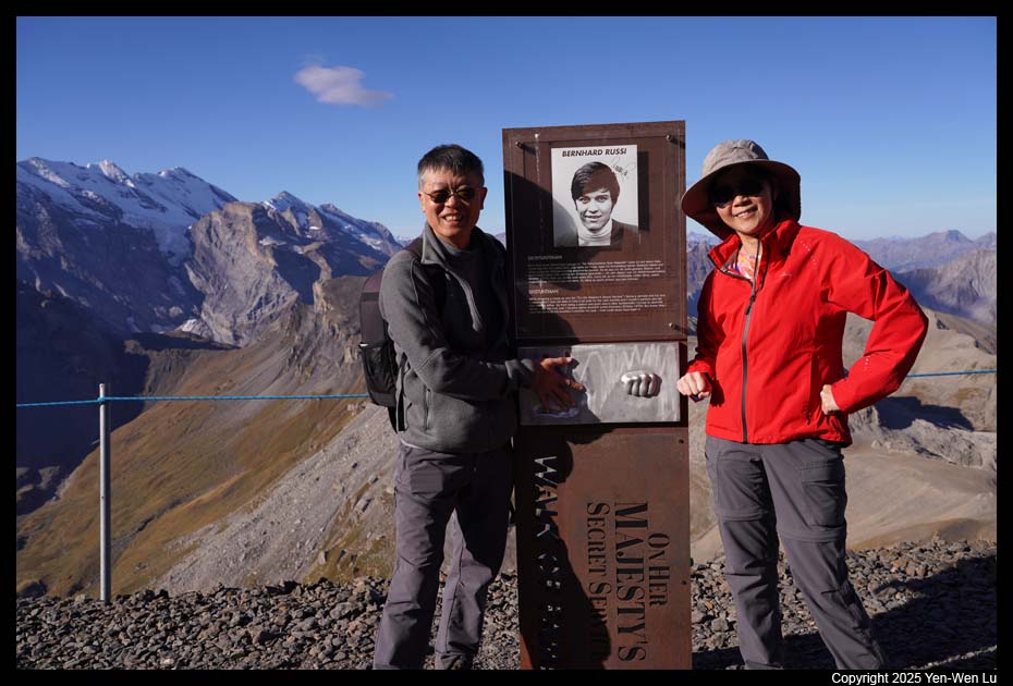
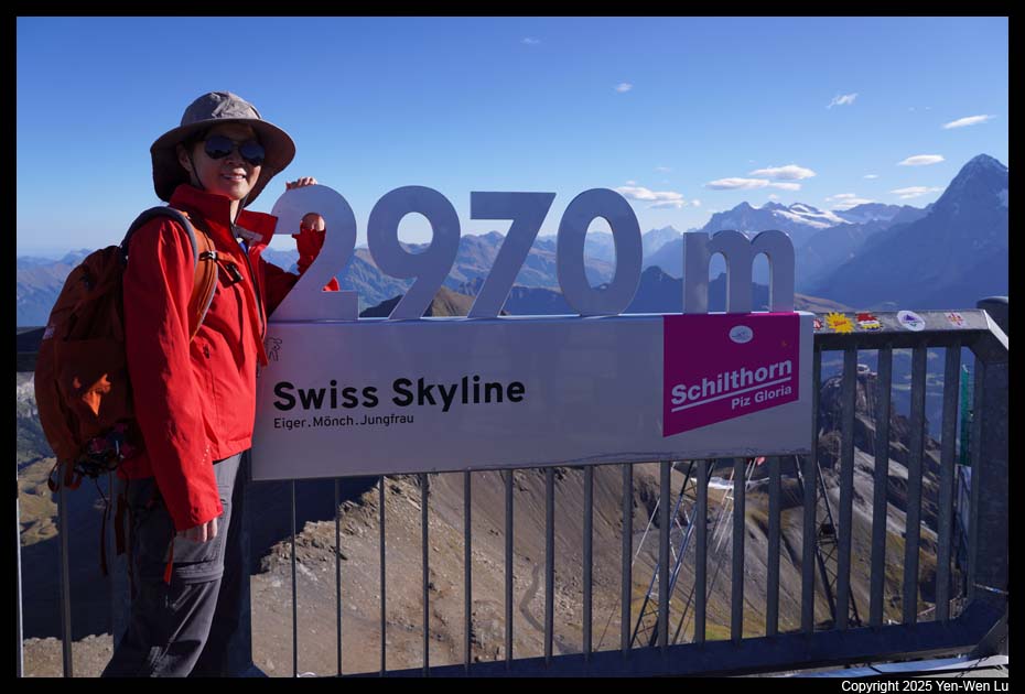
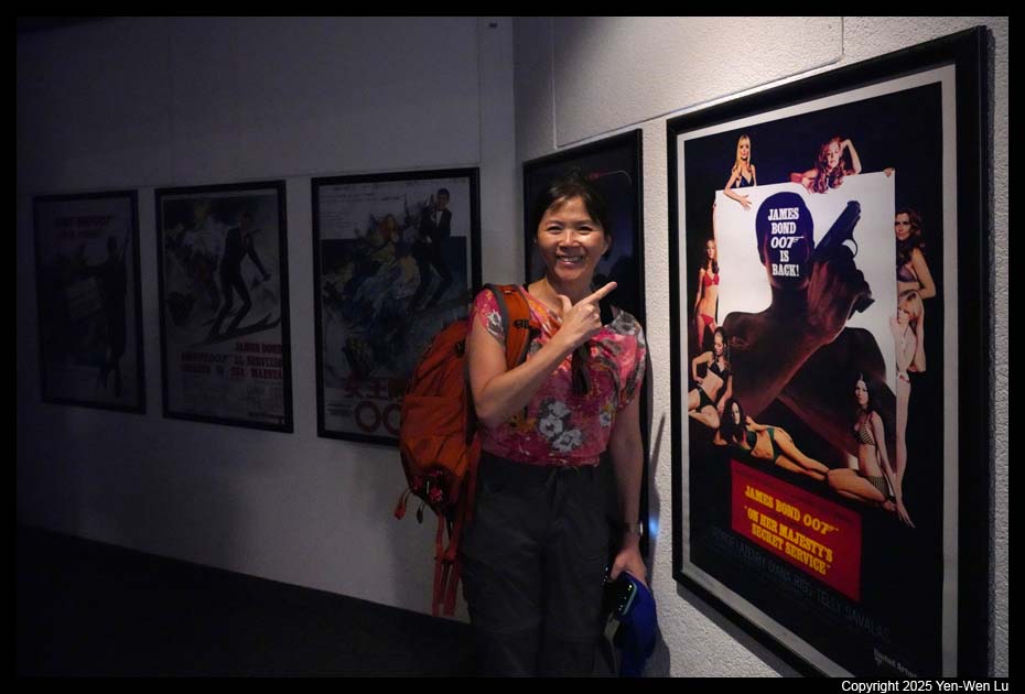
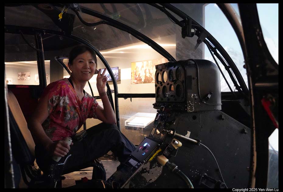
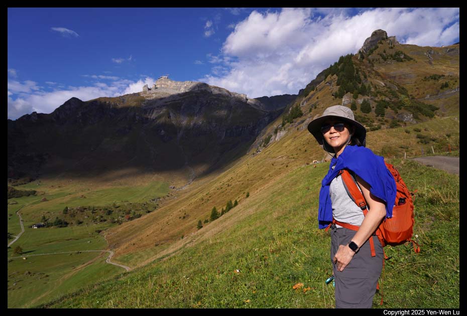
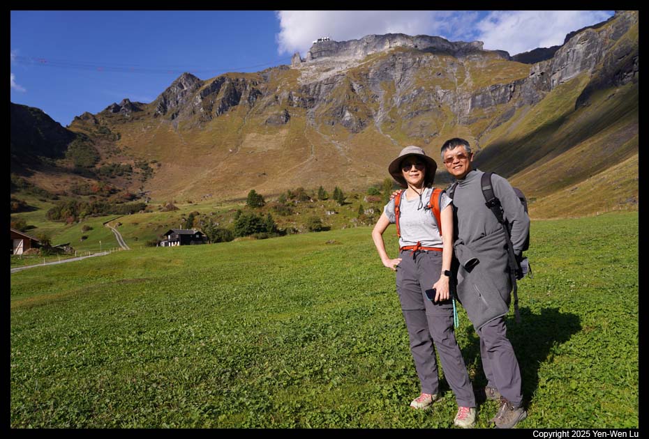
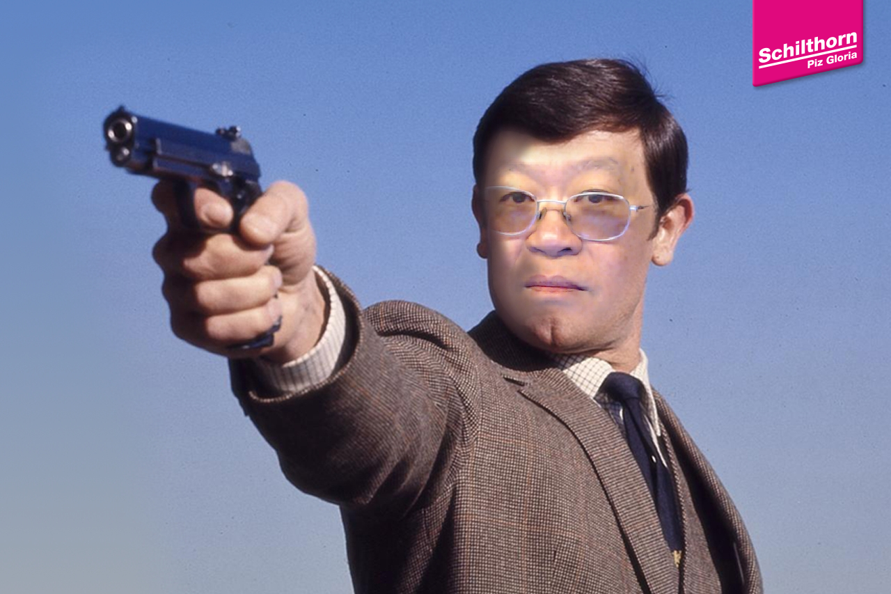
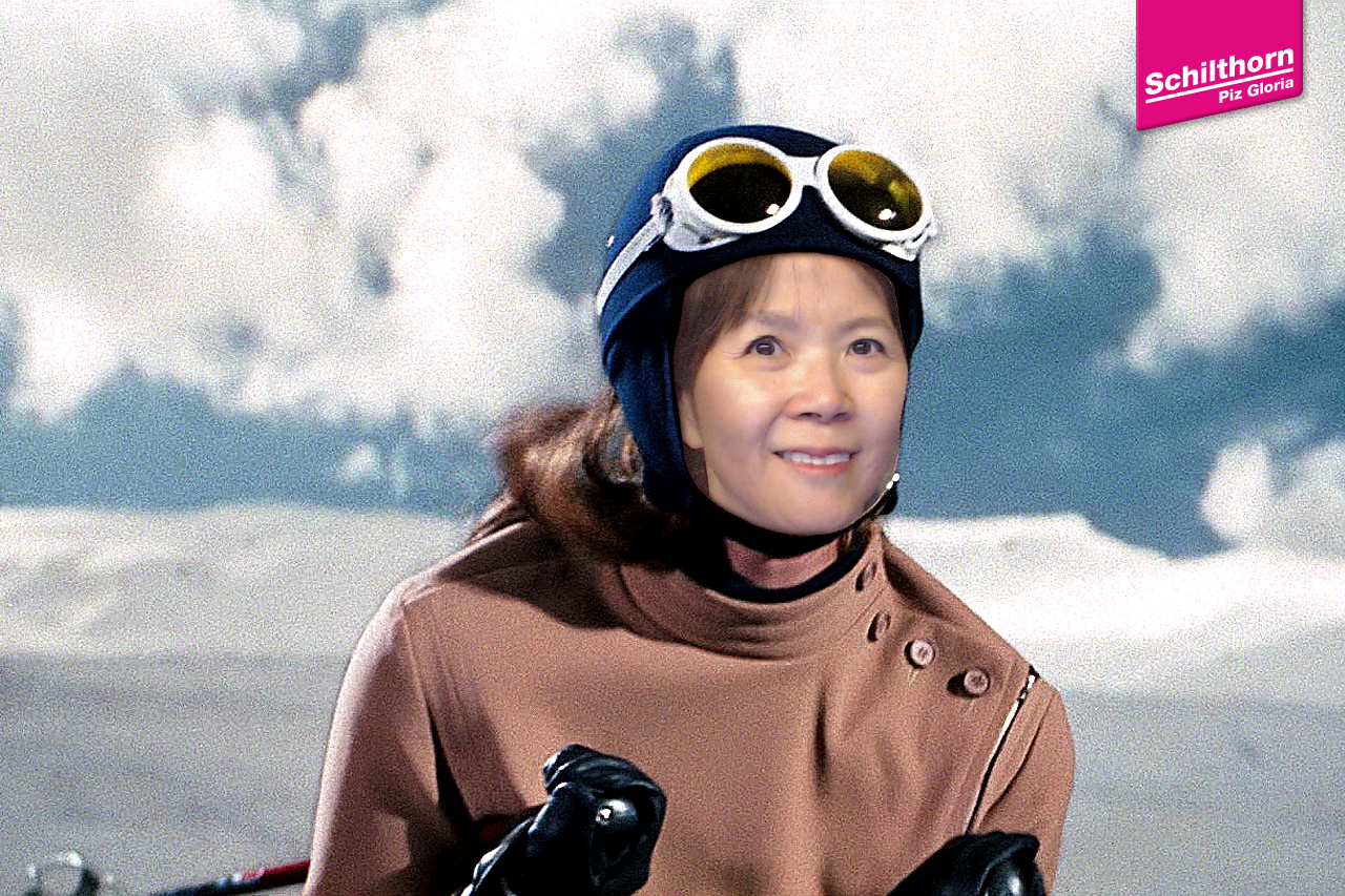
- Schilthorn
We walked
to the southern end of Mürren to take the cable car to Schilthorn, a
2970-meter (9,744 ft.) peak in the Swiss Alps, known for its revolving
restaurant, Piz Gloria, and as a filming location for the James Bond movie
On Her Majesty's Secret Service (1969). Since it is not high enough to
have snow year-round, I think it was less impressive compared to other
mountain peaks we visited this time (Matterhorn Glacier Paradise,
Jungfraujoch). Although we did not watch the 007 movie (we are too
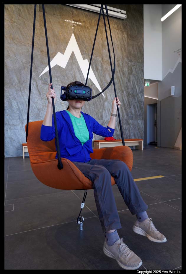
young for this movie), we went through the exhibition and had fun with some
interactive games (photo,
photo).
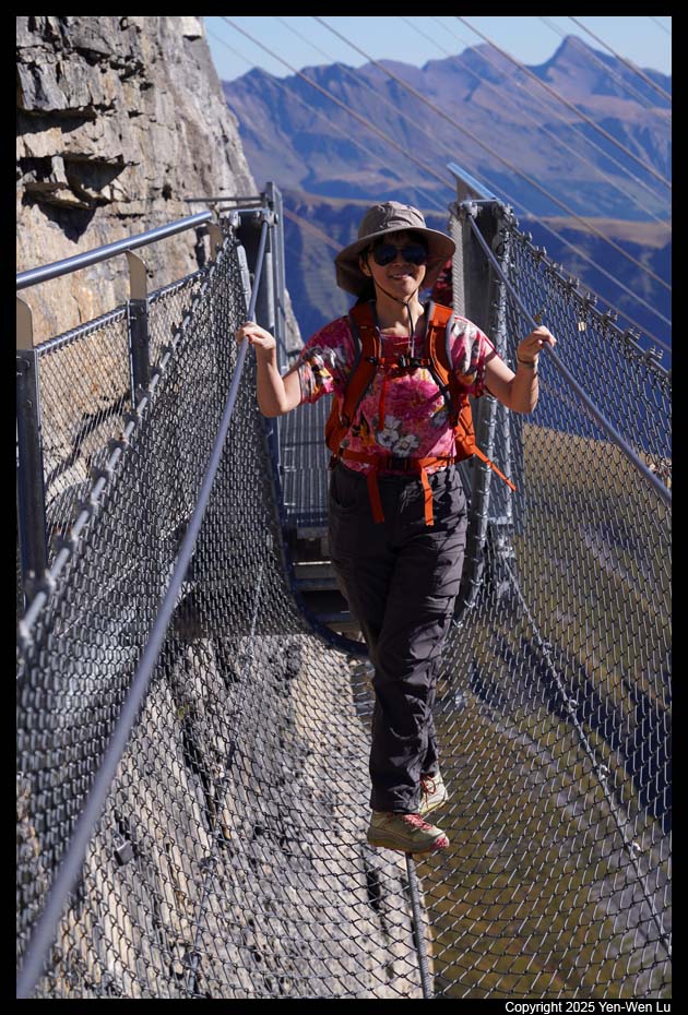
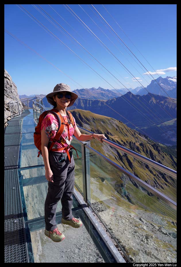
- Birg
We got the cable car down to Birg and got out to experience
another tourist attraction, Birg Thrill Walk. It is similar to the
Cliff Walk at First, Grindelwald, but the Birg Thrill Walk is a much more
"thrilling" experience. It includes a
crawl-through tunnel,
glass-bottomed floor, and
rope and cattle grid (video),
etc. Woanyu tried them all :-)
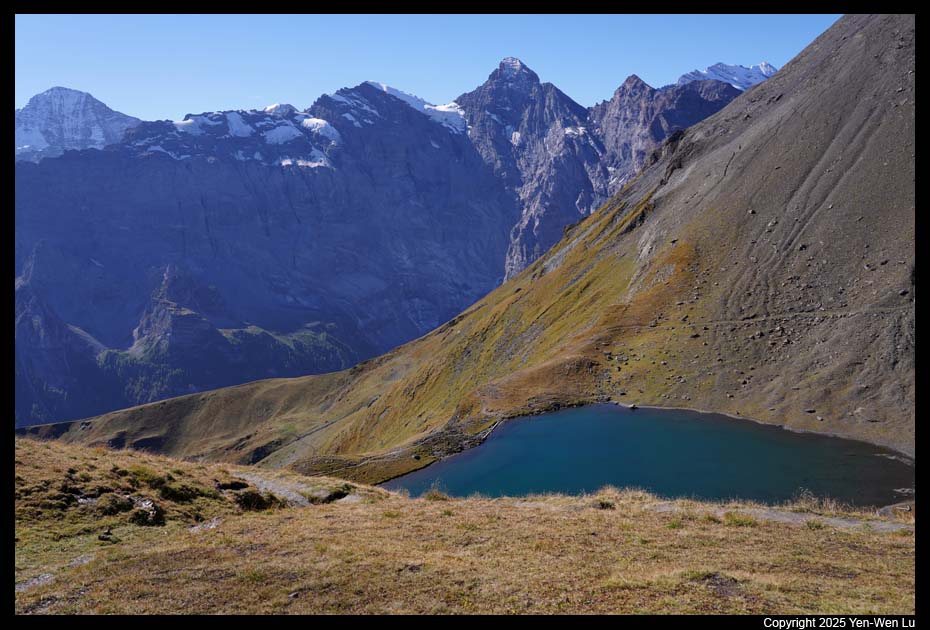
We took a short trail (along a dirt road where there was
some construction on going) to a small alpine lake
Grauseewli. We did not walk down
to the lake shore, but just took a few pictures with the majestic mountains as a
backdrop.
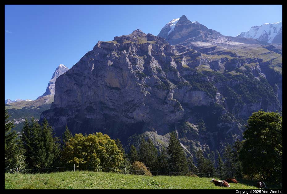
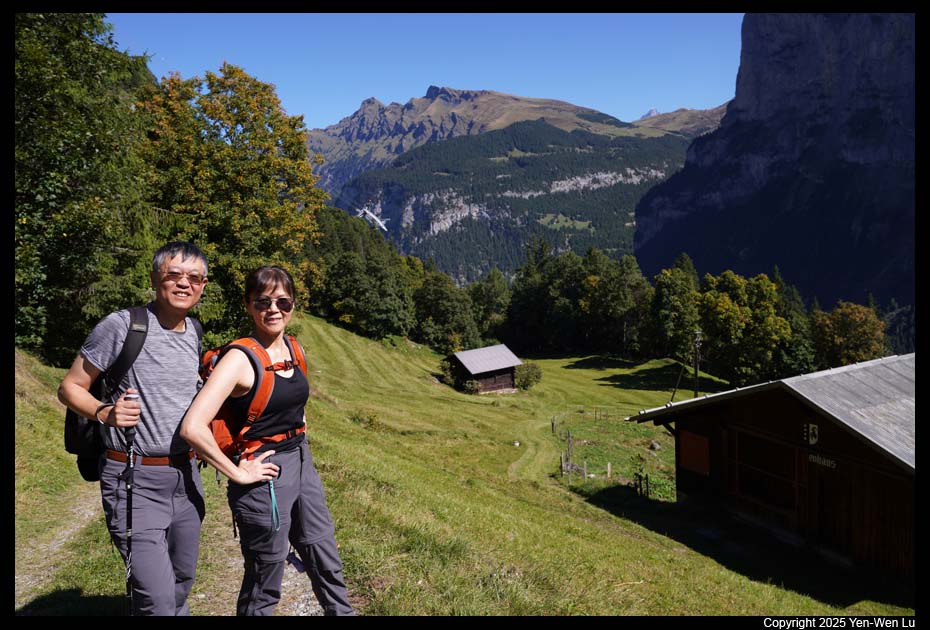
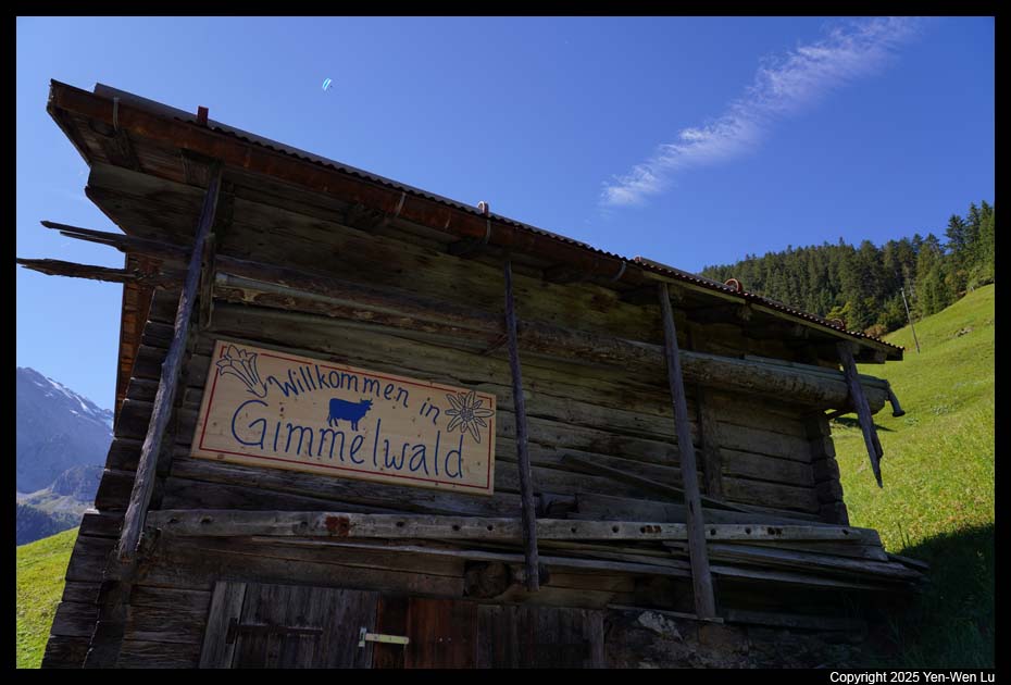
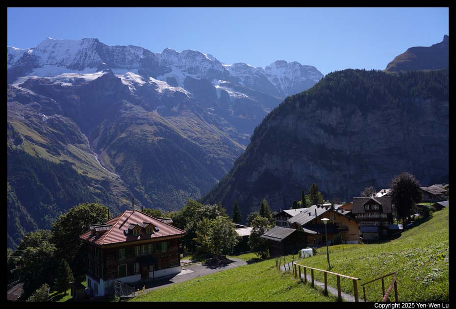
- Mürren - Gimmelwald
After the lunch at Birg, we went down to Mürren
and walked to the nearby Gimmelwald. It's a leisure and beautiful
1.5-mile downhill walk from Mürren to Gimmelwald. Gimmelwald is a
peaceful small village and it is absolutely an authentic Swiss Alpine
landscape and experience. We had a relaxed afternoon with
coffee/beer and a chocolate cake. Everything could not be more perfect
!
- Mürren
We took the cable car from Gimmelwald back to Mürren (since
it is the uphill direction). We enjoyed more fantastic views from our
balcony.
Day 8 (9/21) ...
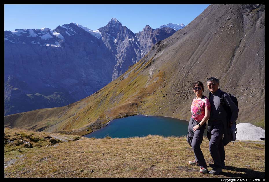
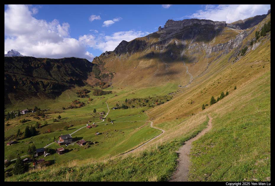
- Mürren - Allmendhubel
We walked to the funicular station at ~ 8:45AM
to catch the first ride ascending 500 meters up to Allmendhubel.
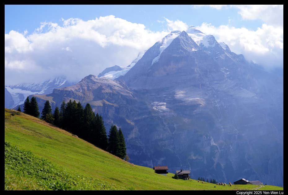
- Northface Trail
The Northface Trail is a 4.1-mile gradual downhill
hike from Allmendhubel back down to Mürren. Along the way, you have
stunning views of Mönch, Eiger, and Jungfrau, and Schilthorn and Birg,
as well as views over Mürren and the Lauterbrunnen Valley. This is my
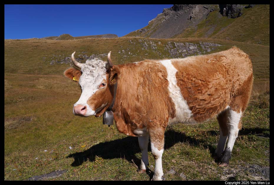
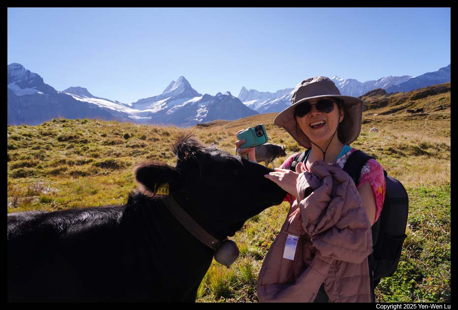
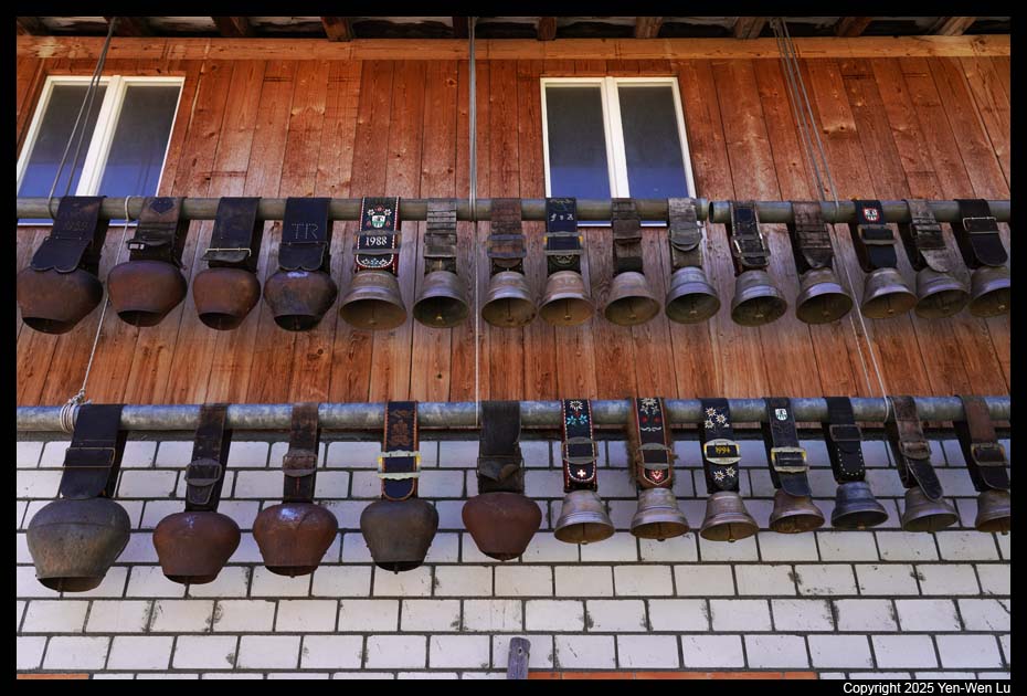
favorite trail in the entire Swiss Alps trip. This trail has every
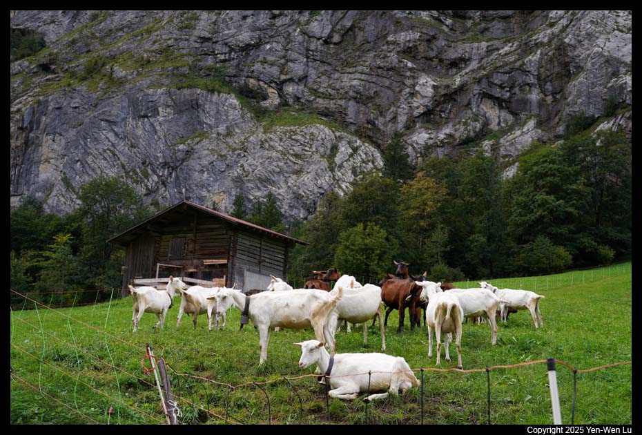
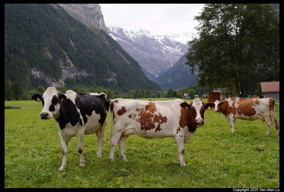
element of Swiss Alps: spectacular snow-capped mountain views, vast
and steep green alpine meadows, pastures filled with cows (and the sound of
their bells), small villages and chalets tucked away amidst the picturesque
settings. With the perfect weather and lighting (some cloud to filter
the direct backlit lighting), it's like walking in the dream world.
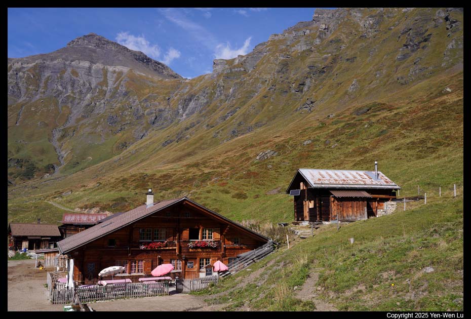
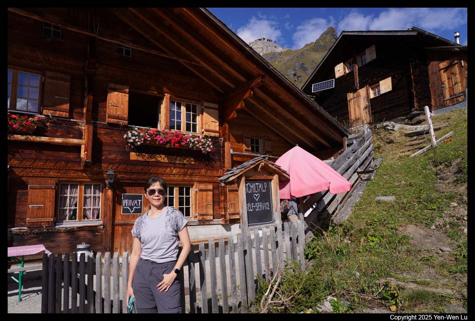
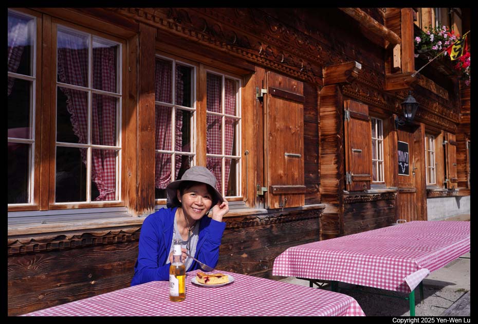
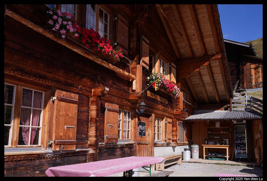
We stopped by a self-service place at Schiltalp to have
some cake and coffee/beer. There was a cash box with PayPal QR code.
In summer, this place was supposed to have some cheese making demonstration when
cows were still around. When I felt everything could not be more perfect
in Gimmelwald yesterday, I found it was even "more" perfect today :-)
- Lauterbrunnen
We were back to Mürren at about 12:30PM to take some
rest in the hotel room. The weather started to change. It became
cloudy and windy, and it looked like rain was coming.
We decided to go
out at ~ 2PM to visit Wengen on the other side of the Lauterbrunnen Valley.
There were so many people leaving Mürren and we missed the connection of
train in Lauterbrunnen (we could not get on the cable car in Grütschalp ),
so we have some time to walk around Lauterbrunnen to take a few more
pictures.
- Wengen
It's just a 10-minute train ride from Lauterbrunnen to Wengen.
We walked up to Wengen Church where it has a nice (but small and crowded)
viewpoint to look down the Lauterbrunnen Valley. After having a snack
(ice cream and coffee), we decided to stay longer to have dinner at a
Japanese restaurant (Lecker Asia) for some ramen and fried rice.
When we were back to Mürren in the late afternoon at ~
6PM, we could not even see the mountains from
our balcony.
Day 9 (9/22) ...
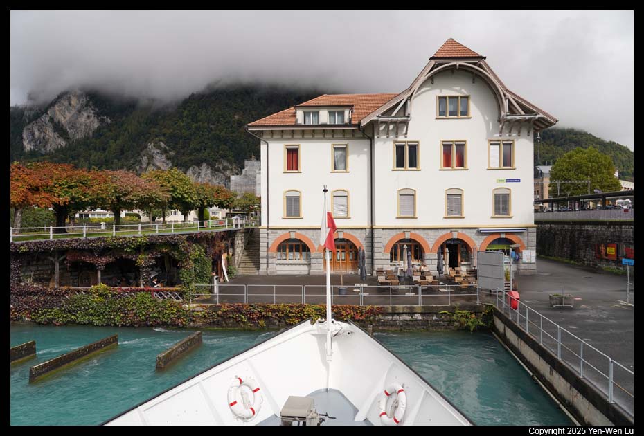
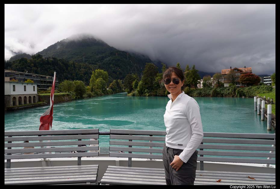
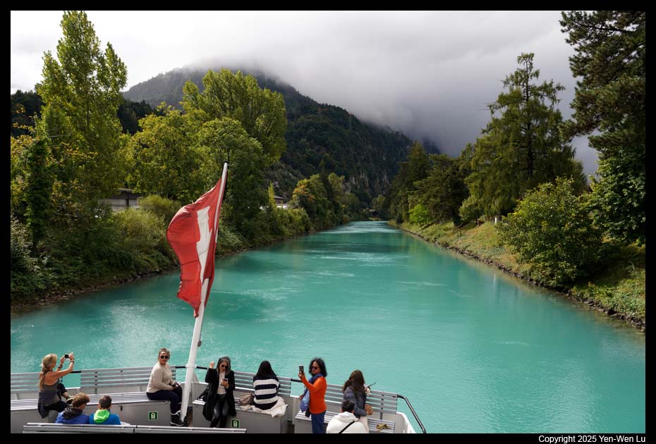
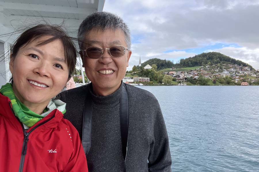
It's time to move from mountains to the lake area. We arrived in
Interlaken at about 11AM, and dropped off our luggage at the hotel (Hotel
Interlaken), and headed toward the Interlake West to take the boat trip on
Lake Thun. On the way to the Interlake West, we had a lunch at McDonald's.
I think the McDonald's in Switzerland is probably at least 50% more expensive
than in US.
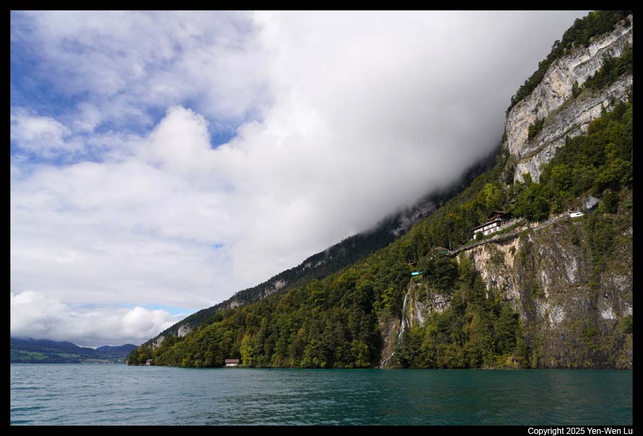
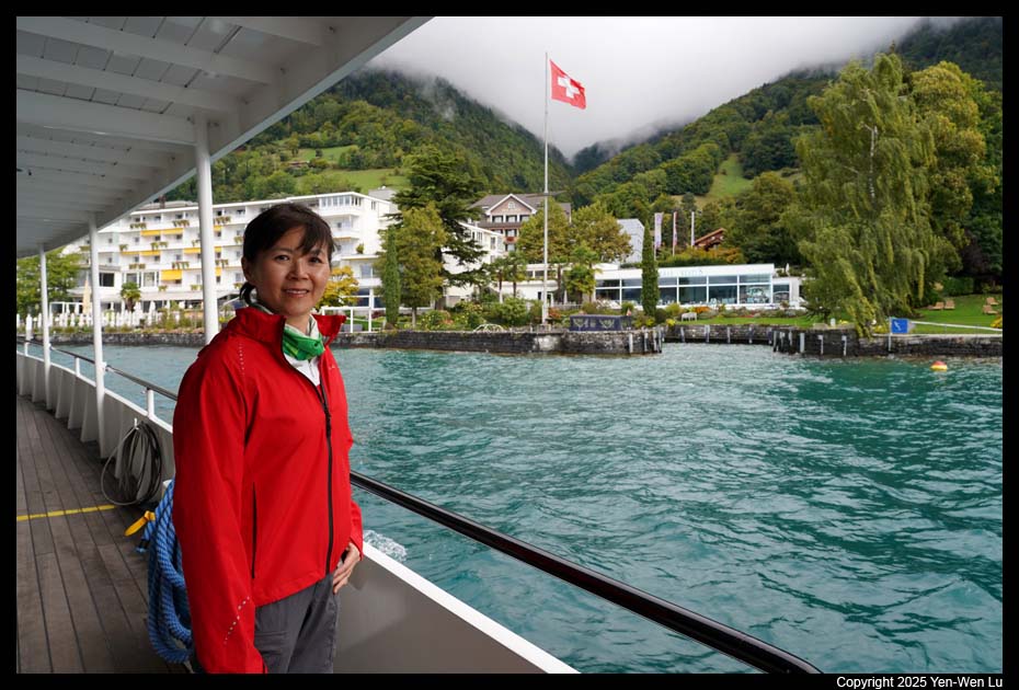
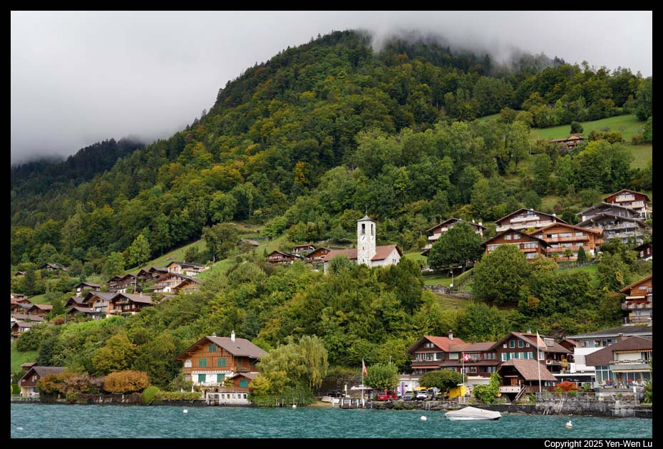
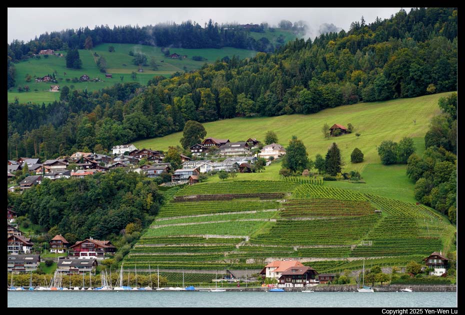
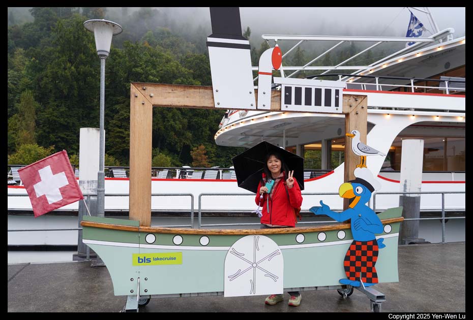
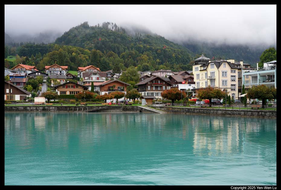
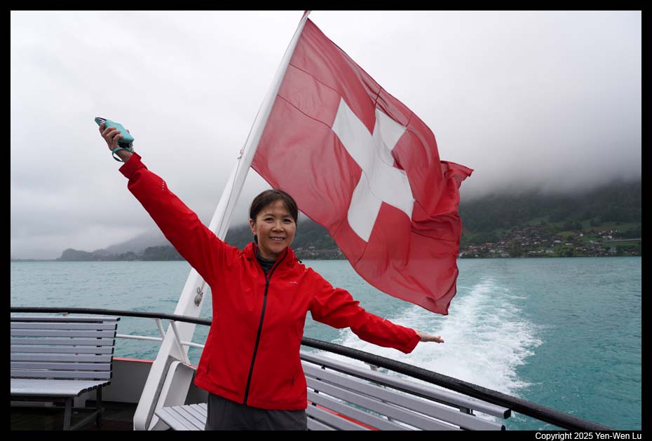
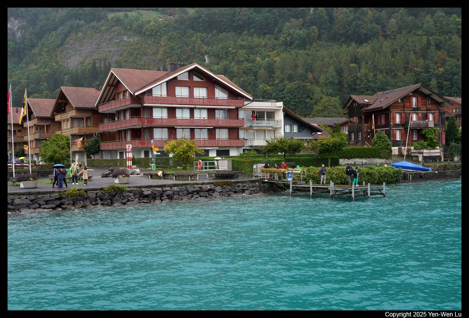
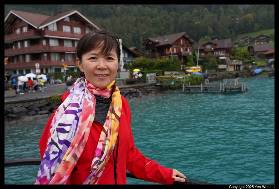
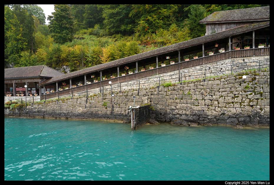
- Lake Thun
We took the boat trip at 12:10PM. Lake Thun is
the largest Alpine lake in the Bernese Oberland named after the city of
Thun, on its northern shore. The lake was created after the last
glacial period. After the 10th century, it split from Lake Brienz, before
which the two lakes were combined. The scenic boat ride took
about 2 hours from Interlaken to Thun with numerous stops in between.
Although it was partially cloudy today, it was a nice day to have a boat
trip.
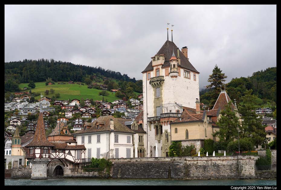
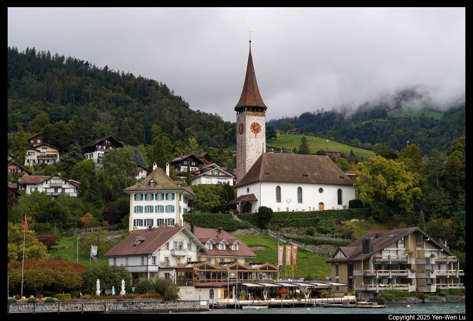
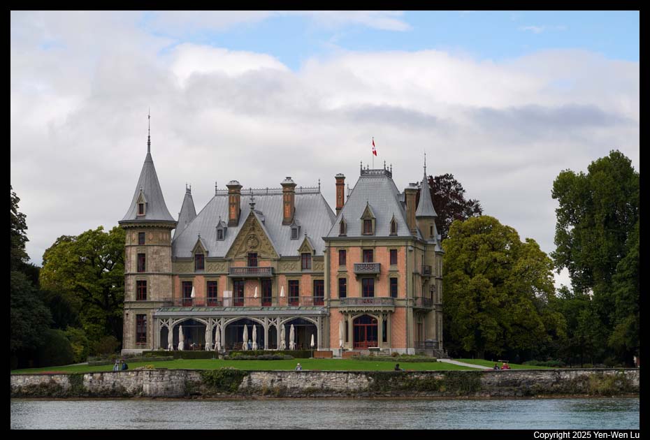
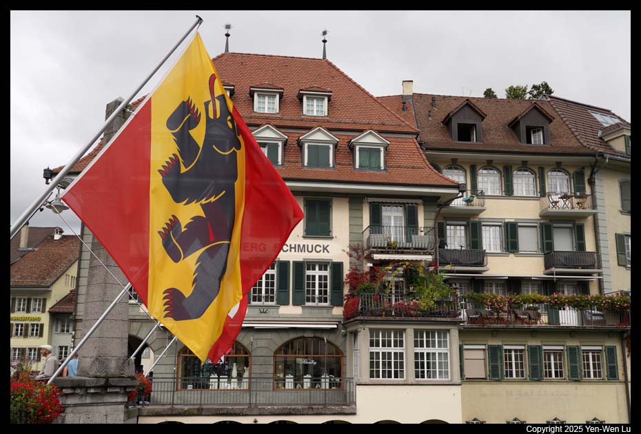
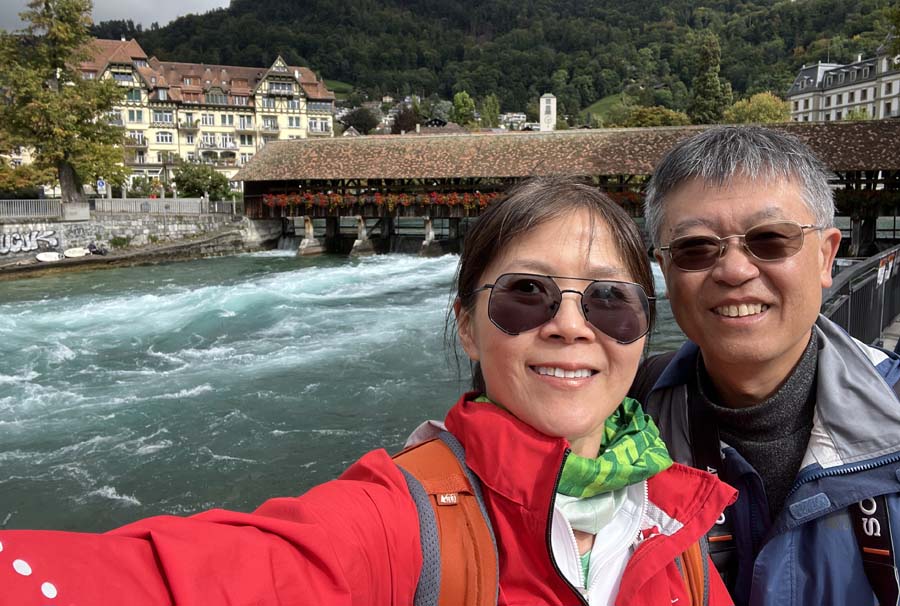
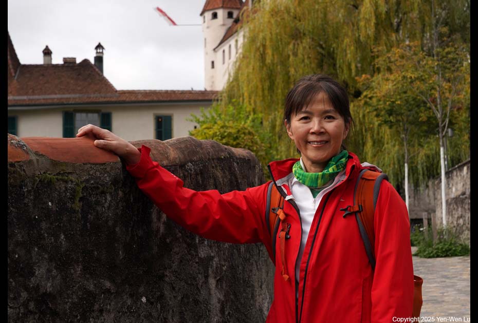
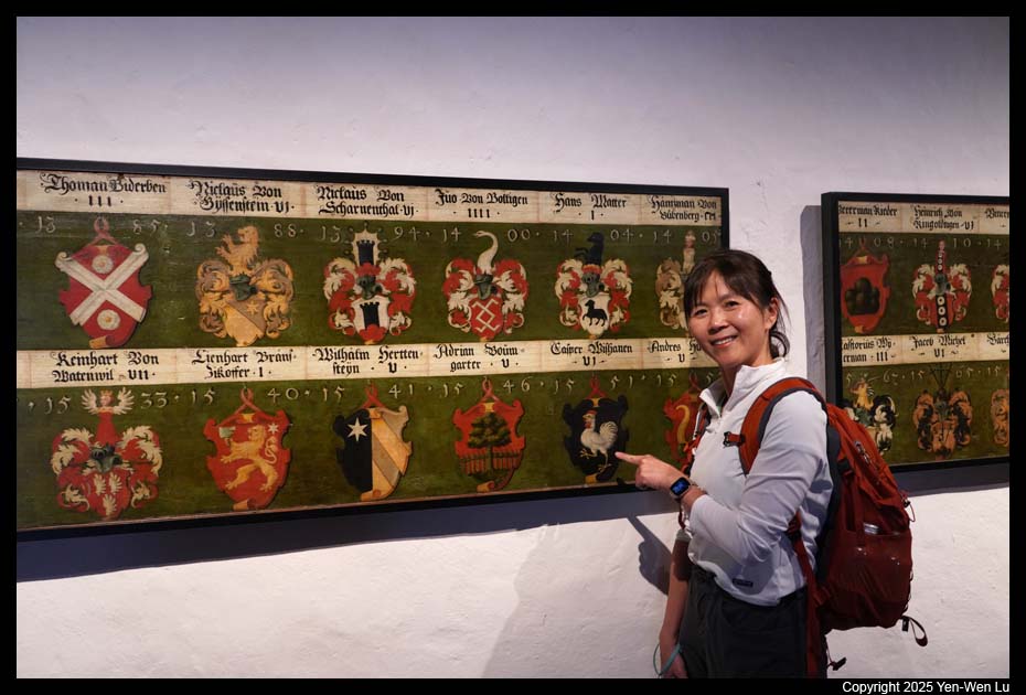
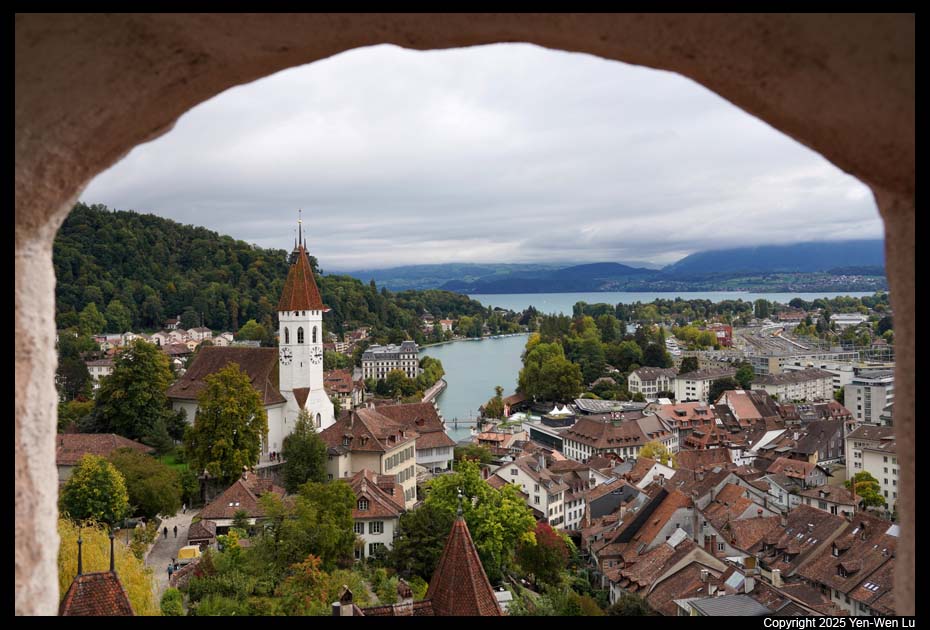
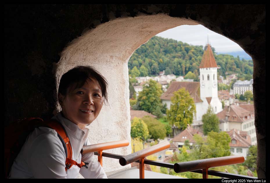
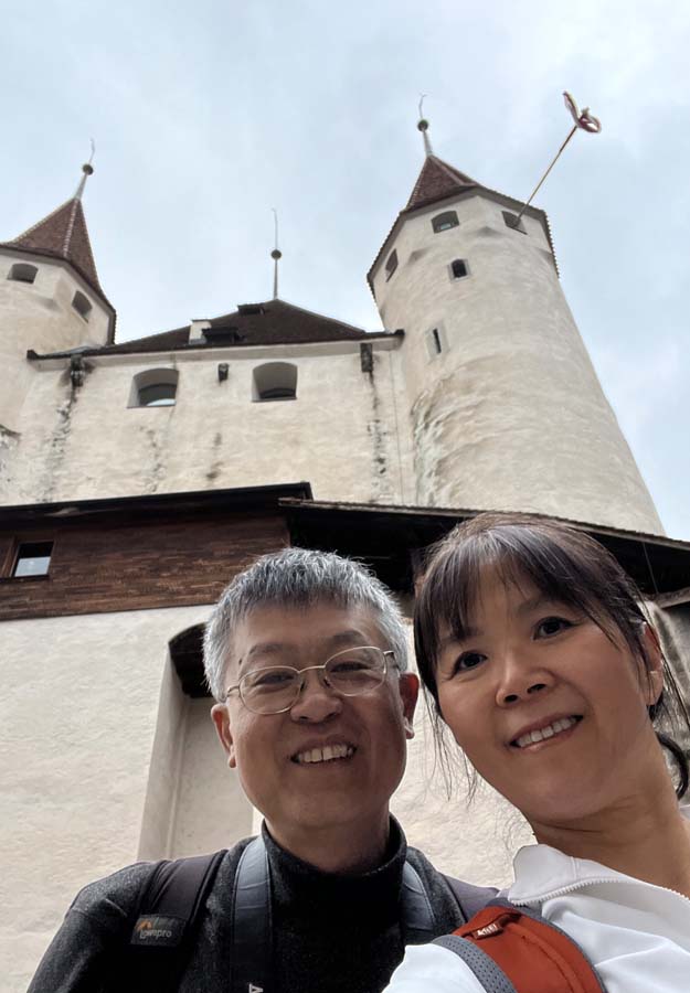
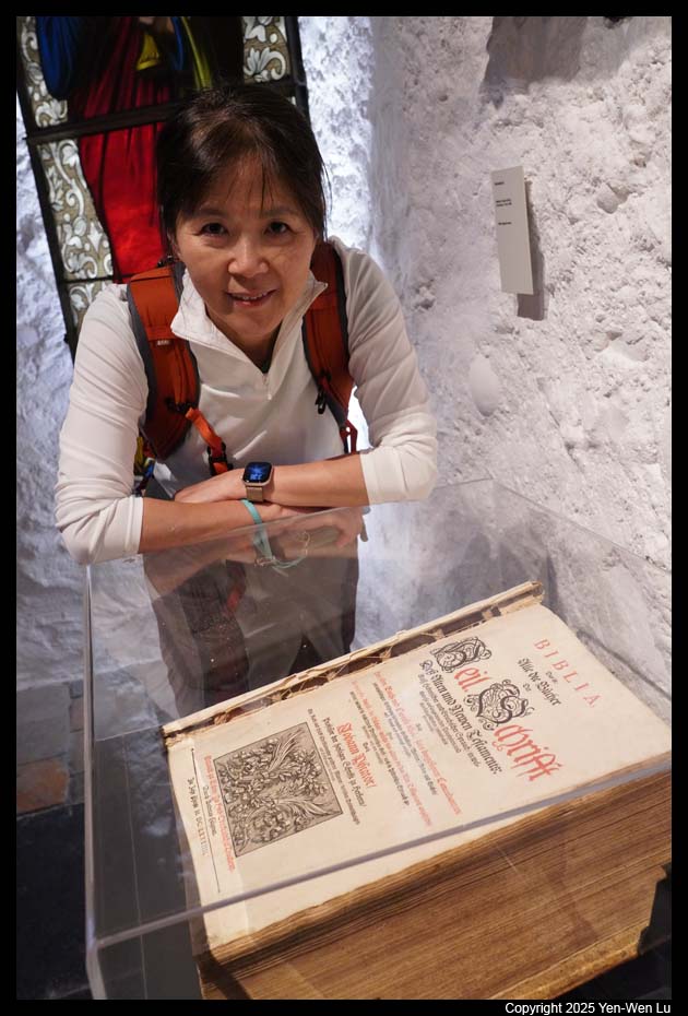
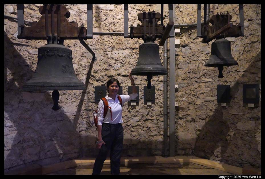
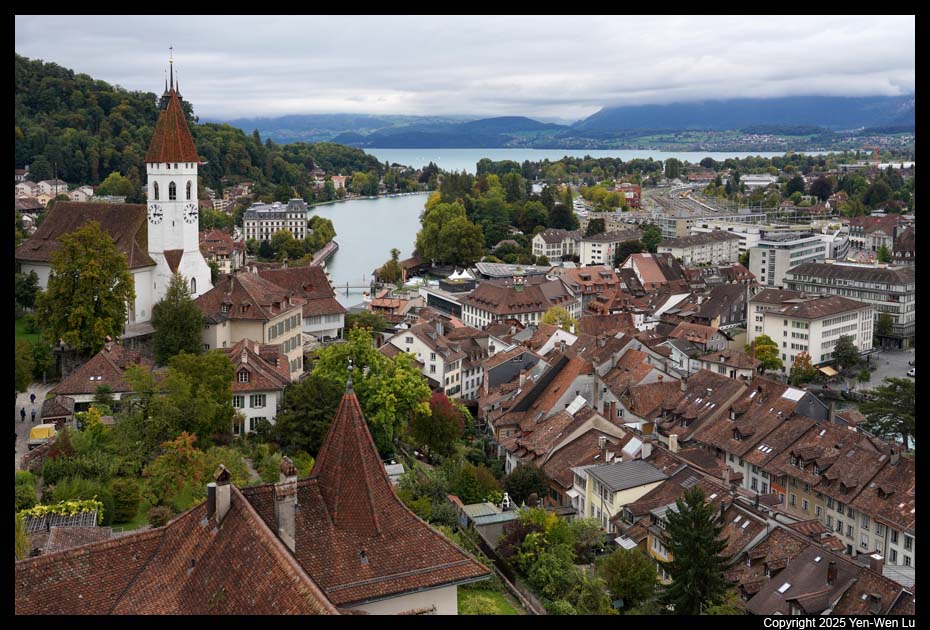
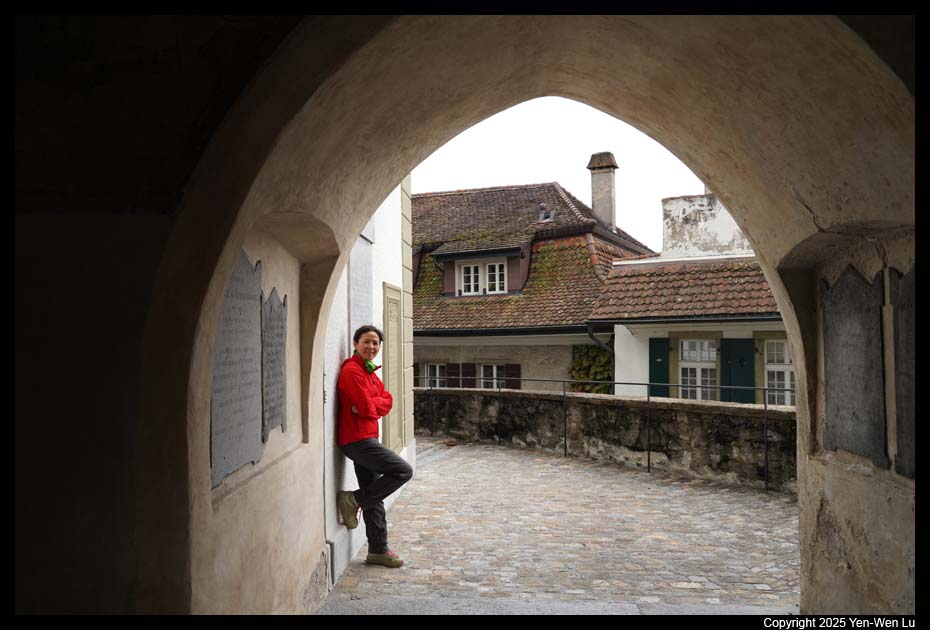
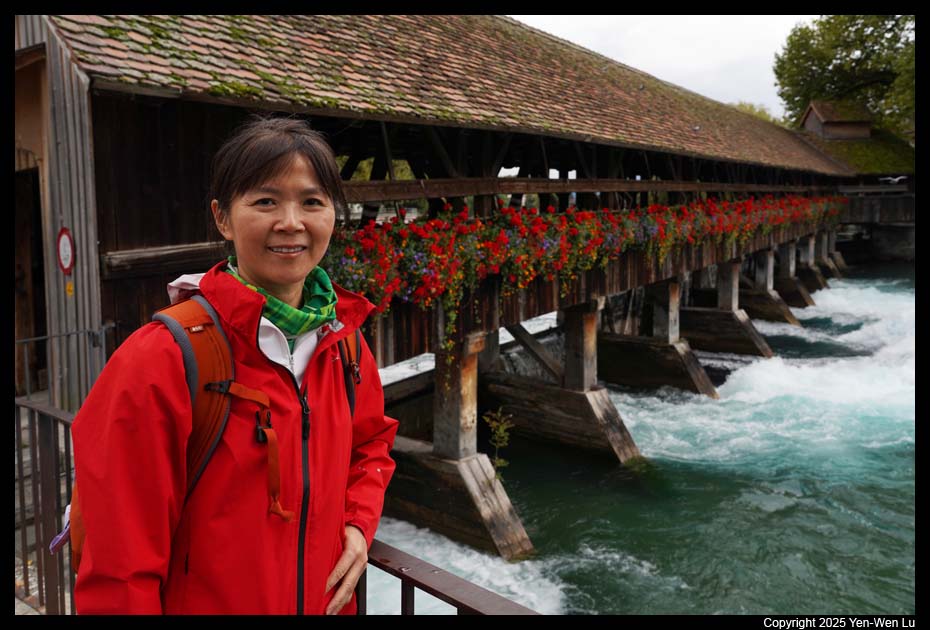
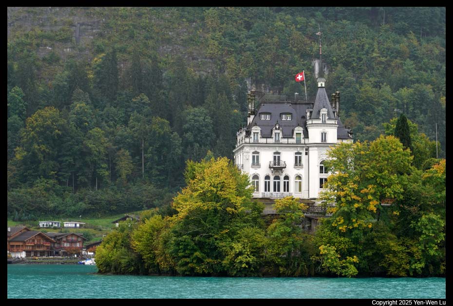
- Thun
Thun, the gateway to the Bernese Oberland, is a successful
combination of mountains and lakes as well as of historical and contemporary
buildings. The medieval Thun Castle is the city’s landmark. It towers
over Thun like something from a fairytale, embarking on a journey through
800 years of Thun, Bernese and Swiss history. Thun has two main
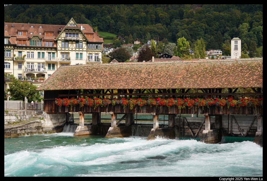
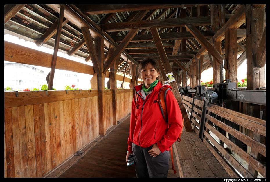
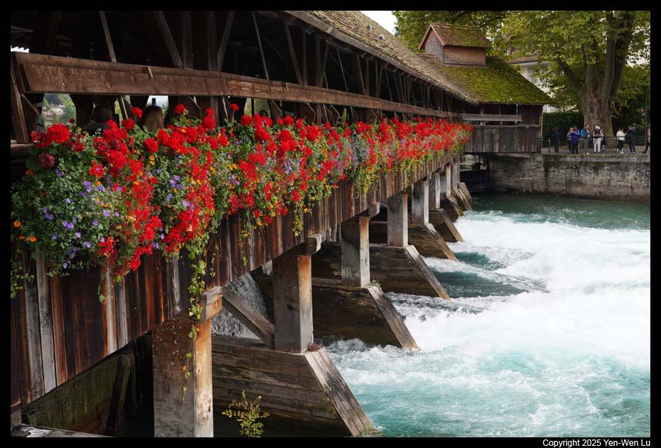
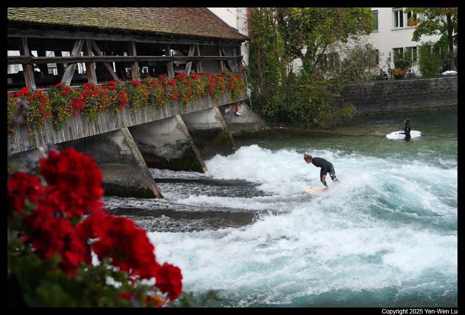
covered bridges, the Obere Schleuse (Upper Lock Bridge) and the Untere
Schleuse (or Mühleschleuse, Lower Lock Bridge). Both of these bridges were
constructed in the 1720s and play a crucial role in controlling the water
levels of the Aare River. It's interesting to see some people were
actually surfing behind the bridge locks (video).
After visiting Thun, we took the train from Thun back to
Interlaken, and had a nice dinner (cheese
fondue as appetizer) in the hotel.
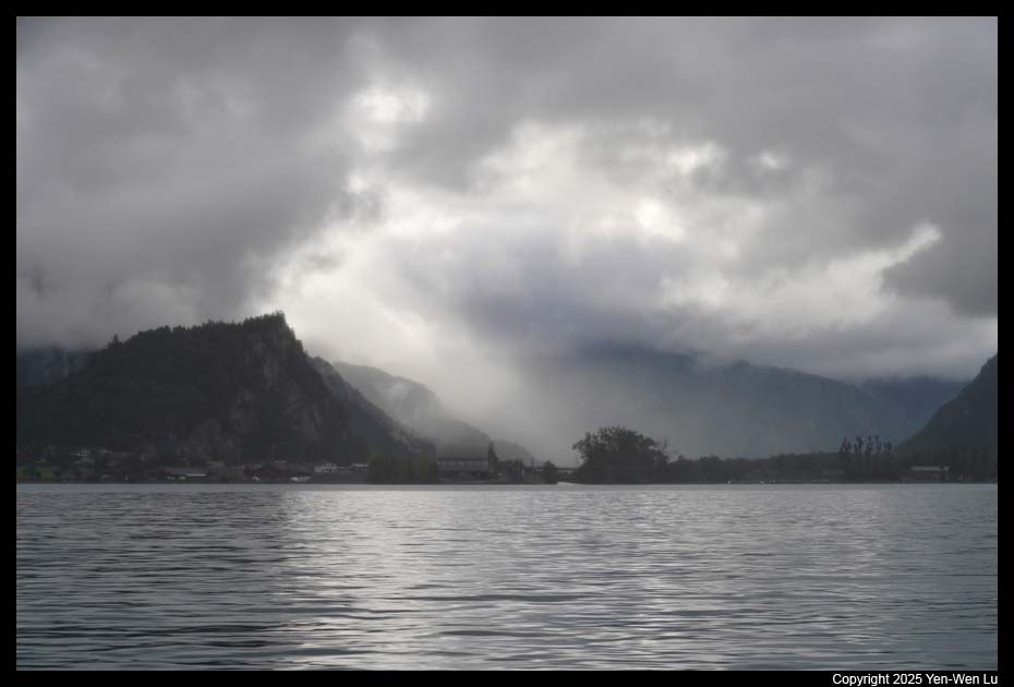
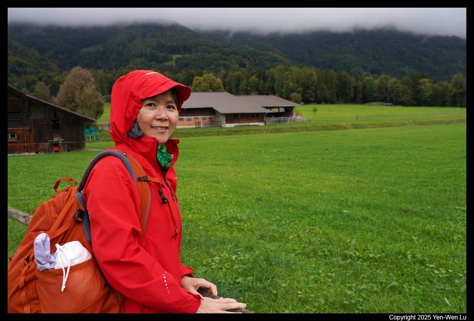
Day 10 (9/23) ...
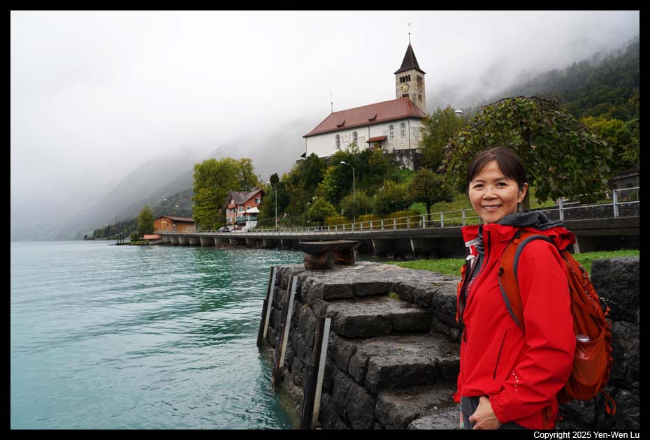
- Lake Brienz
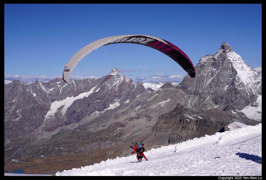
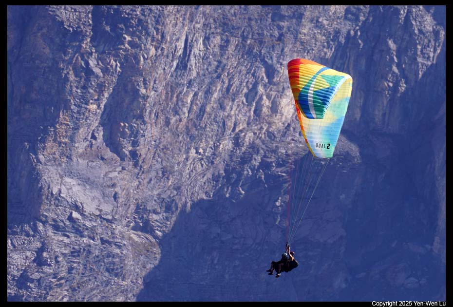
I originally booked
paragliding for today's
activities. However, the weather was not good and we had to cancel the
paragliding. We decided to take the 9AM boat trip to explore Lake
Brienz.
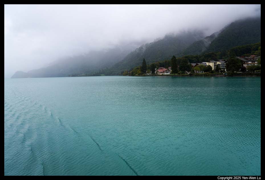
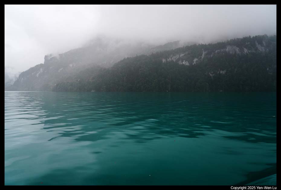
Lake Brienz has a length of about 14 kilometers (8.7 mi),
a width of 2.8 kilometers (1.7 mi) and a maximum depth of 260 meters (850
ft). The striking turquoise blue in contrast to the surrounding
mountains is unique even for a cloudy day like today. For many Asian,
the most famous "landmark" on Lake Brienz is a small pier in Iseltwald
because of the popular Korean drama "Crash Landing On You".
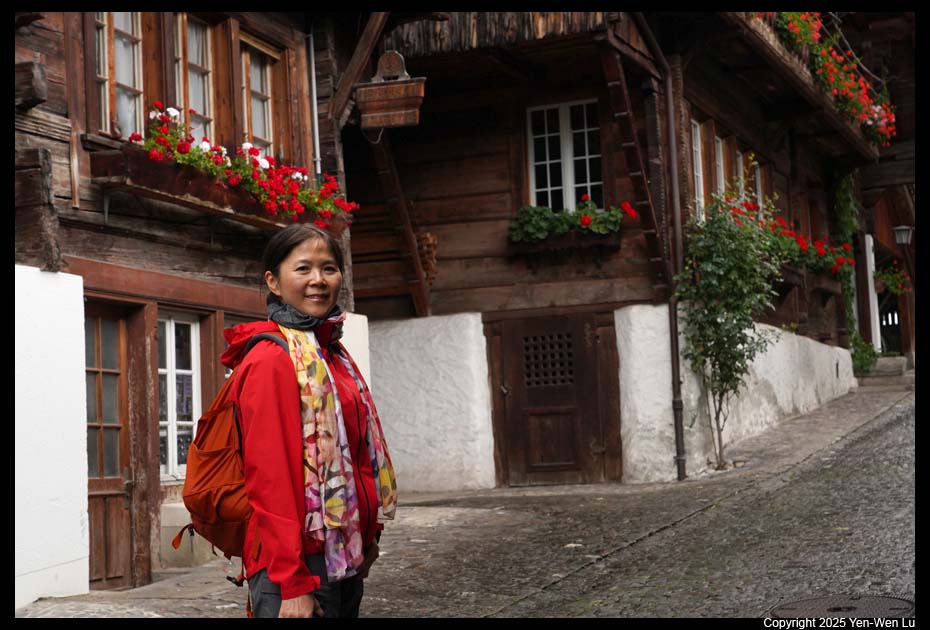
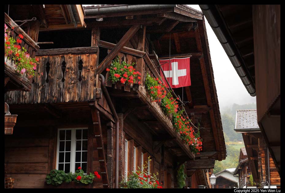
- Brienz
It took about 80 minutes to reach the village of Brienz at the
eastern end of the lake. We walked from the pier to
Brunngasse, a beautiful street with
cobblestones and wooden chalets decorated with flowers and carvings.
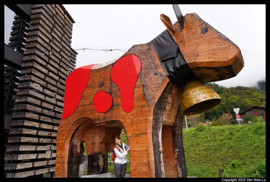
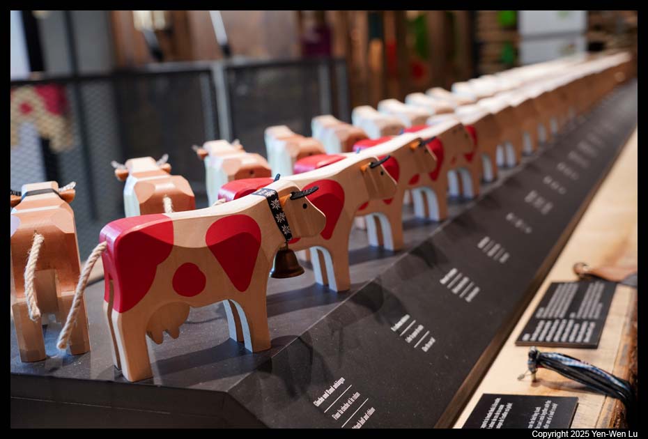
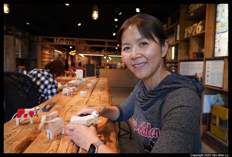
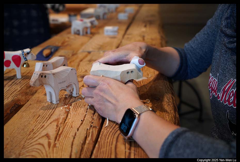
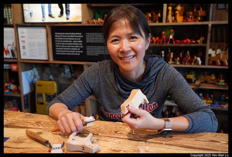
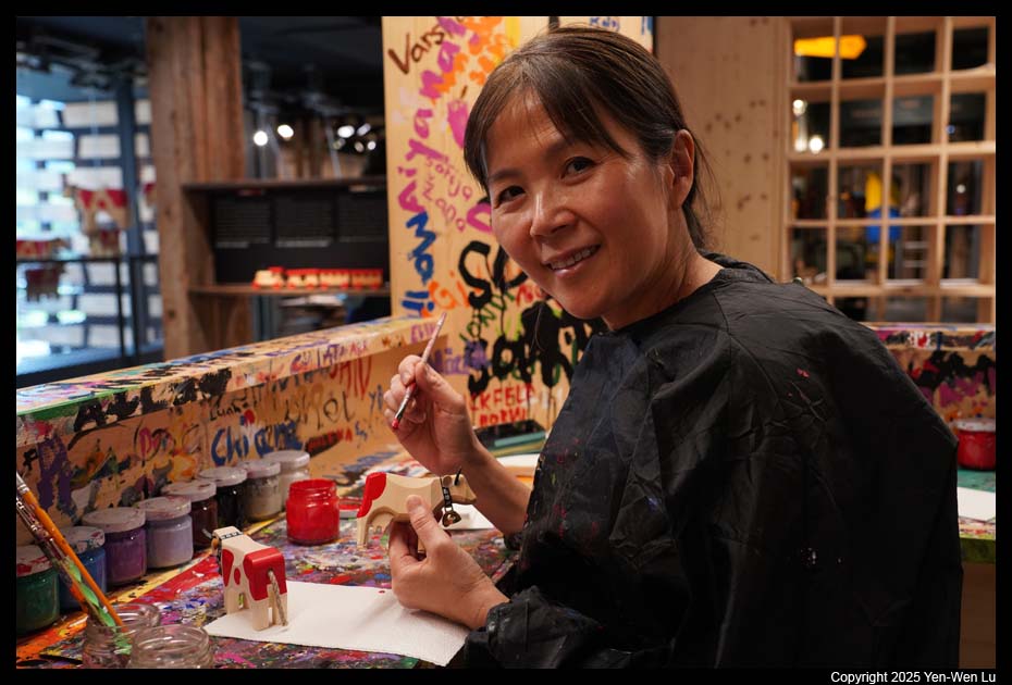
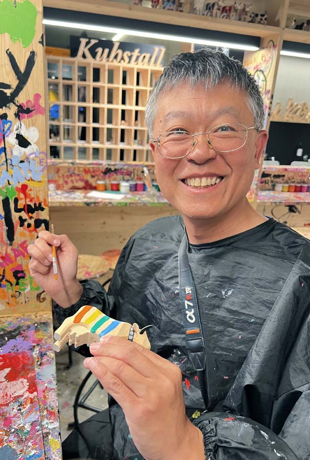
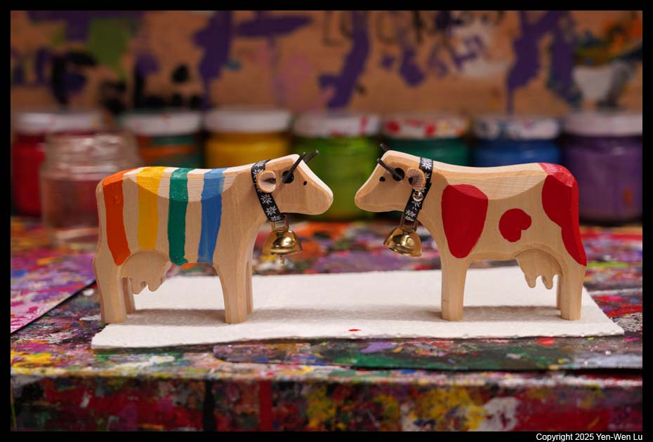
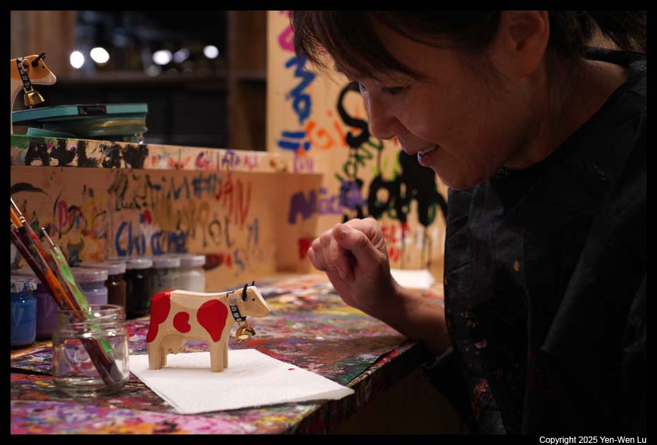
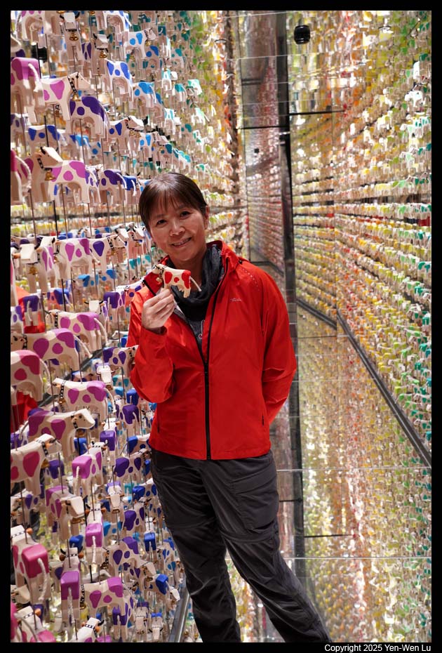
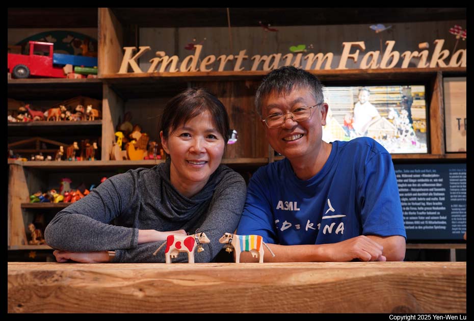
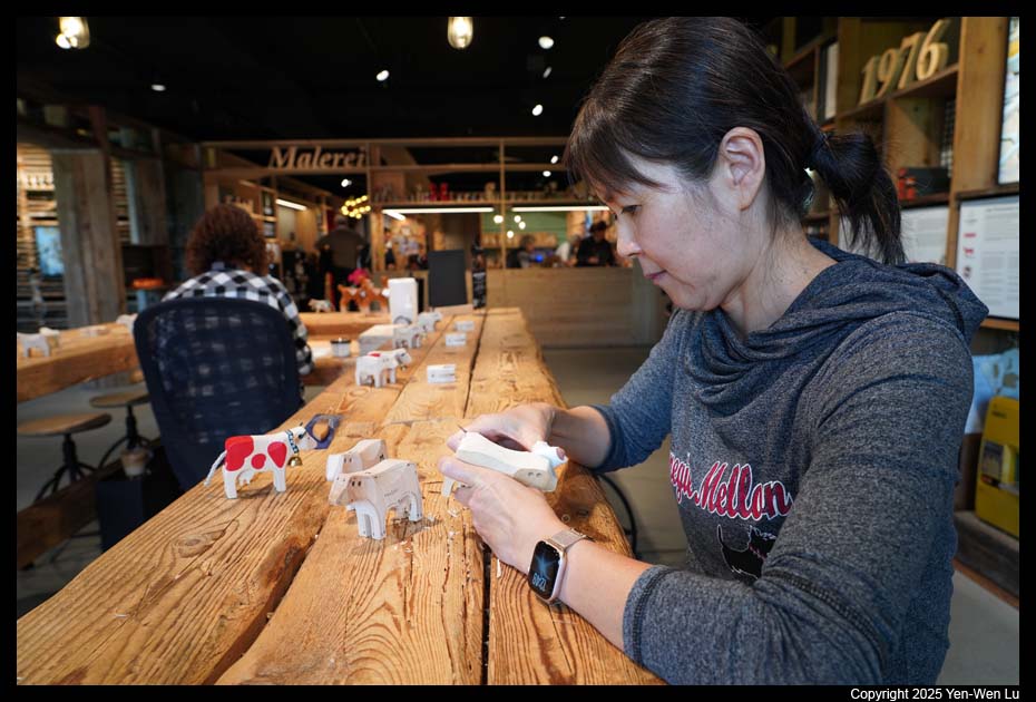
- Trauffer Erlebniswelt
Since we had plenty of time in Brienz area, we took a bus to visit the
Trauffer World of Experiences in Hofstetten. The Trauffer World
of Experience is a small museum/workshop and presents the traditional
craftsmanship of carved wooden cows in Switzerland. The Trauffer
family has been making sustainable toys and souvenirs from lime wood since
1938. In the World of Experience, you have the opportunity to learn more
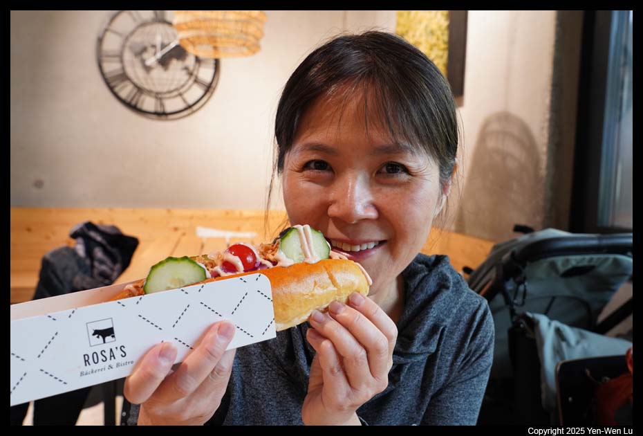
about the history, tradition and sustainable production. We first had
a quick lunch (the most fancy
hotdog we've ever had), and then we spent some time to
carve and
paint our own cows.
It's a fun experience to be a kid again!
We then decided to walk to a
nearby train station (Brienzwiler) to take a train back to Interlaken.
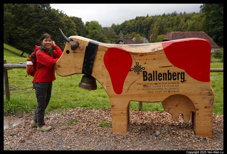
The route we chose would pass through Ballenberg, a Swiss Open-Air Museum.
We negotiated with the staff at the entrance to let us walk through without
paying for the entrance tickets :-)
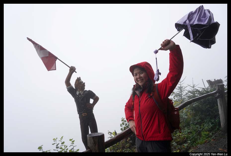
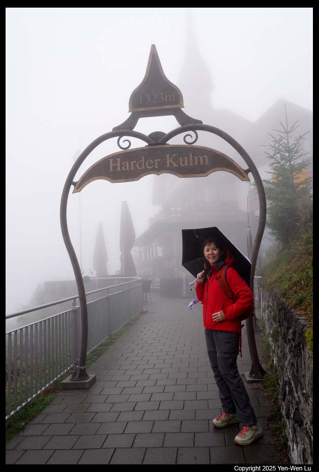
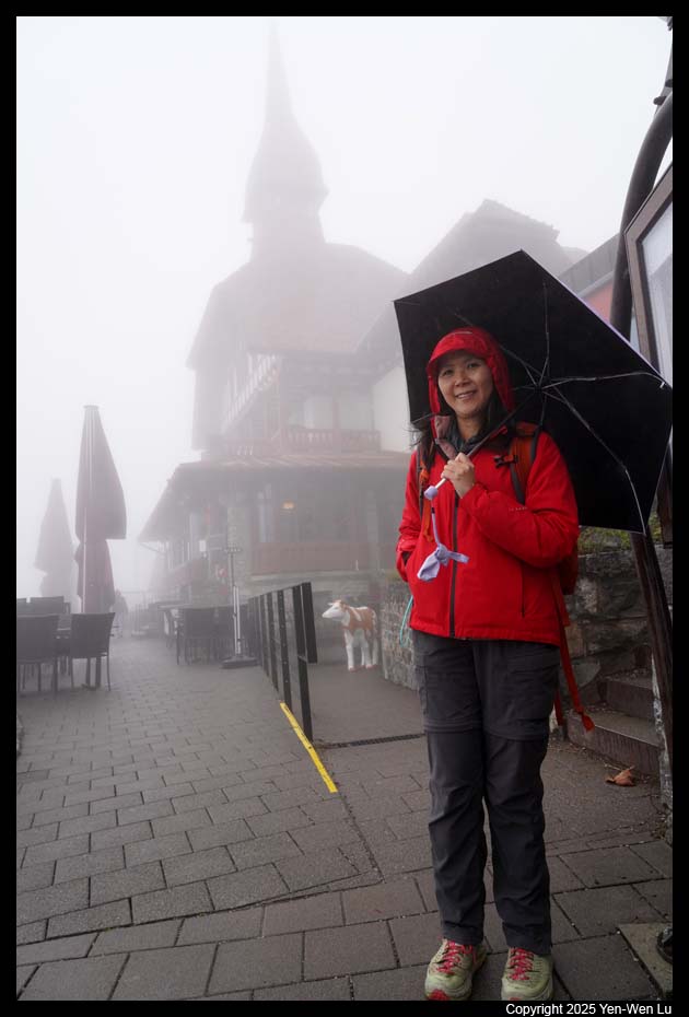
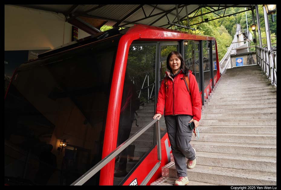
- Harder Kulm
When we got off the train at Interlaken Ost, we decided
to make a detour to take the funicular to Harder Kulm. Although we
knew it was cloudy/rainy and it would not be possible to have any good view
up there, we just took the funicular for fun (and it was free since we had
Jungfrau Travel Pass). Indeed it was all white out when we got to the
top, and most people (including us) just went back to catch the next
funicular down.
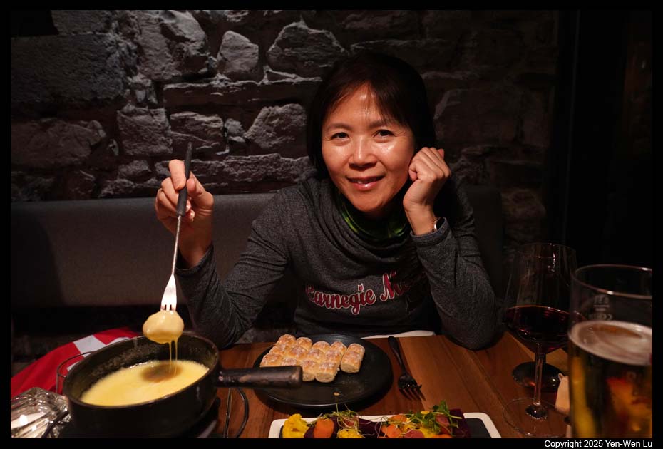
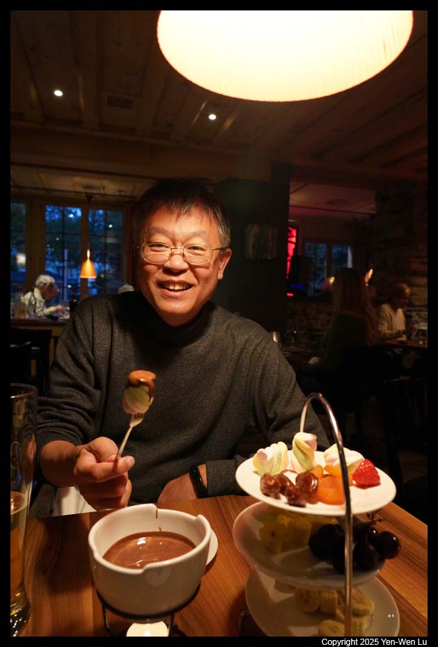
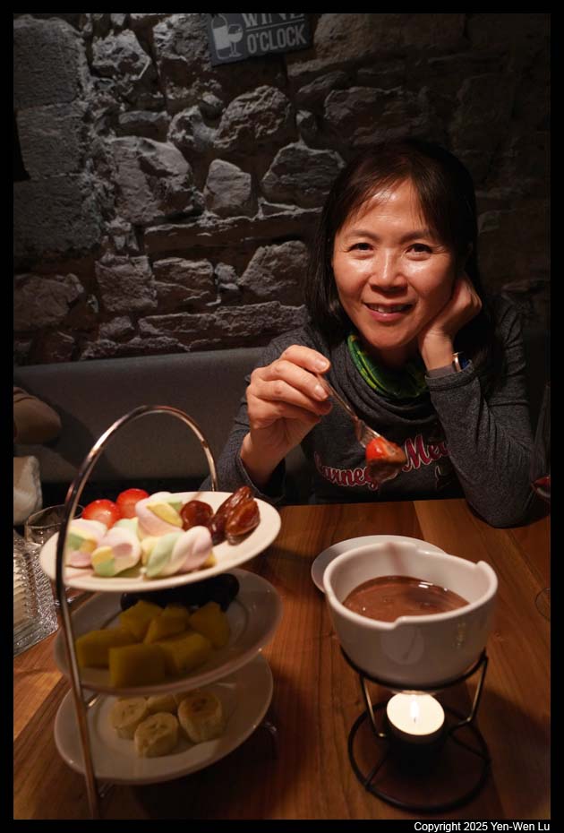
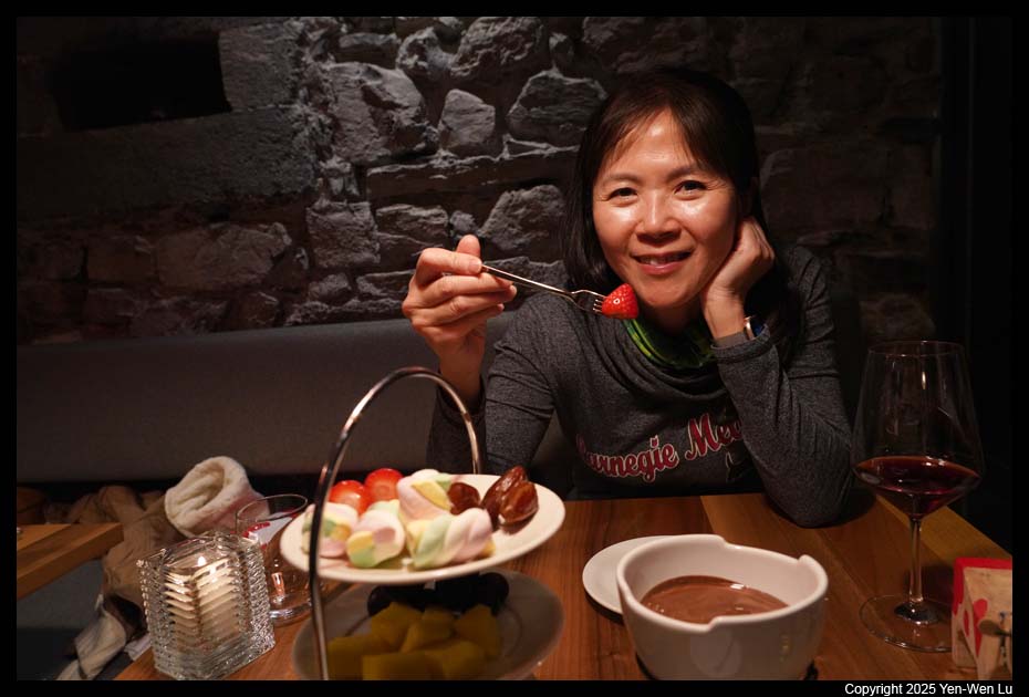
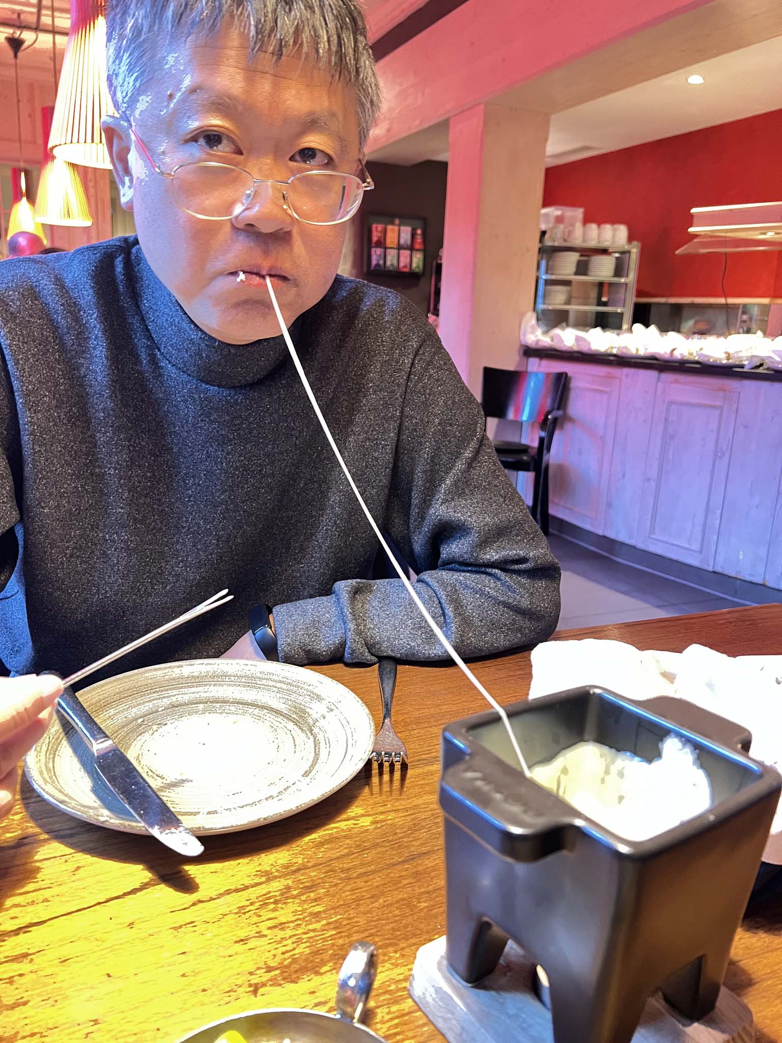
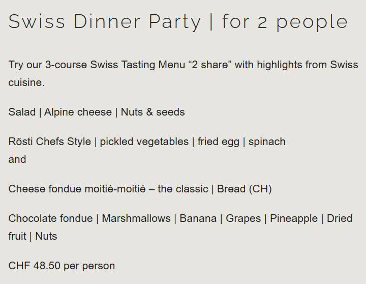
- Fondue Dinner
We made a reservation at our hotel restaurant again to
have a 2-person fondue dinner (since the
fondue appetizer last night was so good and far from enough).
Day 11 (9/24), Going Home ...
We started our train ride from Interlaken to Zurich at about 8:30AM for our
flight at 1:30PM. Switzerland is really a good example of combining
nature and civilization together. The convenient and efficient public
transportation brings you to the nature and wilderness closer than you think.
From the majestic Matterhorn to car-free alpine villages, from the green
pastures filled with the sound of cow bells to the backdrop of snow-capped
mountains, from the pristine turquoise lakes to deep glacier-carved valleys
decorated with waterfalls, Swiss Alps are truly dream destinations for us.
Zermatt and Jungfrau regions are good starting points and samples of what Swiss
Alps can offer, and we cannot wait to come back to more different regions in
different seasons.
[Back to Photo Page]
[Gallery]


