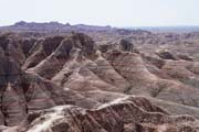
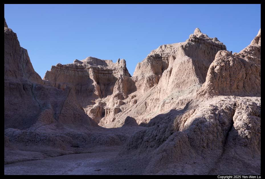
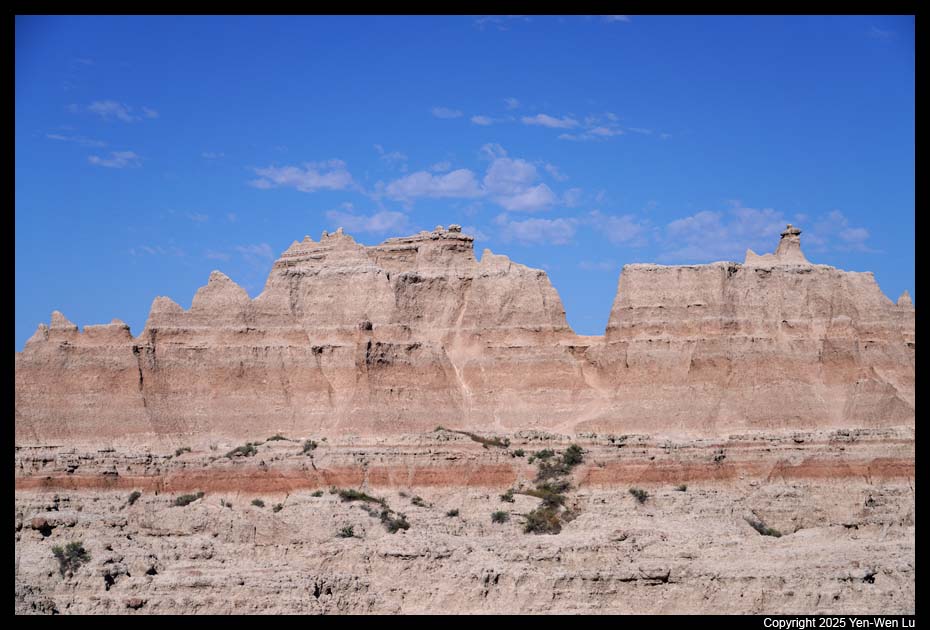
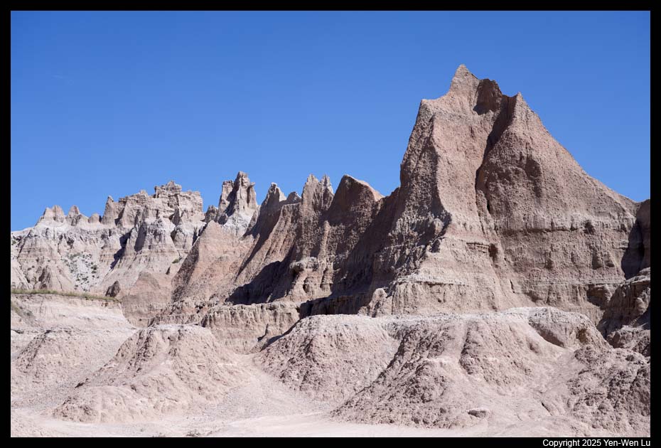
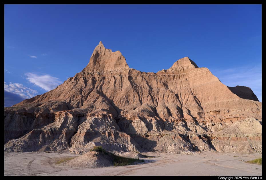
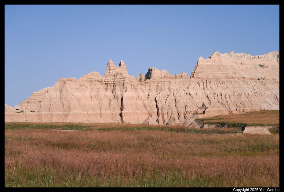
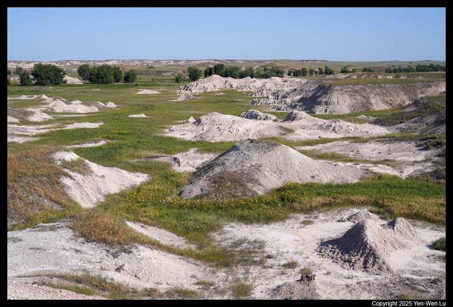
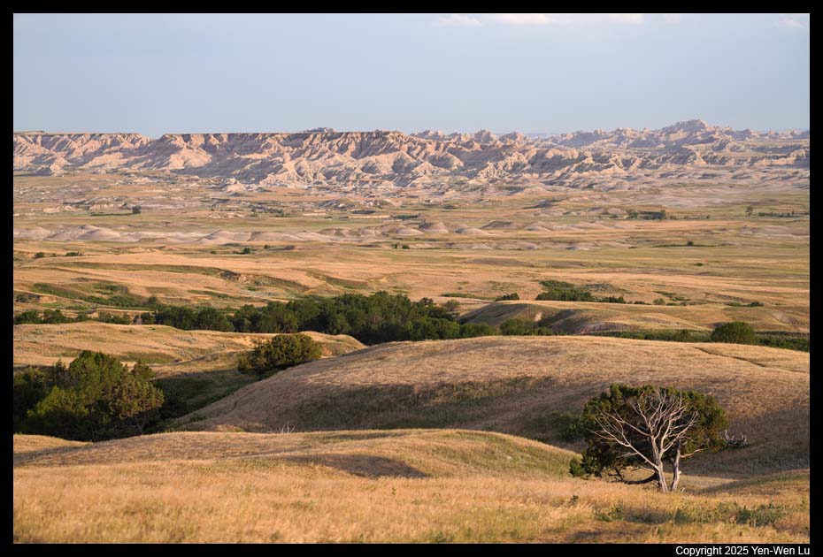
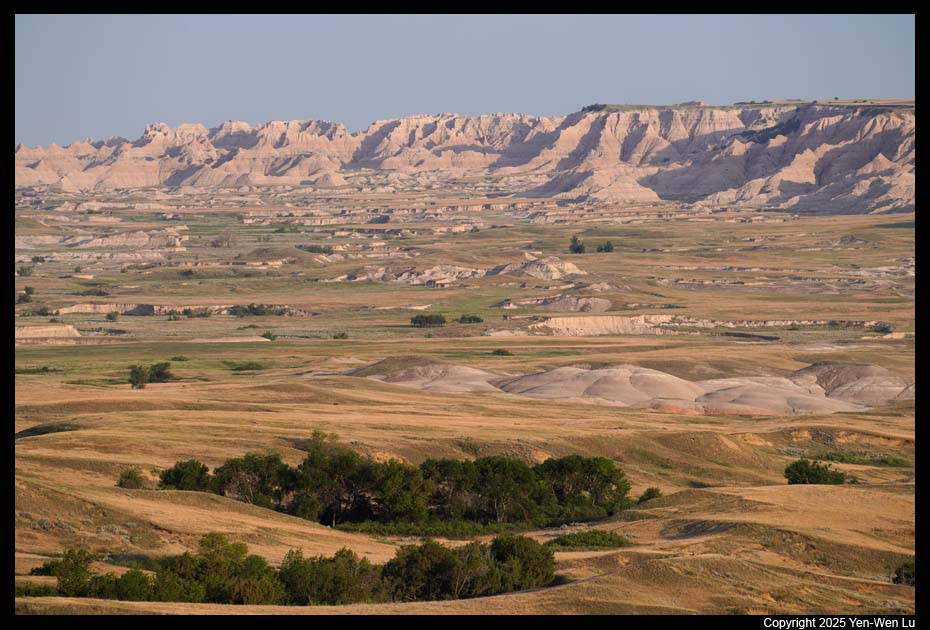
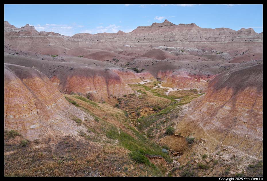
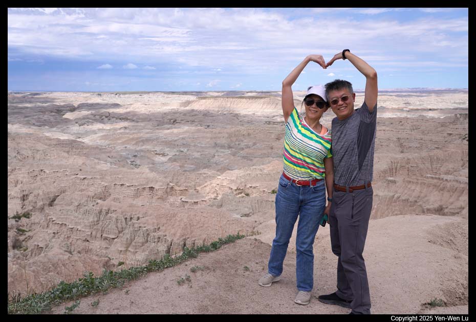
Badlands National Park is a vast wilderness of jagged buttes, spires and
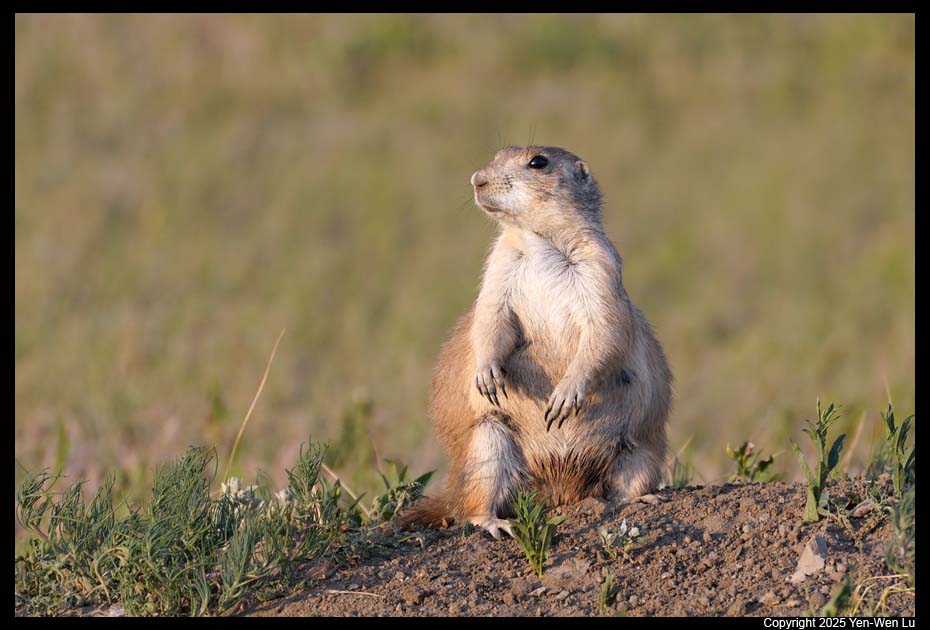
pinnacles, the largest undisturbed mixed-grass prairie in the United States, and
the world’s richest trove of fossils from the Oligocene epoch, estimated at 23
to 35 million years old. Badlands National Park offers some of the
most striking otherworldly landscapes found in South Dakota with its stark rock
formations and rolling prairies. Badlands was established a national
monument in 1939, and was redesignated a national park in 1978. The movie
Dances with Wolves (1990) was partially filmed in Badlands National Park.
Getting there ...
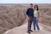
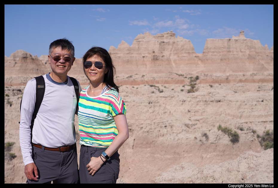
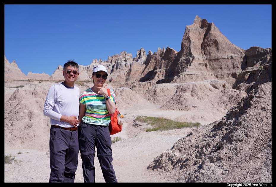
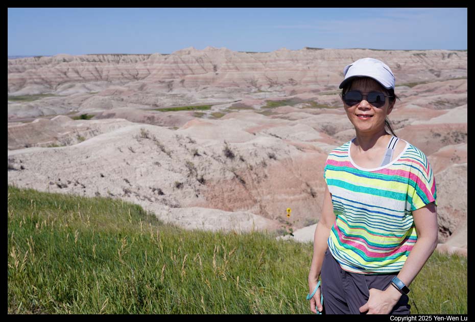
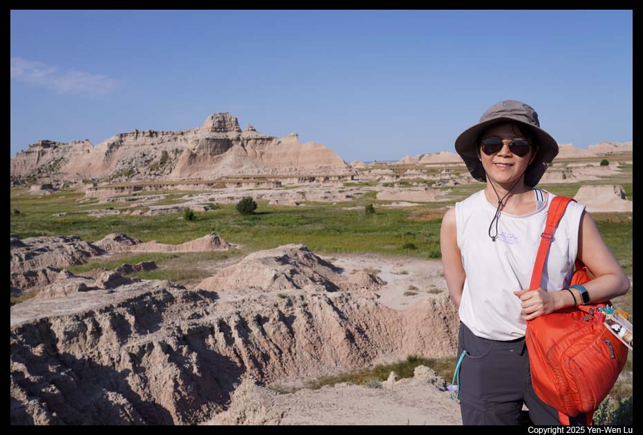
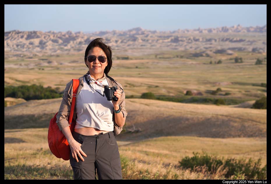
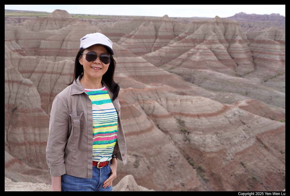
We continued our Dakota trip after
visiting Mount Rushmore, Custer
State Park, Wind Cave and Jewel Cave, and arrived in Badlands National
Park and checked in to the Cedar Pass
Lodge (the only lodge inside the national park) at about 3PM.
Day 7 (6/26) ...
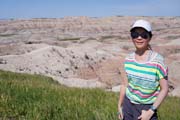
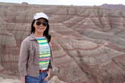
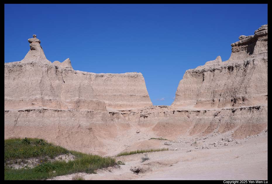
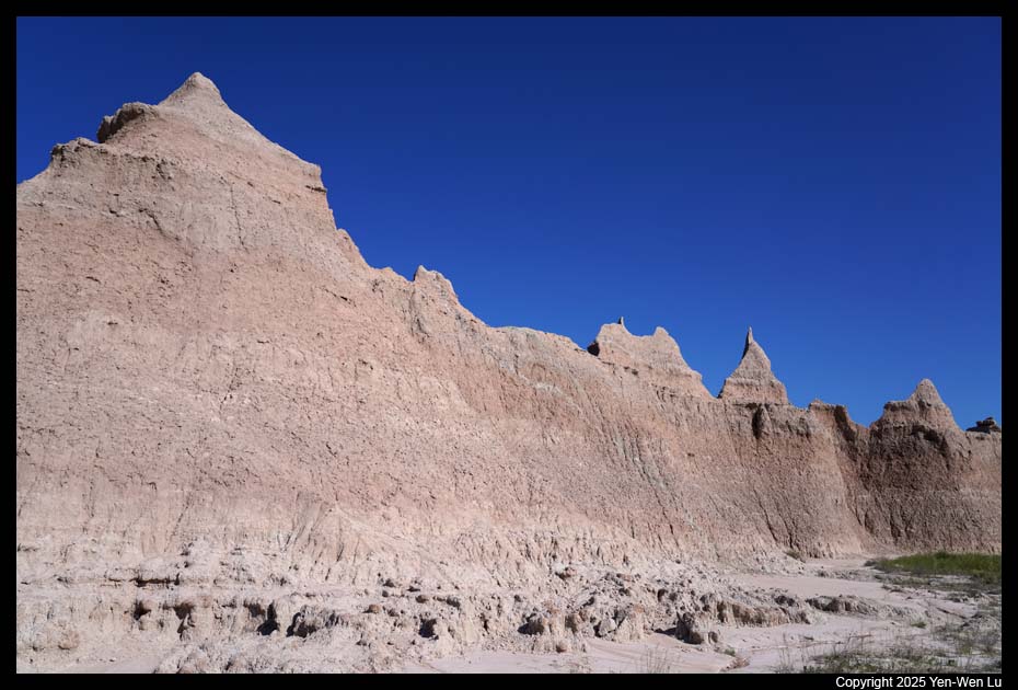
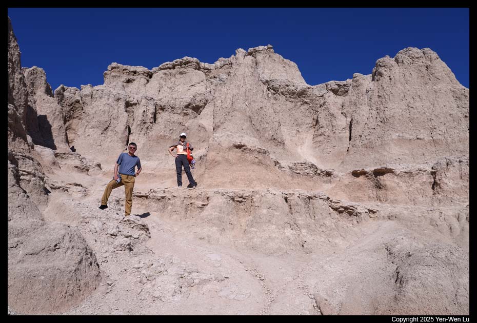
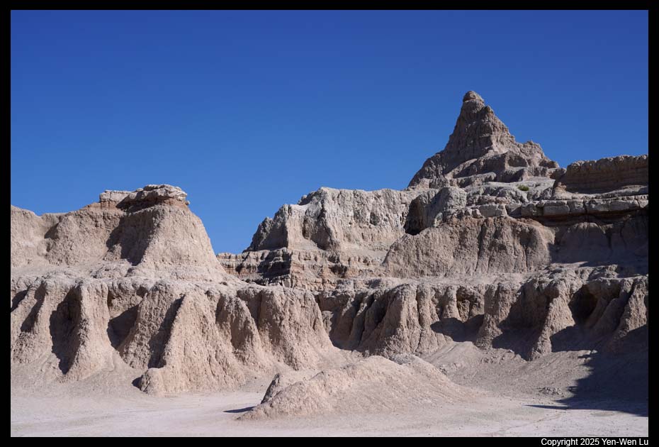
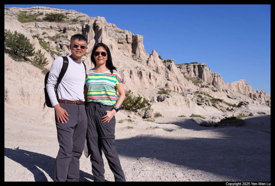
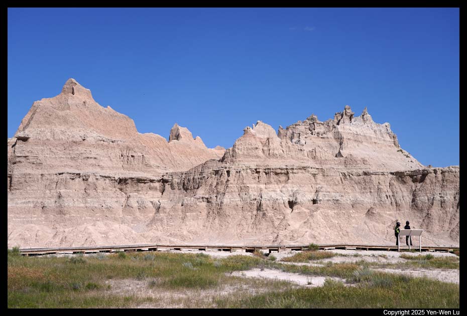
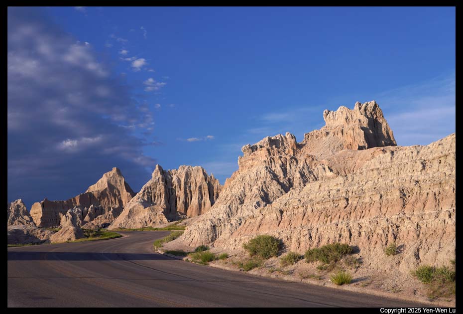
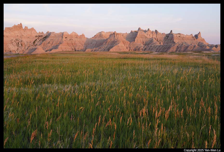
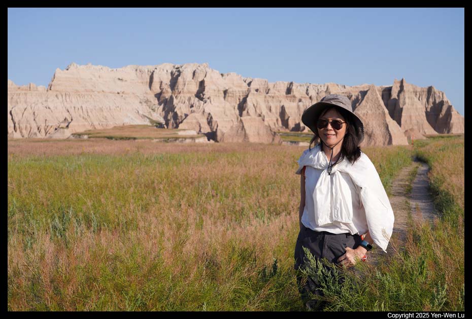
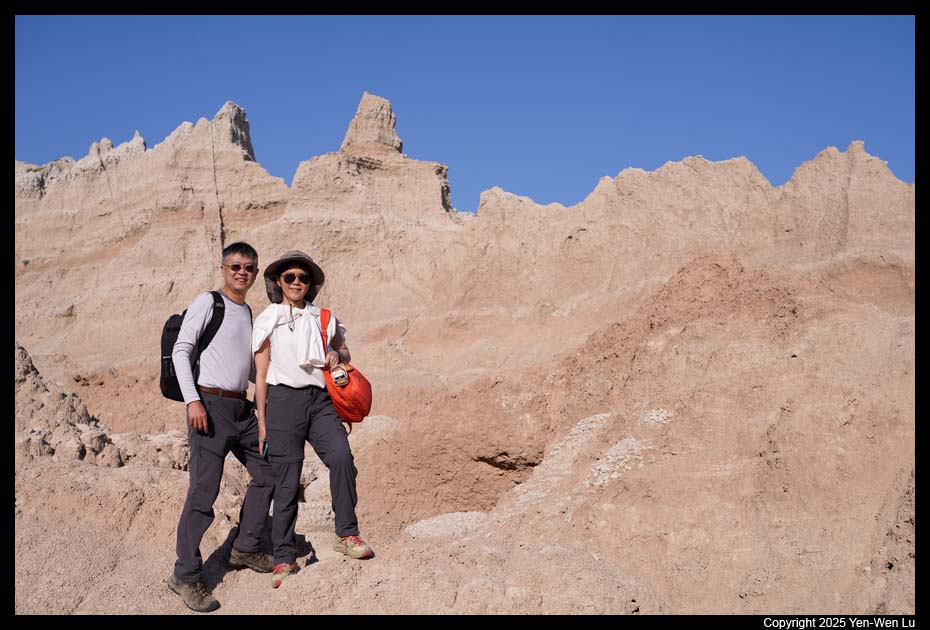
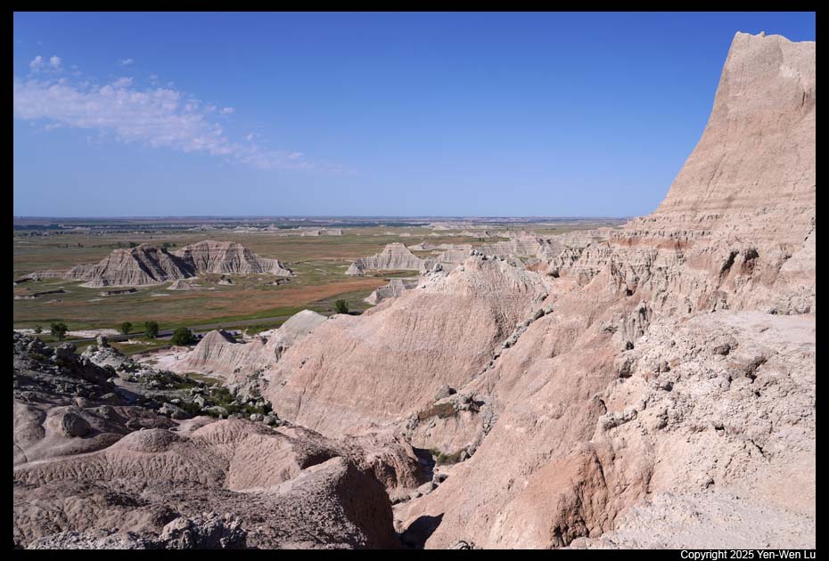
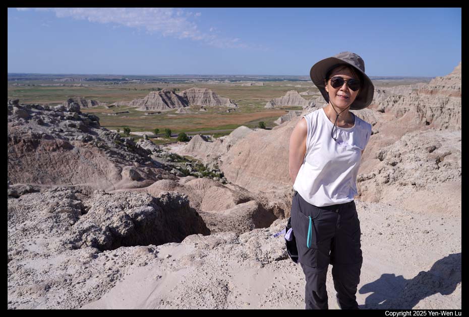
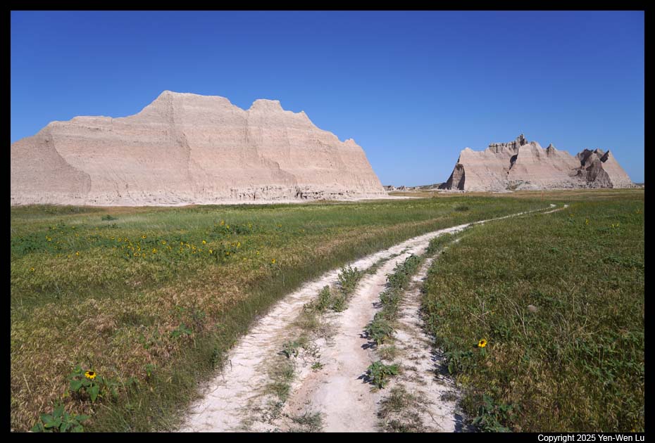
- Door & Window Trails
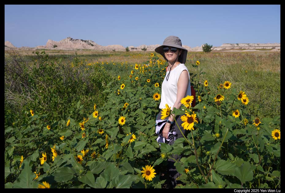
After a short break in our cabin, we went to the
Door and Window trails, two very short trails sit side-by-side with great
views of the badlands.
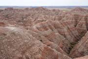
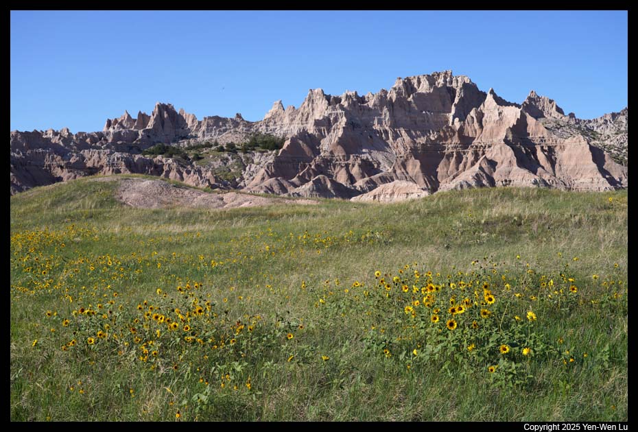
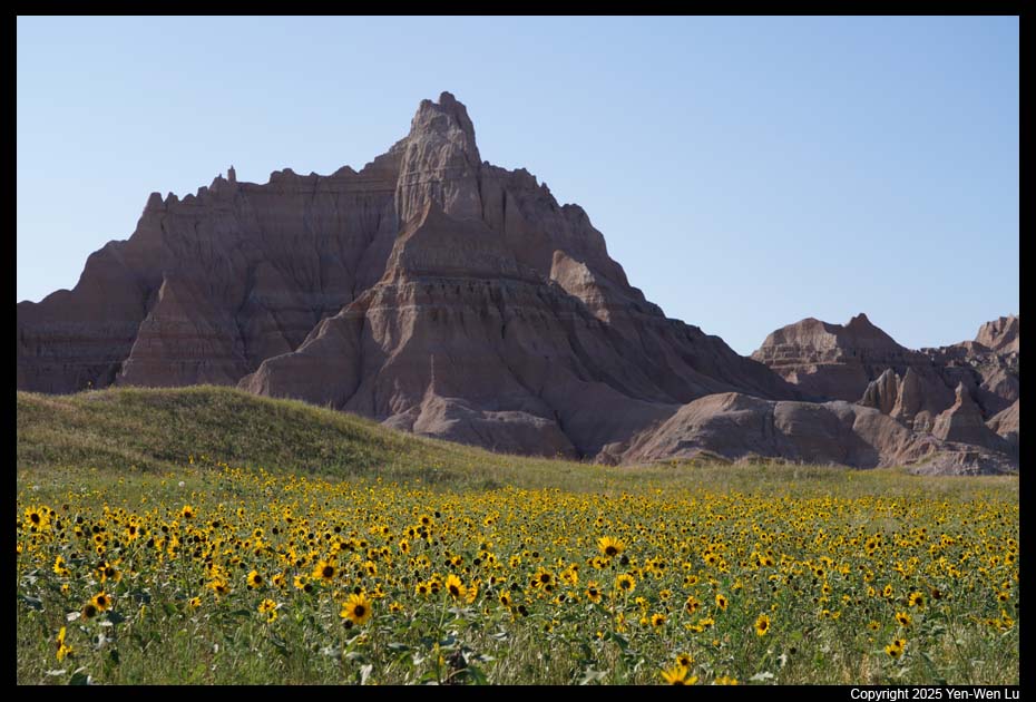
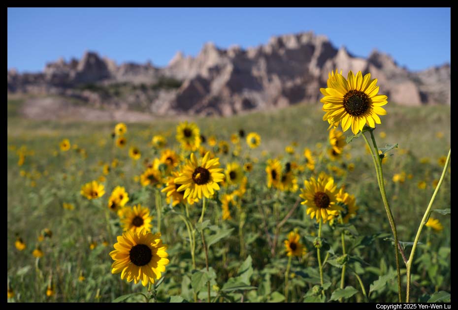
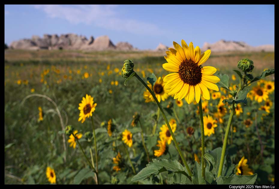
- Cedar Pass
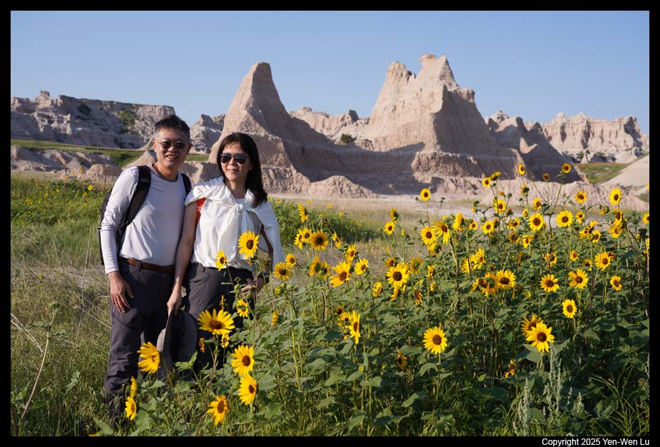
The wildflowers were blooming everywhere!
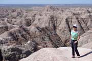
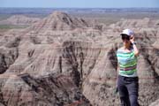
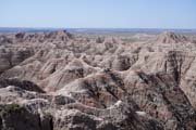
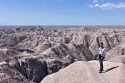
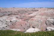
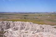
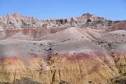
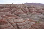
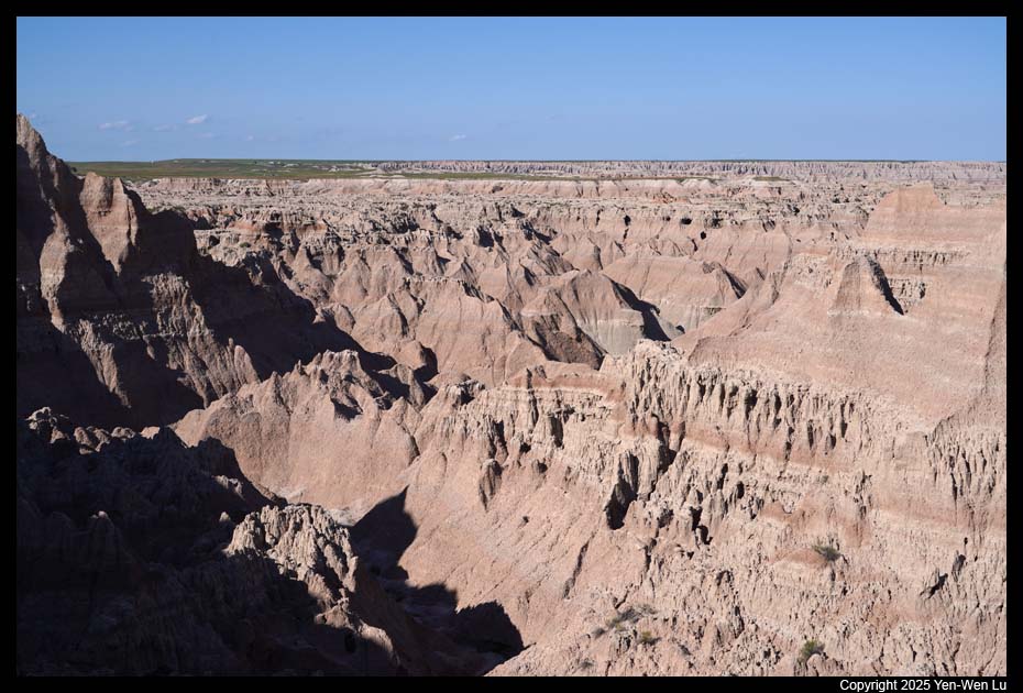
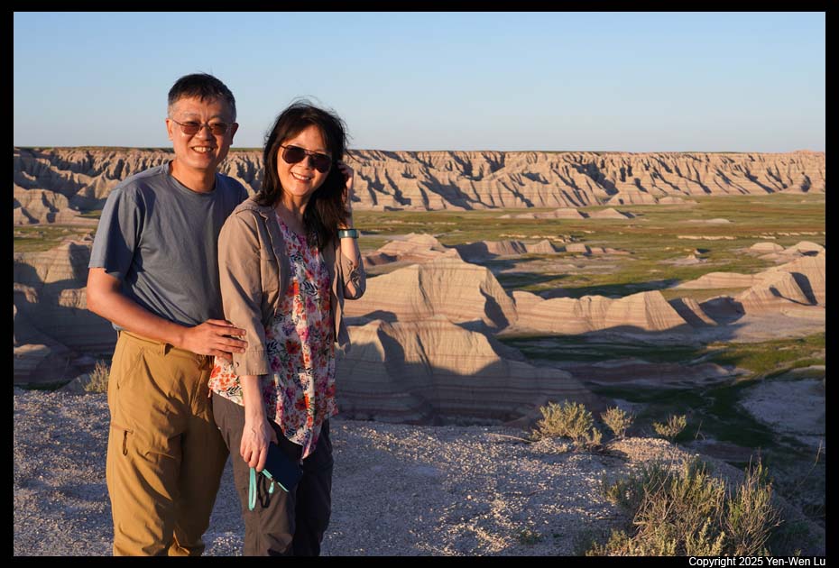
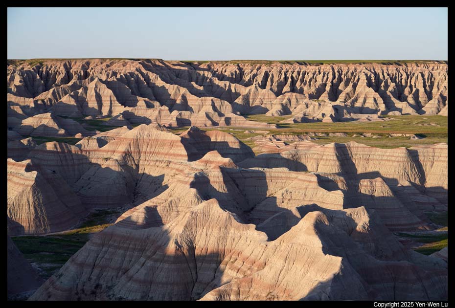
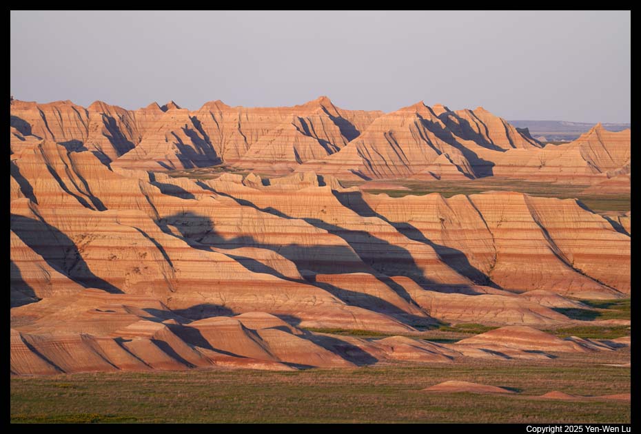
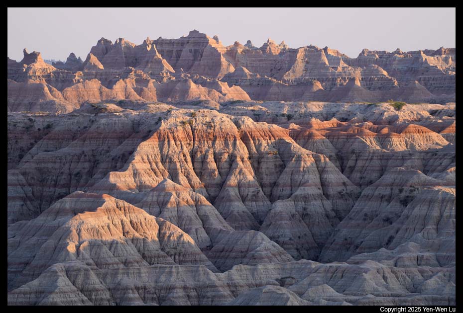
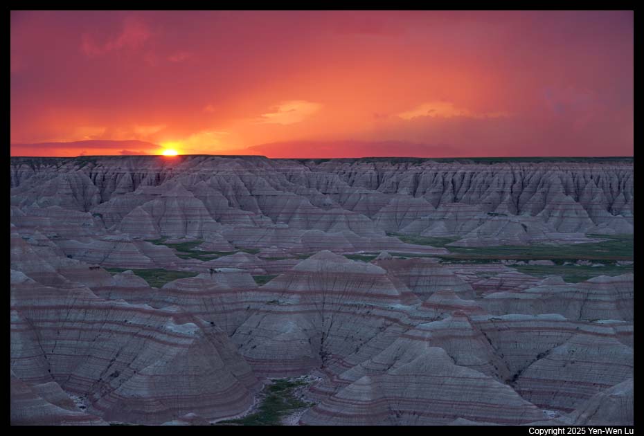
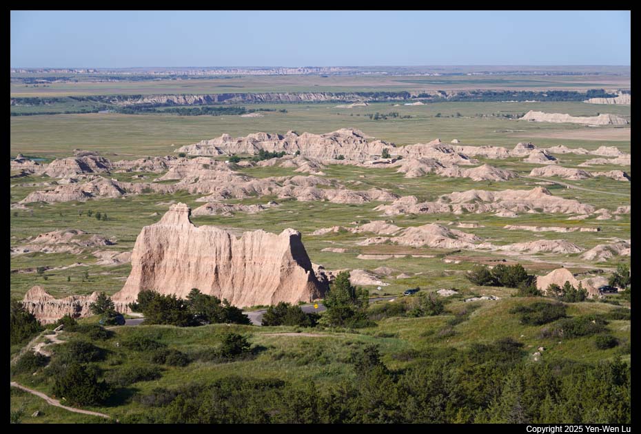
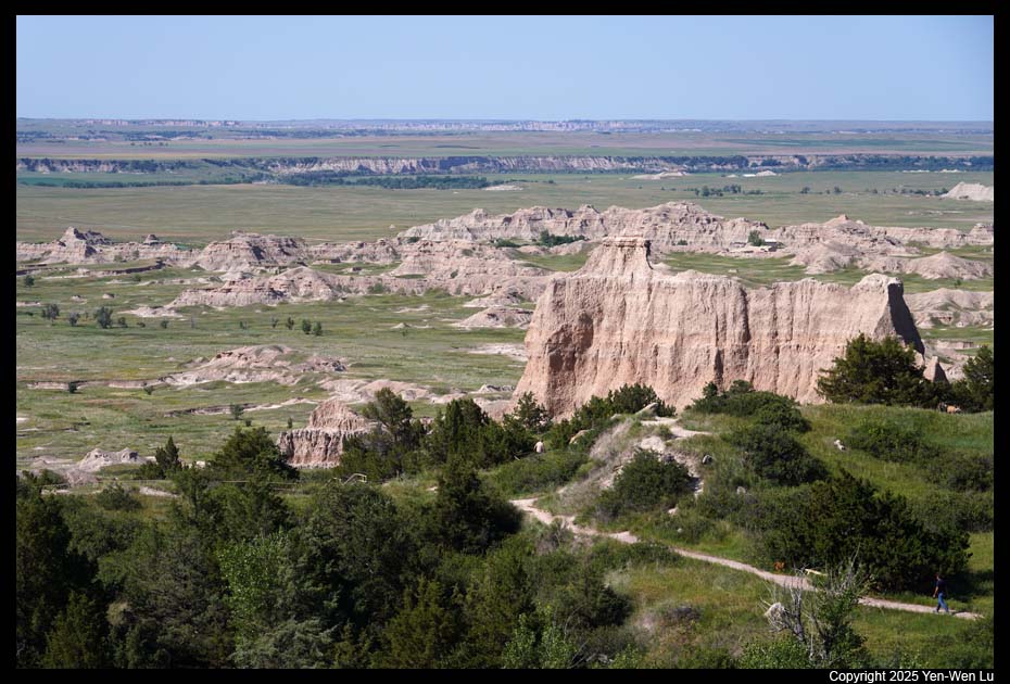
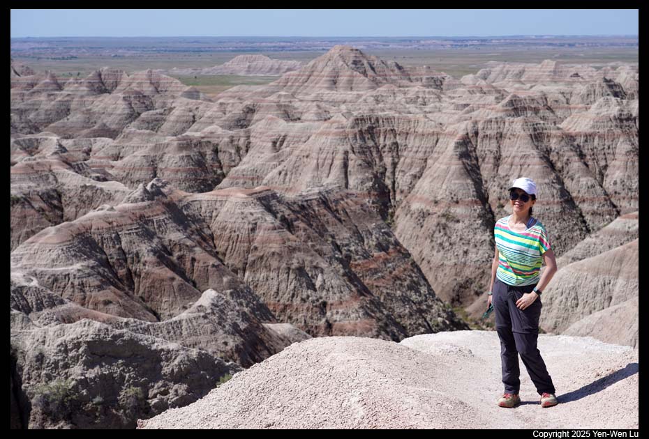
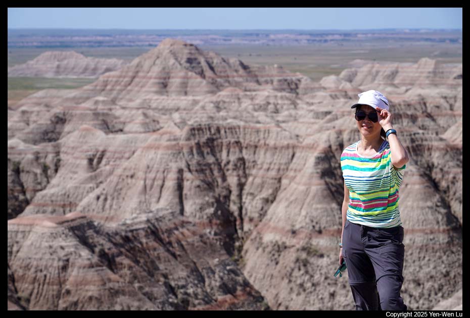
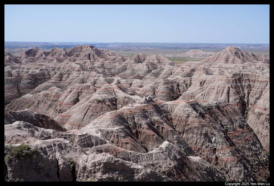
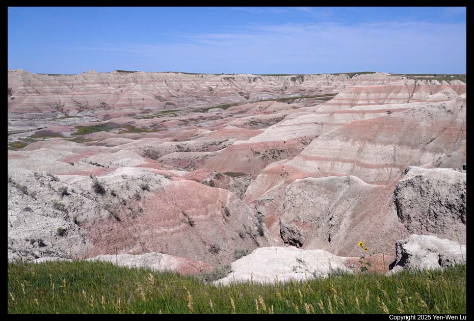
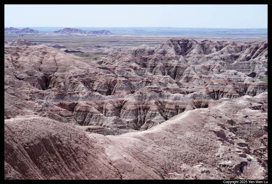
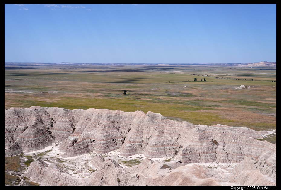
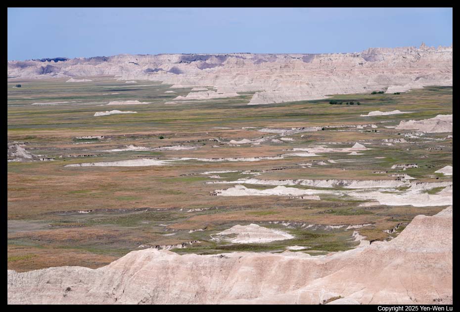
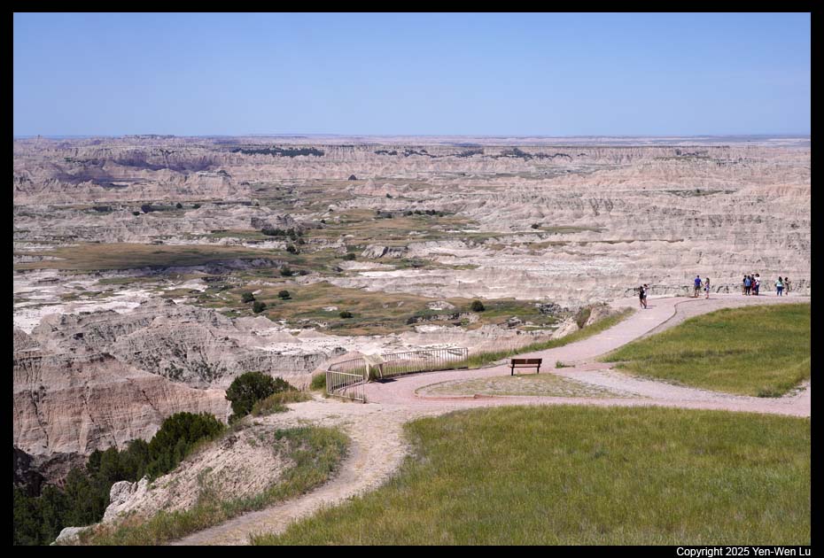
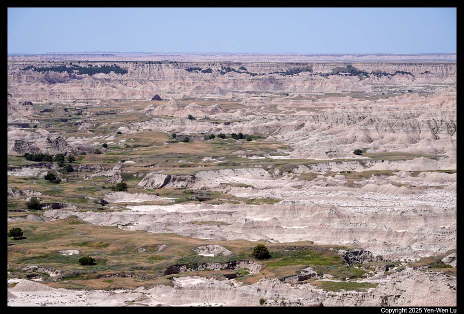
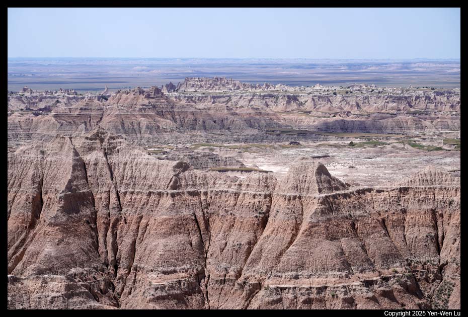
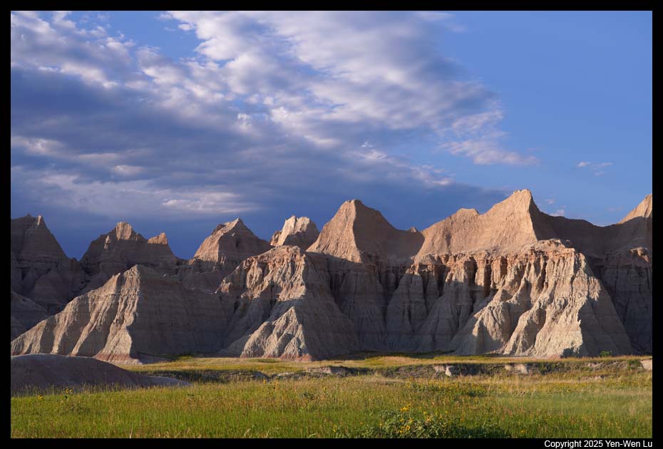
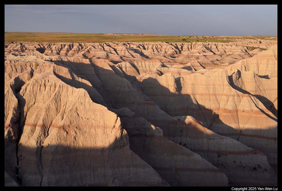
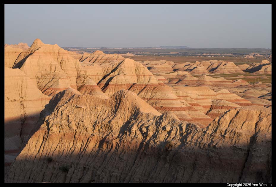
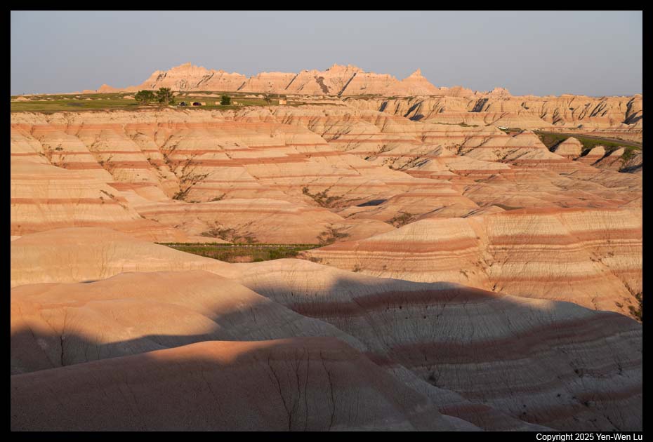
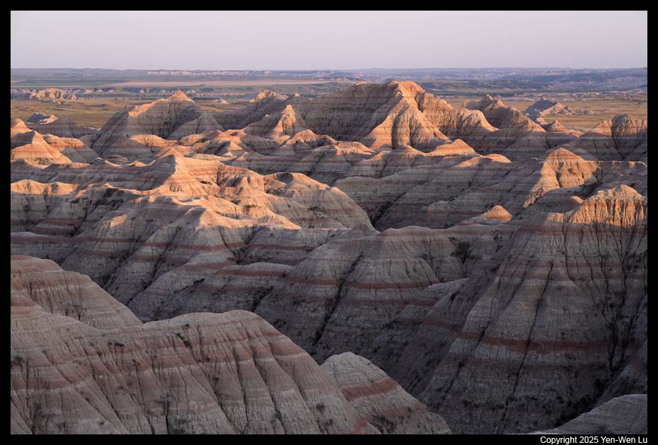
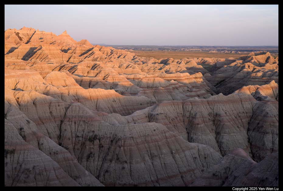
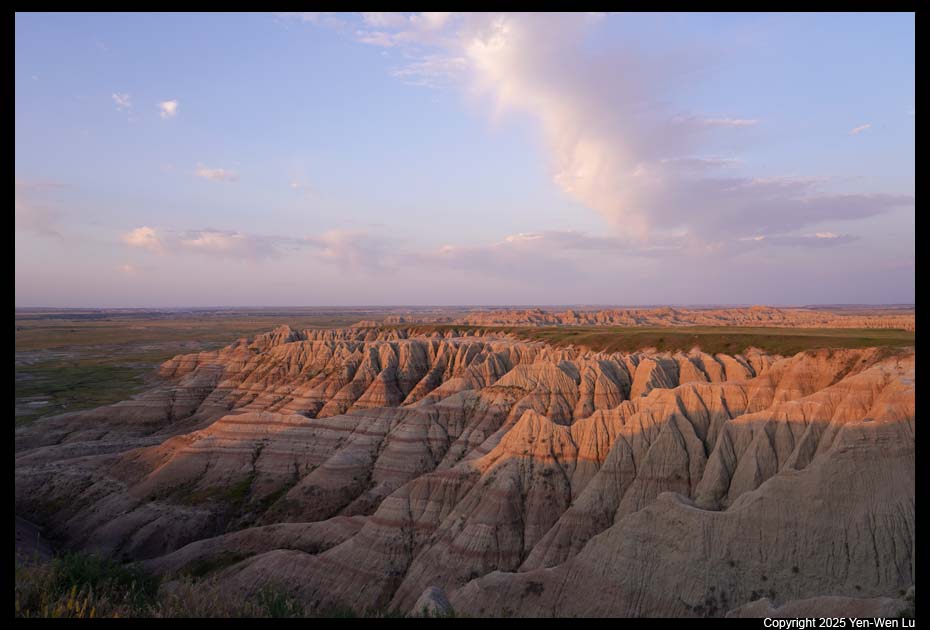
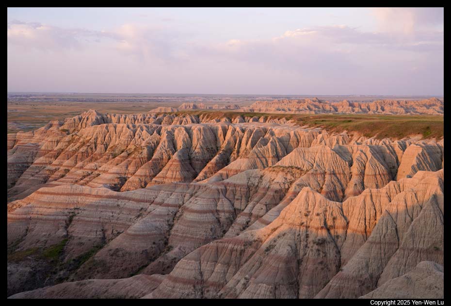
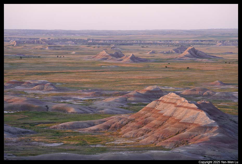
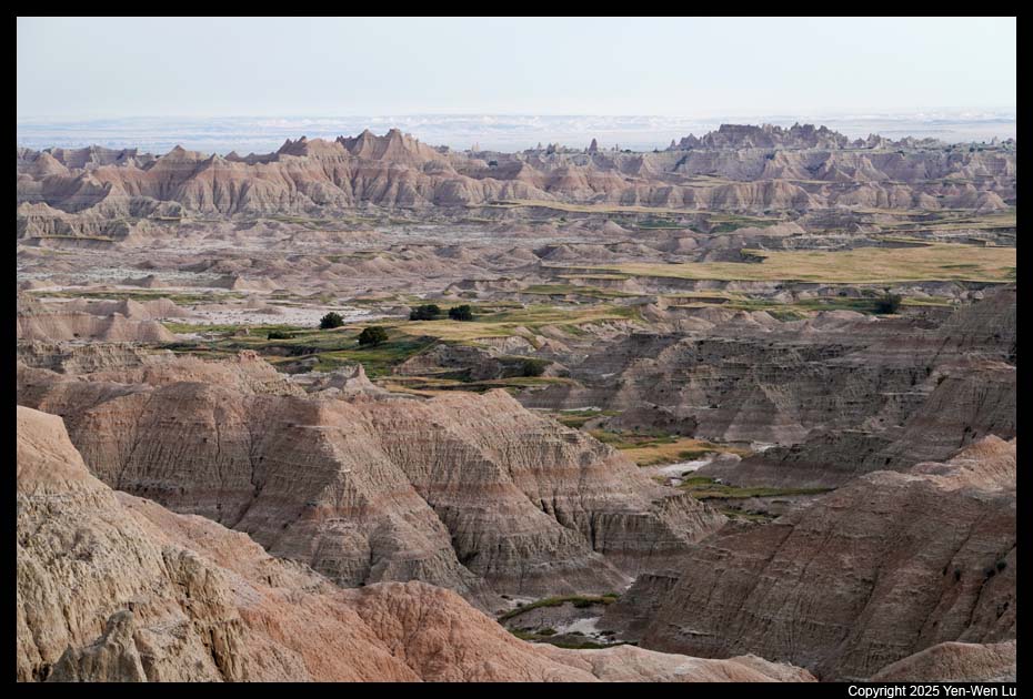
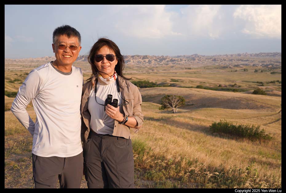
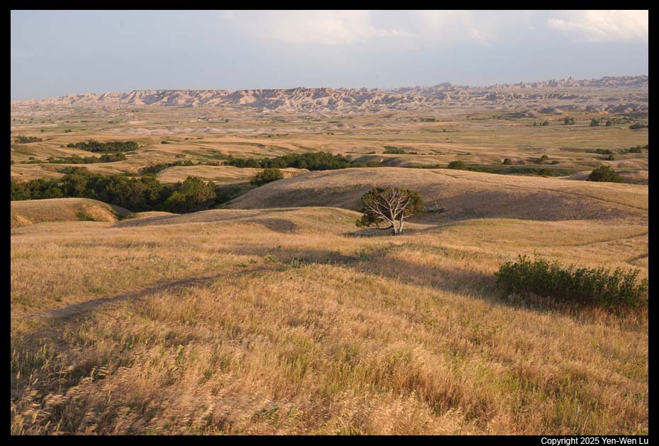
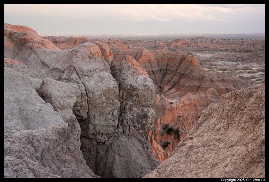
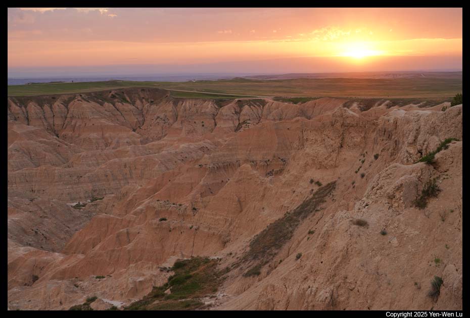
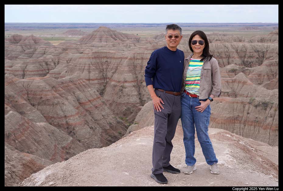
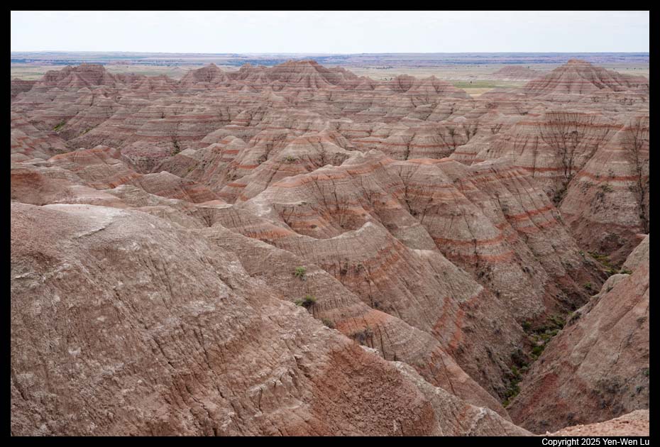
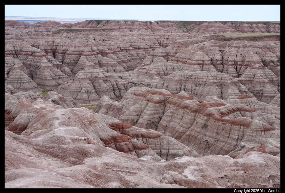
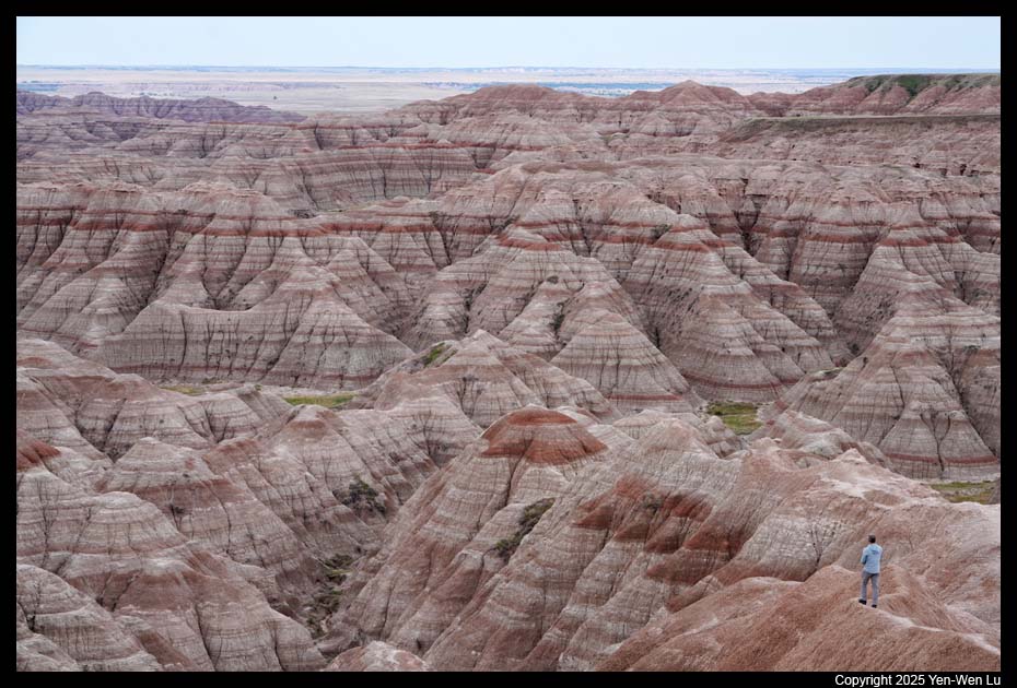
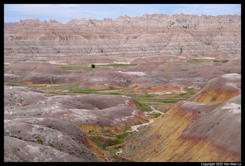
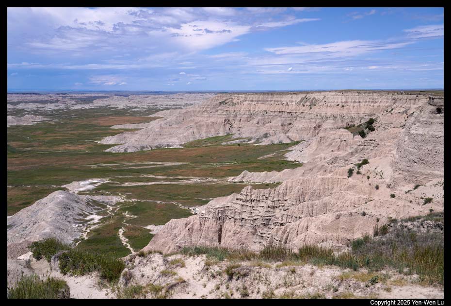
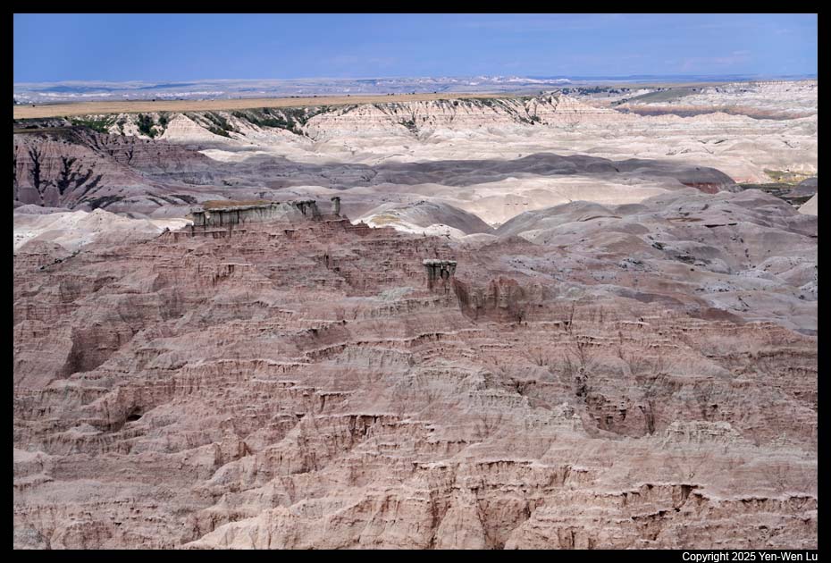
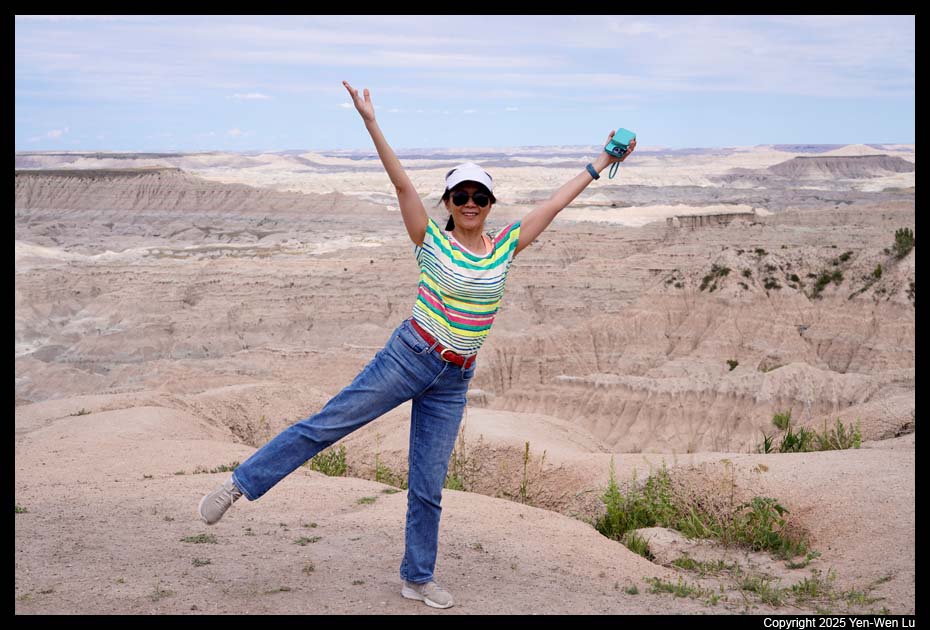
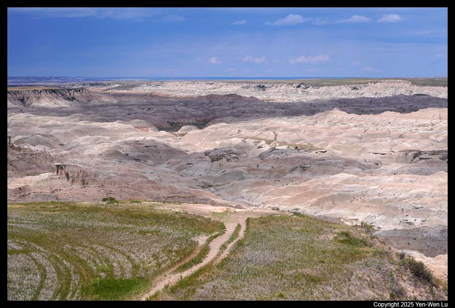
- Big Badlands Overlook
We went to the Big Badlands Overlook during
sunset time. The horizontal striped patterns are particularly visible
here. It is one of the best overlooks of badlands in the park.
Day 8 (6/27) ...
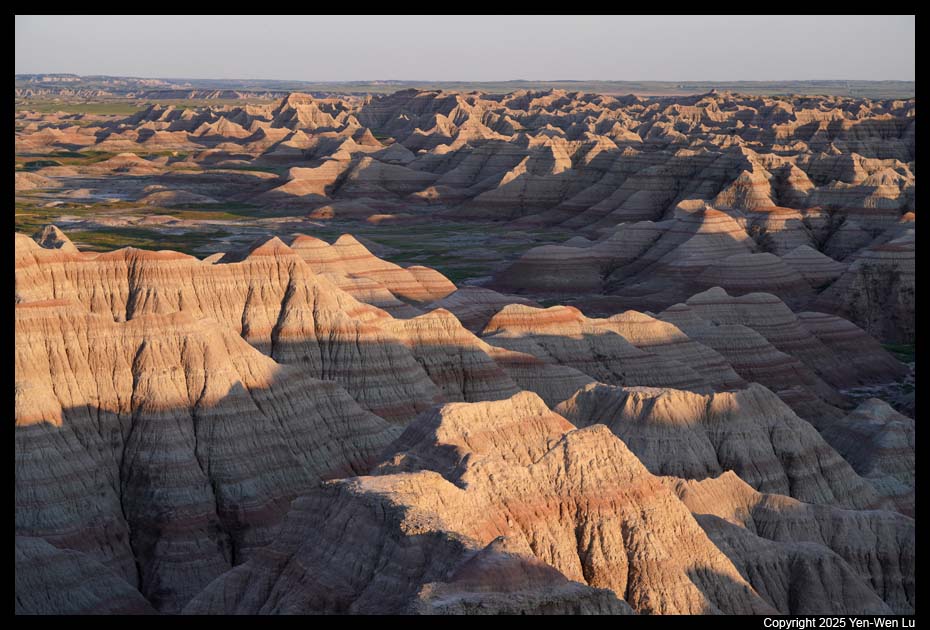
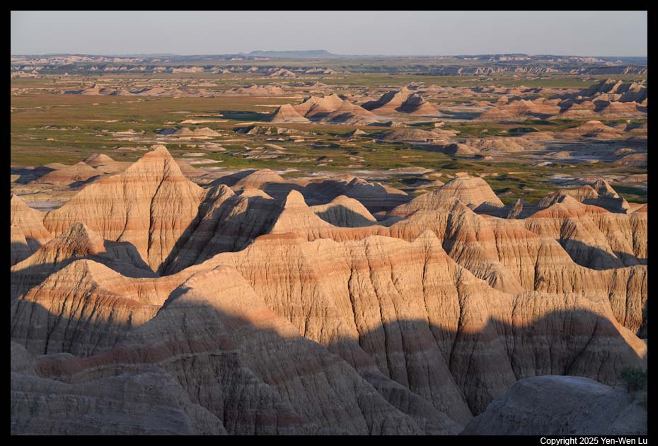
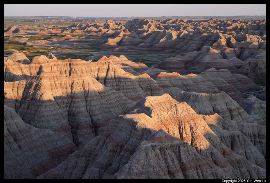
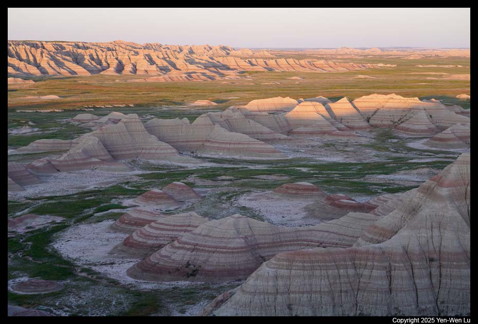
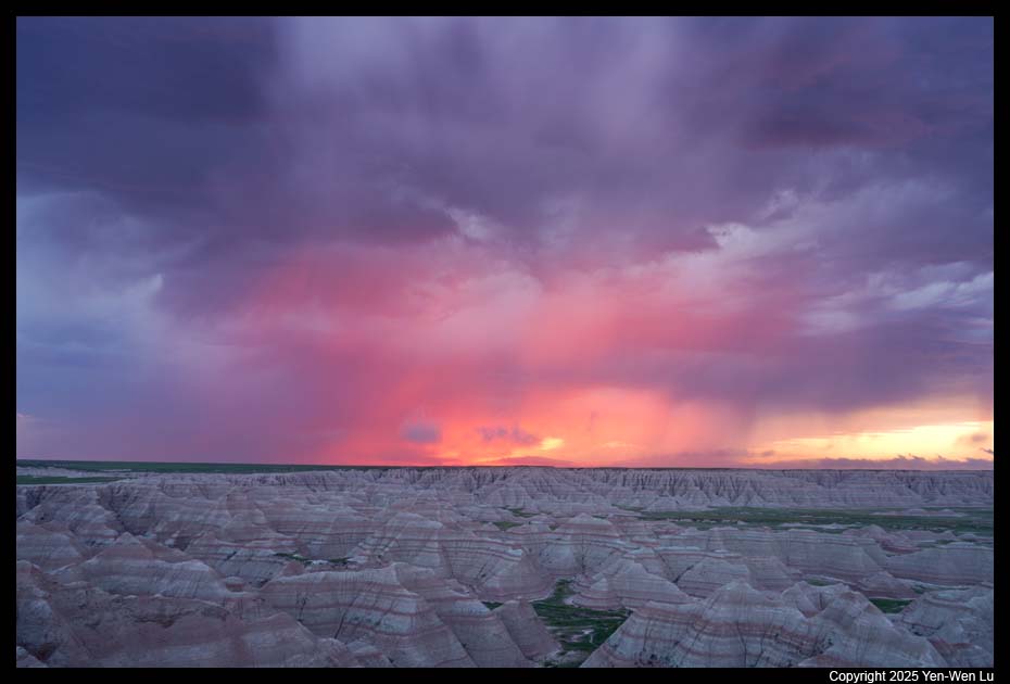
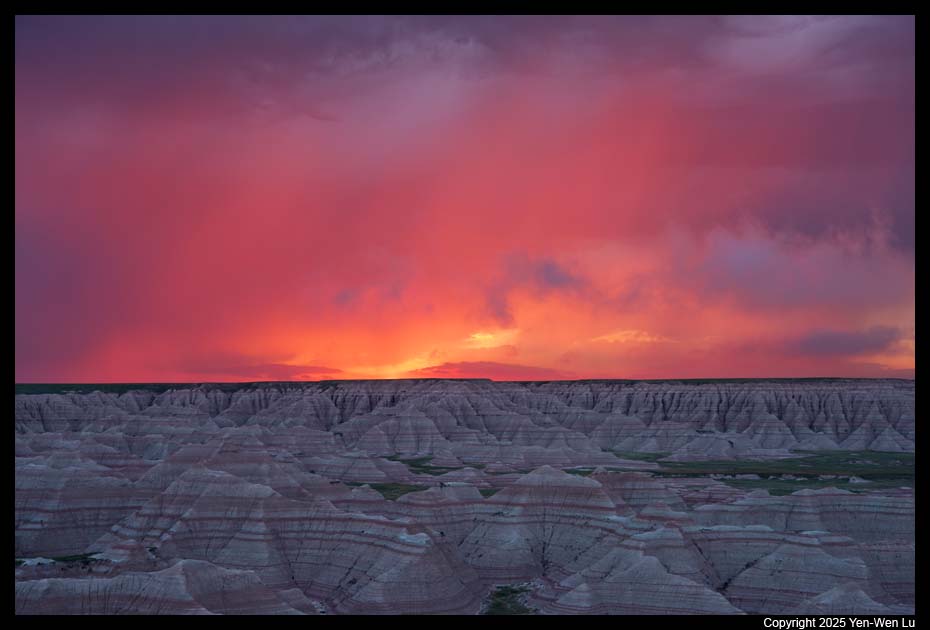
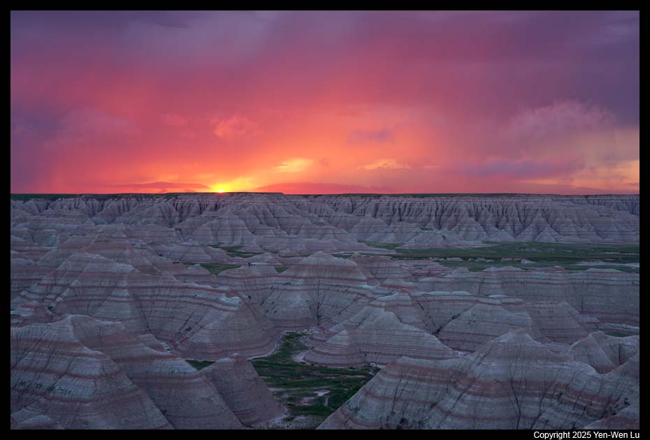
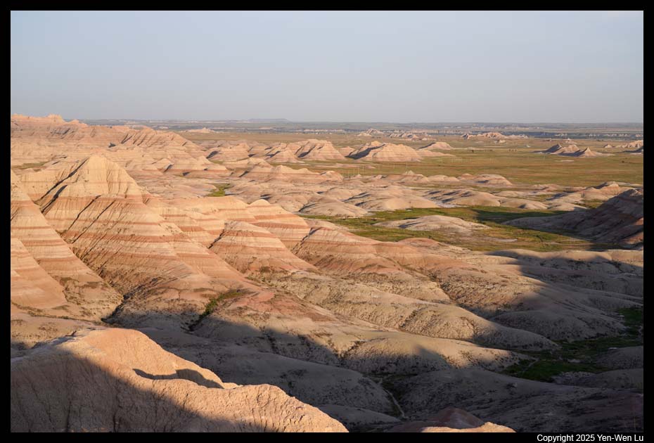
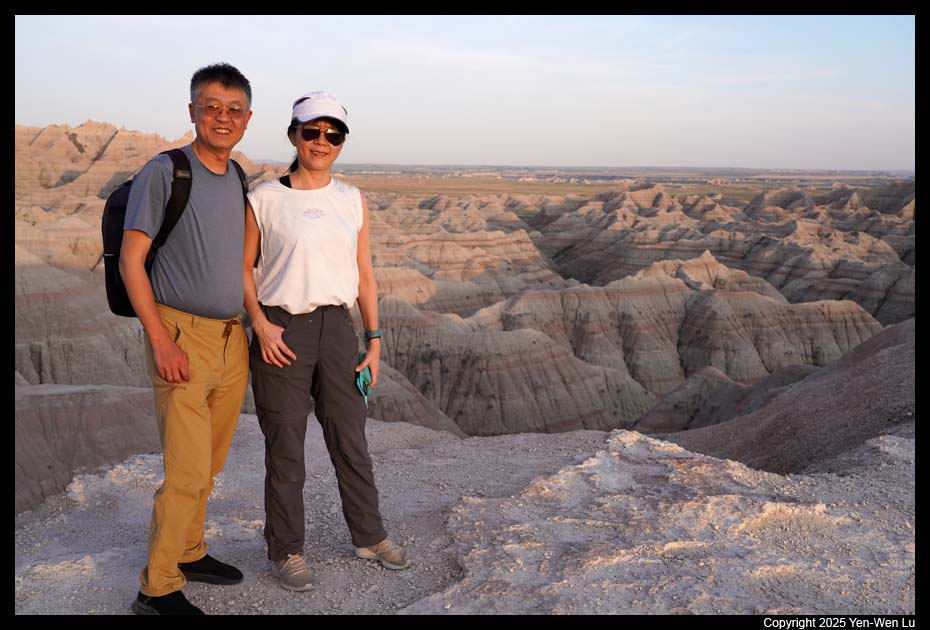
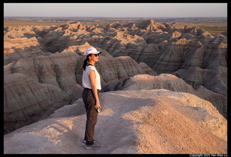
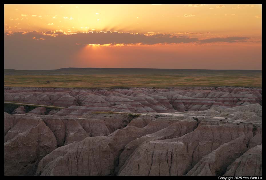
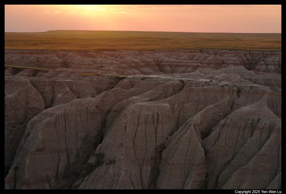
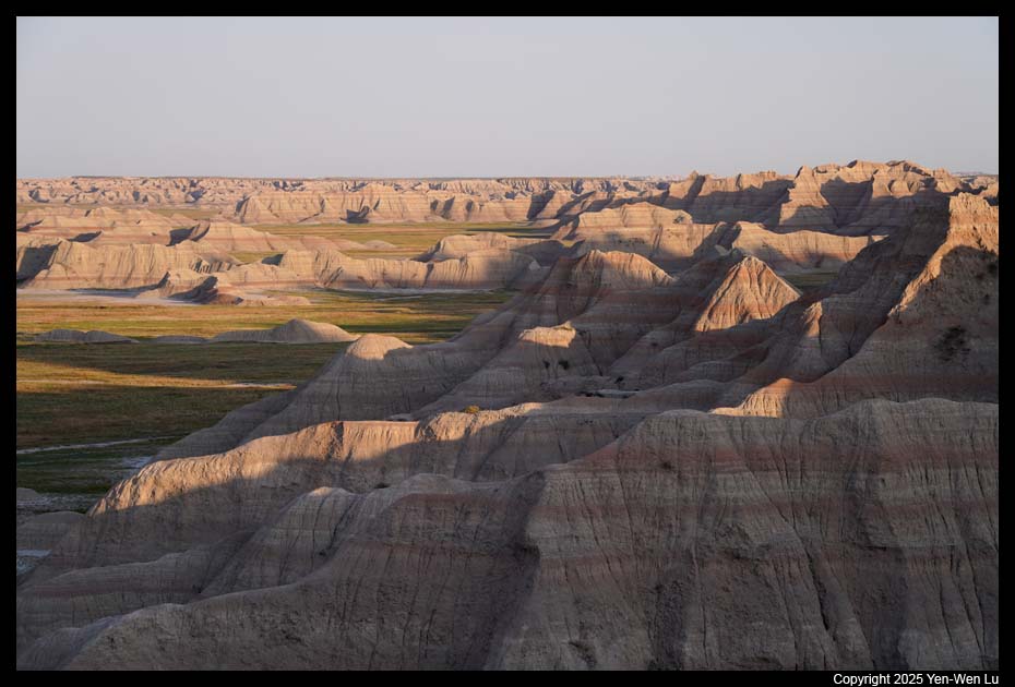
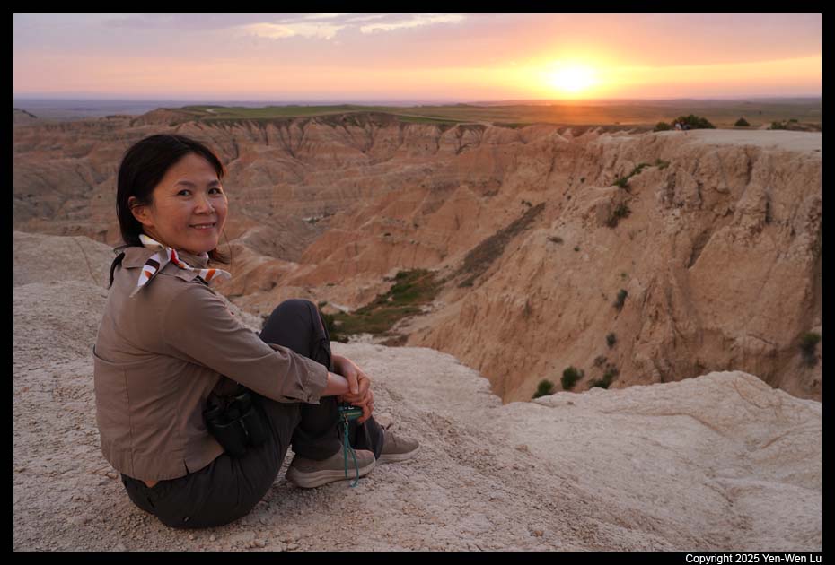
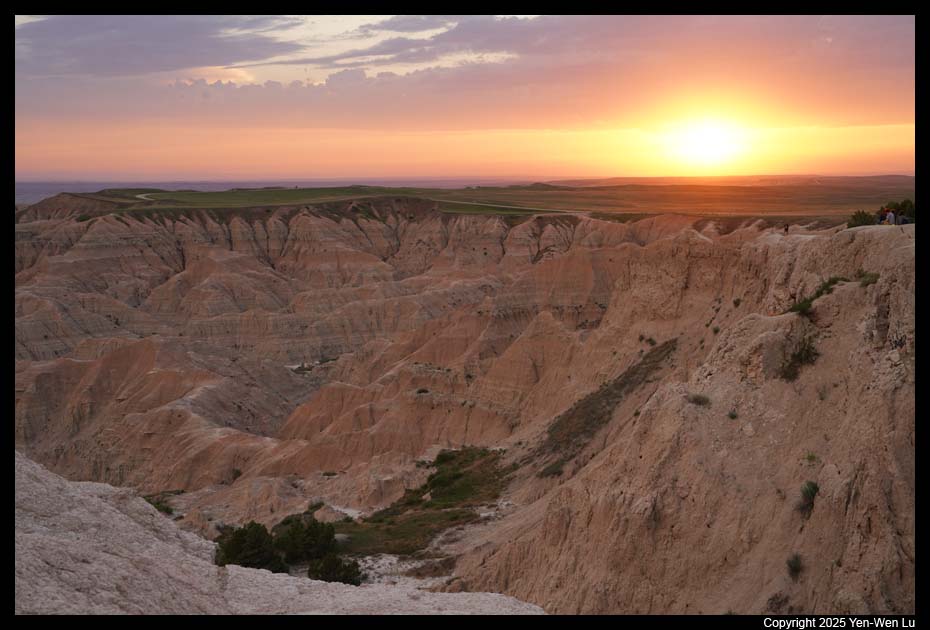
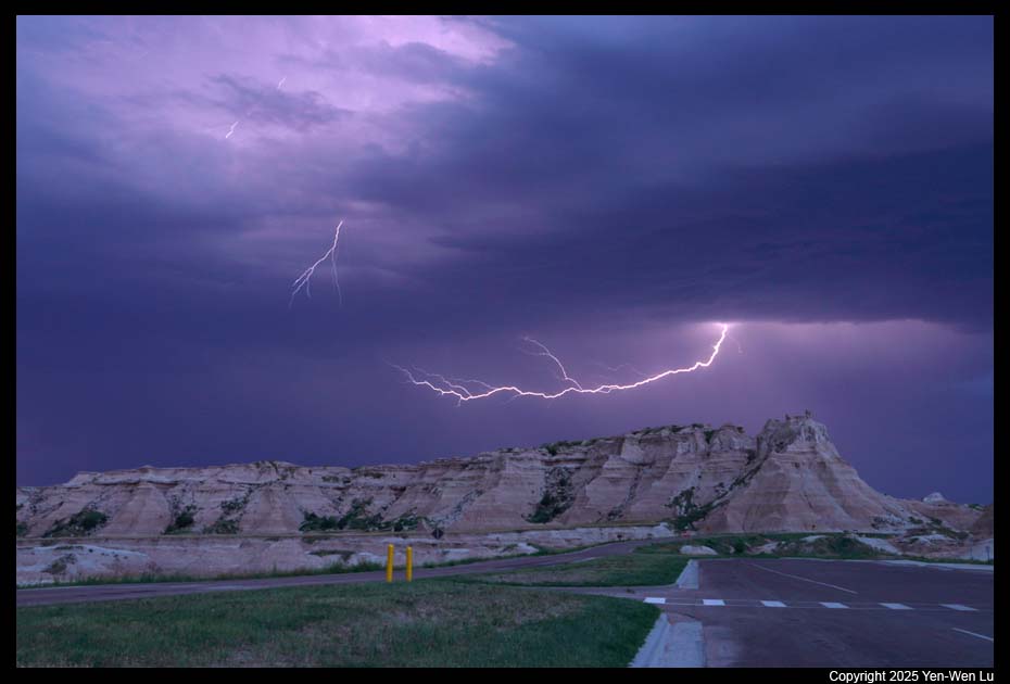
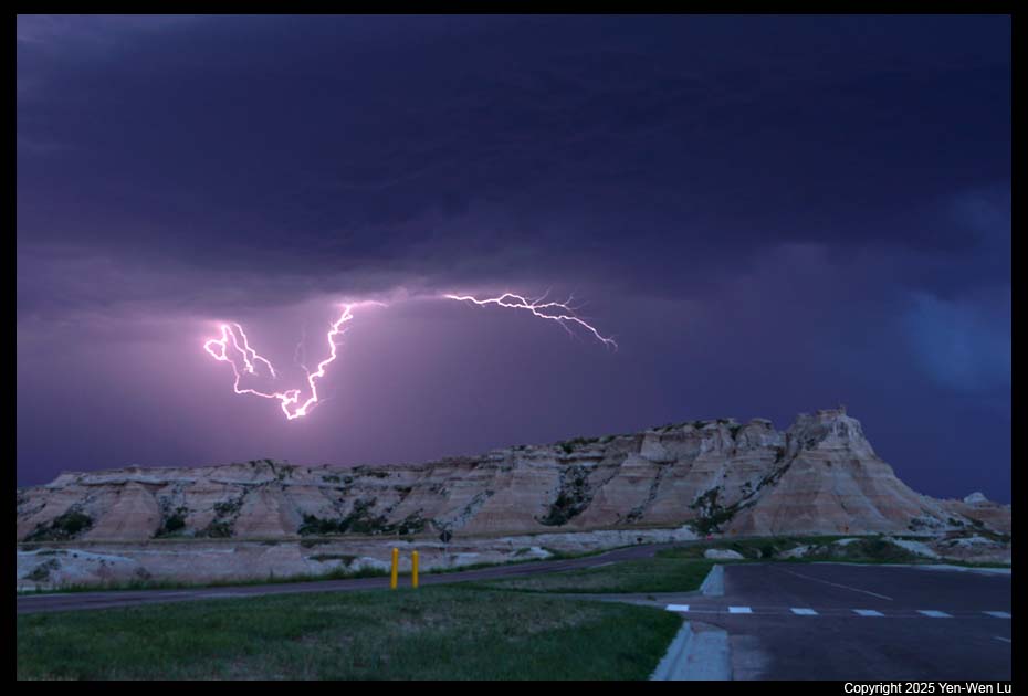
- Sunrise at Big Badlands Overlook
I went back to the Big Badlands
Overlook before dawn for the sunrise. It was cloudy and windy, and
there were lightning strikes in the cloud. I was disappointed and was
sitting in the car (too windy to stay outside). Then the sky from the
east started to have a small opening and began to turn red. I grabbed
my camera and tripod and rushed to the viewpoint, and I was more than
delighted to see one of the most dramatic sunrise I have ever experienced
(it's still very windy...).
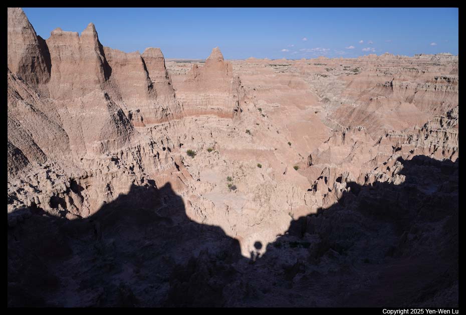
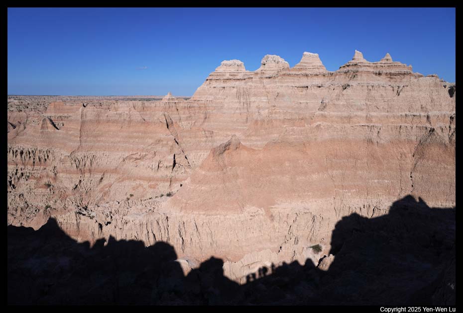
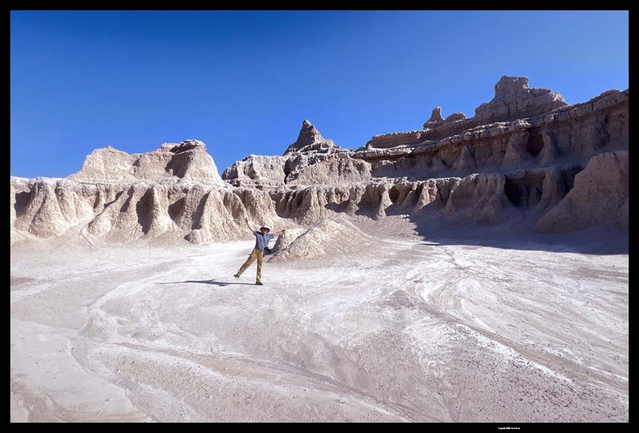
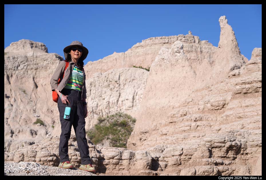
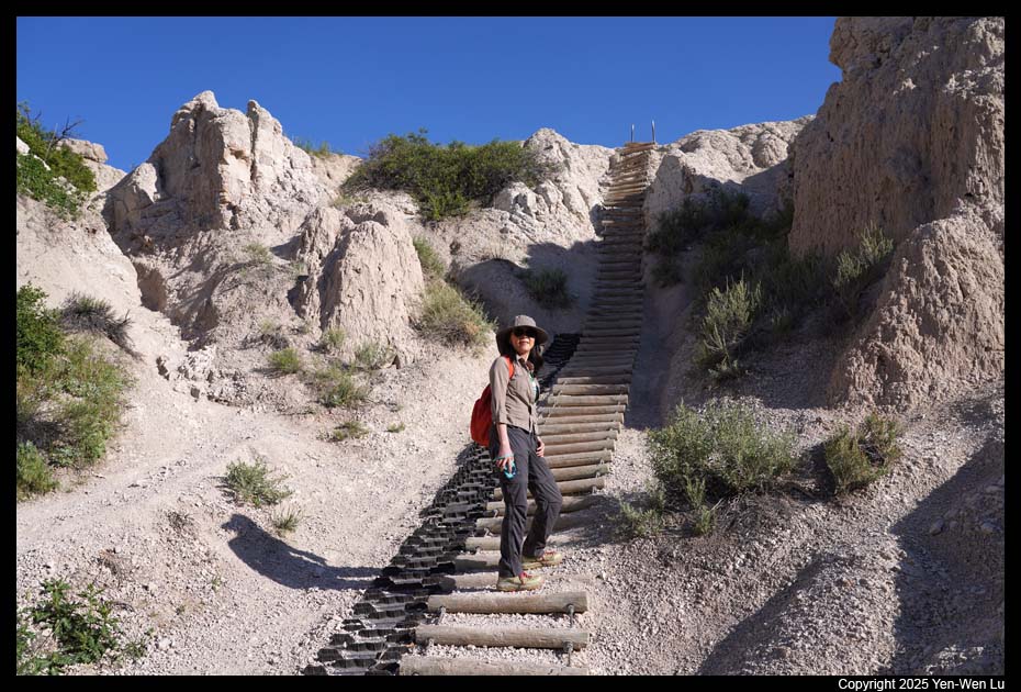
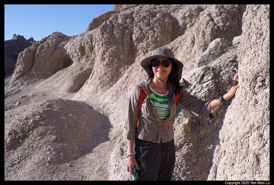
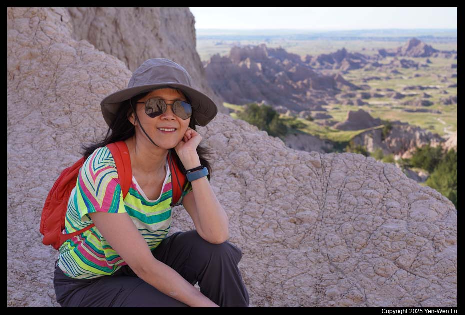
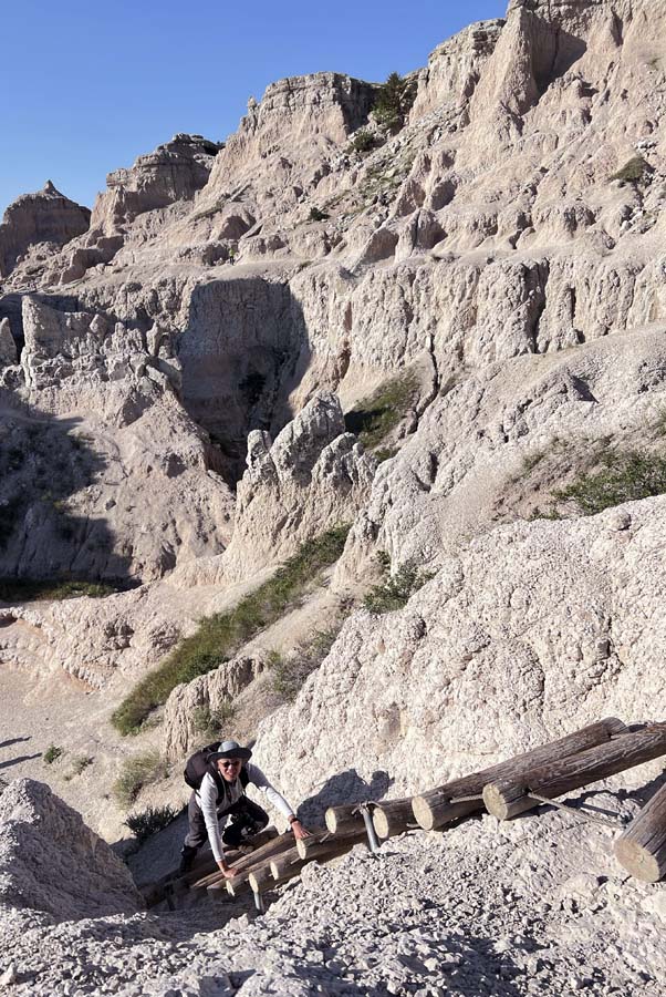
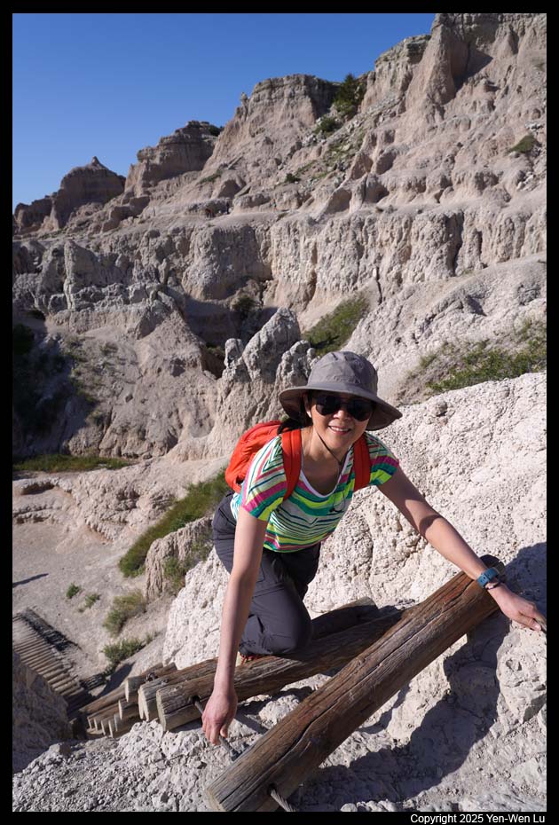
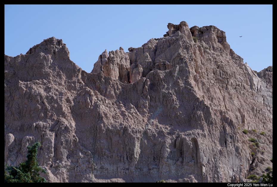
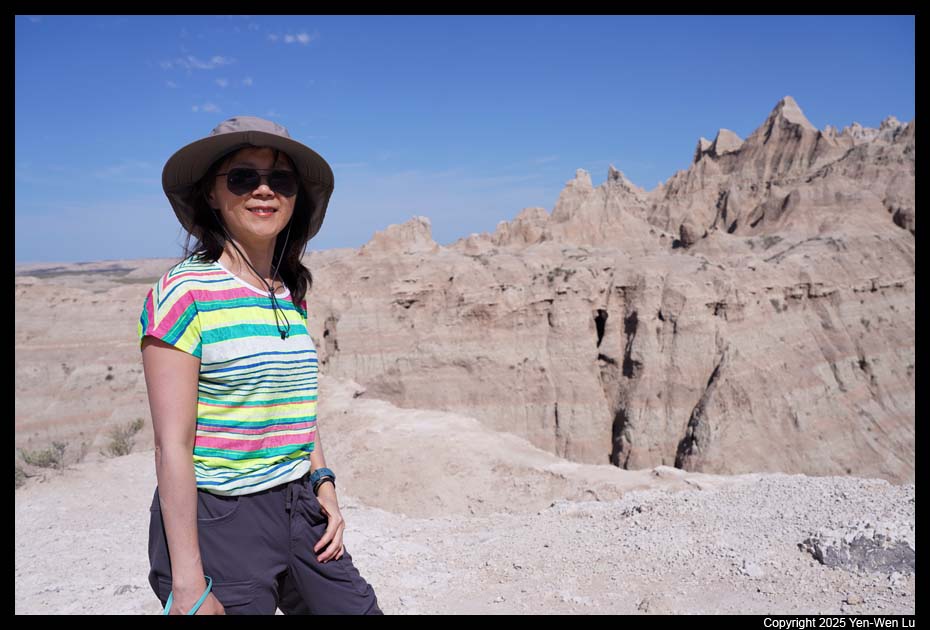
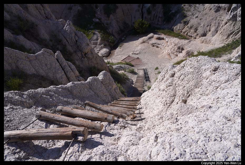
- Notch Trail
The Notch Trail is an easy 1.5-mile round-trip trail.
After meandering through a canyon, this trail climbs a
log ladder and follows a ledge to "the
Notch" for a dramatic view of the White River Valley.
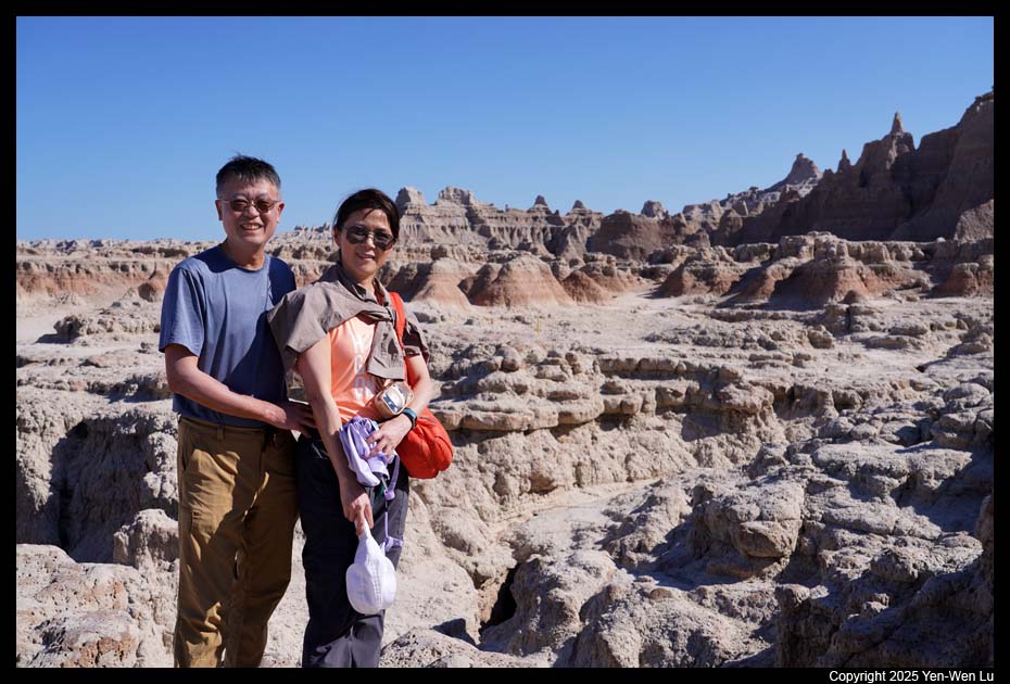
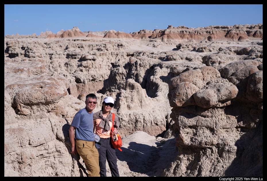
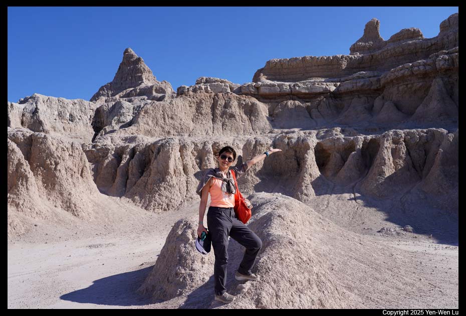
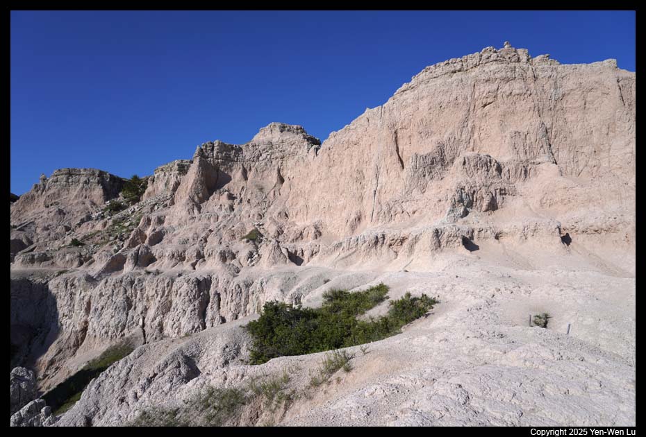
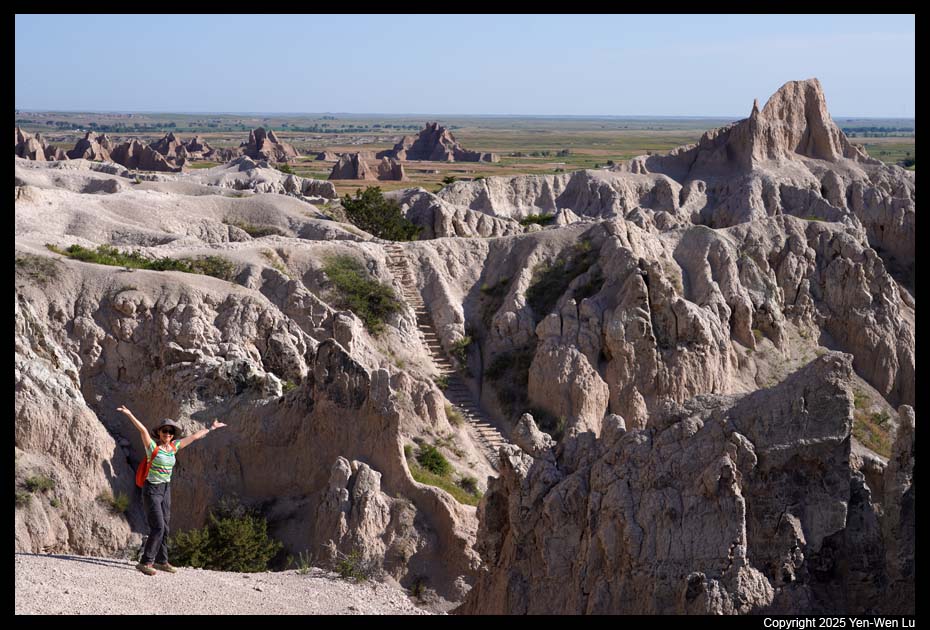
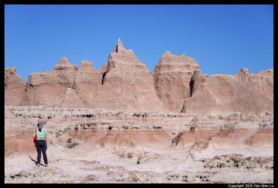
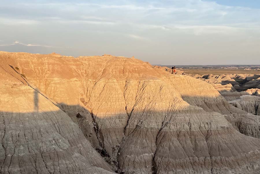
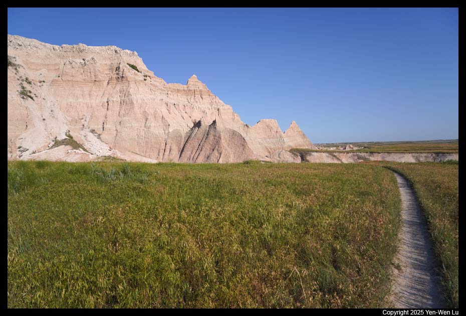
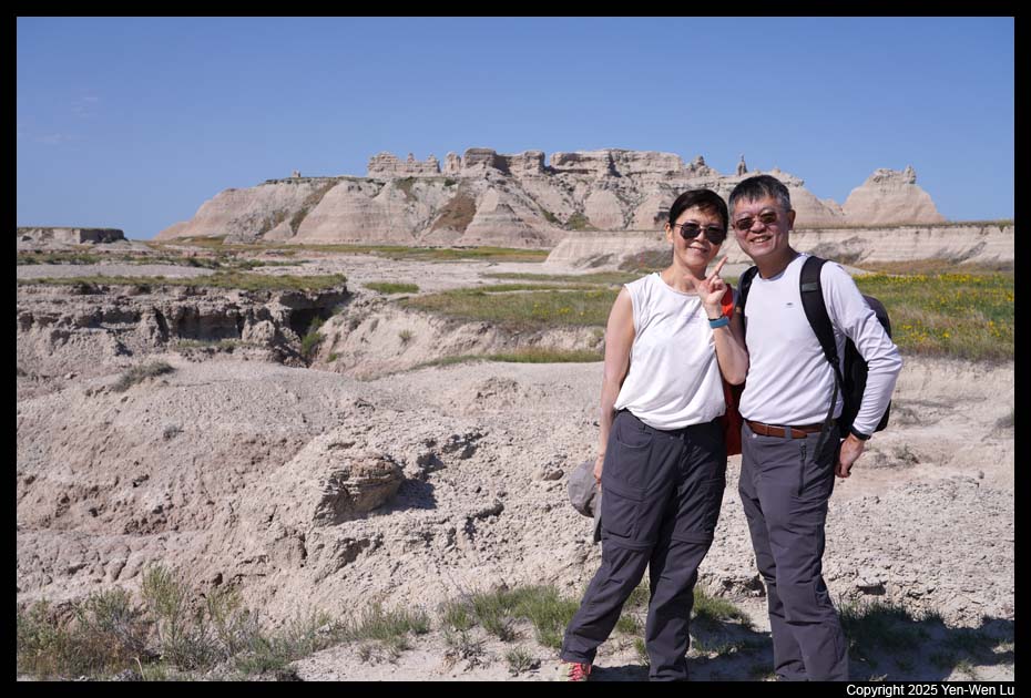
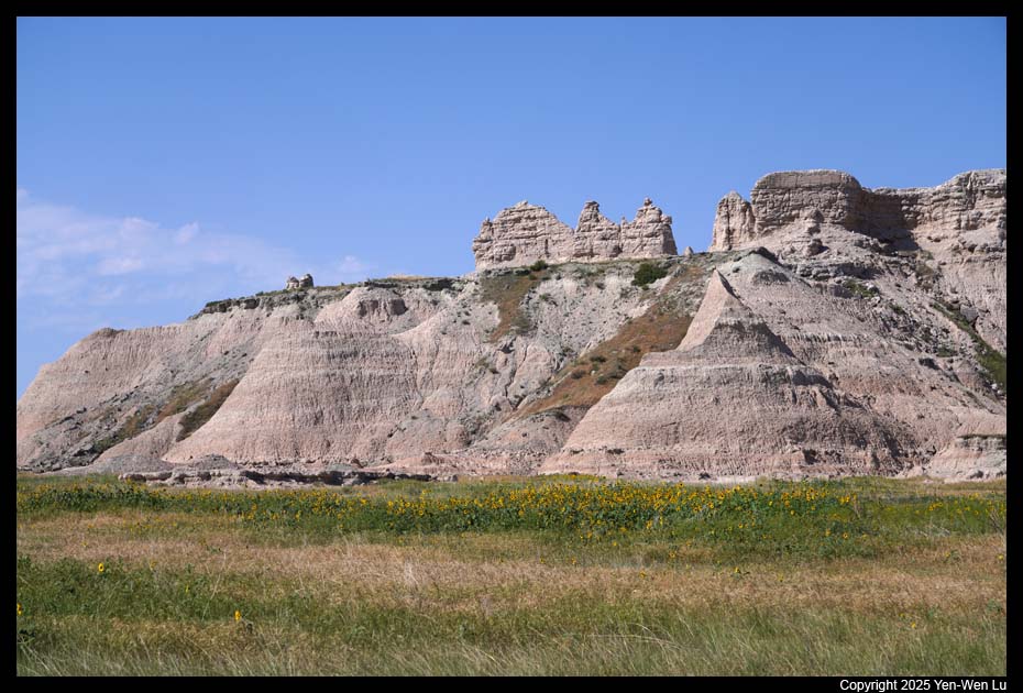
- Door Trail
The Door Trail is 0.75 miles long (round-trip) flat trail.
An accessible ¼ mile boardwalk leads through a break in the Badlands Wall
known as "the Door" and to a view of the Badlands. After the
boardwalk, we continued to hike following clear trail markers into the
Badlands, on a rough, uneven terrain. The national park posts this part of
the trail as strenuous but I think most people will find it to be easy and
fun.
- Cliff Shelf
This 0.5-mile loop trail follows boardwalks and climbs
stairs through a juniper forest perched along the Badlands Wall with a good
view of the White River Valley
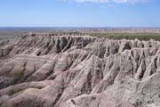
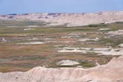
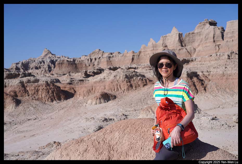
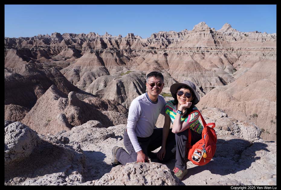
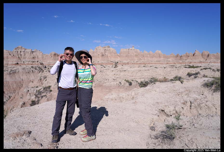
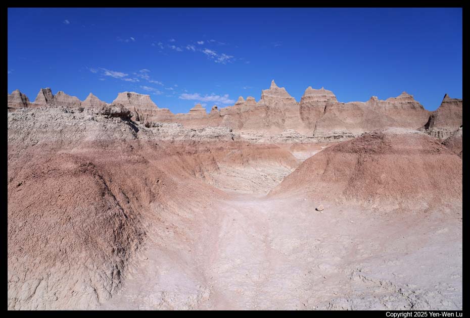
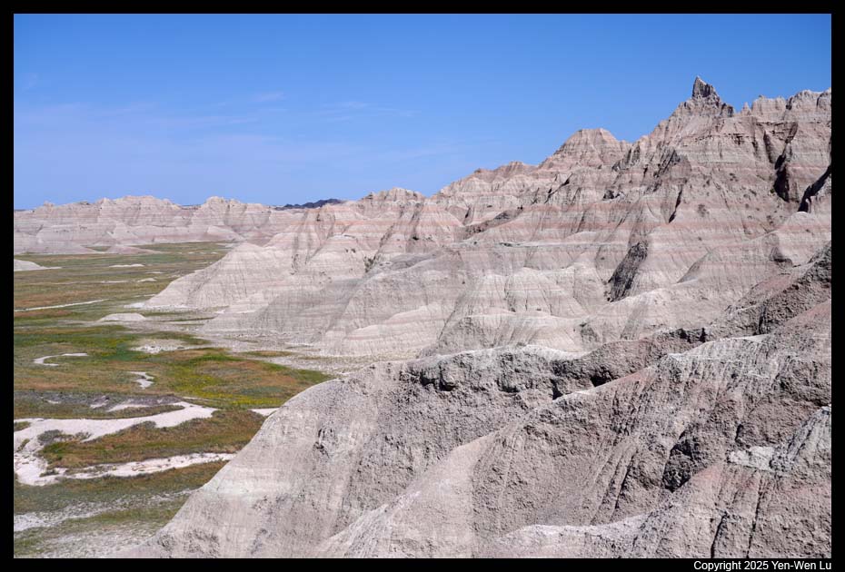
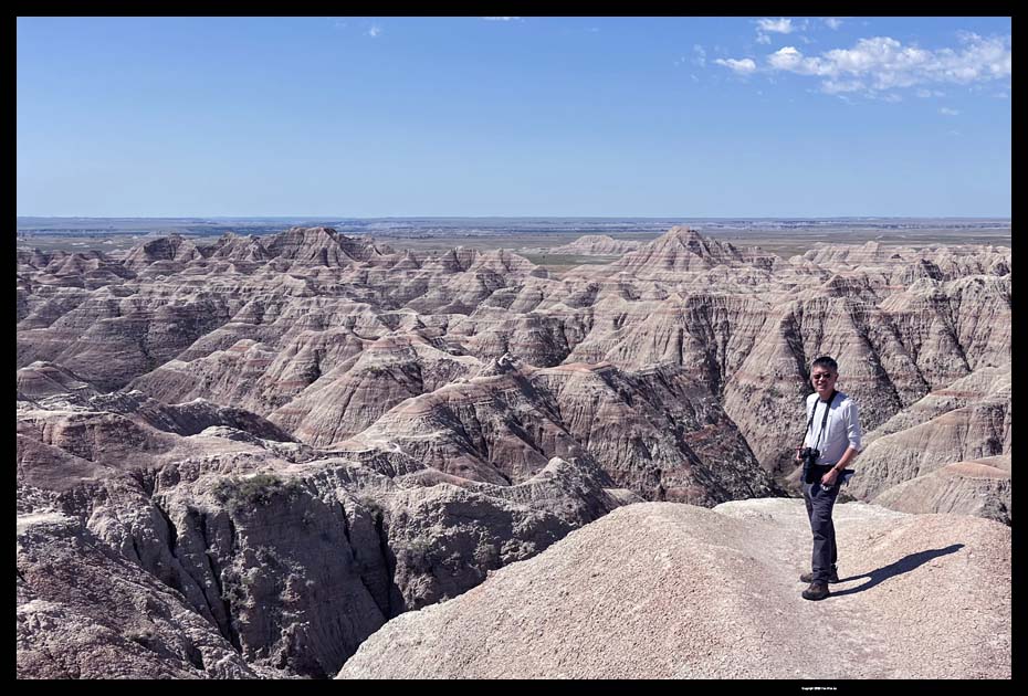
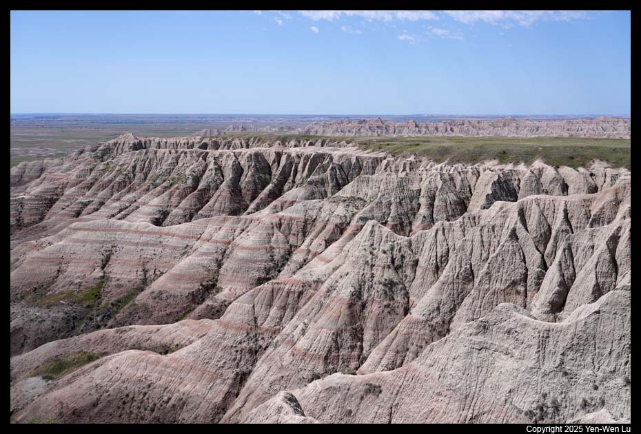
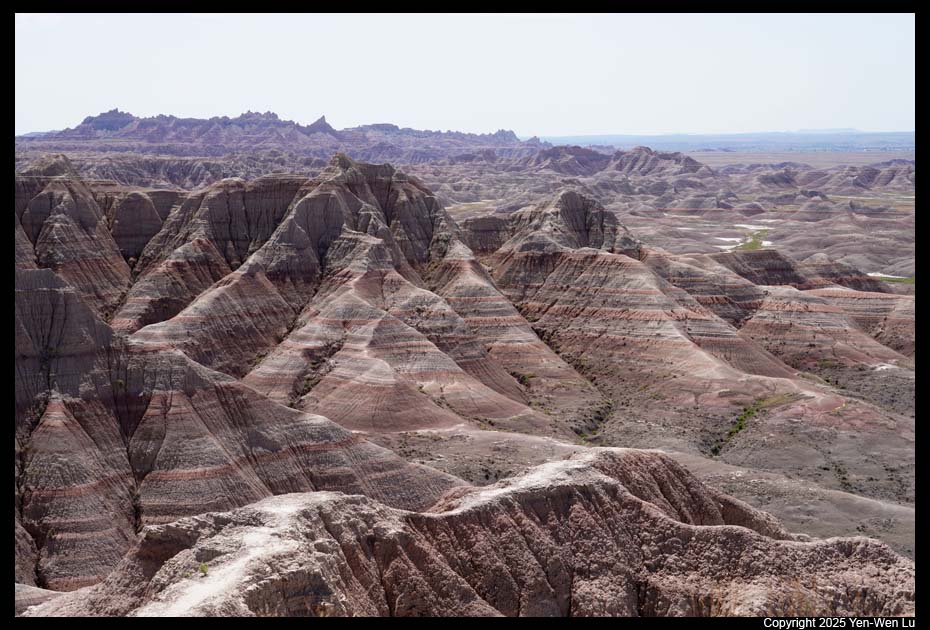
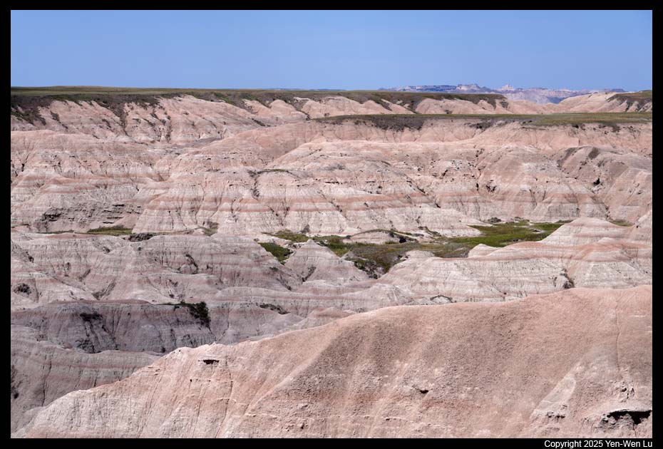
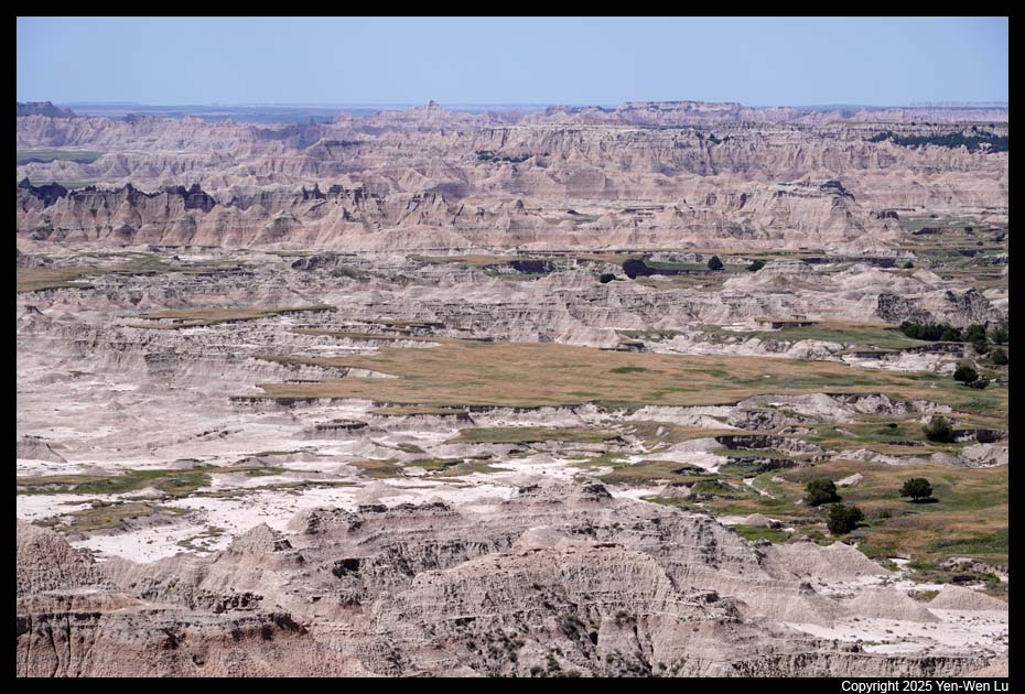
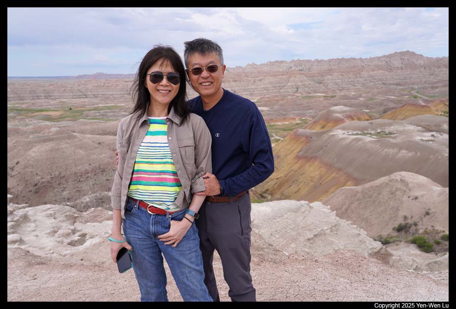
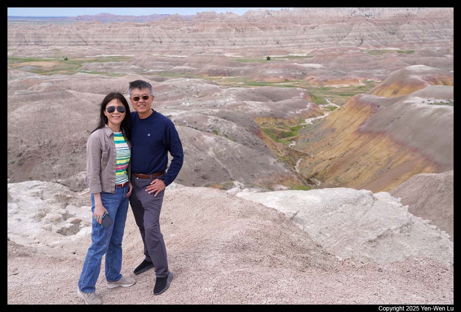
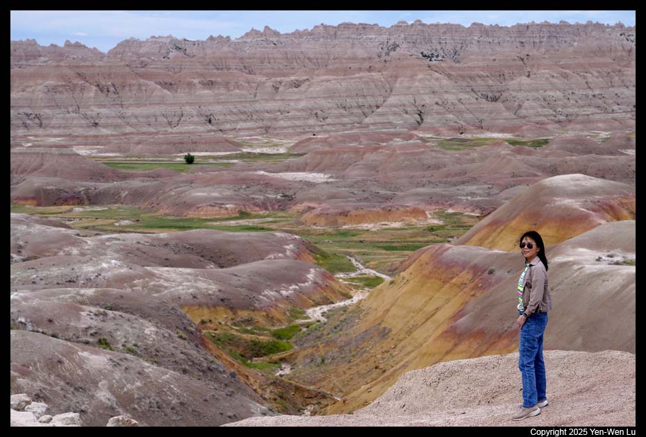
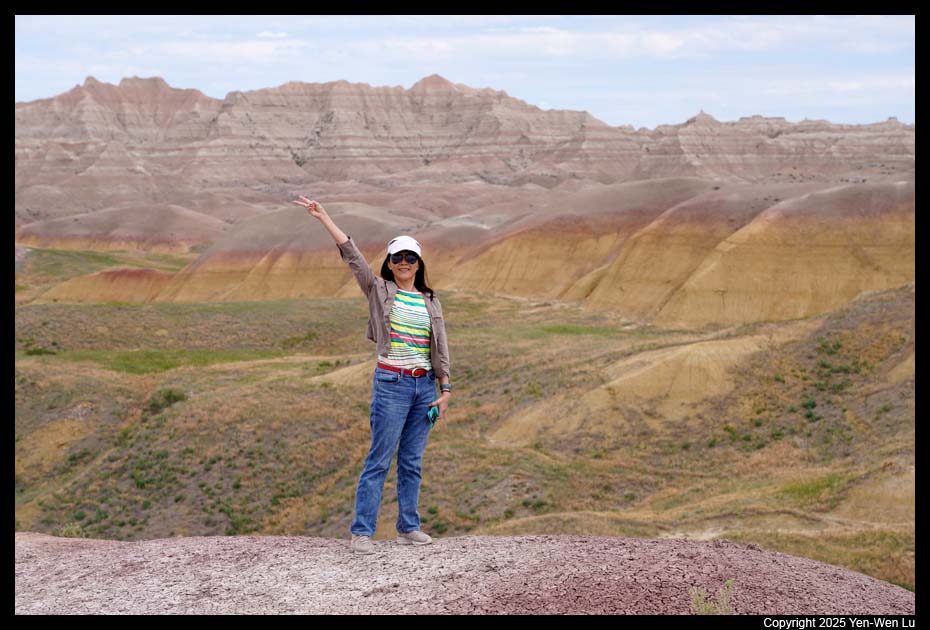
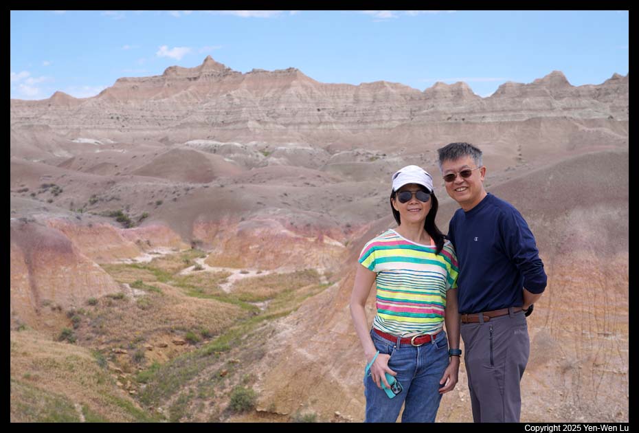
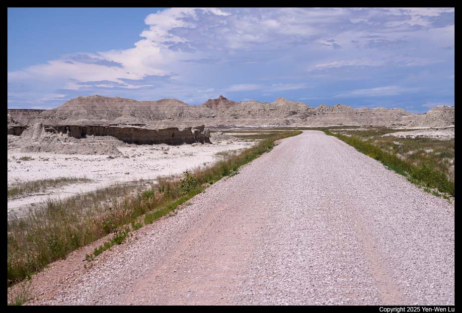
- Badlands Loop Road
After refilling our water at the visitor center,
we started to drive along the Badlands Loop Road and stopped at many
pull-outs and overlooks. Most visitors to Badlands National Park drive
the Loop Road, a 30-mile paved road that runs through the most scenic part
of the park, as the main part of their visit.
 |
 |
 |
 |
| White River Valley Overlook |
 |
 |
 |
 |
| Big Foot Pass Overlook |
Panorama Point |
 |
 |
 |
| Homestead Overlook |
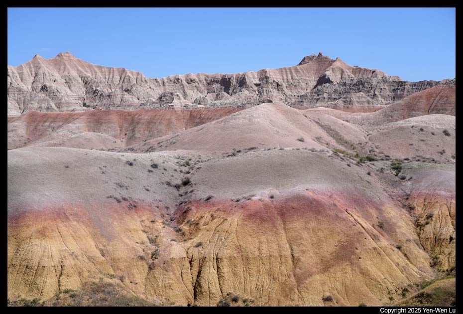
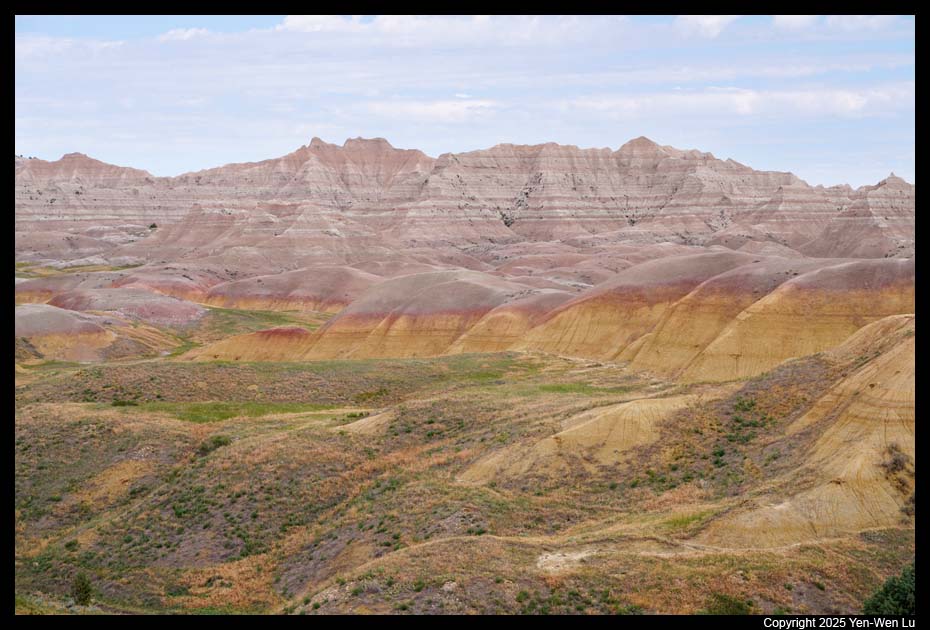
Yellow Mounds |
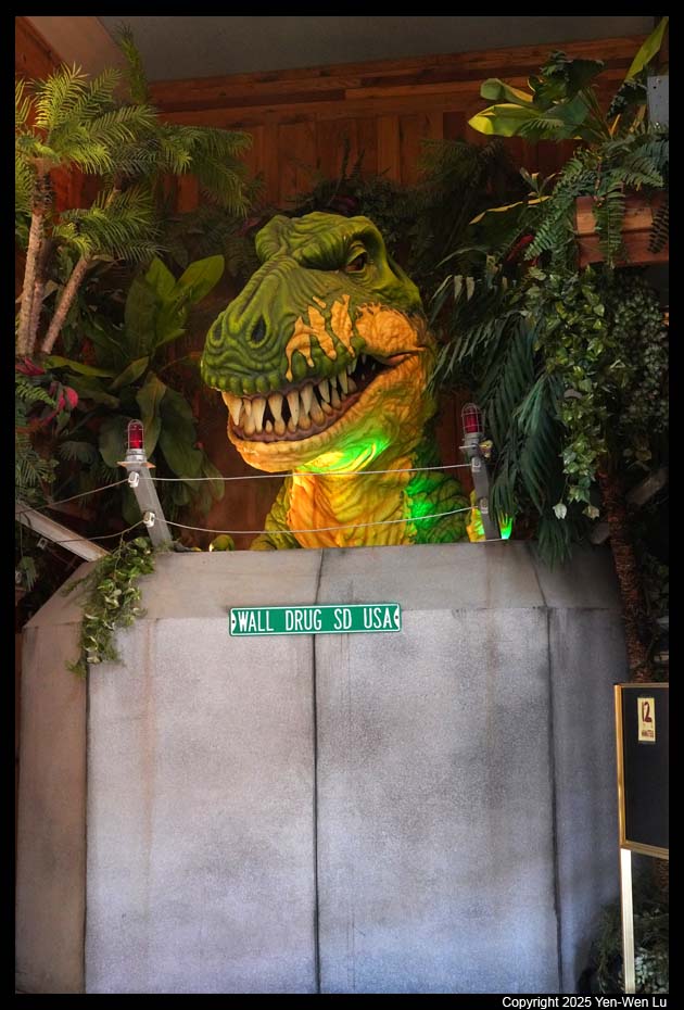
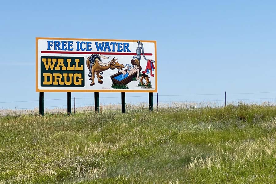
- Wall
Wall was established in the summer of 1907 as a railroad station
and formally incorporated as the city of Wall in 1908. Wall was named
for the "natural wall" in rock formations by the Badlands National Park.
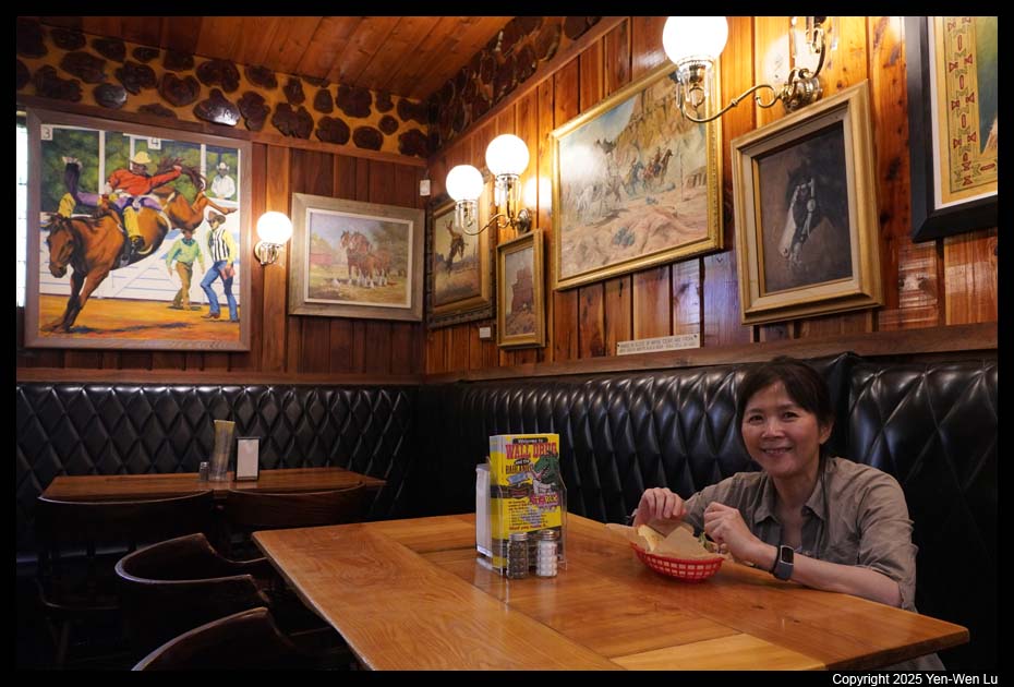
The town is most famous for the Wall Drug Store, which opened as a small
pharmacy in 1931 during the Depression, but eventually developed into a
large roadside tourist attraction. On the way to the city of
Wall, there were many road signs
of Wall Drug Store (like every a few hundred yards). The city of
Wall is home to 800 year-round residents and, thanks to Wall Drug, drawing
in more than 2 million visitors each year (while Badlands National Park only
has about 1 million visitors annually).
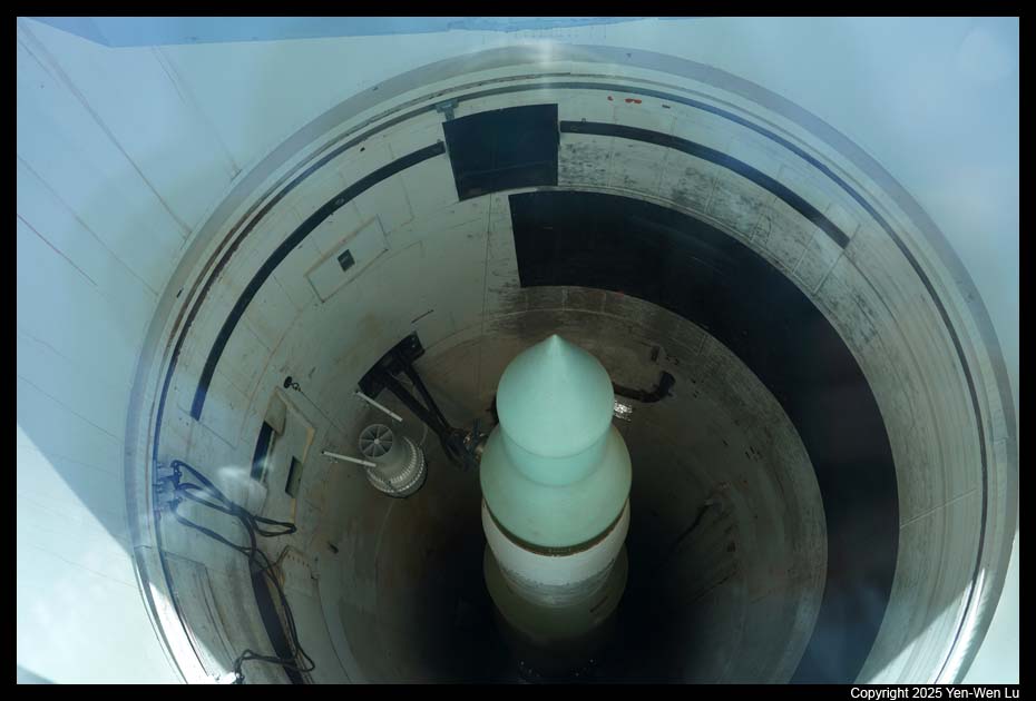
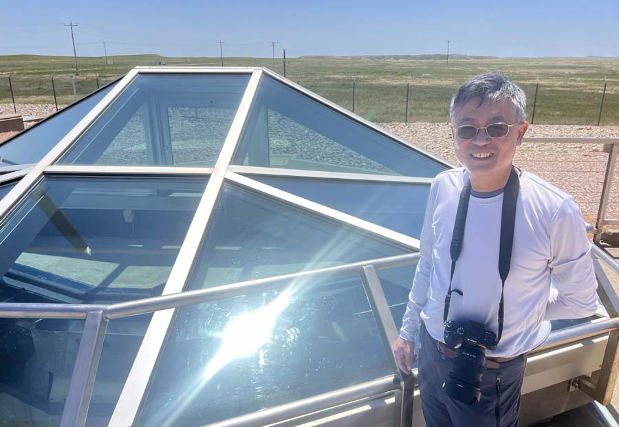
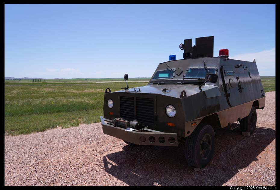
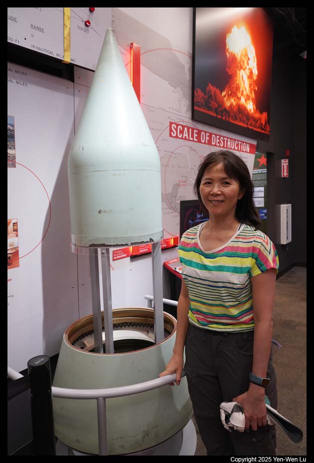
- Minuteman Missile National Historic Site
Minuteman is an American
land-based intercontinental ballistic missile (ICBM) with a solid-fuel
rocket and nuclear warhead. During the Cold War, a vast arsenal of
nuclear missiles were placed in the Great Plains. Hidden in plain sight, for
thirty years 1,000 missiles were kept on constant alert; hundreds remain
today. The Minuteman Missile remains an iconic weapon in the American
nuclear arsenal. It holds the power to destroy civilization, but is meant as
a nuclear deterrent to maintain peace and prevent war. We visited the
missile silo at Delta-09 and the visitor center (we did not get the tickets
for the underground Launch Control Center at Delta-1, but here is the
video from NPS).
It was getting hot in the mid-day today (~97F, but
feel like more than 110F). We returned to our cabin in Cedar Pass to
have a cool relaxed afternoon in our room.
- Sunset
After the dinner at the lodge restaurant, we went to
the Badlands Loop Road for the golden hour during sunset.
Day 9 (6/28) ...
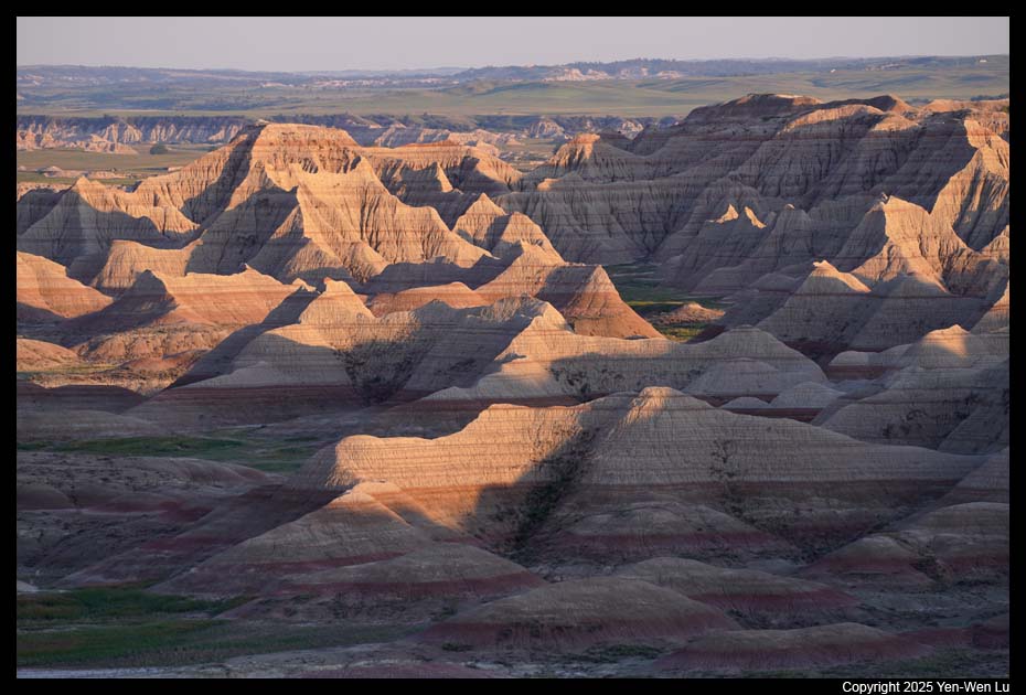
- Sunrise at Panorama Point
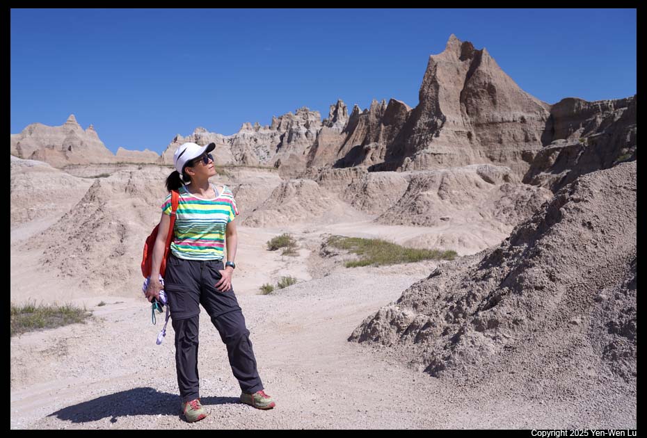
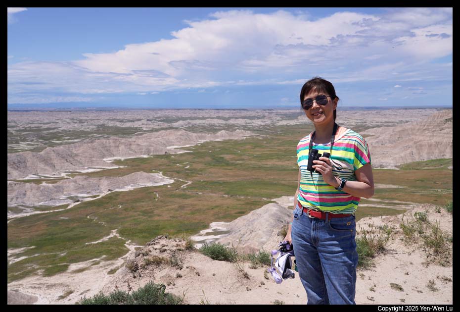
- Castle Trail & Medicine Root Trail Loop
We took the Castle trail from
the Door/Window parking area, connected to Medicine Root trail, and returned
via Castle trail again at Saddle Pass, with a total of ~6.7 miles. The
Castle and Medicine Root Trail take hikers into the “backcountry.” You’ll hike
through fields of prairie grass with plenty of wildflowers, around pinnacles
of stone and rock formations. However, the entire hike was very exposed
without any shade. Although we started early (at about 7AM) and finished
before 10:30AM, it was already getting too hot to stay outdoors for too long
(it was about 90F when we were back).
We went to the nearby small town of Interior to have a
quick lunch. Since there were many motorcyclists in the restaurant we
planned to go, we decided to move to a different place (a food truck called
Katie's Kantina) to have some delicious Mexican food. After lunch, it's
time to go back our room to cool down a little for the afternoon.
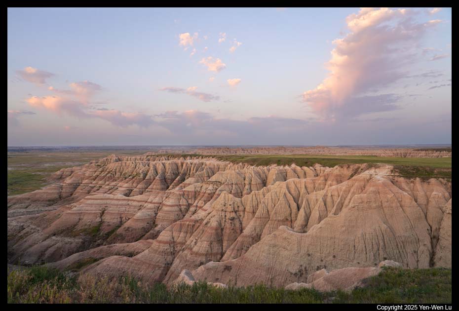
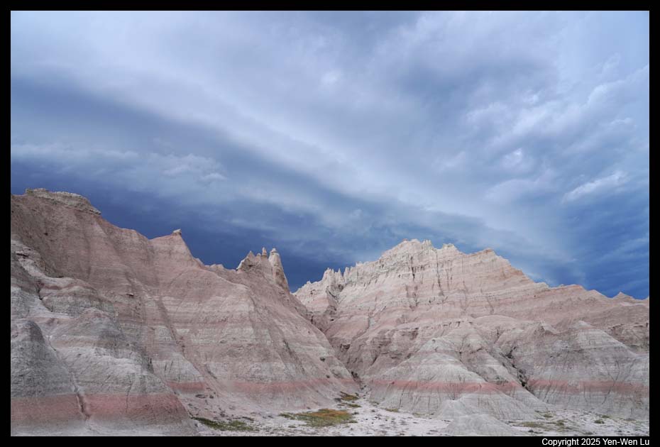
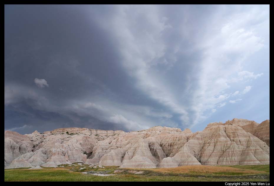
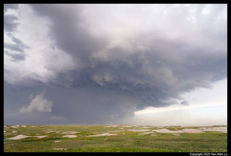
- Cloudscape
We went out in the late afternoon at about 6PM. The
thunderstorm was forming and the sky was a dramatic background for the
badlands landscape.
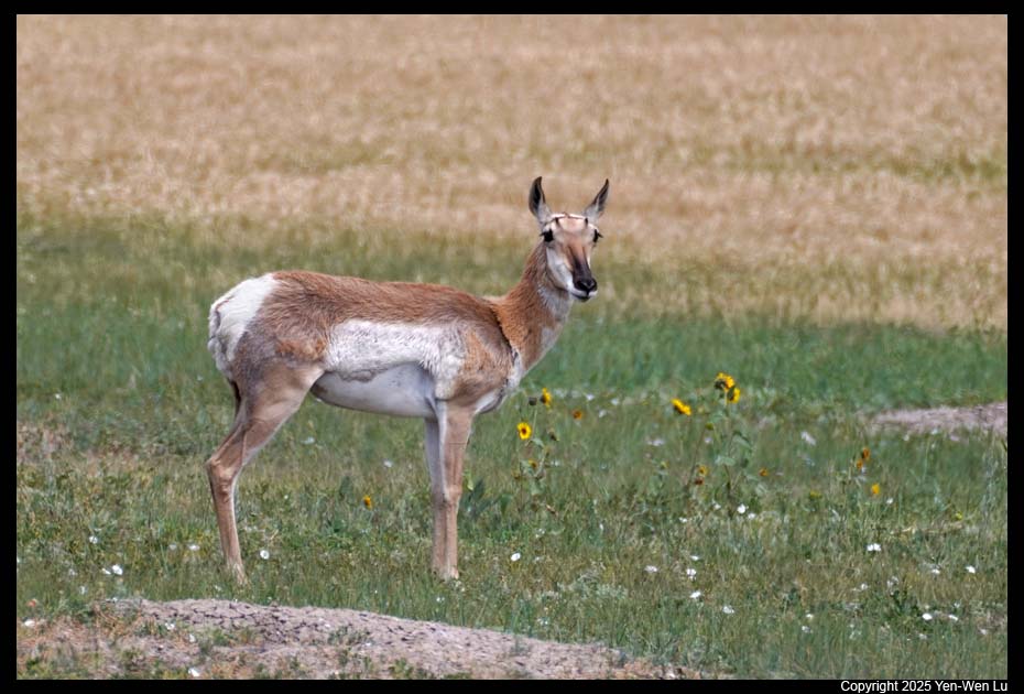
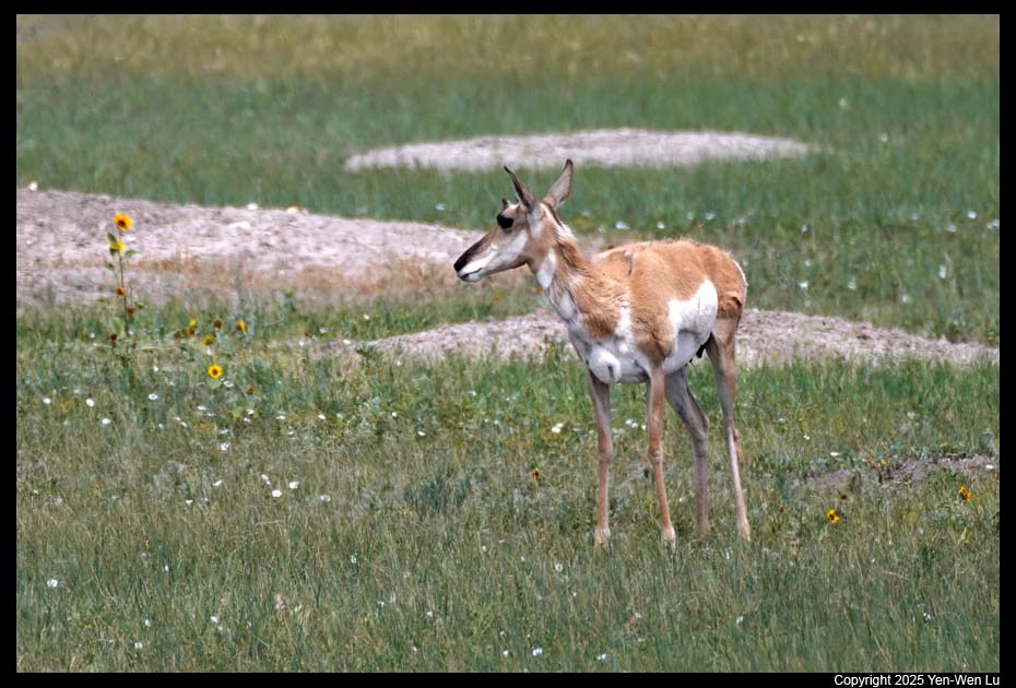
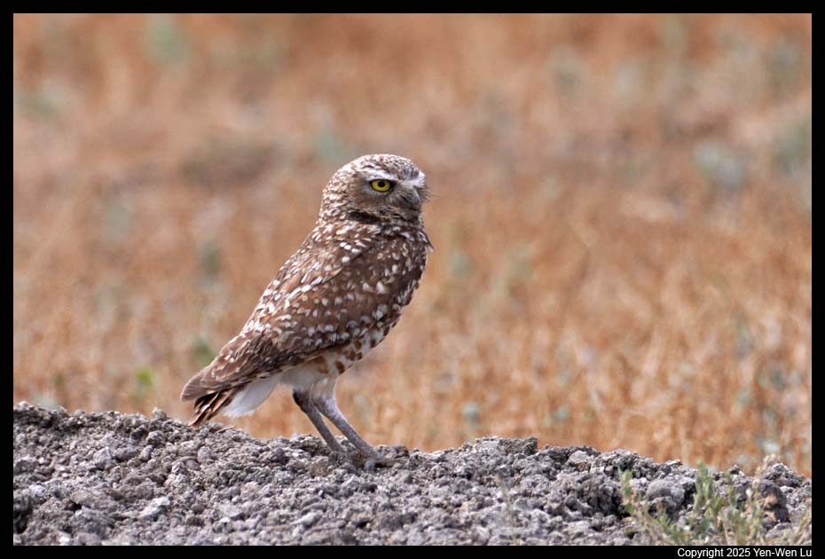
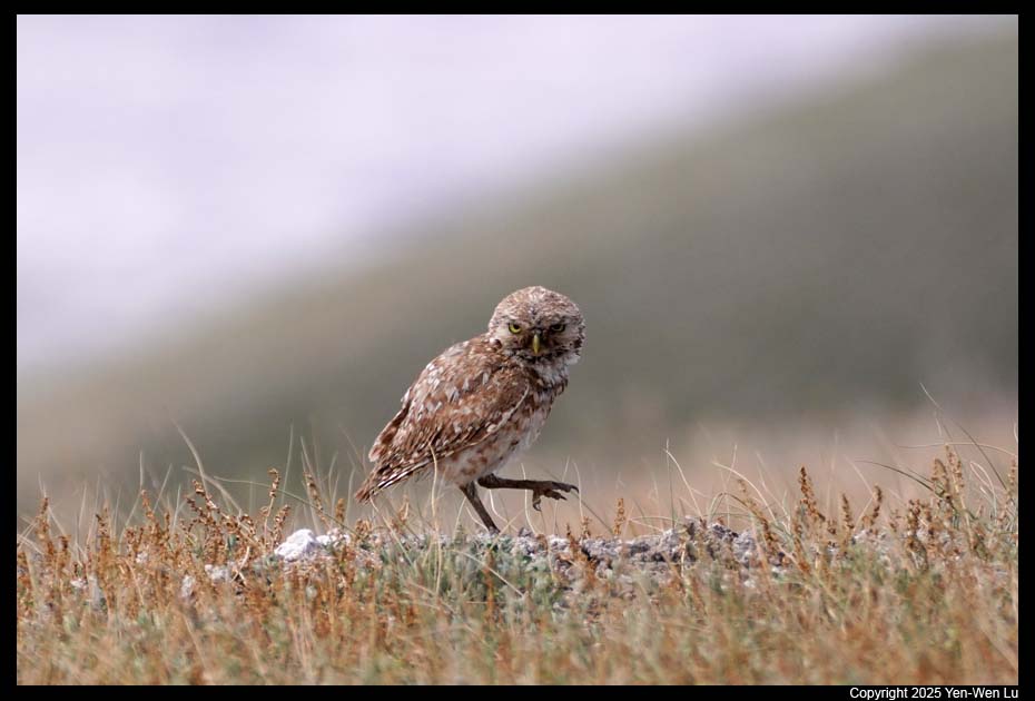
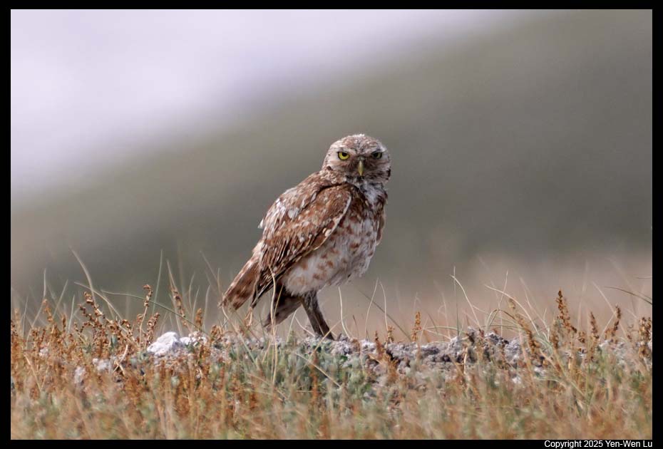
- Sage Creel Rim Road
Sage Creek Rim Road (SD 590) is a dirt/gravel
road that travels through the Sage Creek Wilderness Area of Badlands
National Park. It provides access to several overlooks and the Sage Creek
Campground, as well as opportunities for backcountry access and wildlife
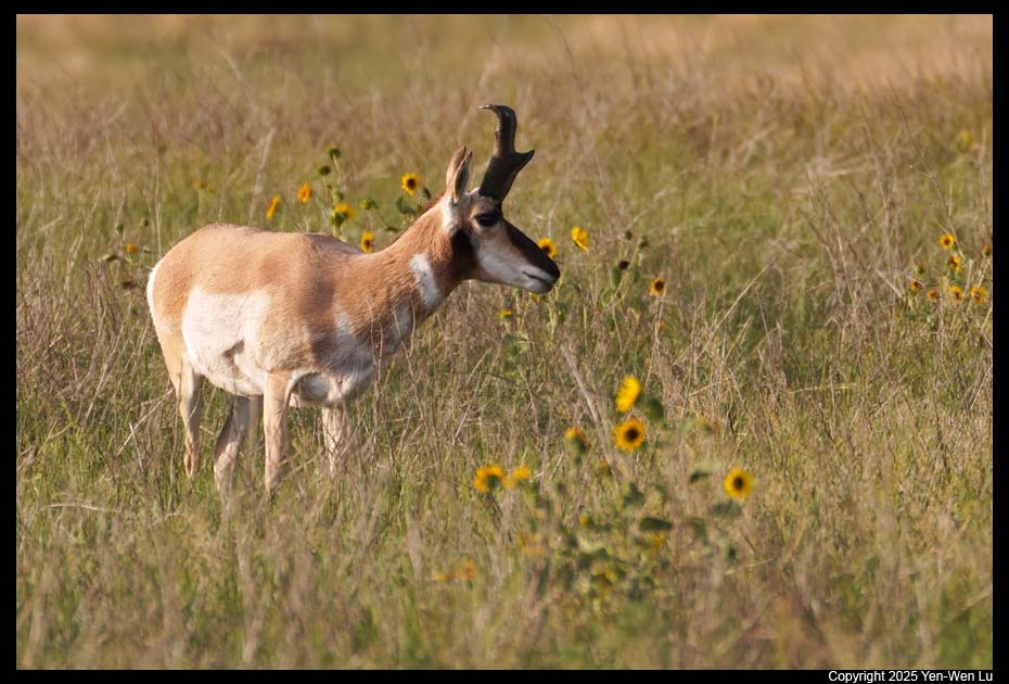
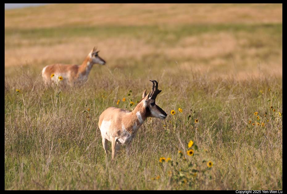
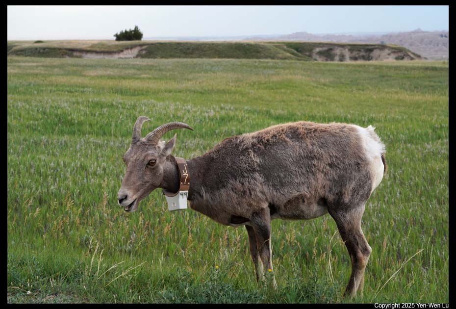
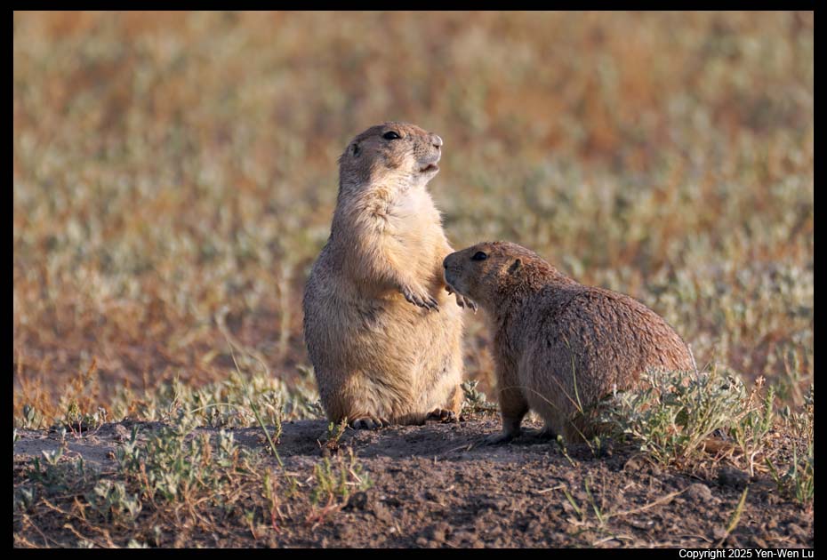
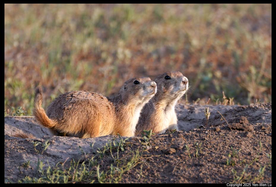
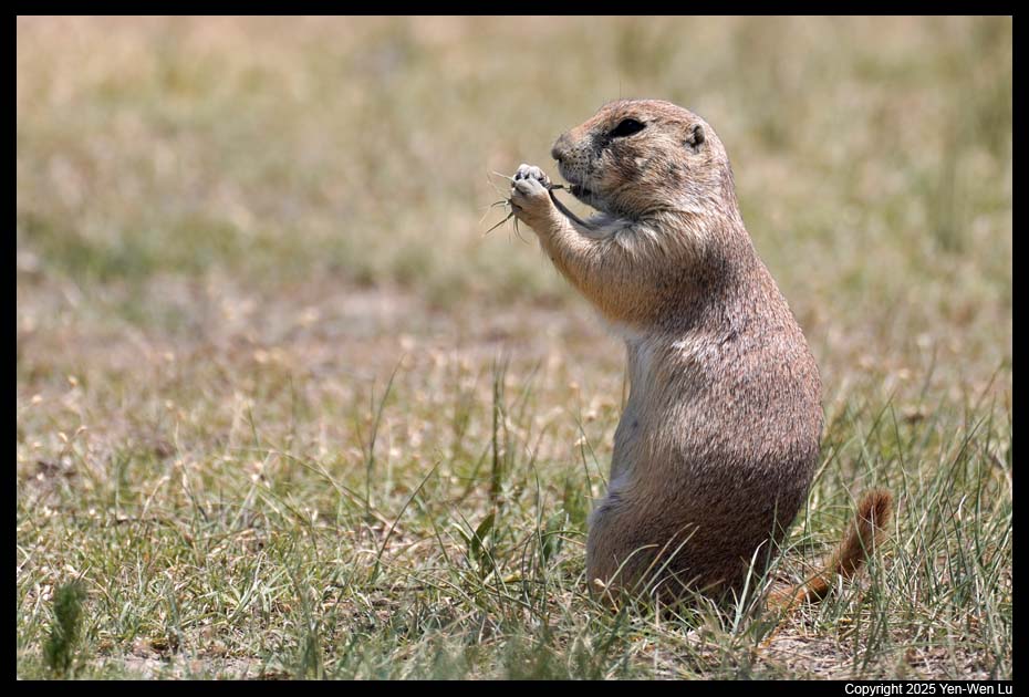
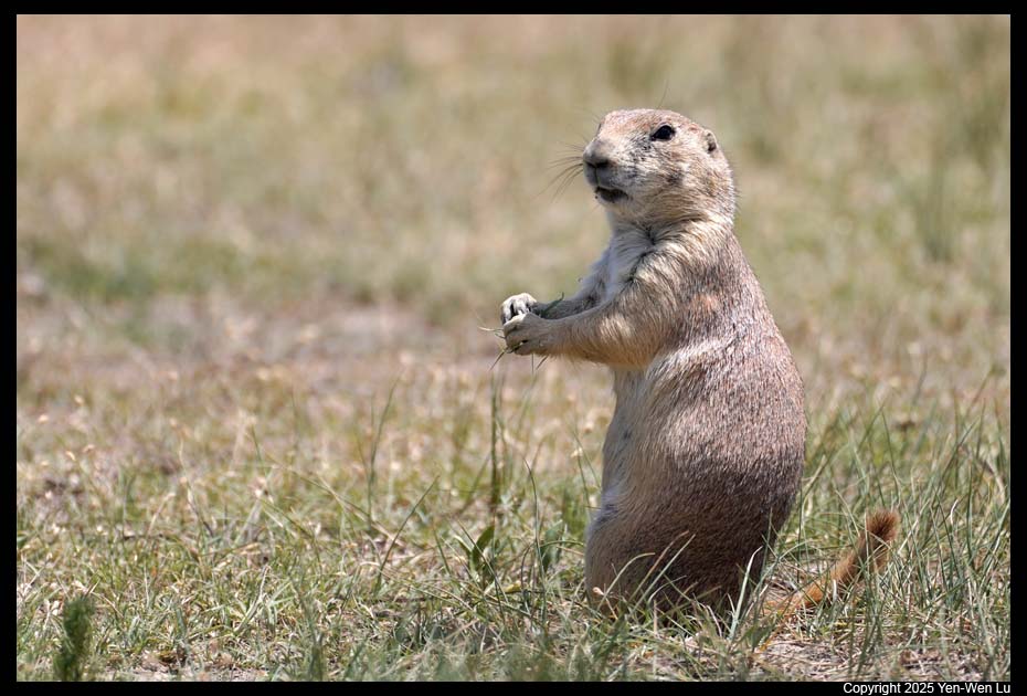
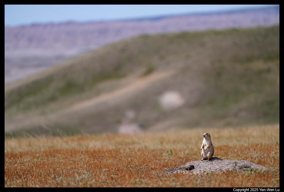
viewing. It is the less-traveled part of the park, and you can see
more of the prairie land and get up close with wildlife. The sky was
clearing up when we got to this part of the park, and the late afternoon
light was perfect for wildlife photos.
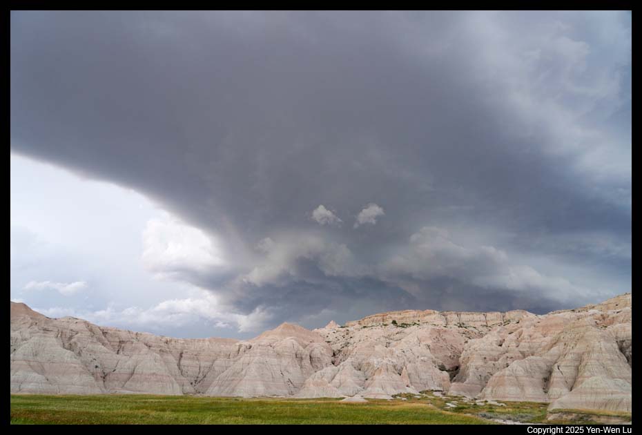
- Sunset at Pinnacles Overlook
- After sunset, thunderstorms started again and clouds were shaping like
Lord Voldemort had returned. Lightning was striking around us and was
getting more and more intense (like one lightning strike every 2-3 seconds
for the next hour). We could not resist to stop to take a few pictures
of this dramatic weather (lightning was still in the distance,
video). Ten
minutes after we were back to our cabin, the rain poured down and we were in
the middle of the storm.
Day 10 (6/29) ...
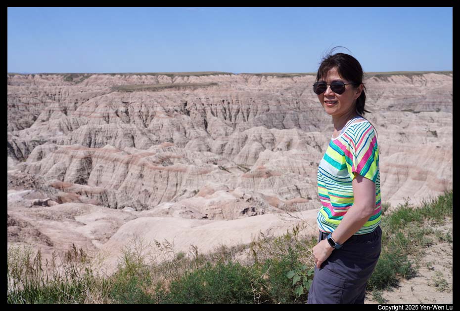
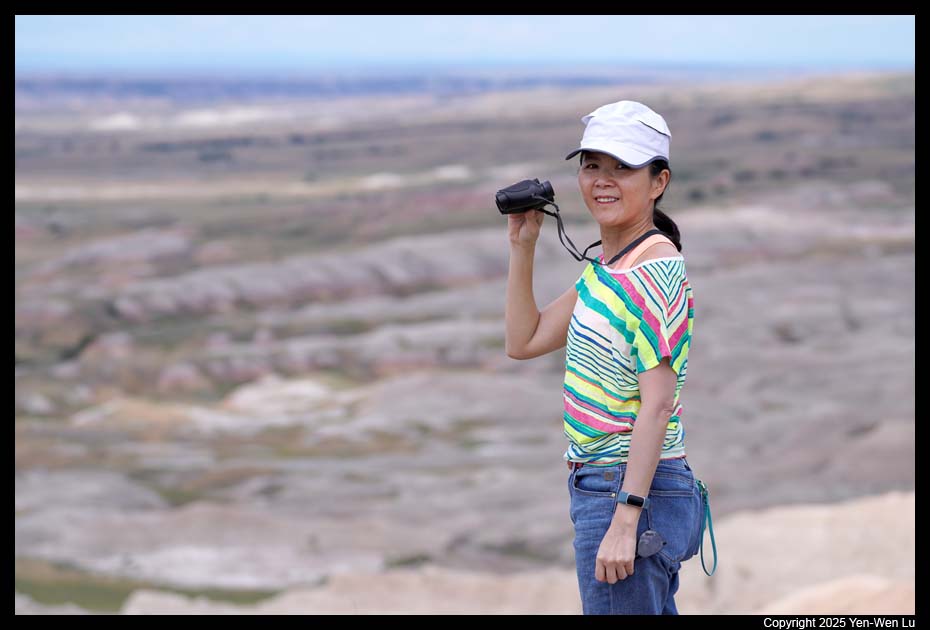
- Badlands Loop Road
We had a relaxed pace to drive through the park to
visit a few overlooks again. The weather was much cooler and more
pleasant today, and Woanyu was much more willing to get off the car to take
more pictures :-)
 |
 |
 |
 |
| White River Valley |
Panorama Point |
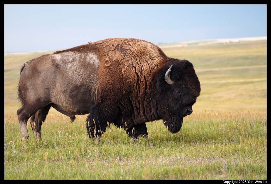
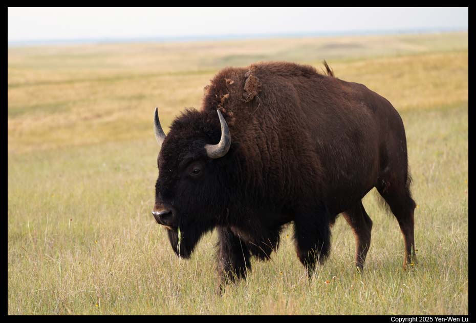
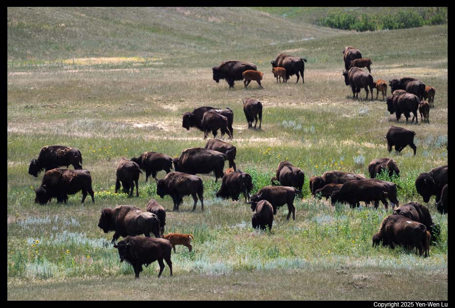
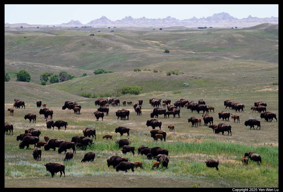
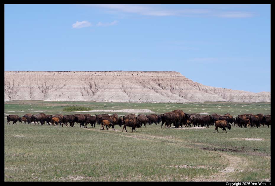
- Sage Creek Rim Road
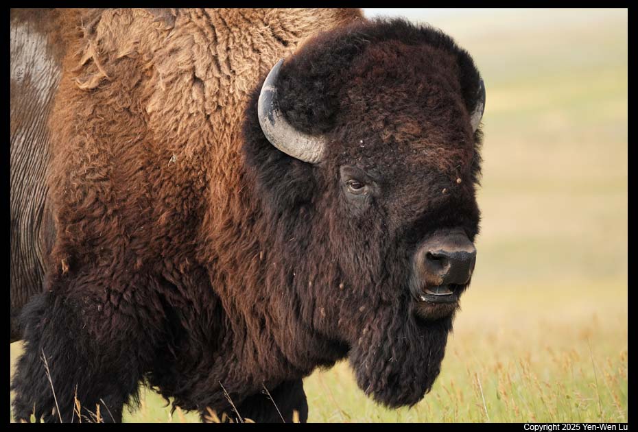
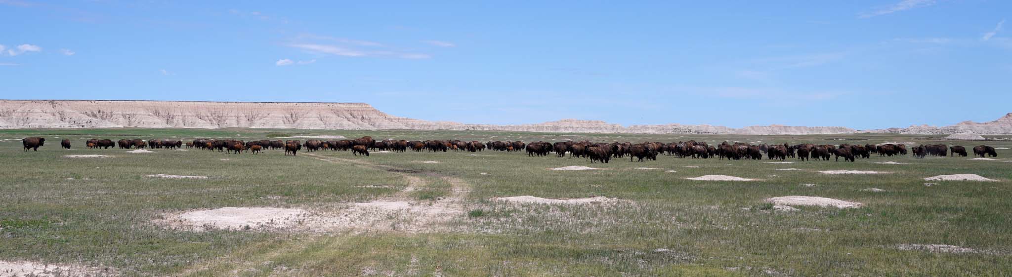
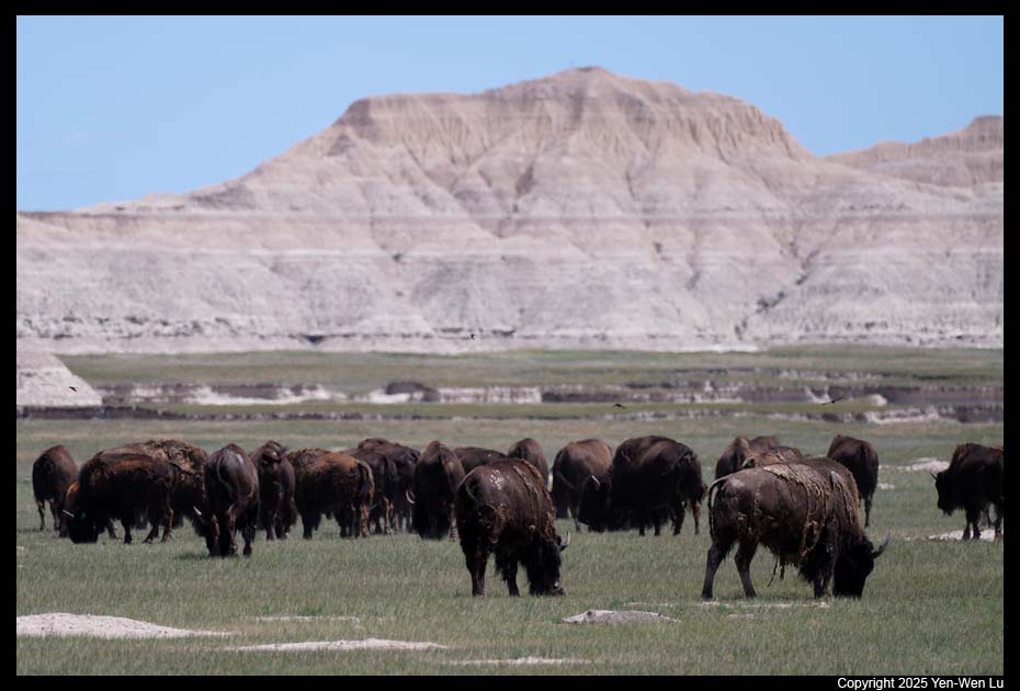
Before reaching the Sage Creek campground (where
we planned to have a picnic lunch), we saw a huge herd of bison on the
rolling hills and they were moving and running fast (video).
In fact, there were actually three different groups of bison running toward
different directions. We were observing and photographing from the
safe distance, but we felt like we were in the movie "Dances with Wolves".
- Scenic
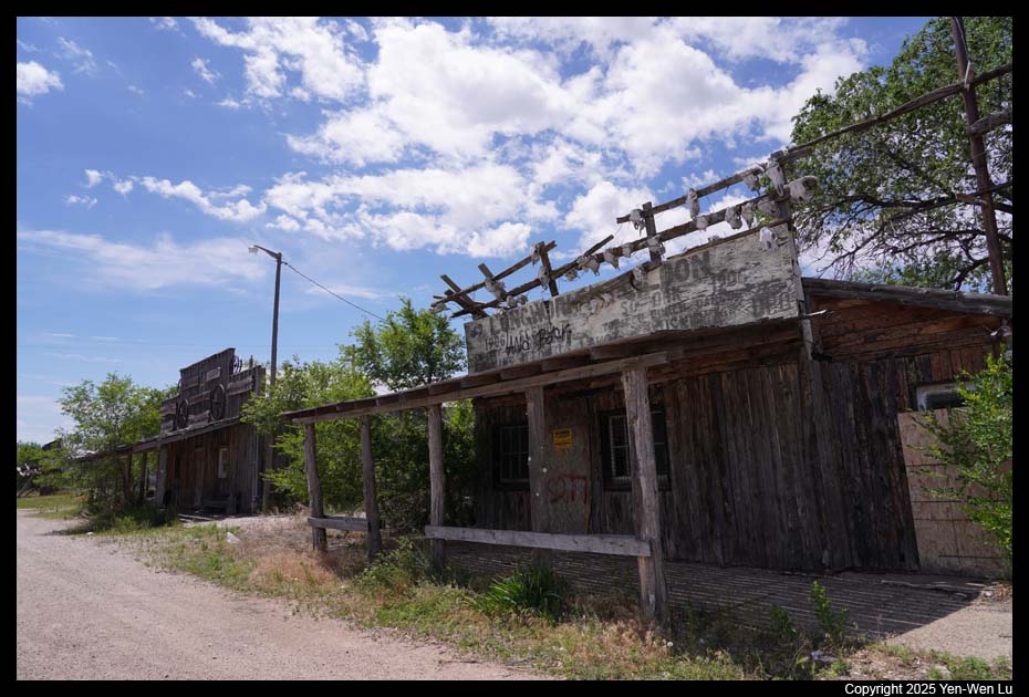
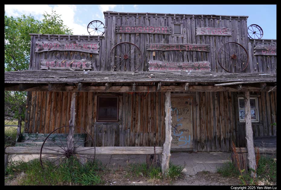
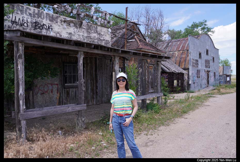
We passed by the small "ghost town", Scenic, which had a 2010
census population of 58 inhabitants.
- Sheep Mountain Table
From the town Scenic, we drove south to Sheep
Mountain Table. Sheep Mountain Table is located on the border of the
North and South Unit of Badlands National Park. Sheep Mountain Table Road is
a dirt road which continues 5 miles up to the top of the table and stops at
an overlook. The road beyond the overlook is accessible only by four-wheel
drive, high clearance vehicles.
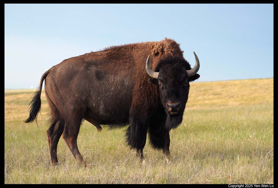
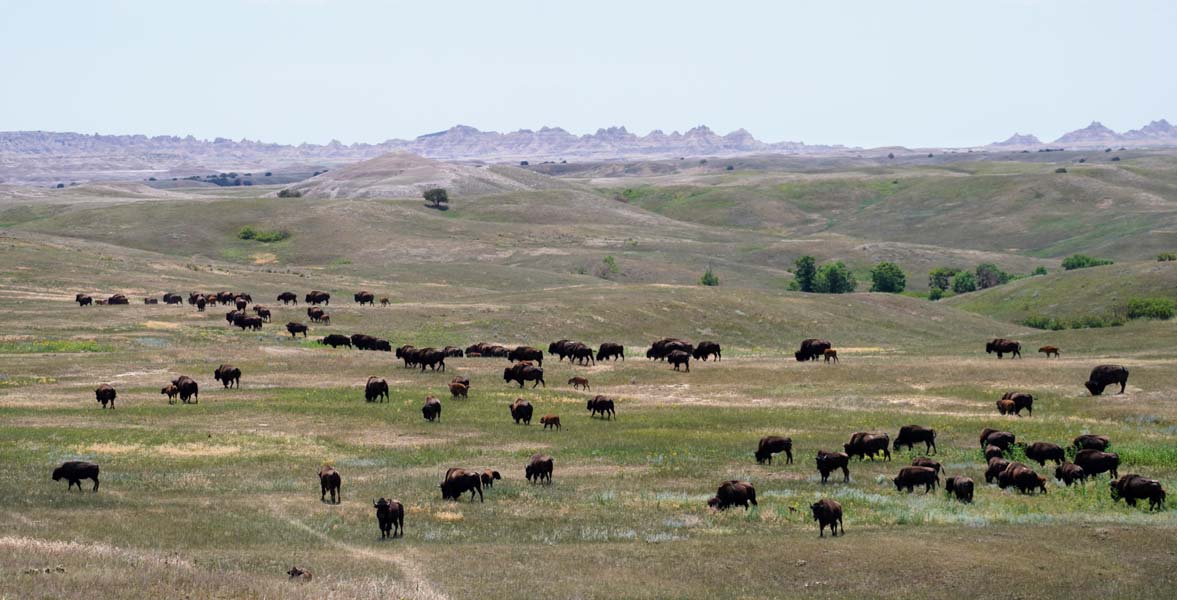
When we were back from the Sheep Mountain Table
Road, we saw another big herd of bison on the grassland across SD Hwy 27.
It seems a big bison day for us :-)
- Red Shirt Table Overlook
We continued drive south to the South Unit
(Stronghold Unit) of the Badlands National Park. Unlike the
North Unit, there are no roads that cut through the South Unit. The
South Unit is a beautiful part of Badlands National Park, and this drive
around its perimeter offers spectacular sights. We stopped by the
White River Visitor Center (for a quick restroom break) and the Red Shirt
Table Overlook, providing one of the most colorful vistas in the park.
Going Home ...
We concluded our 10-day Dakota road trip
after returned to Rapid City Airport at about 3:30PM. It's amazing to see
the "raw" American Midwest: from the rolling prairies to the barren
badlands, from the dramatic Black Hills needles and spires to the fantastic but
yet mysterious underground caves, from the vast wilderness to abundant wildlife,
from the cultural heritage of native Dakota tribes to the iconic Mount Rushmore
American spirits, this was a trip of different American experiences.
[Back to Photo Page]
[Go to Badlands Gallery]


