Theodore Roosevelt National Park is in the badlands of western North Dakota
comprising three geographically separated areas: the North Unit, the South Unit,
and the Elkhorn Ranch Unit. Theodore Roosevelt first came to the North
Dakota badlands to hunt bison in September 1883. Roosevelt put down an
initial investment of $14,000 to build the Maltese Cross Cabin. After the
death of both his wife and his mother on February 14, 1884, Roosevelt returned
to his North Dakota ranch seeking solitude and time to heal, and he started his
second ranch, the Elkhorn Ranch, 35 miles north of Medora. The rugged
landscape and strenuous life that TR experienced here would help shape a
conservation policy that we still benefit from today.
Following Roosevelt's death in 1919, the Little Missouri Badlands were
explored to determine possible park sites. The area was designated the
Roosevelt Recreation Demonstration Area in 1935. In 1946 it was transferred to
the United States Fish and Wildlife Service as the Theodore Roosevelt National
Wildlife Refuge. President Truman established the South Unit of Theodore
Roosevelt National Memorial Park on April 25, 1947, the only National Memorial
Park ever established. In 1978, in addition to boundary adjustments and
the establishment of 29,920 acres (121.1 km2) of the Theodore Roosevelt
Wilderness, the park's designation was changed to Theodore Roosevelt National
Park, the only American national park named after a single person.
Getting there ...
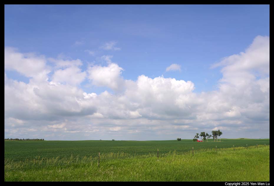
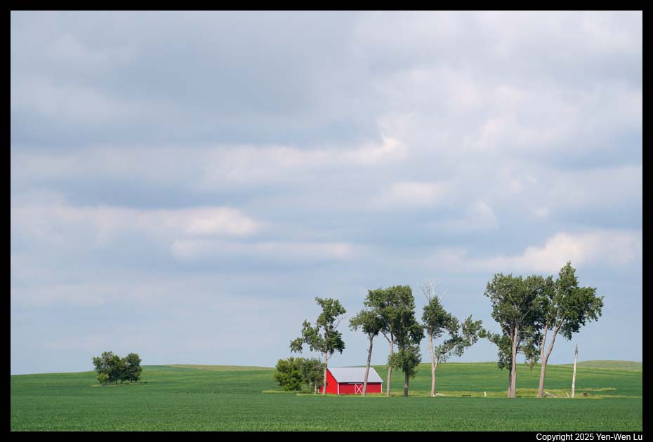
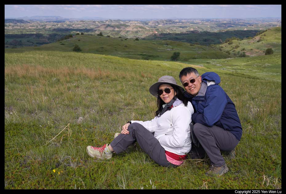
We had an early flight from San Francisco to Denver, and then to Rapid City
in South Dakota at about 1:00PM, and started our 4-hour driving to Medora in
North Dakota. Here is our Dakota (plus a little bit Wyoming) road trip
itinerary for the next 10 days.
Day 1 (6/20) ...
- Painted Canyon
We arrived at the Painted Canyon in the South Unit one
minute after 5PM (so the visitor center was just closed...). We
just spent a few minutes at the overlook for the magnificent panorama of the
badlands and colorful hills before went to Medora, where we would stay for 3
nights.
- Wildlife in the South Unit
After a quick dinner in the hotel room, we
headed out to the South Unit. The sky was clearing up and we saw many
wildlife, especially a herd of wild horses (and they ran beside us and crossed
the road in front of us, video).
- Wind Canyon
It's a short trail to get a spectacular view of the
Little Missouri River to see the sunset.
Day 2 (6/21) ...
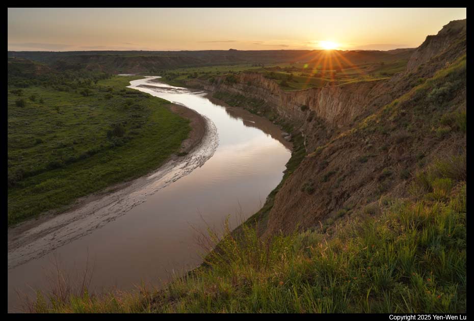
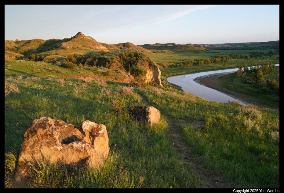
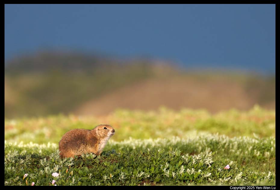
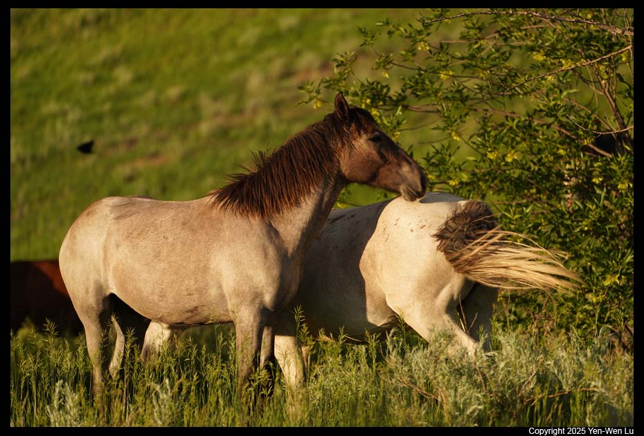
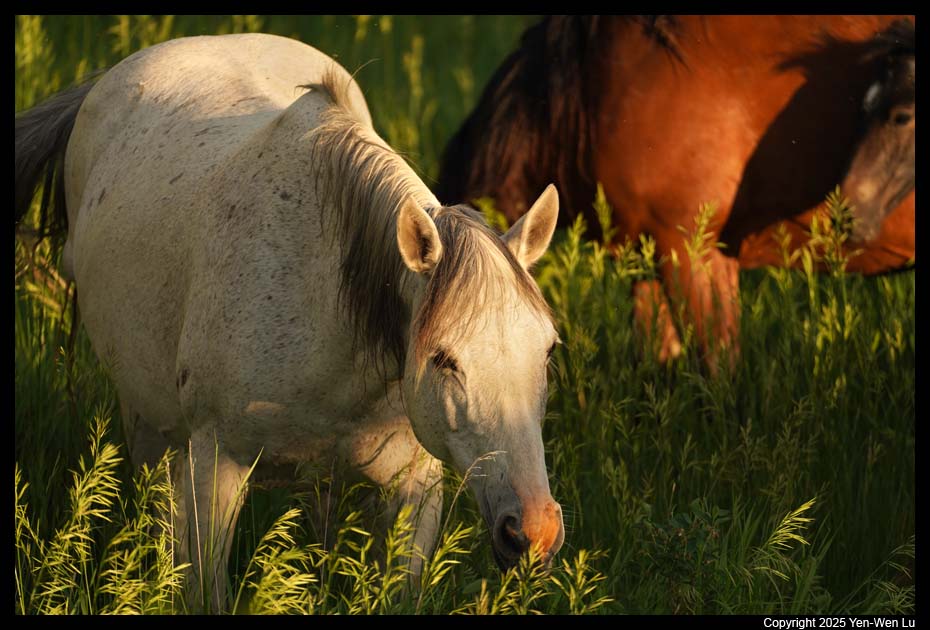
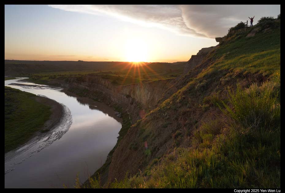
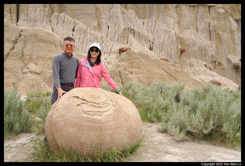
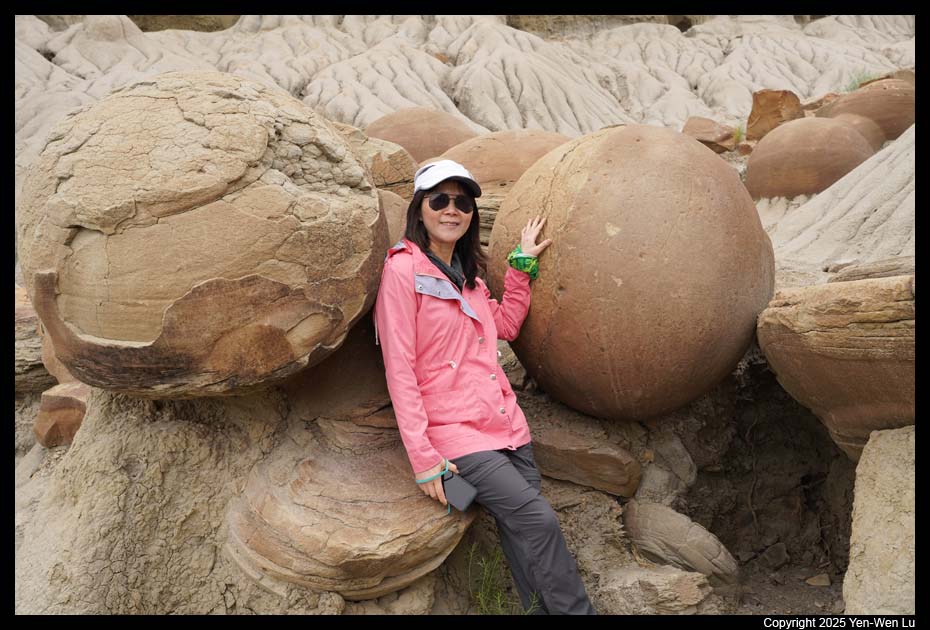
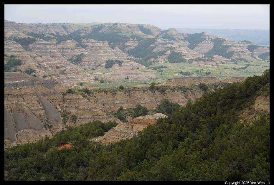
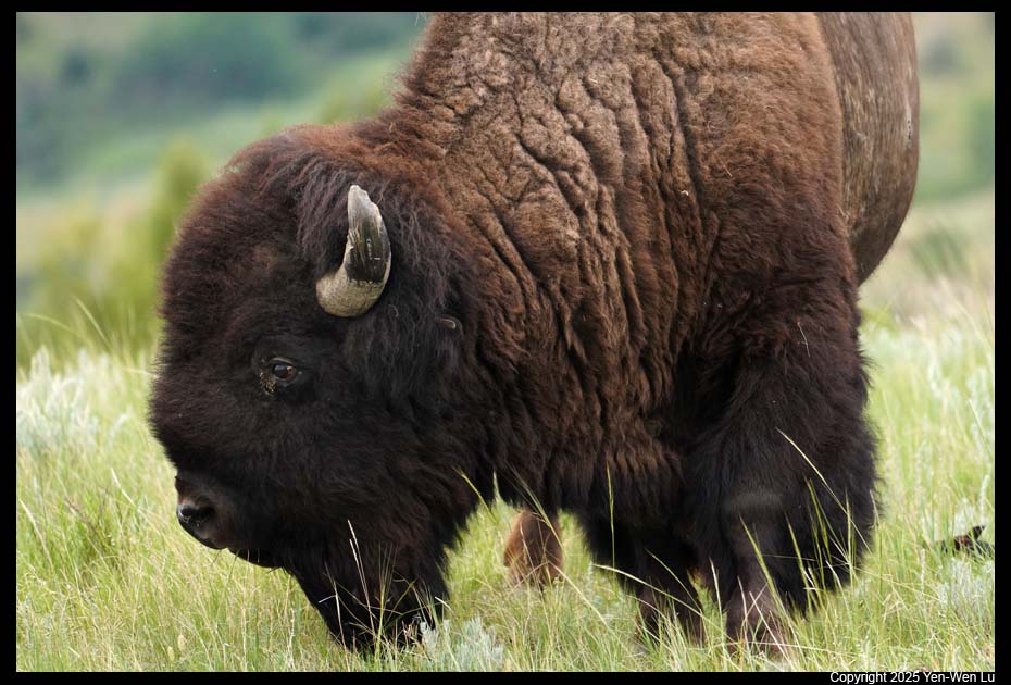
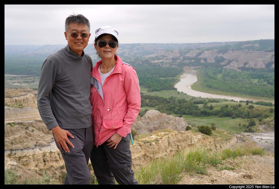
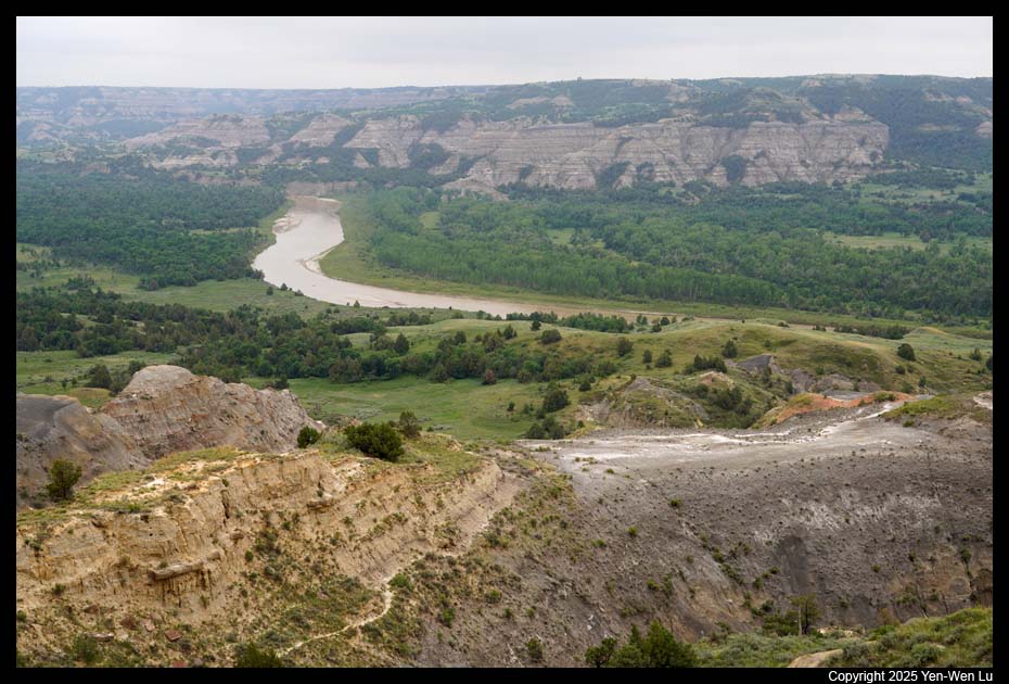
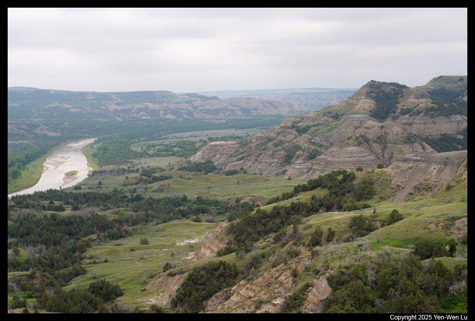
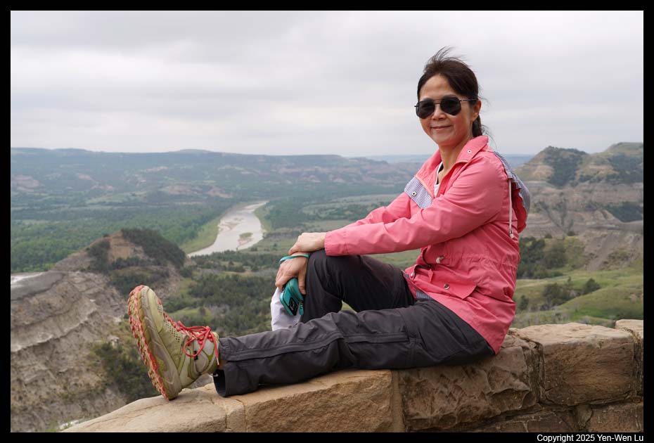
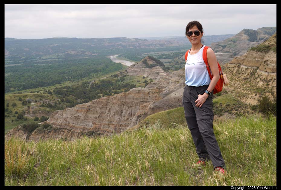
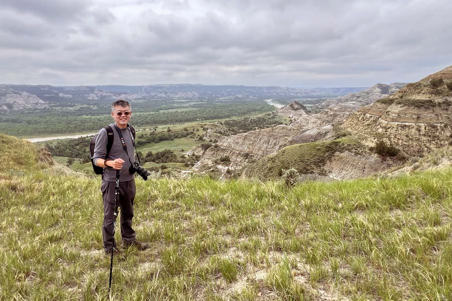
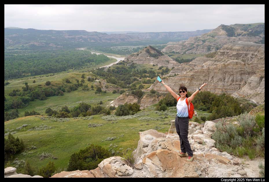
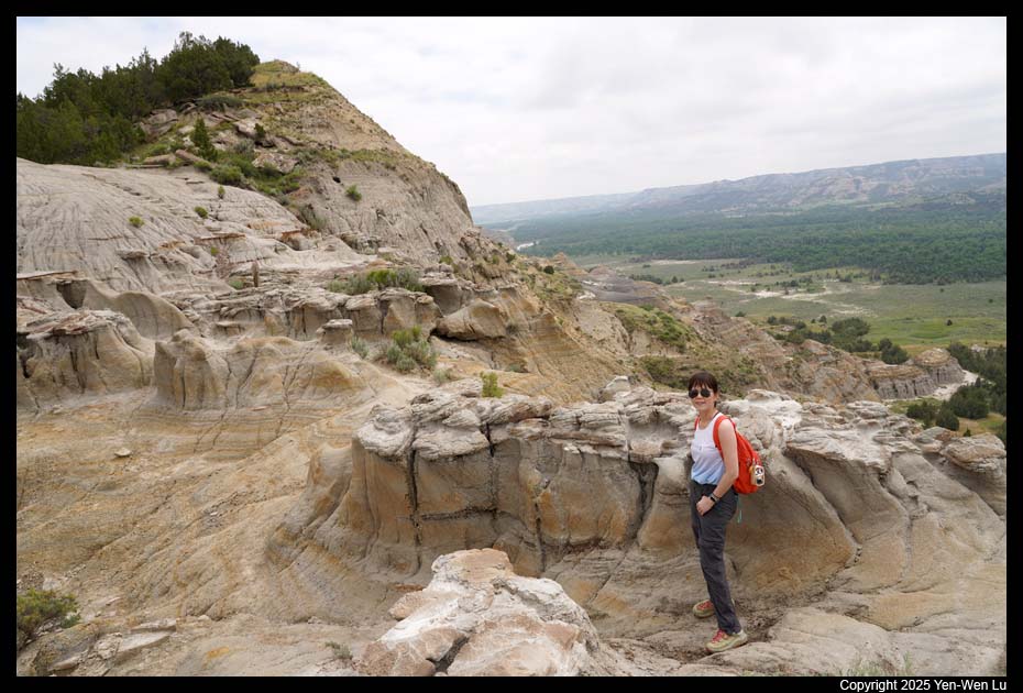
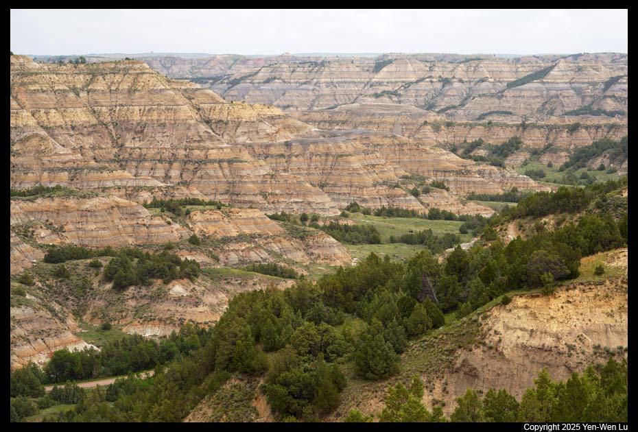
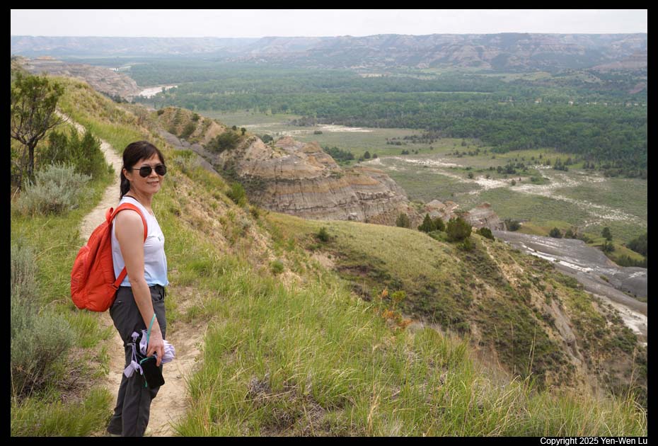
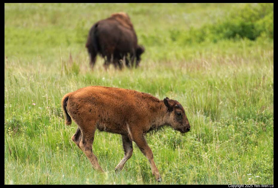
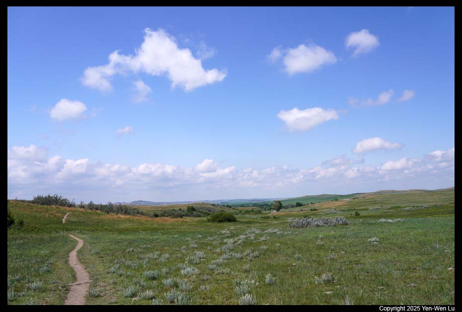
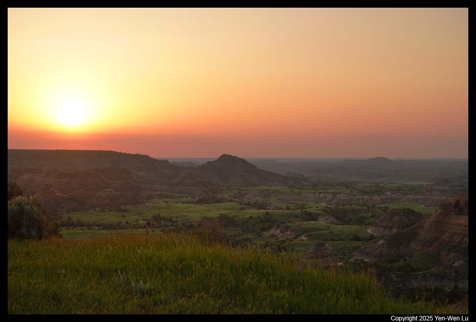
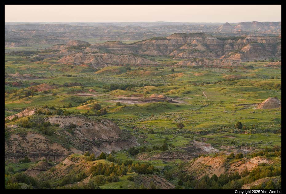
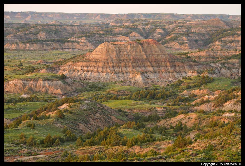
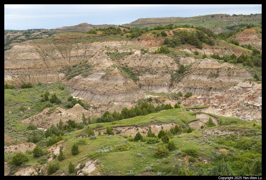
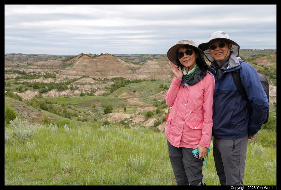
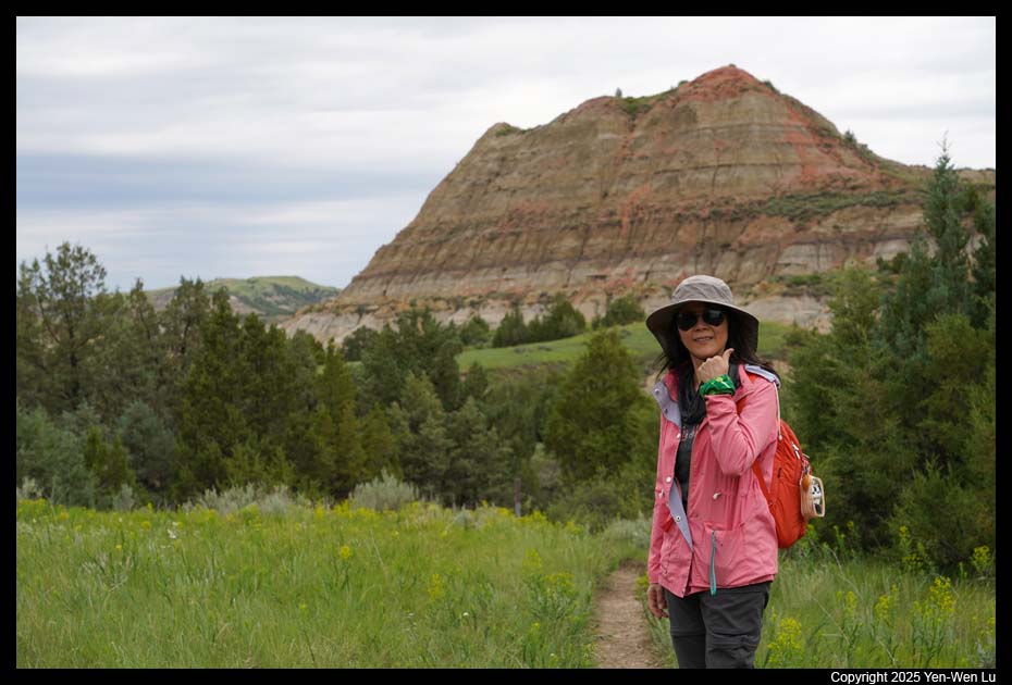
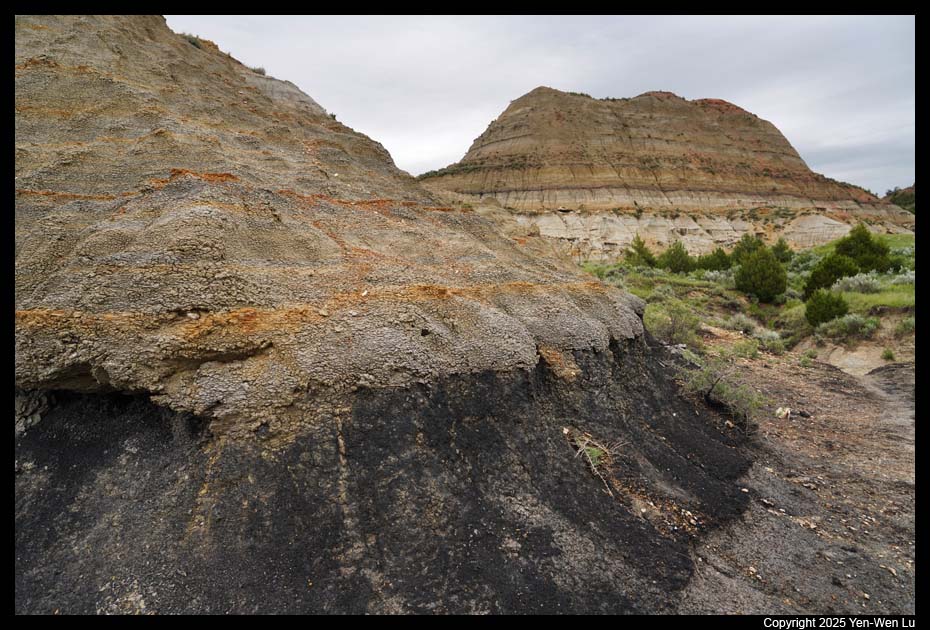
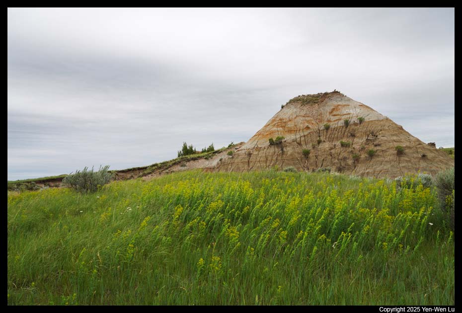
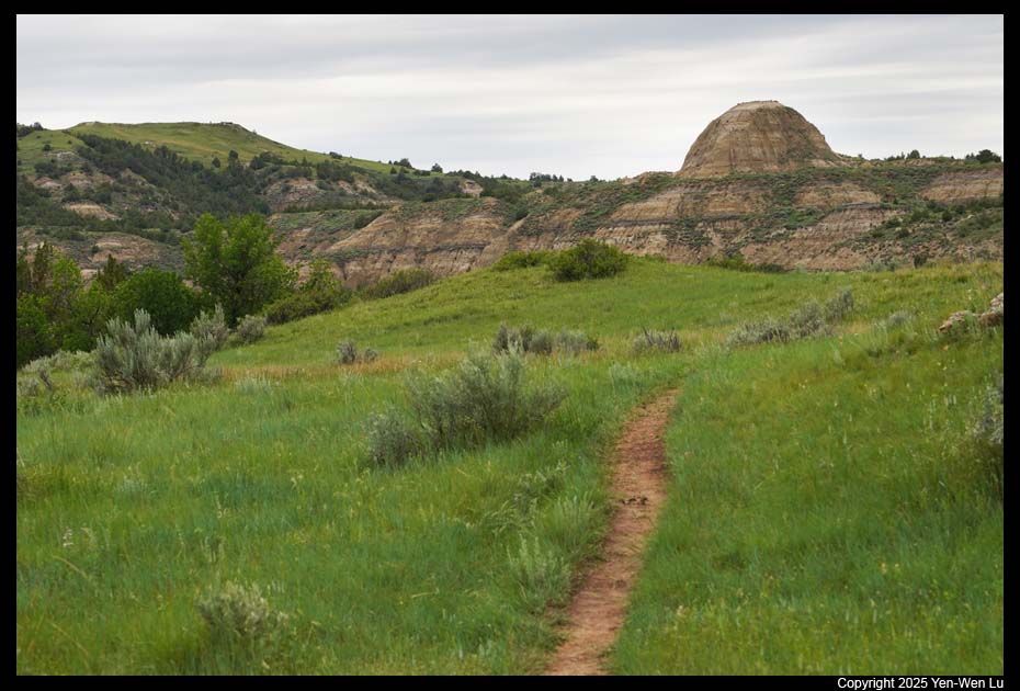
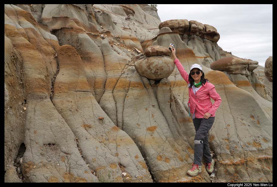
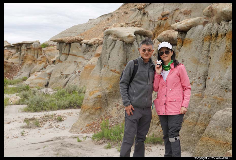
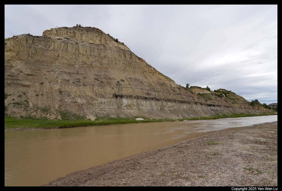
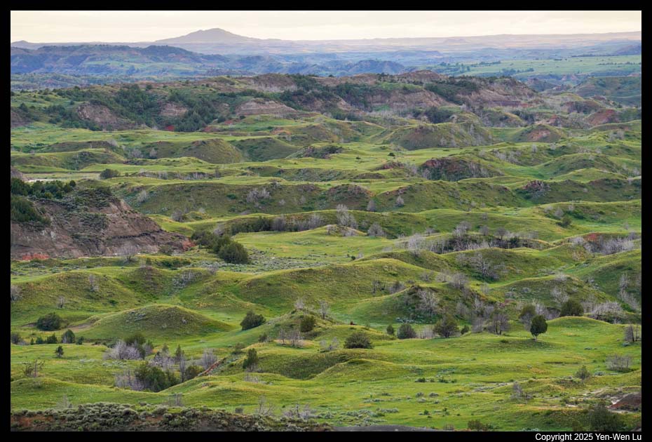
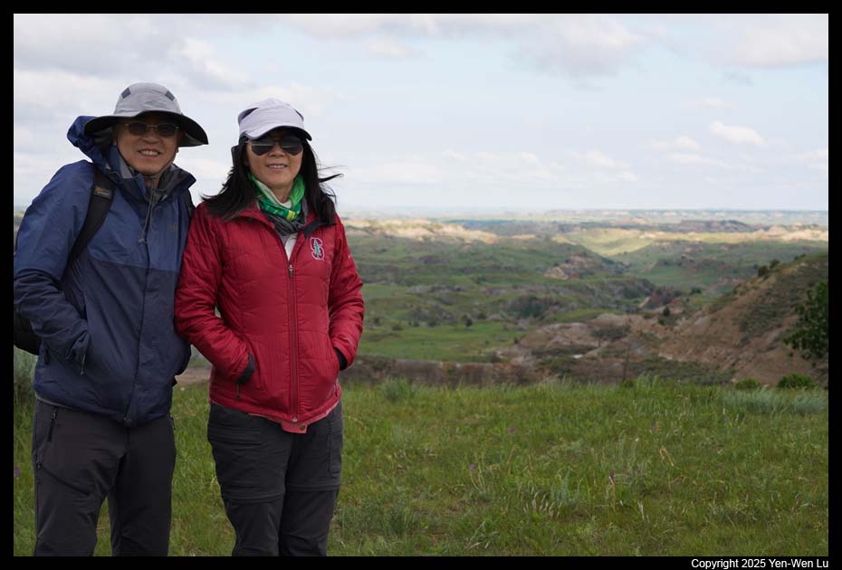
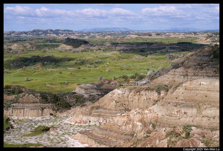
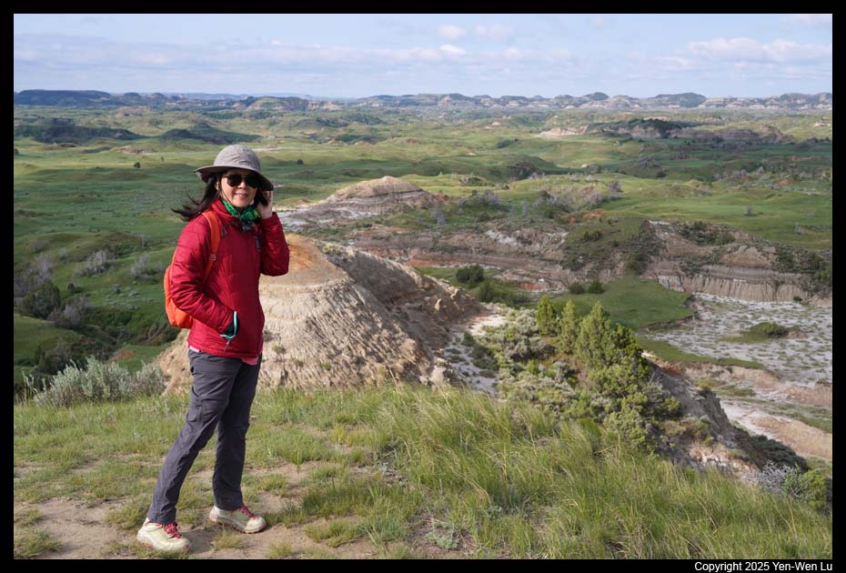
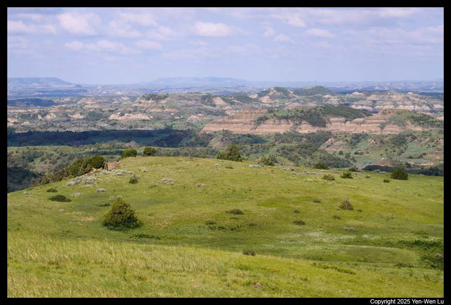
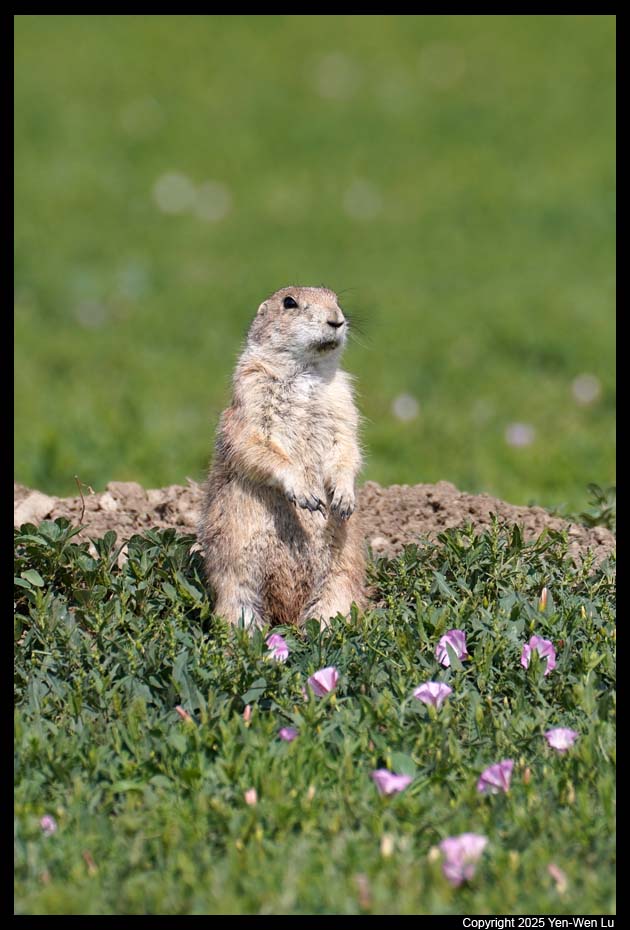
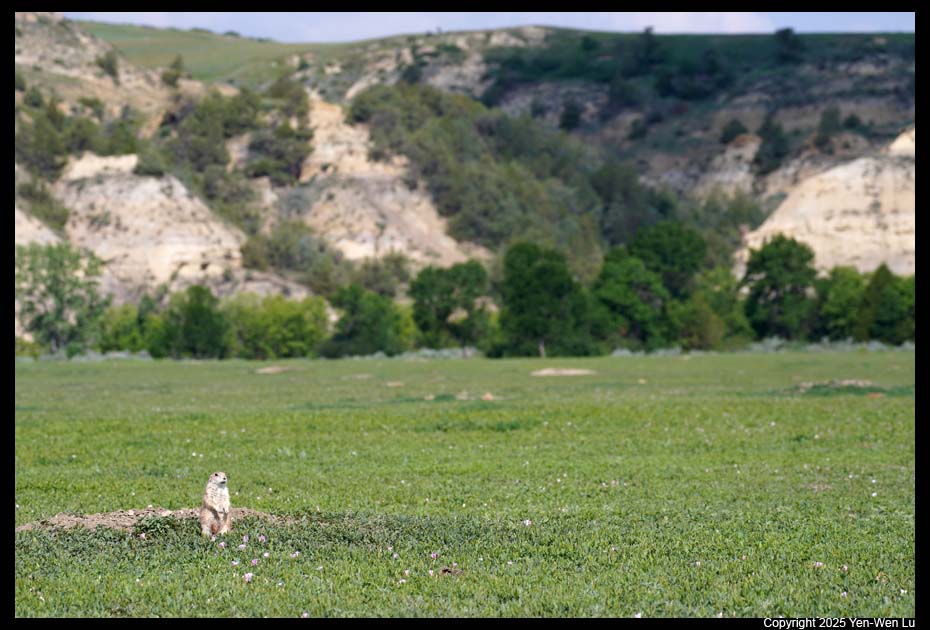
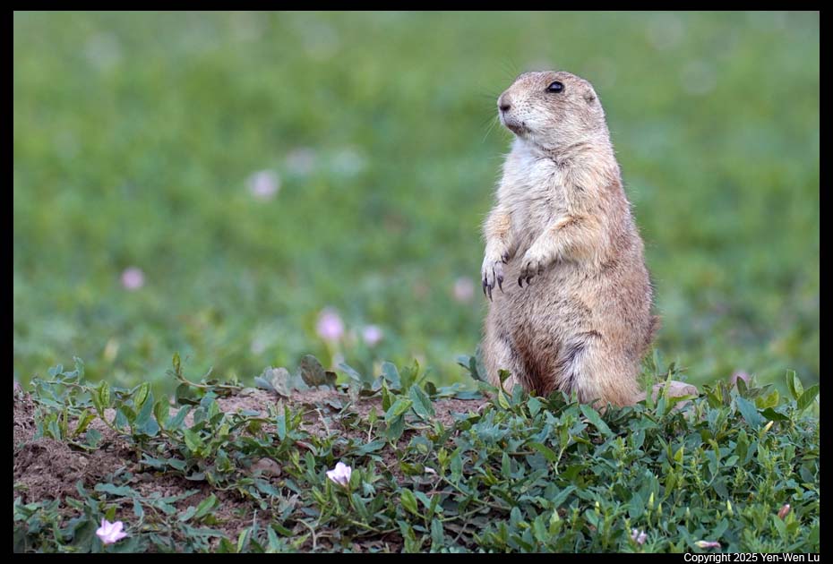
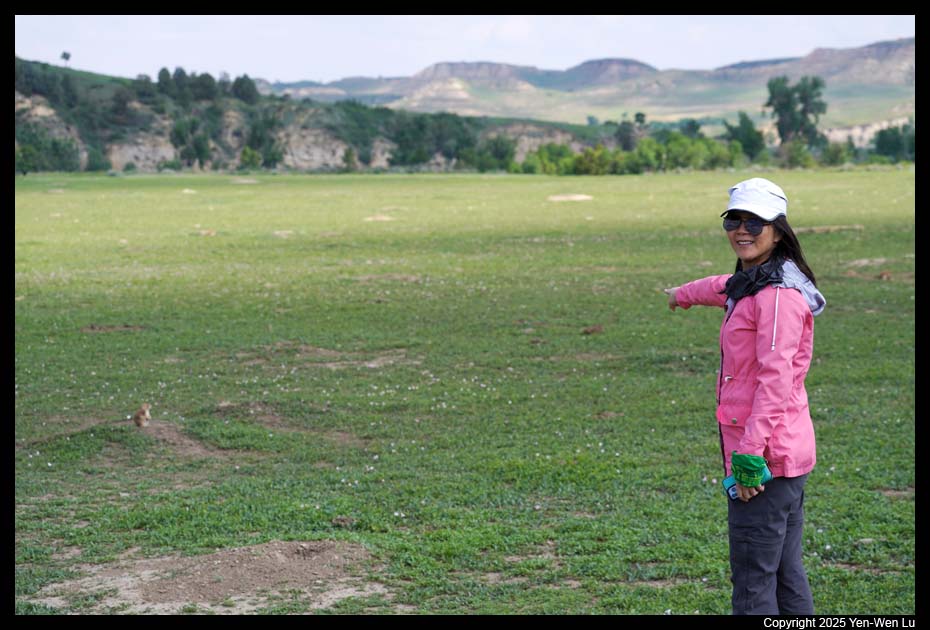
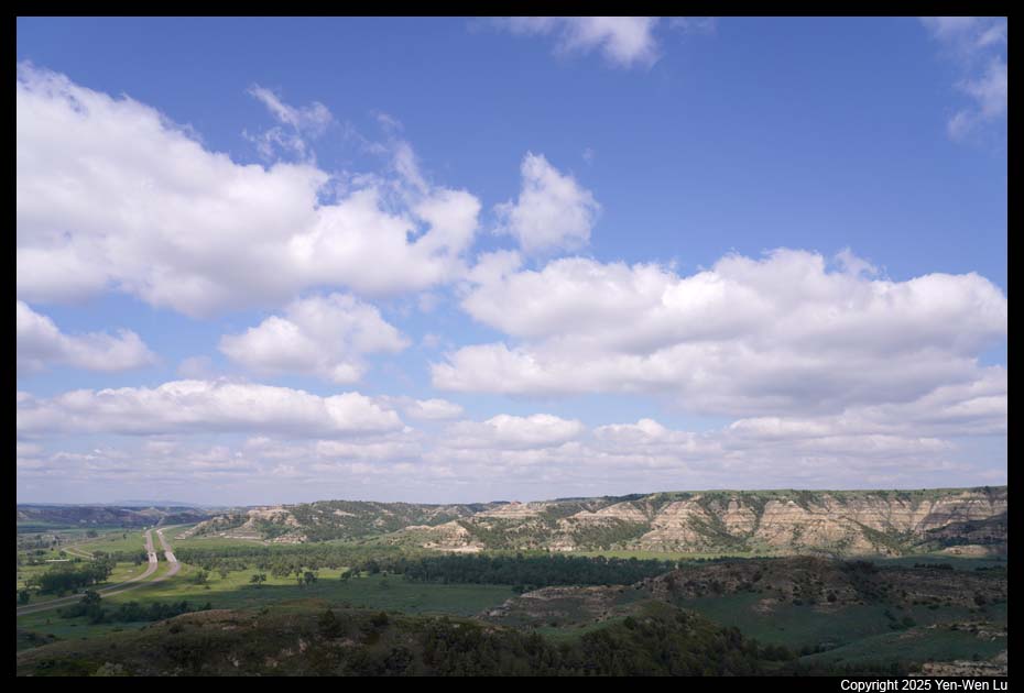
The North Unit of Theodore Roosevelt National Park is situated about 80 mi
(130 km) north of the South Unit, and it takes more than an hour of drive from
Medora. The Scenic Drive of the North Unit is 14 miles long. It starts at
the entrance to the North Unit and ends at Oxbow Overlook. Along the way
are pull-outs with overlooks and trailheads. One confusing thing in North
Dakota is that there are
two
time zones in the state, and the North Unit of TRNP is in the Central
Time, while the South Unit is in the Mountain Time. In fact, when we were
hiking in the North Unit, we were so confused with the time because our cell
phones sometimes show different
times.
- Cannonball Concretions
These "cannonballs" were formed when sand
grains from an ancient river deposit were cemented together by minerals
dissolved in groundwater. It was interesting to walk around to feel
the size of these cannonballs. We then crossed the road to walk a
small section of Little Mo Nature Trail to the
Little Missouri River.
- Caprock Coulee Trail
The Caprock Coulee Trail is a 4.3-mile loop with
River Bend Overlook at about its mid-point. The first 0.75 miles of
this trail consists of the Caprock Coulee Nature Trail, hiking through
badlands terrain and dry washes. The trail becomes more strenuous as
it climbs to the top of a grassy butte, follows a ridgeline with incredible
views, where we had close encounters with a couple of bison on the trail.
- River Bend Overlook & Caprock Coulee Trail
We had our lunch break at
the scenic River Bed Overlook with our favorite instant rice balls.
The trail continued along the edge of the badlands, and we got awesome views
over the Little Missouri River.
- Wildlife on the Scenic Drive
- Oxbow Bend Overlook & Sperati Point
The Scenic Drive ends at the
Oxbow Bend Overlook, where the Little Missouri River takes a hard turn from
the south to the east (with a curvy S-turn). The river originally
continued north to Hudson Bay. During the last ice age, continental
glaciers blocked its way, forcing the turn. We took the Achenbach
Trail to Sperati Point (2.4-mile flat round-trip) with even better views of
Little Missouri River than at the Oxbow Bend Overlook.
- Sunset at the Painted Canyon
After a pizza dinner in Medora, we went
to the Painted Canyon Overlook for an amazing sunset.
Day 3 (6/22) ...
- Painted Canyon Trail
Painted Canyon Trail is 4.2-mile round-trip with
steep initial descent of 400 feet from the canyon rim to canyon floor (it
means we need to climb back up when we return...). The landscapes
along the trail were dramatic and you could get a close look at the rock
layers. However, it was a windy and cold day today...
- Peaceful Valley Ranch
After lunch at a local small cafe,
Cowboy
Cafe (right next to our hotel), we went to the Peaceful Valley Ranch in the
South Unit and hoped to hike the Ekblom Trail. However, the
water level of the Little Missouri was too high and it was not possible to
cross the river without getting wet in your lower body. In fact, we did not
even know how deep the river really was. A guy was just standing about
10 feet from the riverbank, and the water was already to his knees. We
turned around from the riverbank and walked around the ranch, and decided to go back to our
hotel in Medora to take a break. A few minutes after we retreated to
our room, it started to rain and pour hard!
- Boicourt Overlook
The rain stopped after a couple of hours, and we went
out for dinner (a little bit chilly with a outdoor seating at the deck on the
2nd floor). Although it was still cloudy and the lighting was not too
good, we still decided to drive to the Boicourt Overlook after dinner.
Day 4 (6/23) ...
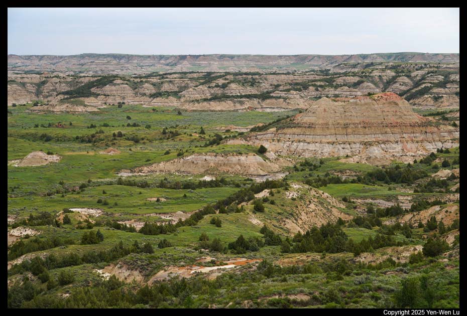
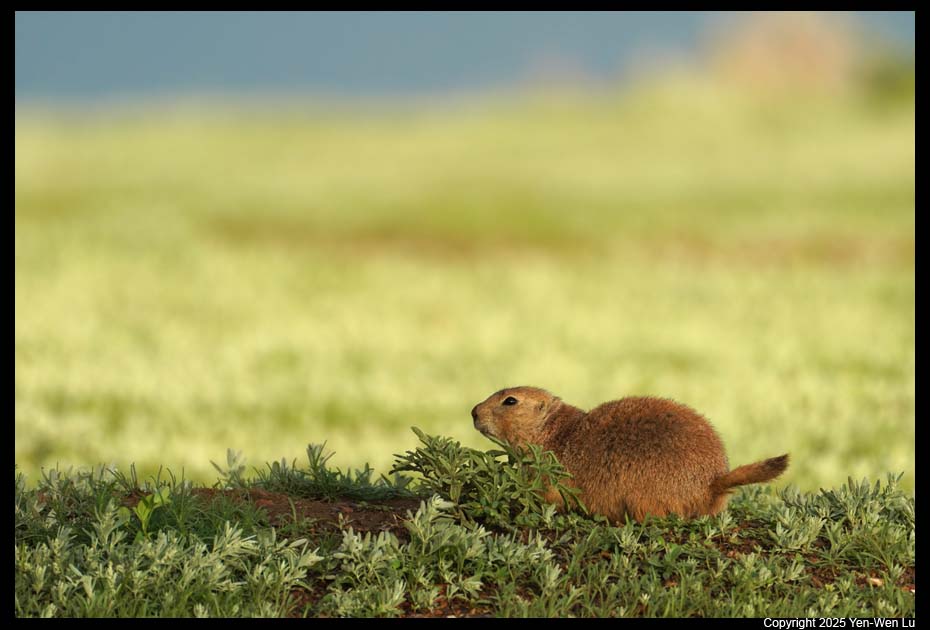
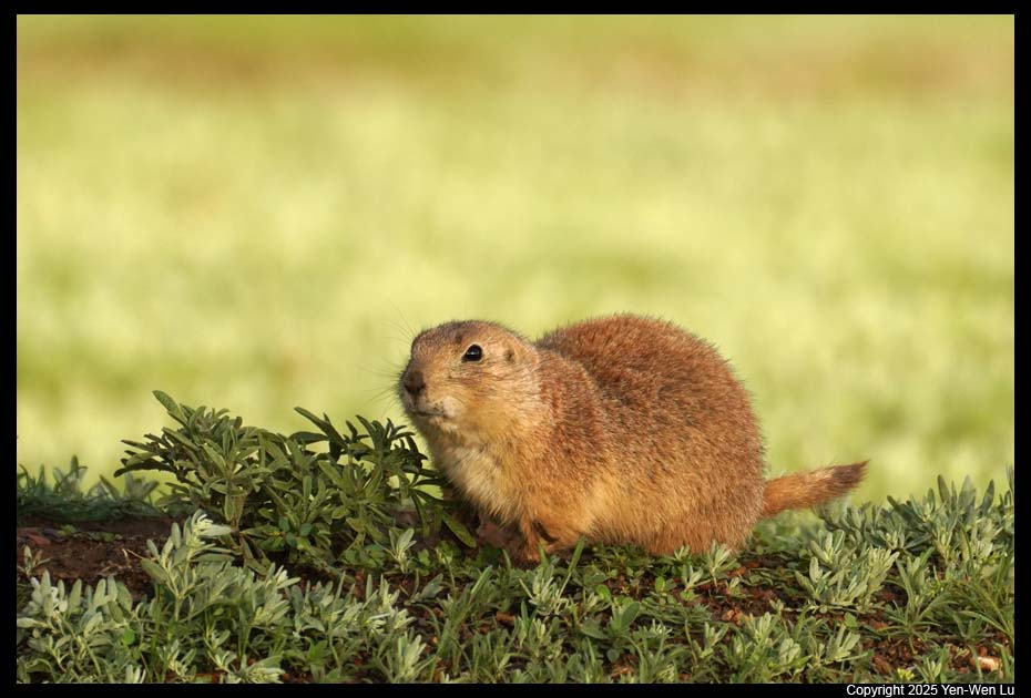
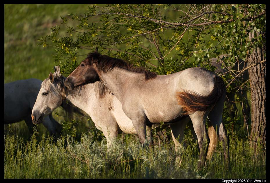
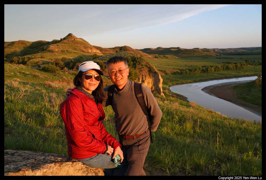
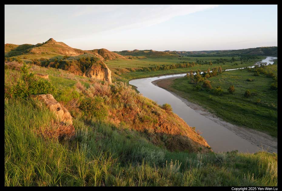
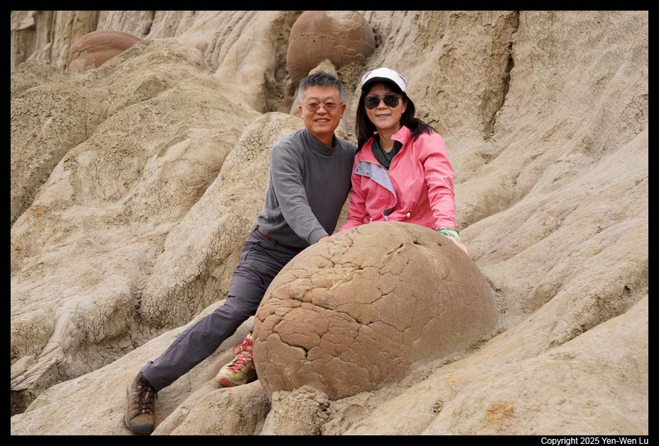
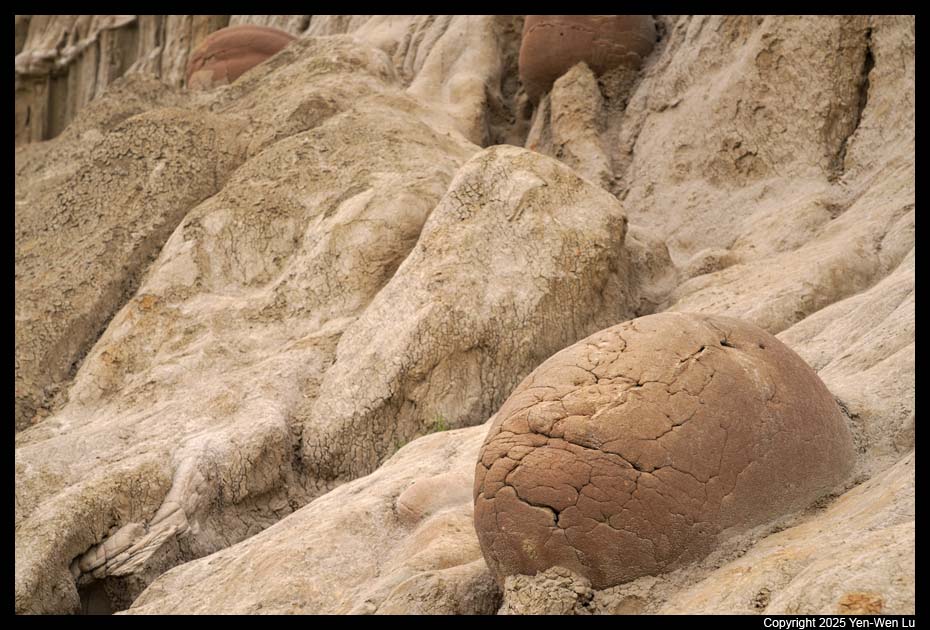
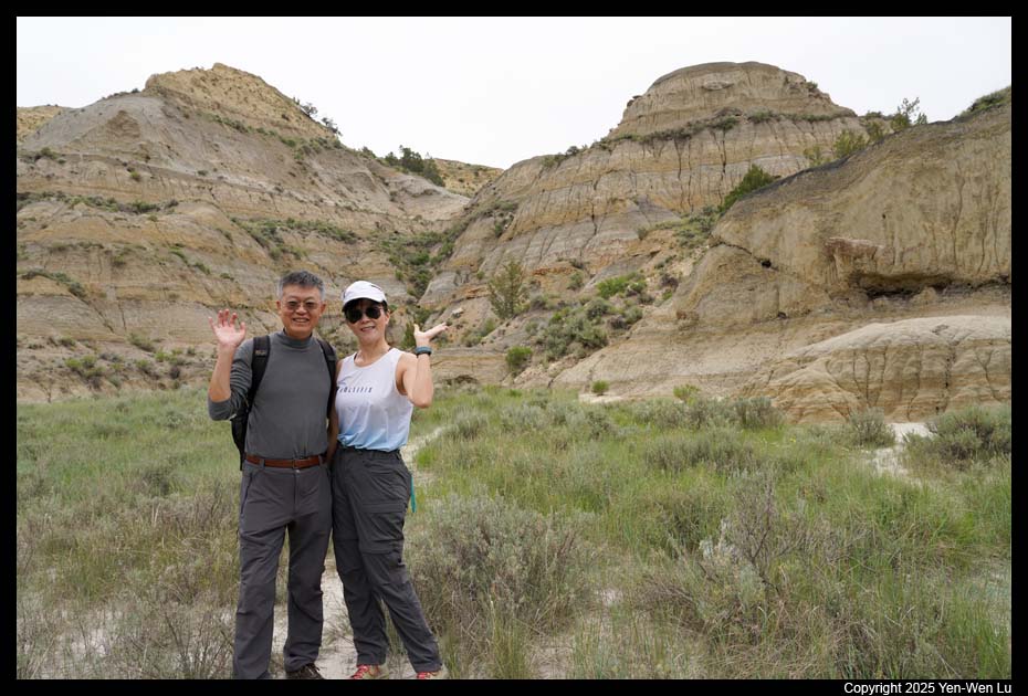
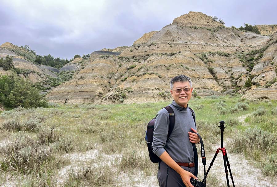
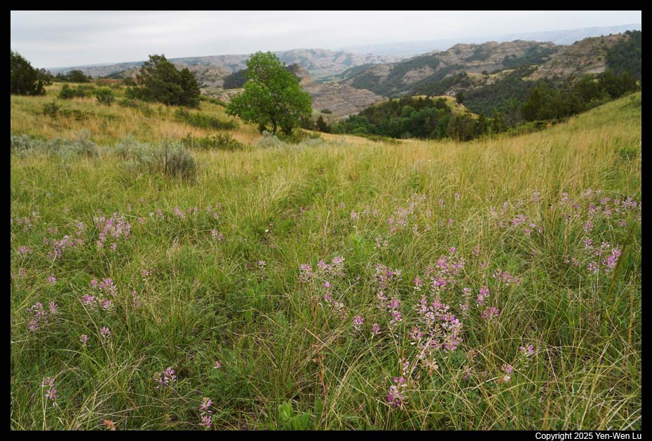
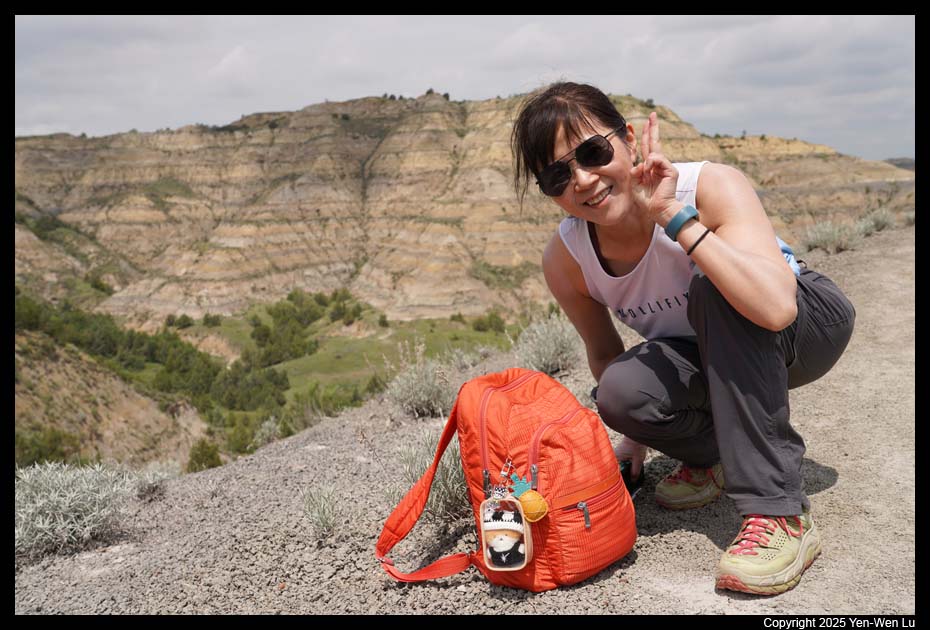
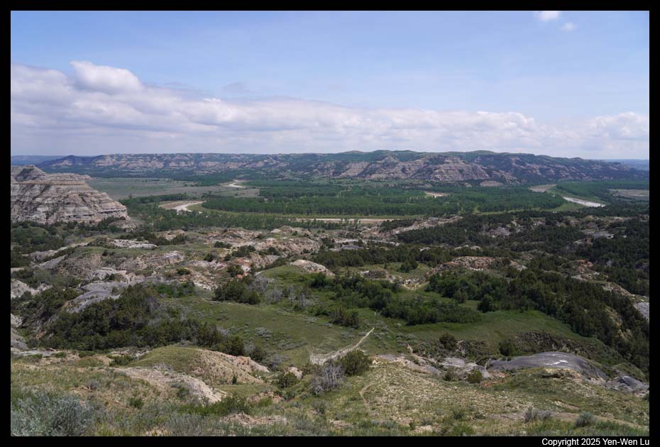
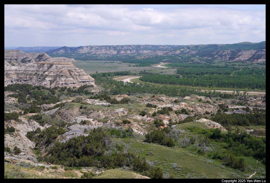
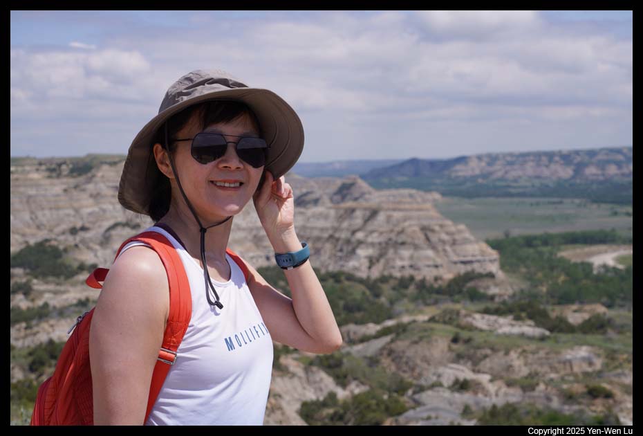
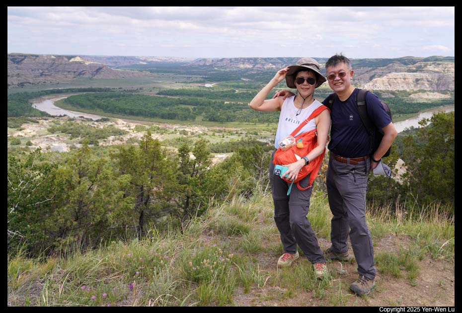
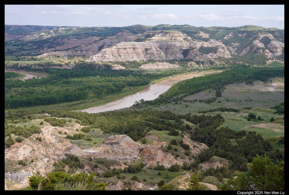
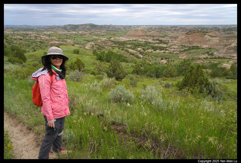
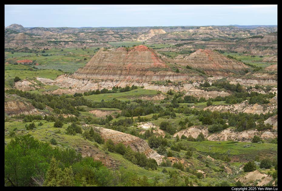
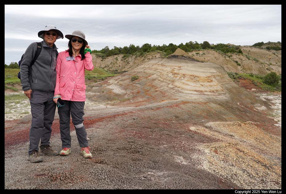
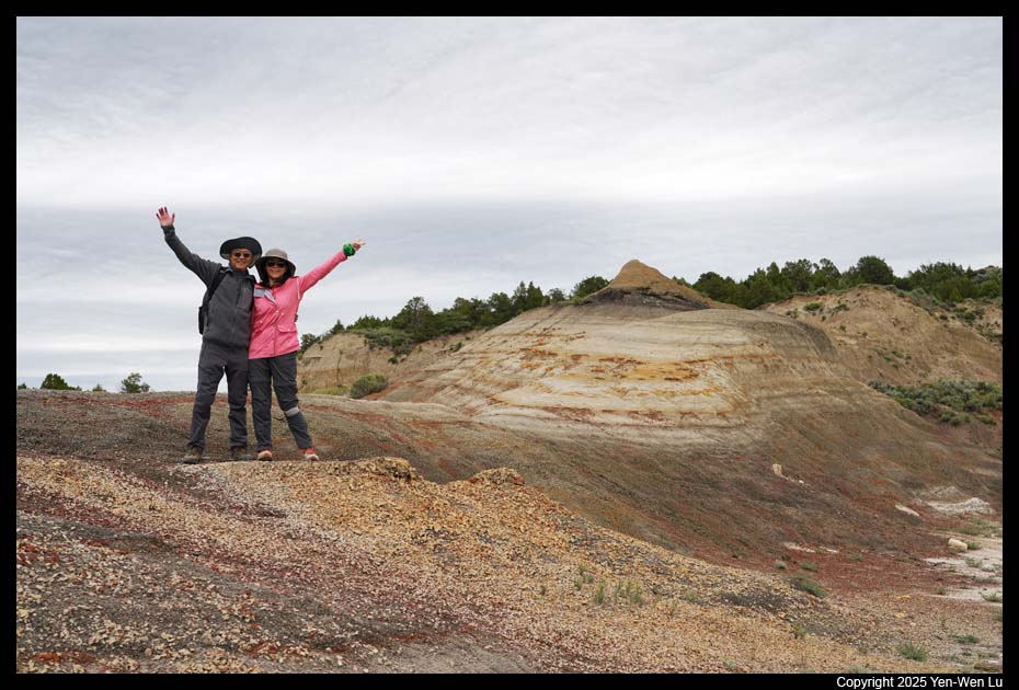
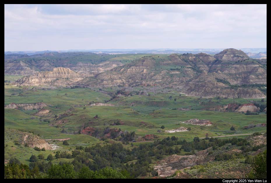
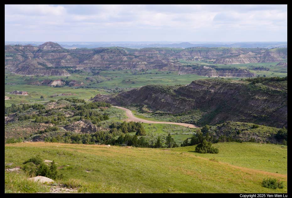
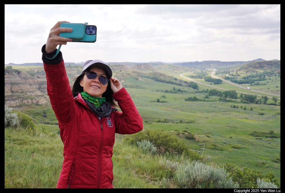
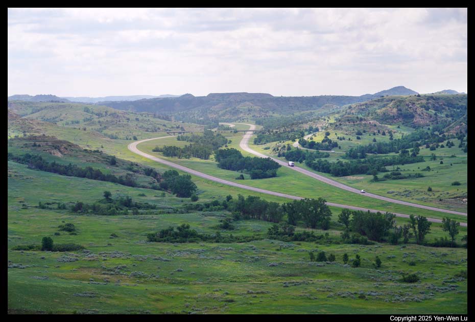
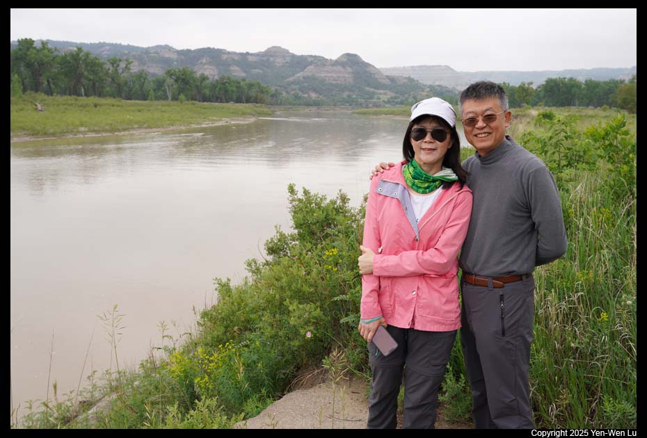
We did not have any big plans today
(I was originally thinking about hiking in the petrified forest areas, but
we felt too cold for such a long exposed hike...). We decided just to
drive along the Scenic Drive Loop in the South Unit to see a few overlooks
or walk short trails.
- Bison on the Scenic Loop Drive
- Prairie Dog Town on the Scenic Loop Drive
Since the Scenic Drive
Loop was closed for construction in its southern section, it was not really
a loop and we had to turn around after a few miles at Coal Vein Trail Road.
We stopped by a prairie dog town on the western side of the Scenic Loop
Drive and had a good time (~ 20 minutes) to sit close to these cute animals.
Going Next ...
After a burger lunch in Medora, we headed west/south to our next destination,
Devils Tower in Wyoming.
[Back to Photo Page] [Go to Theodore Roosevelt Gallery]